
Warrumbungles Grand High Tops and The Breadknife
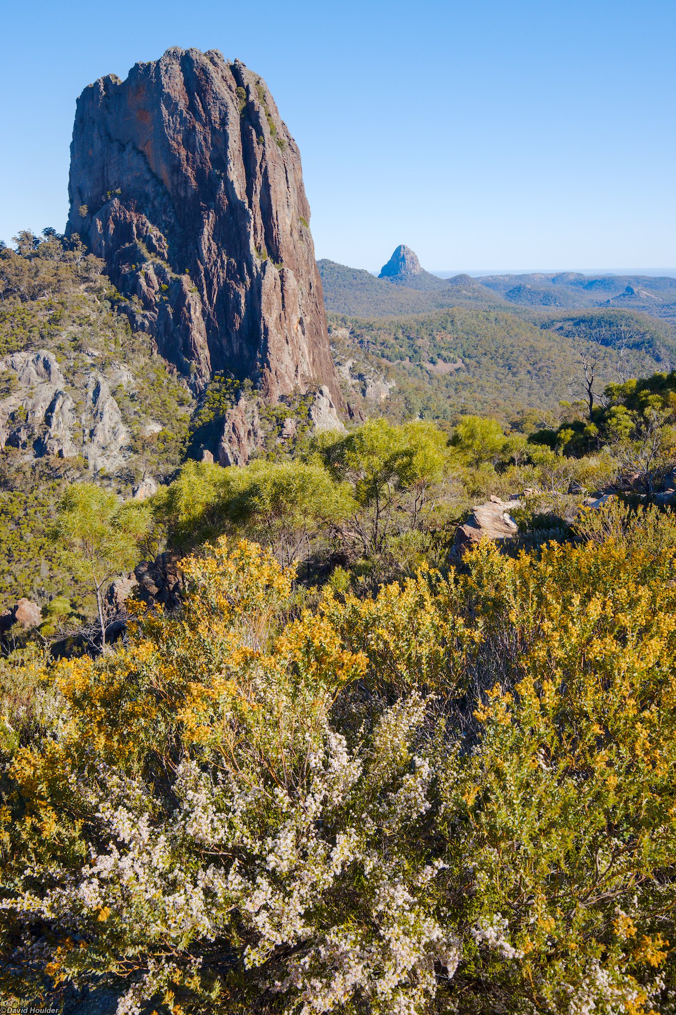
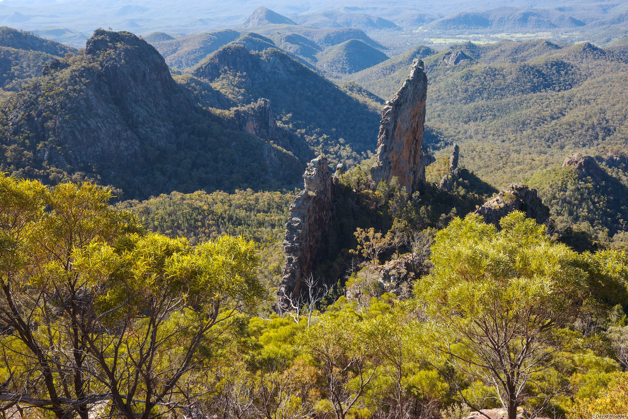
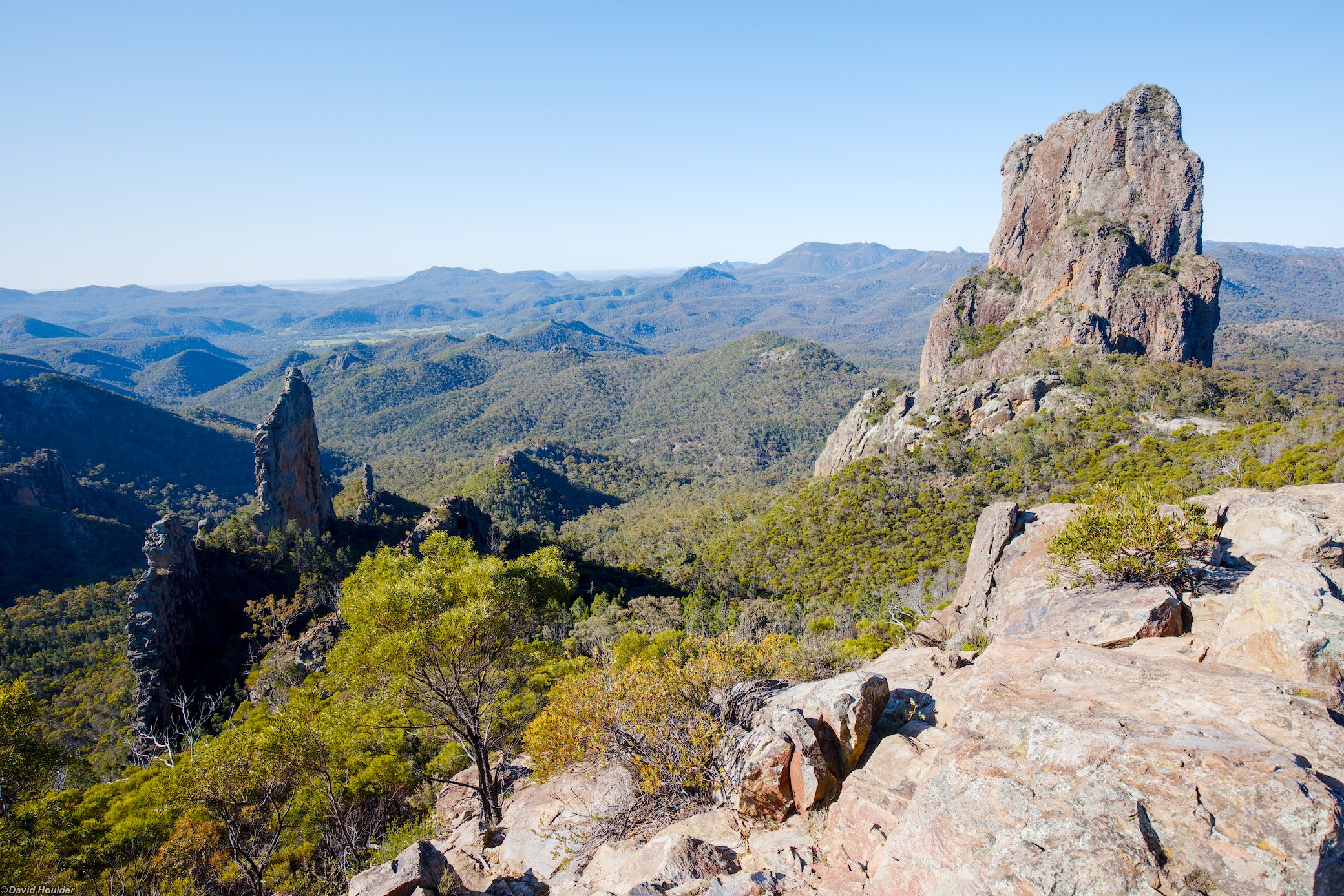
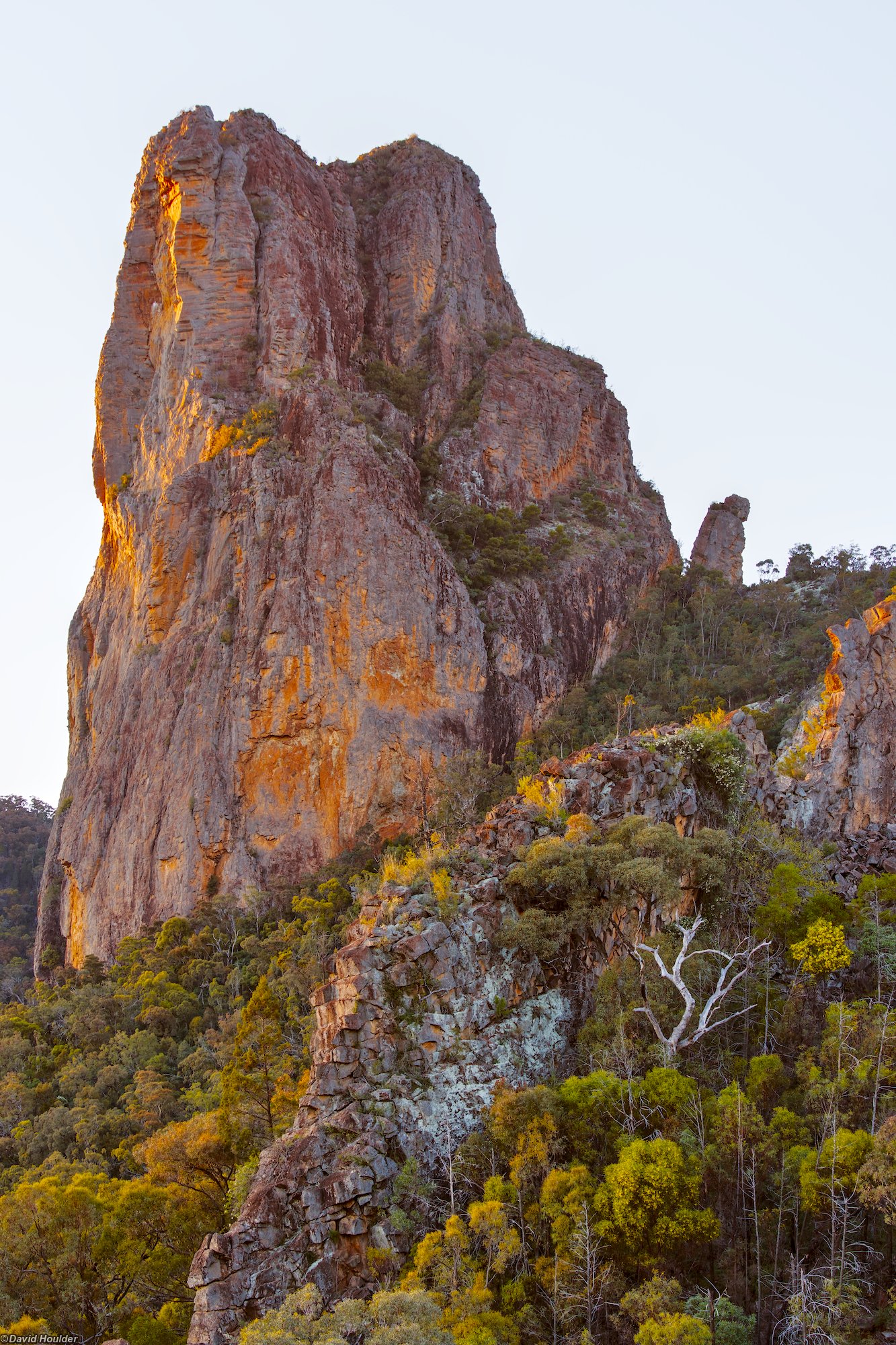
Warrumbungle National Park is situated near Coonabarabran in Central NSW. The main attractions in the park are the volcanic rock formations, and the most intriguing of these is arguably The Breadknfe. If you've watched the video clip for David Bowie's Let's Dance, you've seen the Warrumbungles skyline.
The Grand High Tops walk is probably the most popular walk and is typically done as a day walk, but you can make it an easy two-day trip by camping at Balour Hut, which you need to book. I think the campground is a better option than the hut — more on this below. The are other campsites along the route, but only Balour Hut has a water tank and toilet. Check the water availability with the rangers at the visitors' centre before you start. You could walk this loop in either direction, but I would recommend clockwise. That way, you arrive at Balour Hut fairly early and have time to explore the Grand High Tops in the afternoon before returning to the hut. You're also using the highest quality part of the track for the ascent, although none of it is particularly steep or tricky.
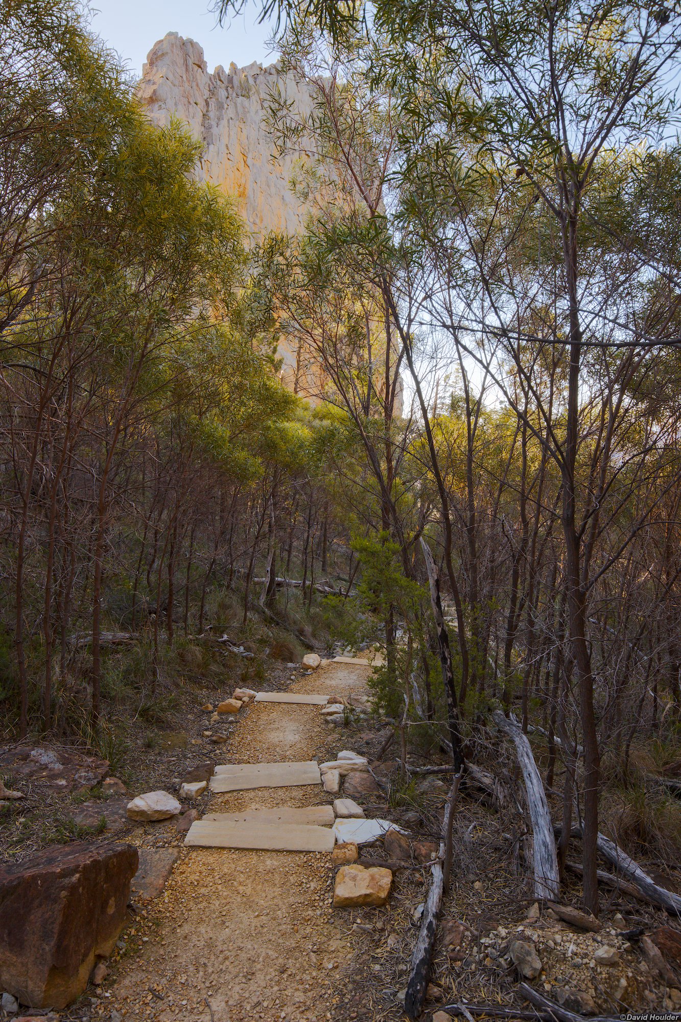
The track on the way up from the trailhead is exceptionally well made. It's mostly paved, with bridges and elaborate metal stairways leading up to the foot of The Breadknife. The rest of the track heading west and north is good and wide, but not quite as remarkable as the route up.
In addition to the usual native wildlife there are goats, which will probably eat anything they can get their teeth into, so be careful with your food.
Day one 🔗
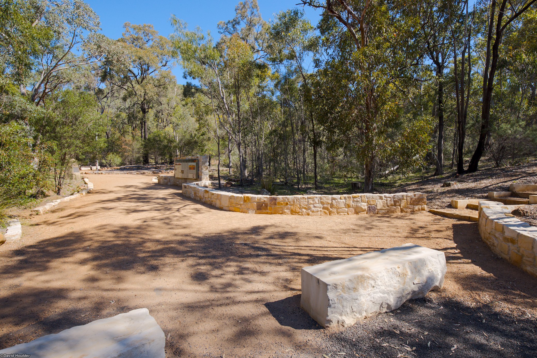
A sign of things to come. The track is exceptionally well made from here to the top of The Breadknife.
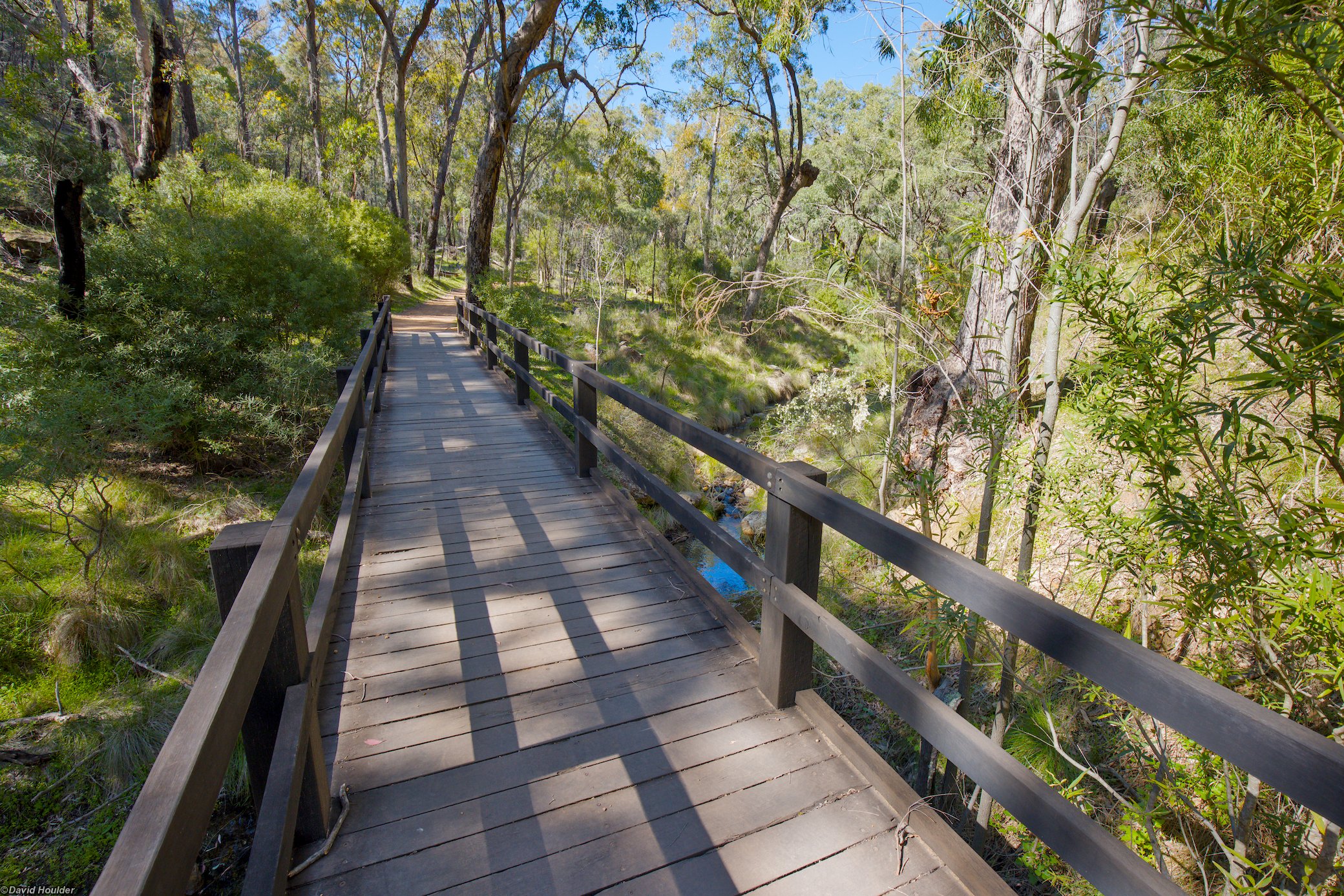
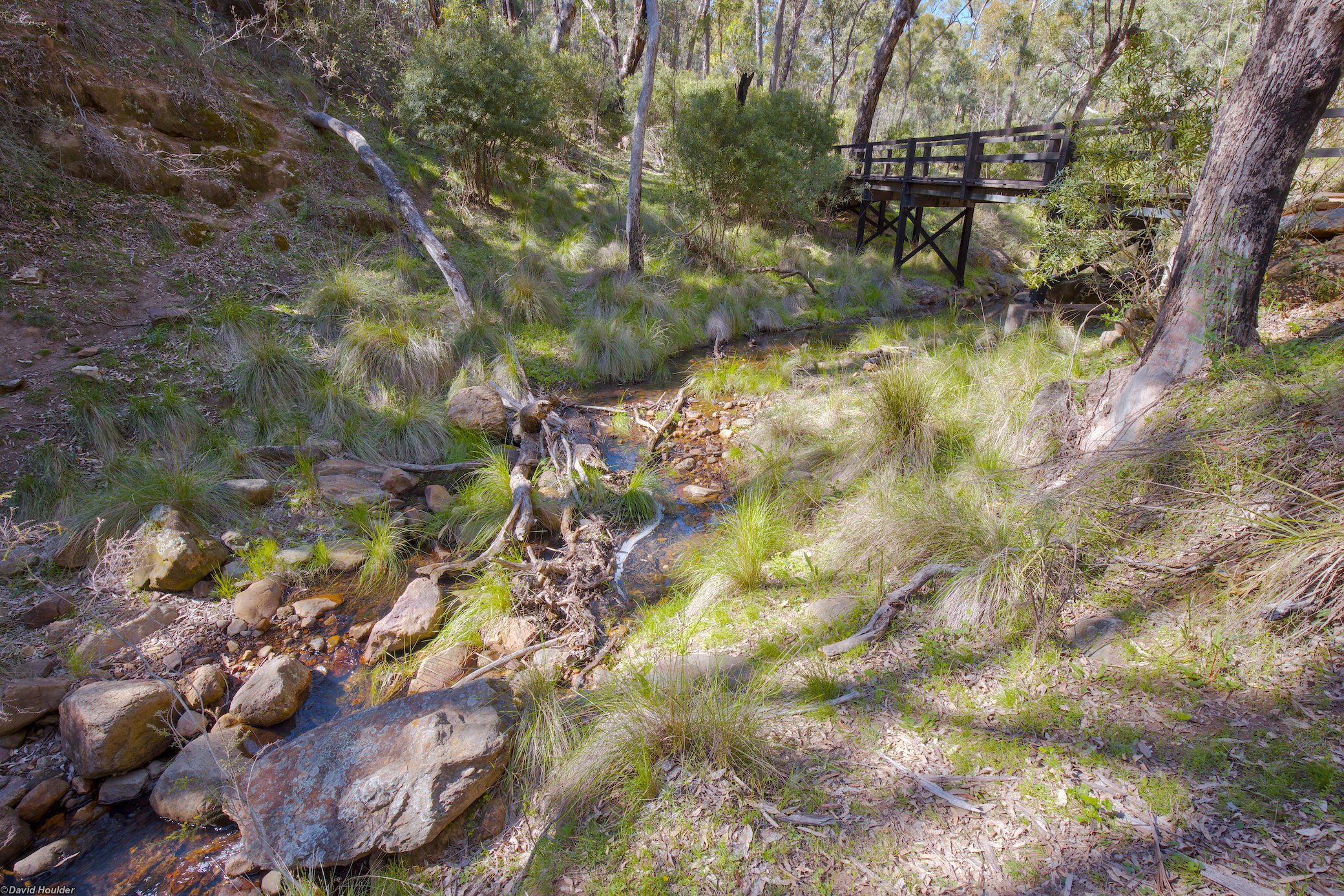
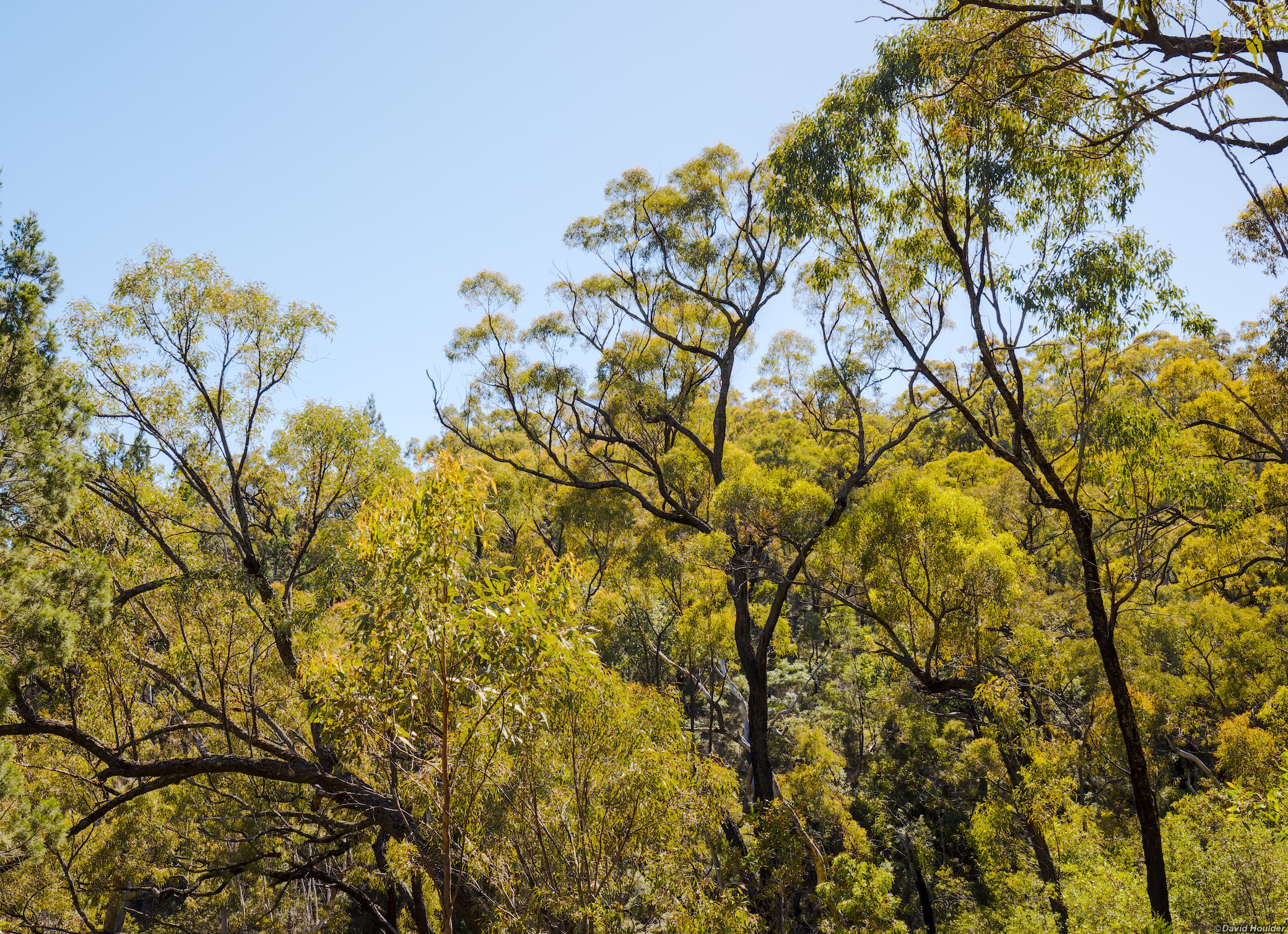
I walked this in September after a fairly wet season. It might not be this green at other times.
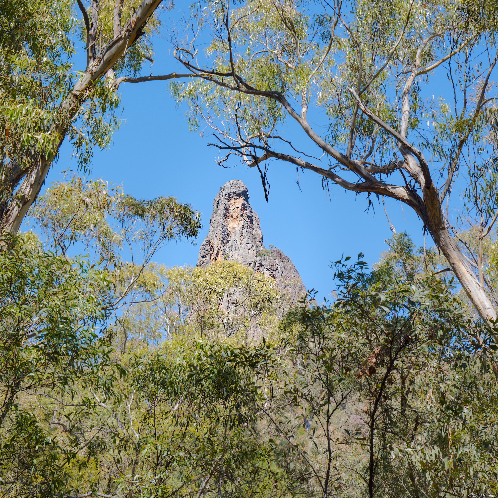
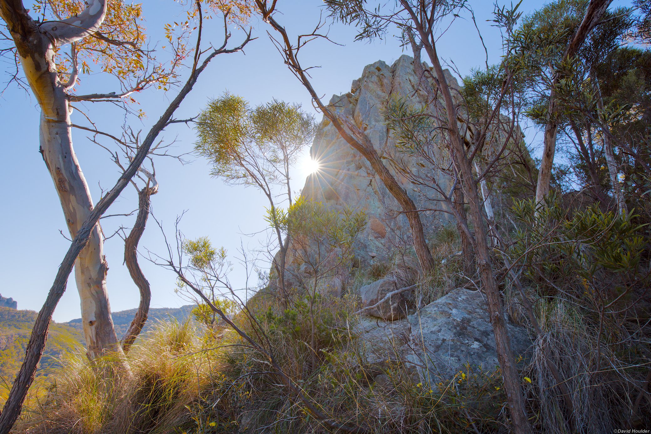
Looking through the trees at Spirey View lookout.
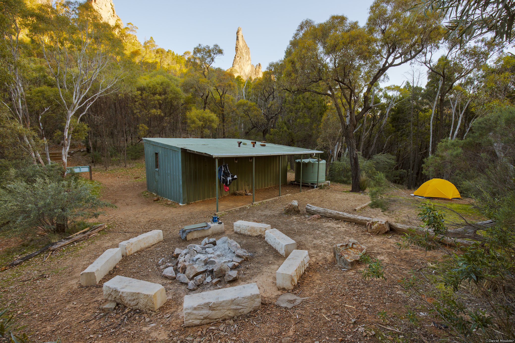
Once you reach Balour Hut, set up your camp. You can circumnavigate The Breadknife via the Grand High Tops lookout in the afternoon.
There are separate booking arrangements for the hut and the campground. The hut is basically a metal shed, and looks quite dingy. I think the campground is a better option, even if the weather's bad since you have access to a reasonably large verandah. There's a combination lock on the hut door.
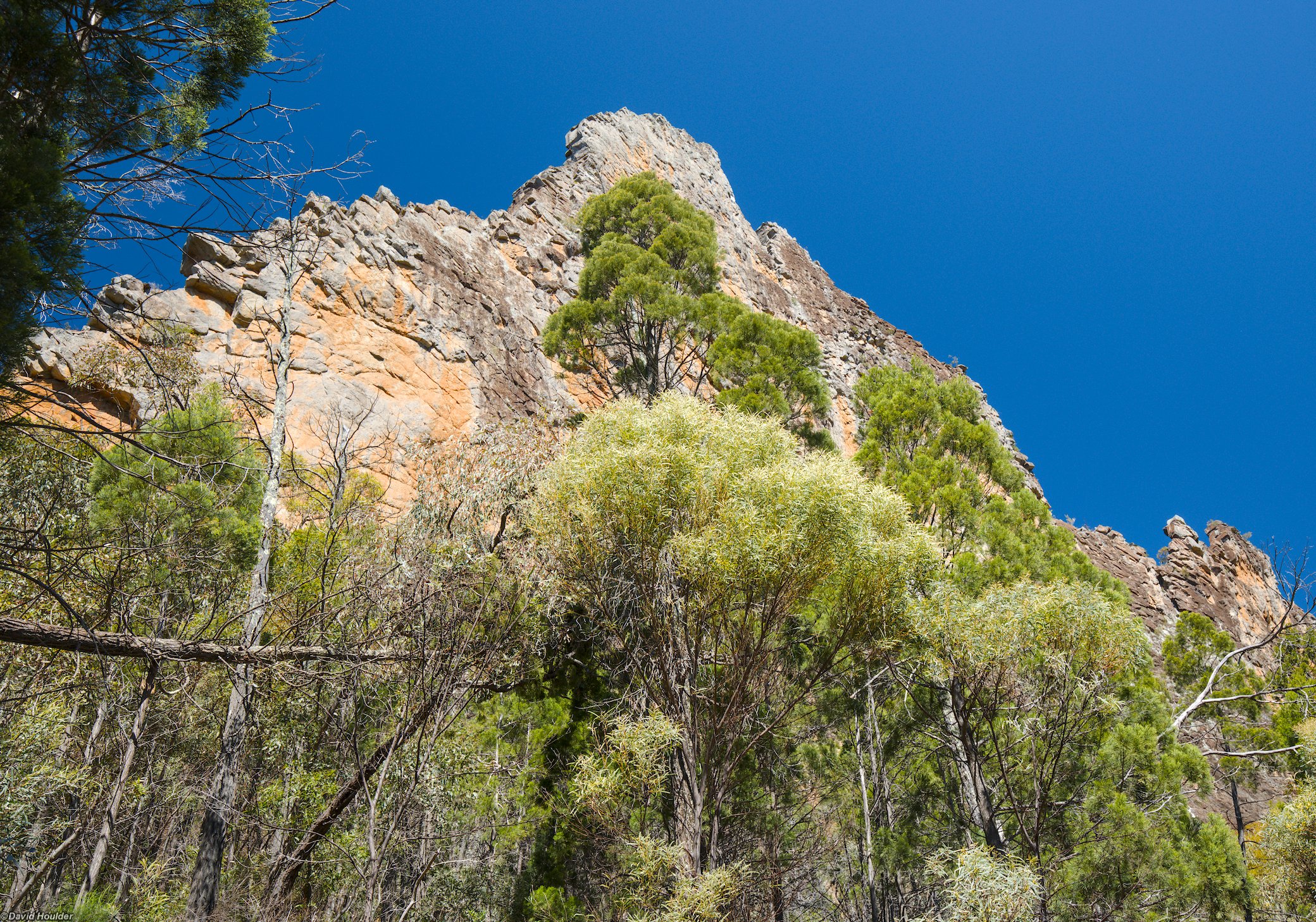
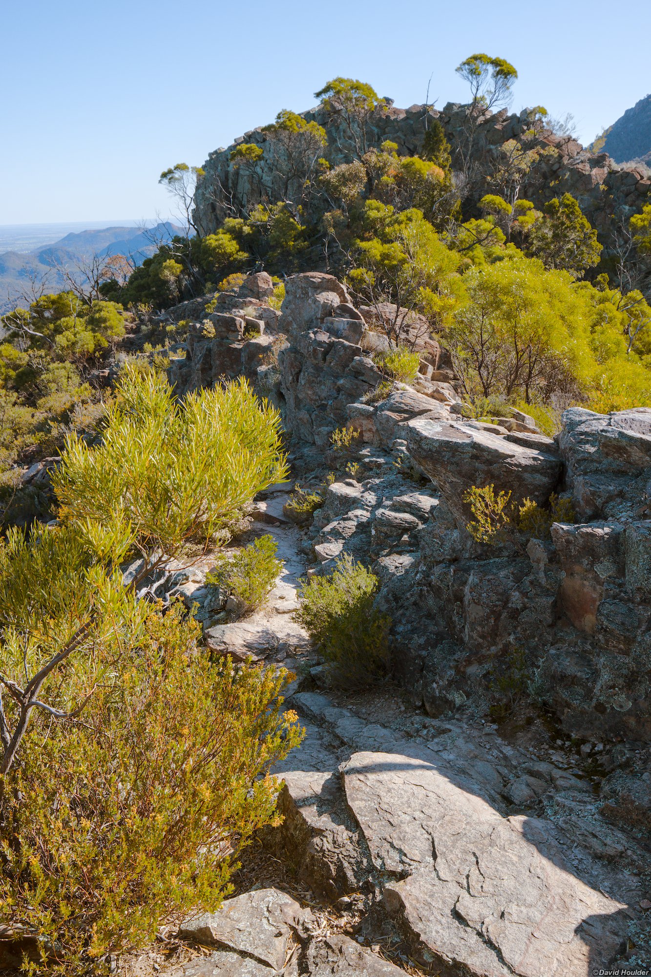
Leave most of your gear at Balour Hut, and continue up beside The Breadknife. This track is not the meticulously constructed artwork that leads up to the Balour Hut turnoff, but it's still very good.
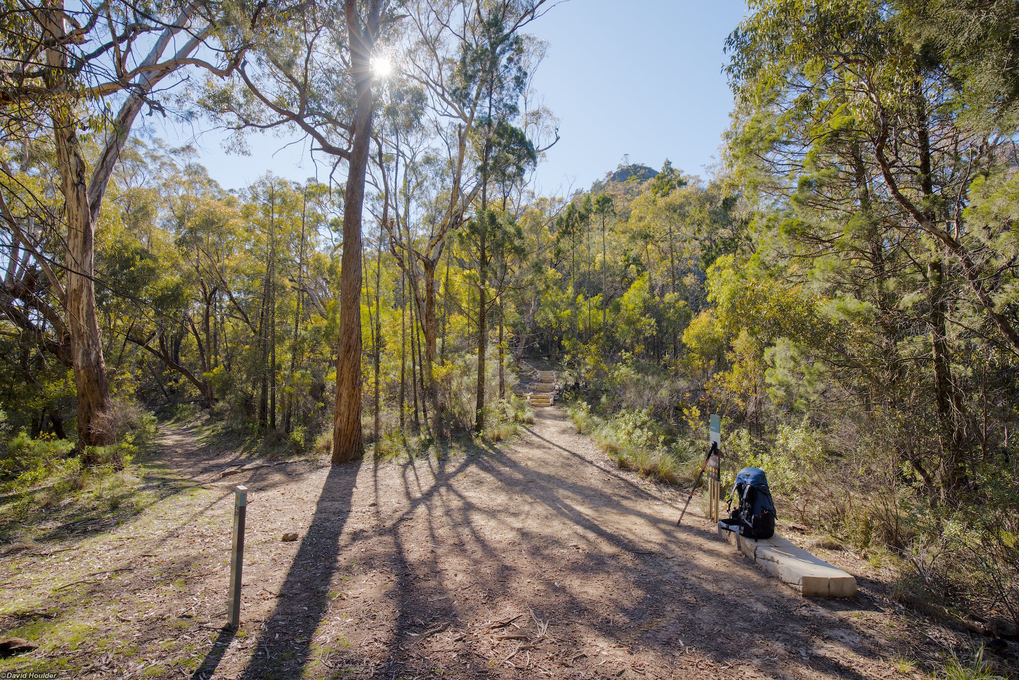
The track on the western side of The Breadknife joins the main track here. Head east here to continue up to the Grand High Tops and around back down the eastern side of The Breadknfe. (This shot was actually taken the following morning)
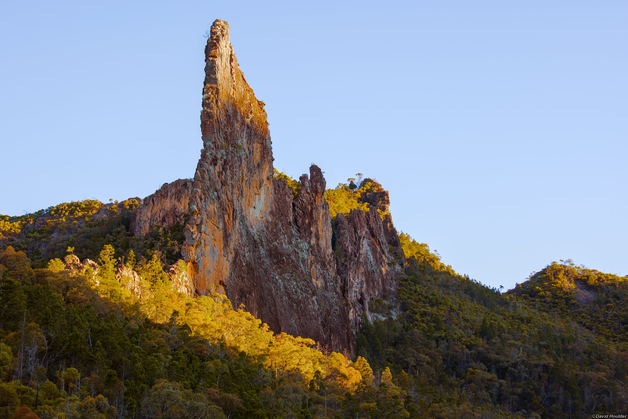
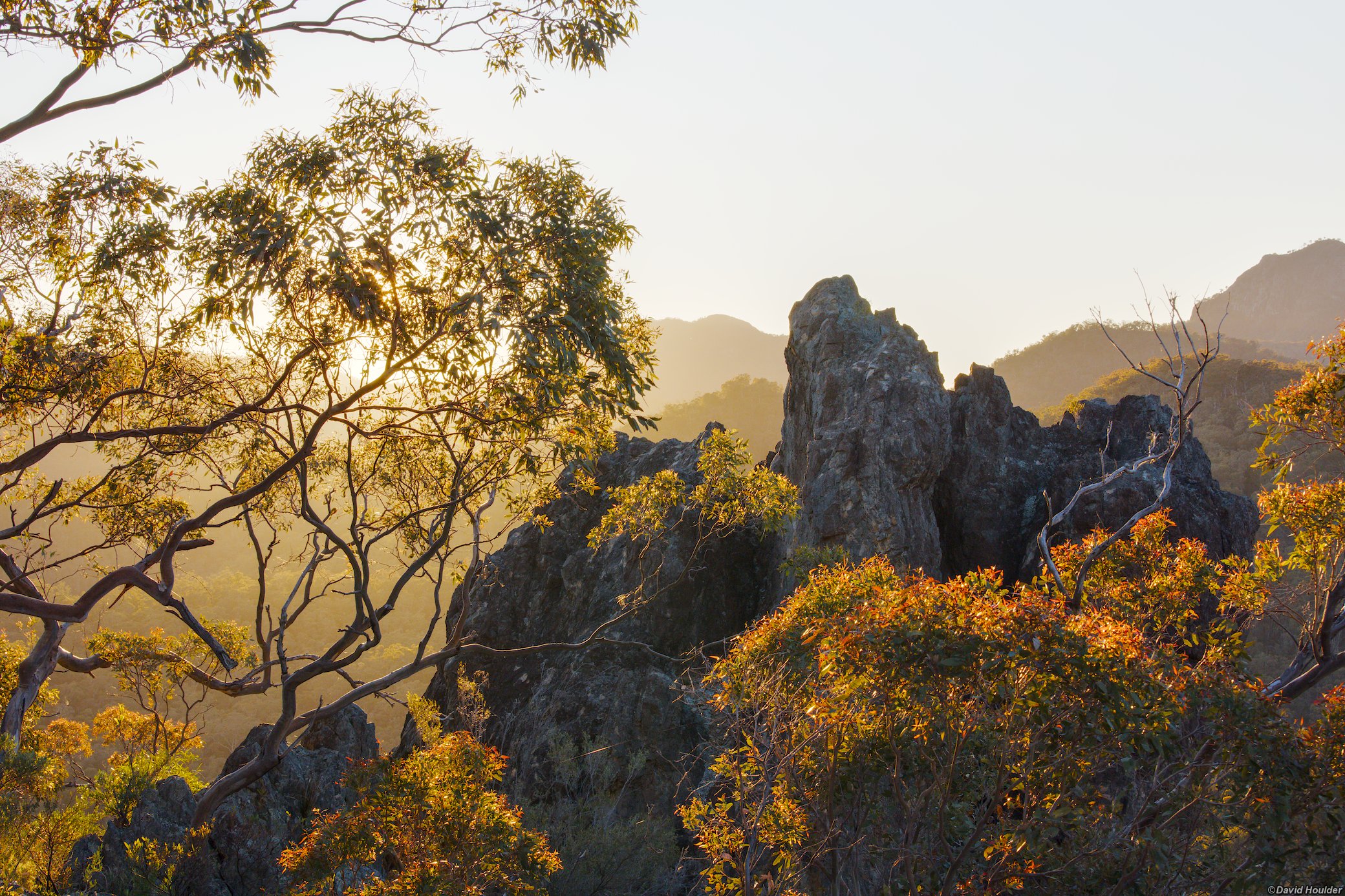
Back at the hut for sunset.
Day two 🔗
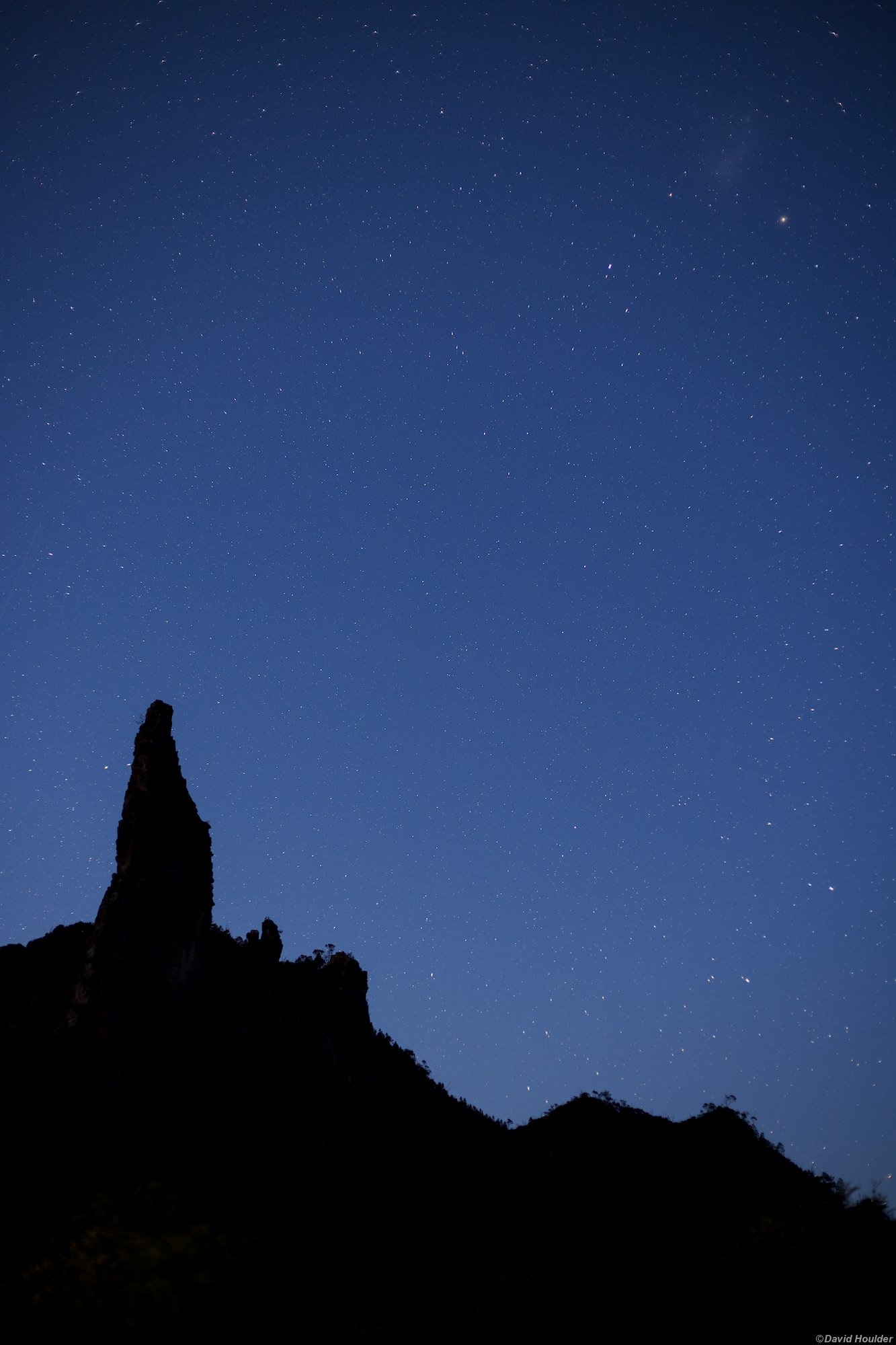
The Warrumbungles is a dark sky park, and there's a major astronomical observatory complex at nearby Siding Springs.
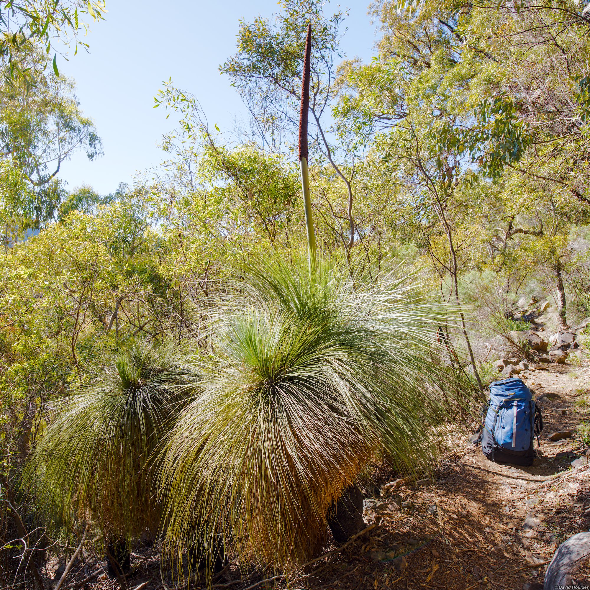
From Balour Hut, head up the western side of The Breadknife again, but this time follow the track west when you meet the main track.
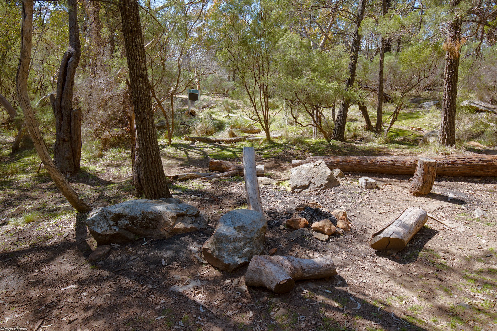
Looks nice, but no running water.
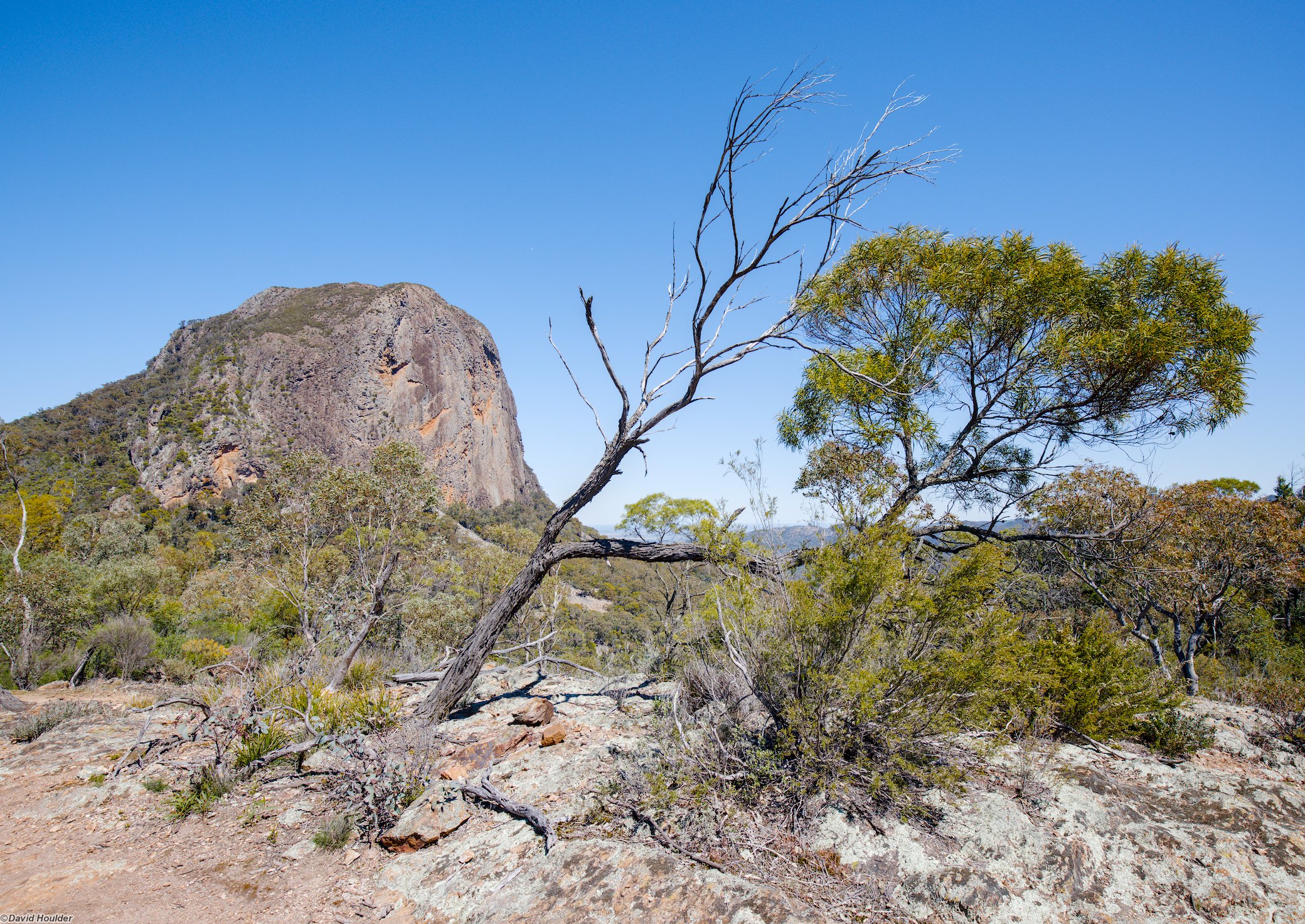
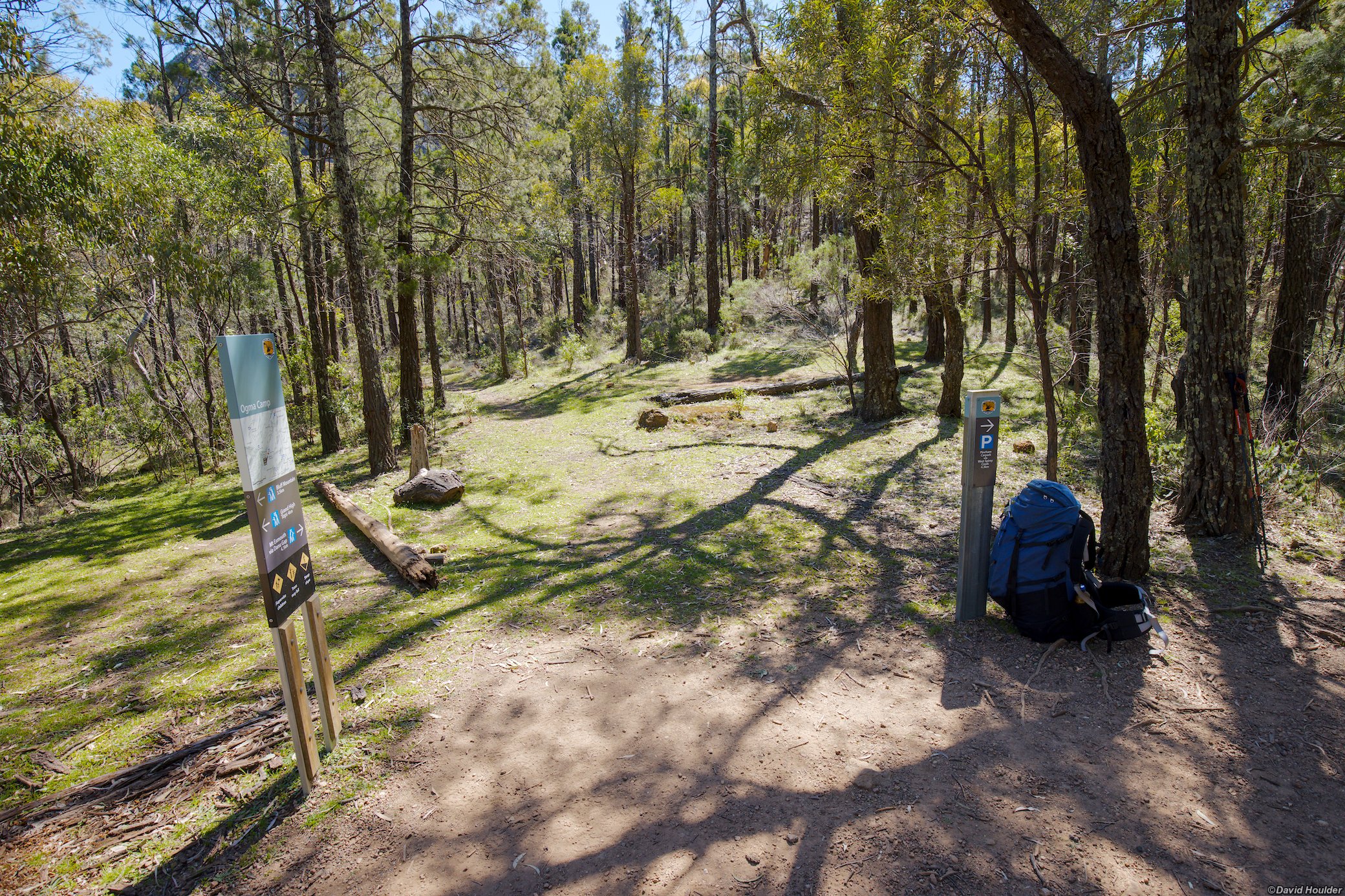
Another great looking campsite, but again, no nearby water supply unfortunately.
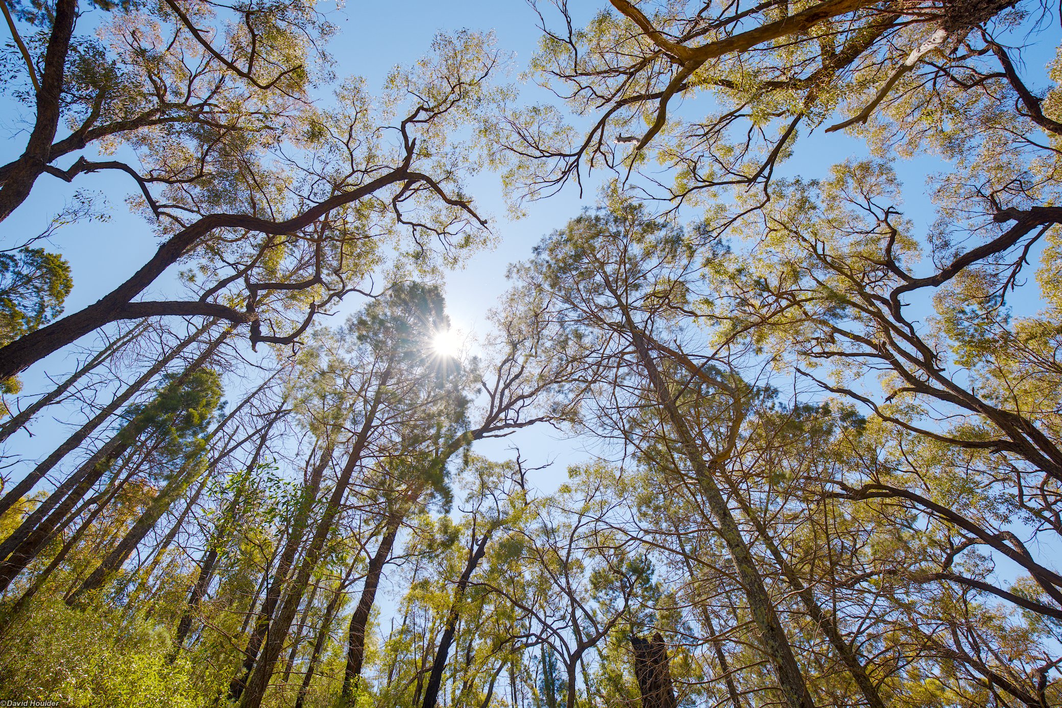
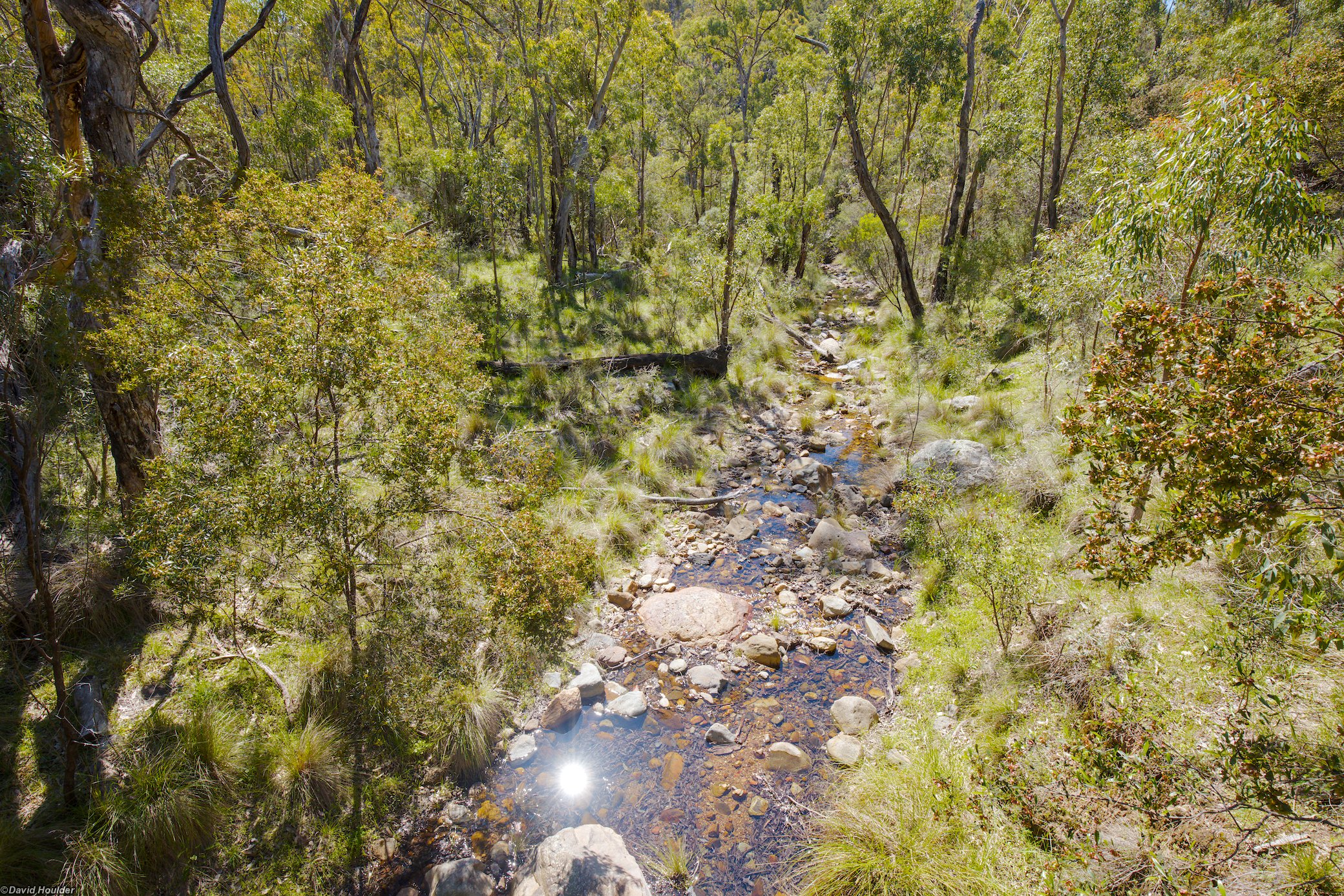
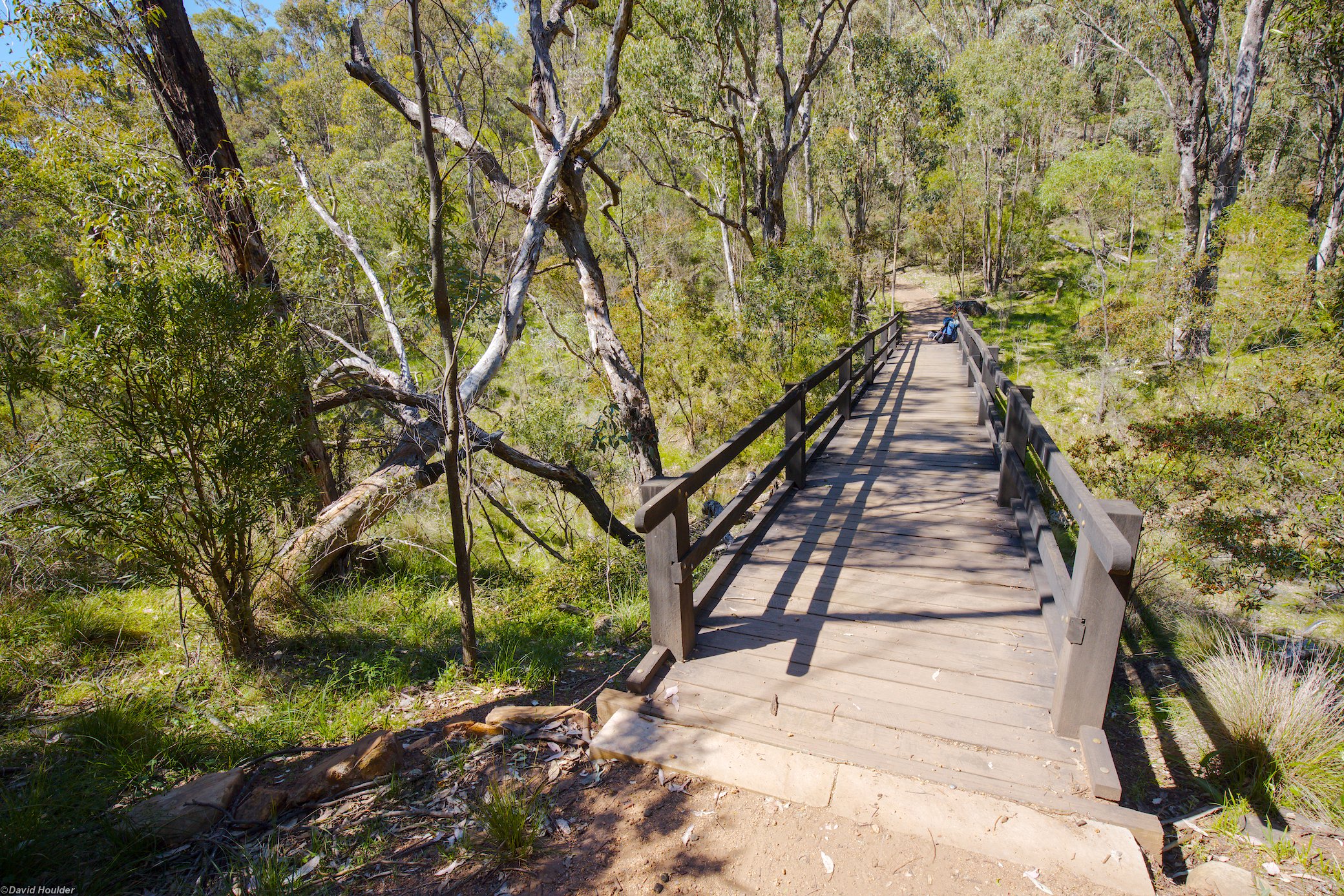
Just before rejoining the main paved track and heading back to the trailhead.