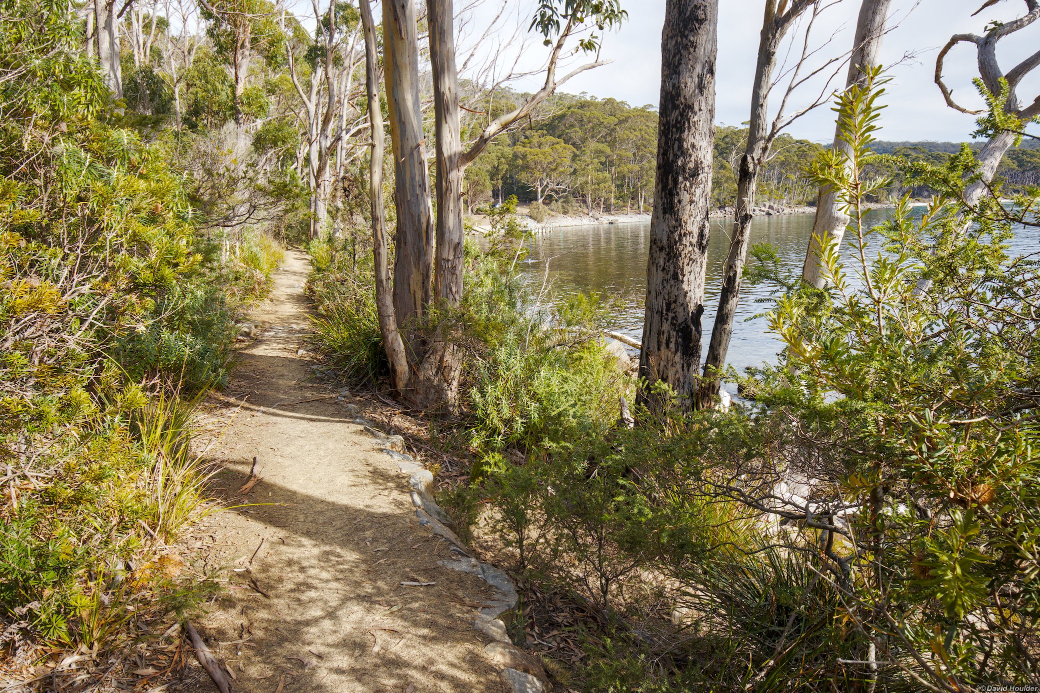
Tasman Peninsula "Free Capes"
The alternative Tasman Peninsula walk 🔗
One of the most well known multi-day walks in Tasmania is the Three Capes Track on the Tasman Peninsula. While it costs several hundred dollars to do the official walk, it includes high quality, well-appointed remote area accommodation, a 75 minute ferry cruise to access the start of the walk and a bus connection at the end. For many people this represents good value, but there's an alternative low-cost option.
Described as the "Free Capes Walk" by Ross from the Hobart Walking Club, this follows much of the official Three Capes Track, but replaces the initial section from Denmans Cove to Arthurs Peak (in red on the map above) with an alternative route, and involves camping for two nights at the Bare Knoll campsite. A Tasmanian parks pass is required, so strictly speaking it's cheap rather than free.
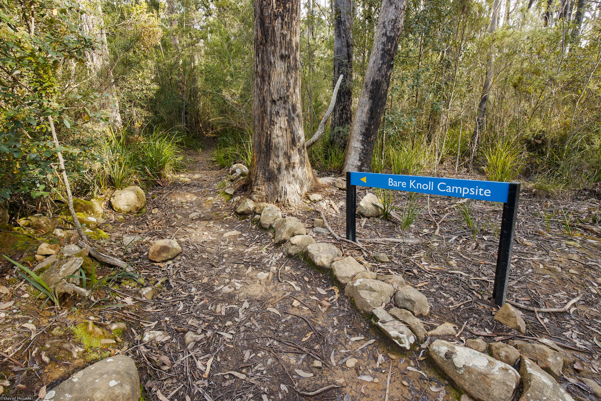
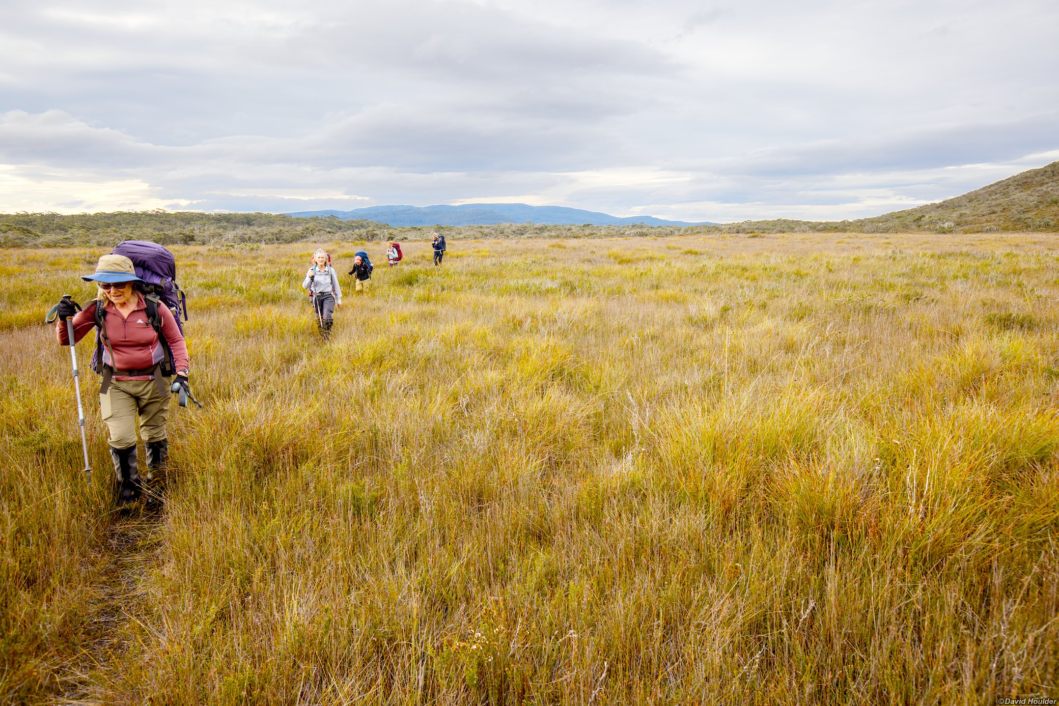
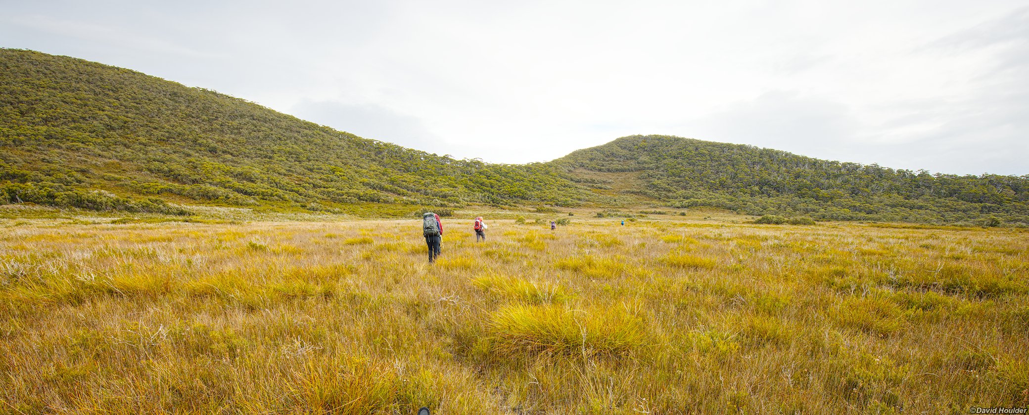
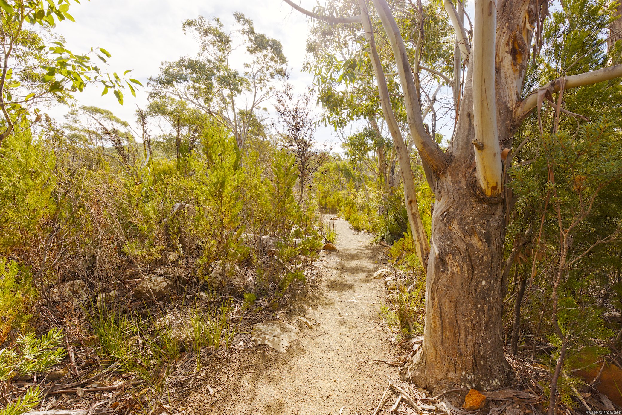
The walk starts and ends at Fortescue Bay. Day one starts on the official Bare Knoll access track, then branches off to the right a few hundred metres past the summit of Snake Hill at -43.16777°, 147.93715° according to the GPX file I have. The track is not marked on any official maps as far as I know, and heads off through fairly open bushland, across a buttongrass plain, then up to a ridge to meet the Three Capes track to Arthurs Peak. At the time of writing the track is mostly easy to follow, but short sections near the buttongrass may be indistinct. I advise wearing gaiters for this section, for leech protection if nothing else. If you miss the turnoff you can always continue on the Bare Knoll track (orange track on the map above) and access Arthurs Peak from the west. After visiting Arthurs Peak, follow the Three Capes Track east to Bare Knoll.
Day two is a day walk to Cape Pillar and back.
Day three follows the Three Capes Track over Mount Fortescue back to Fortescue Bay, with an optional side trip to Cape Hauy.
Thanks to Ross and the Hobart Walking Club for organising this walk.
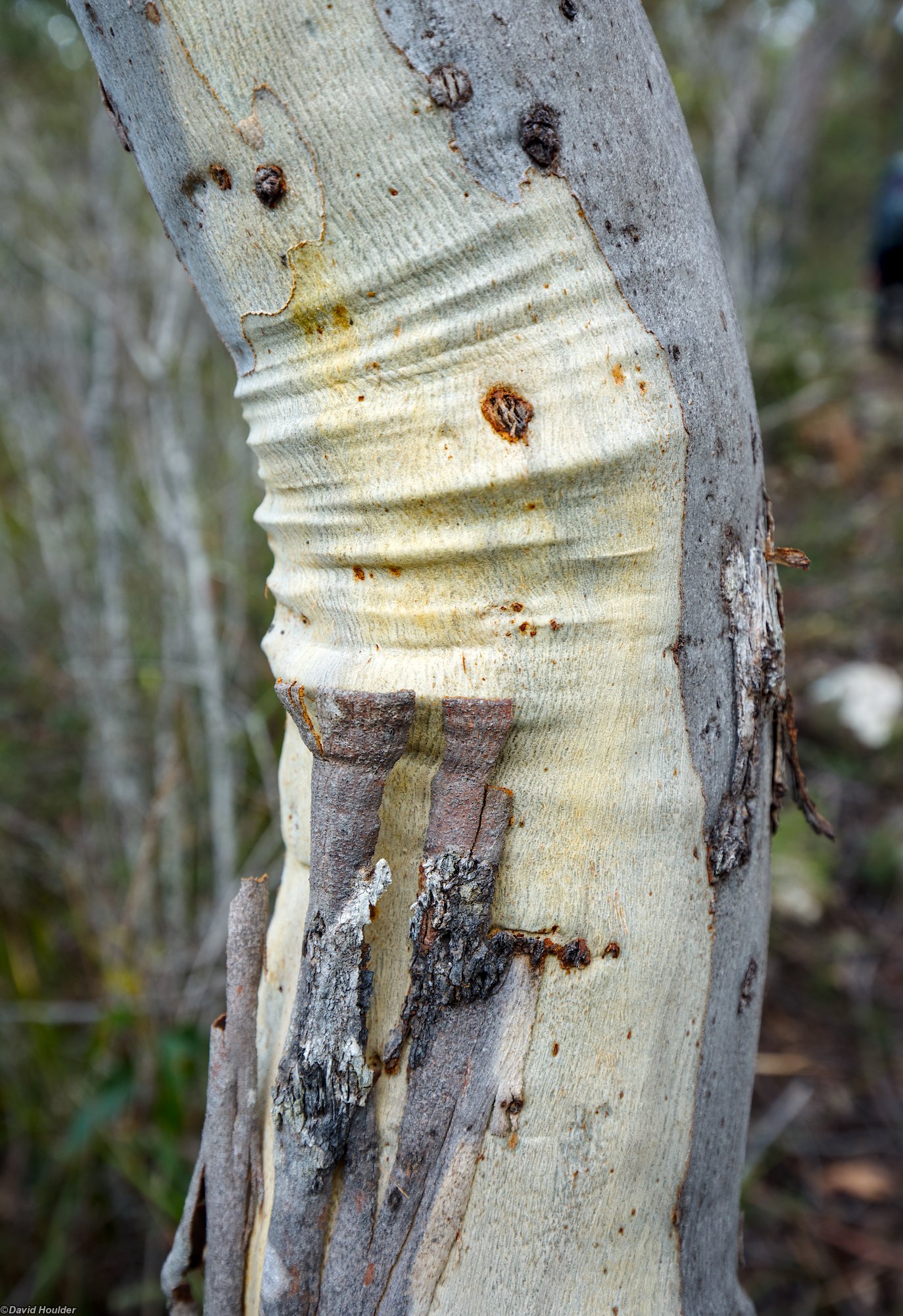
The trunk of a small eucalypt on the track near the turnoff.
There's a turnoiff on the main Bare Knoll track that provides more direct access to Arthurs Peak. See the map above.
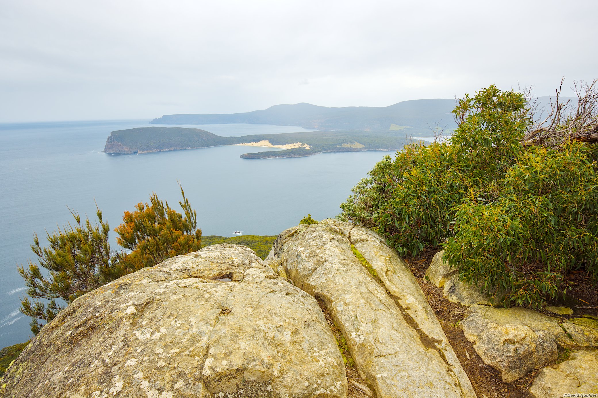
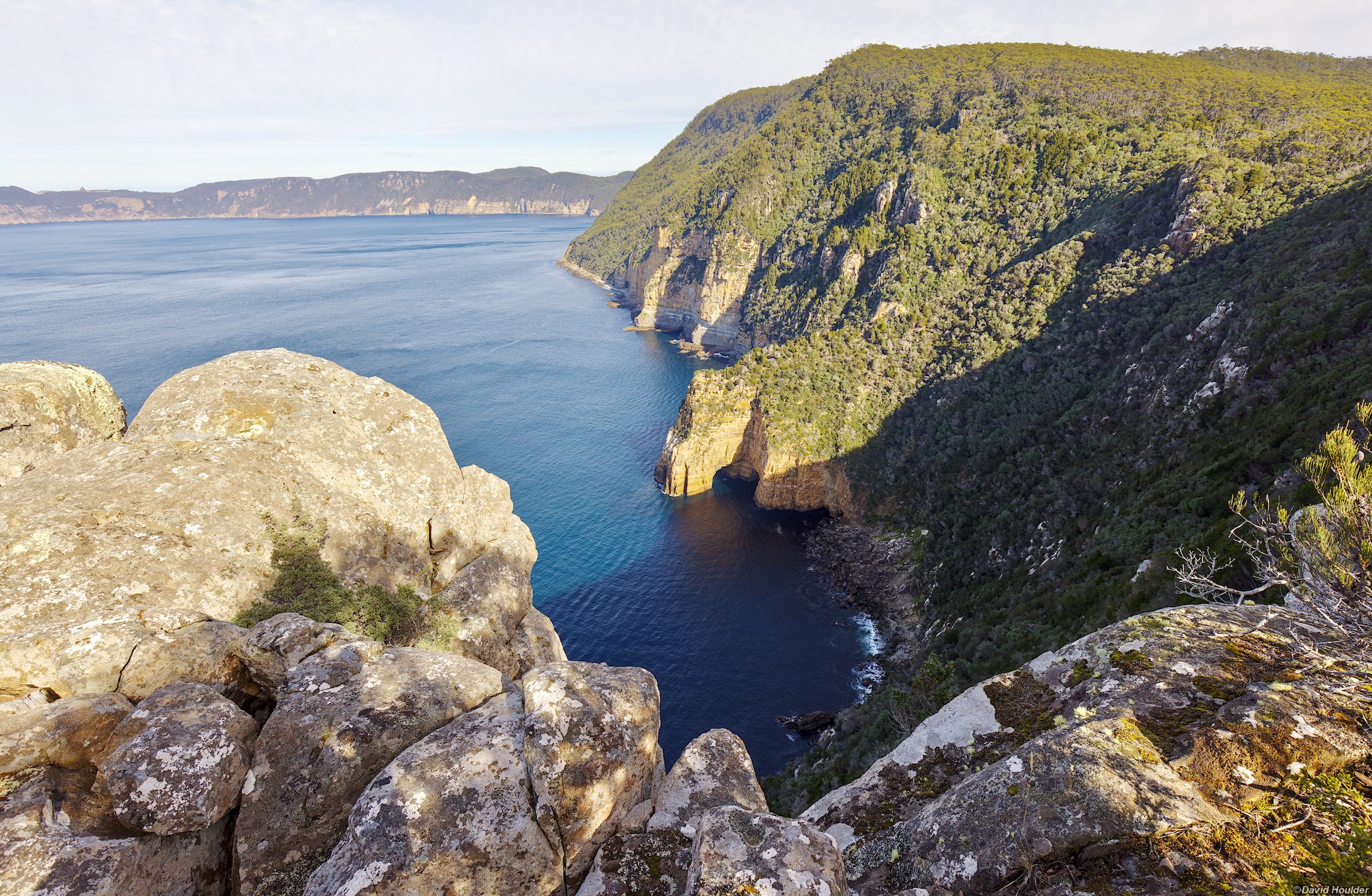
Looking west towards West Arthur Head and Crescent Bay, with Cpe Raoul in the distance. Port Arthur is off to the right.
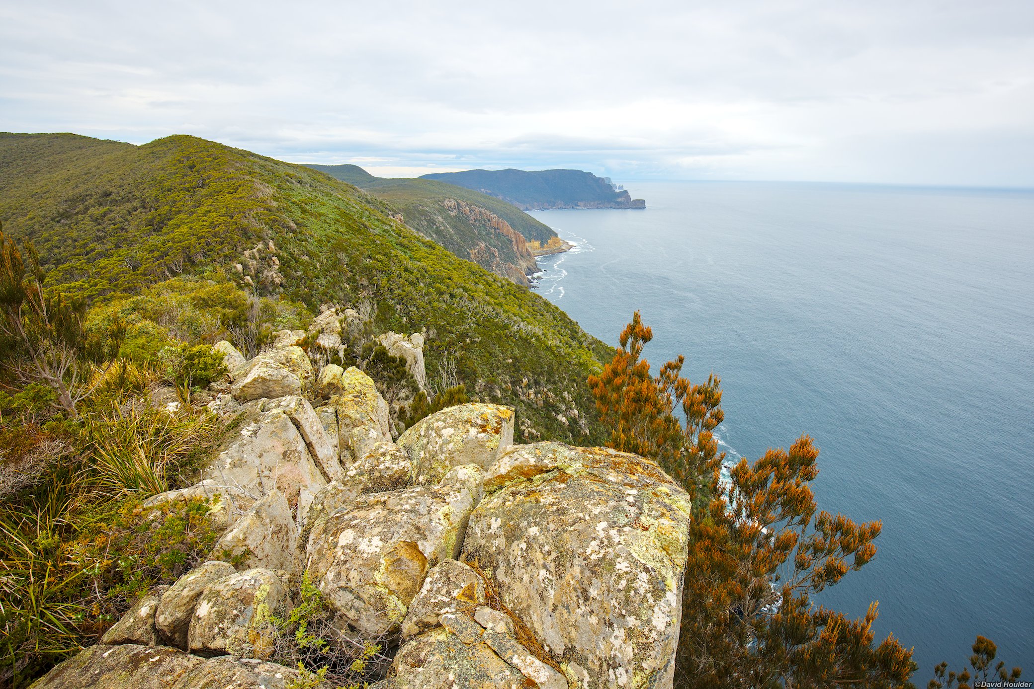
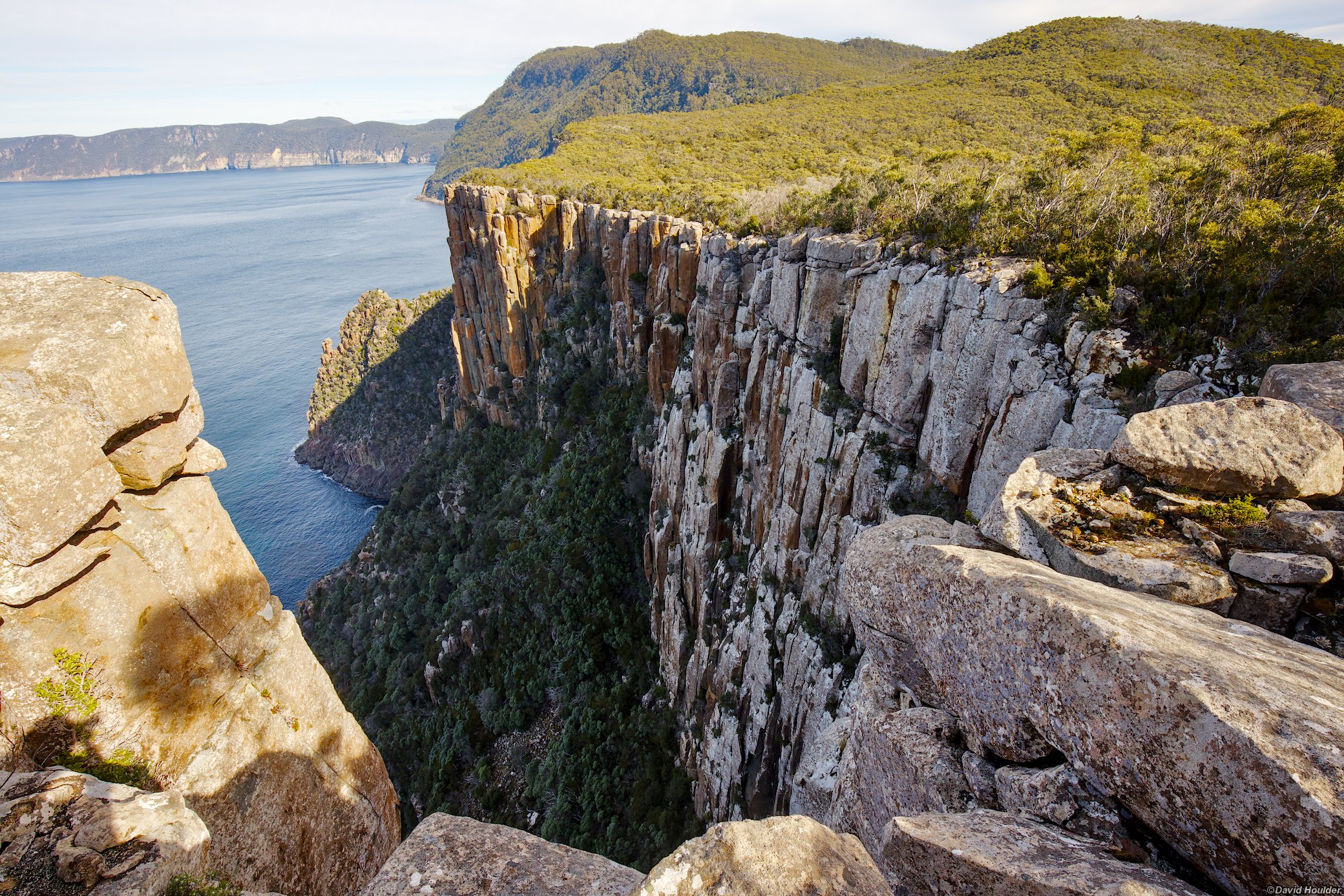
Looking towards Cape Pillar.
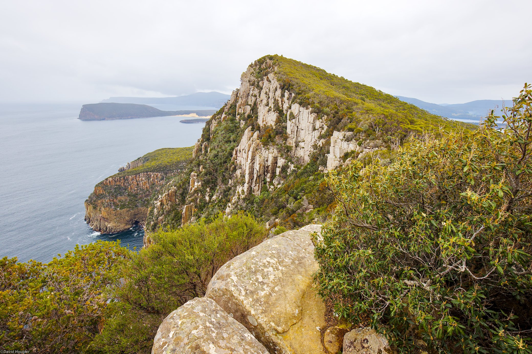
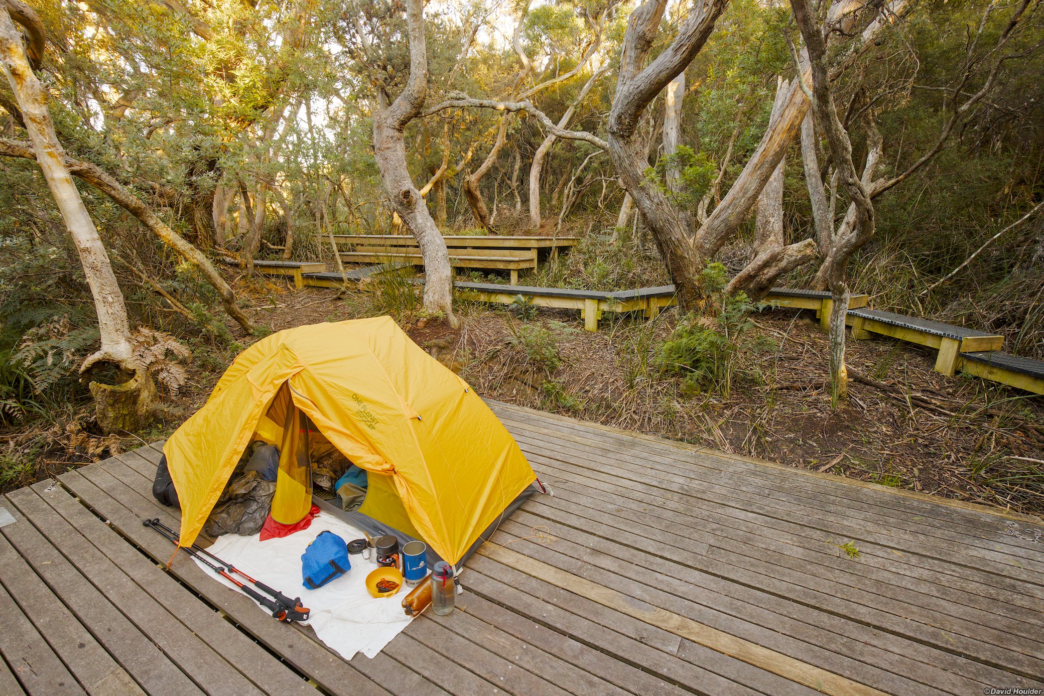
There are 8 platforms like this, a toilet and a rainwater tank.
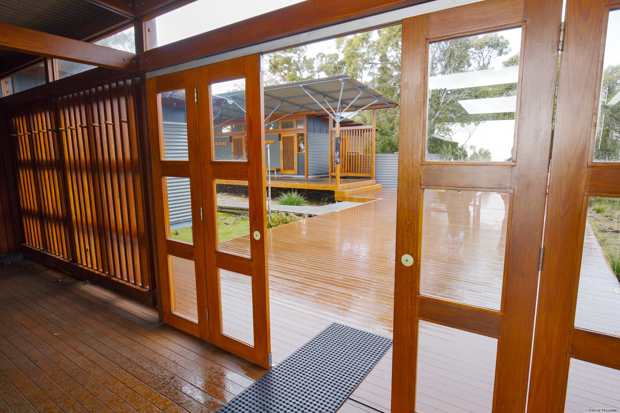
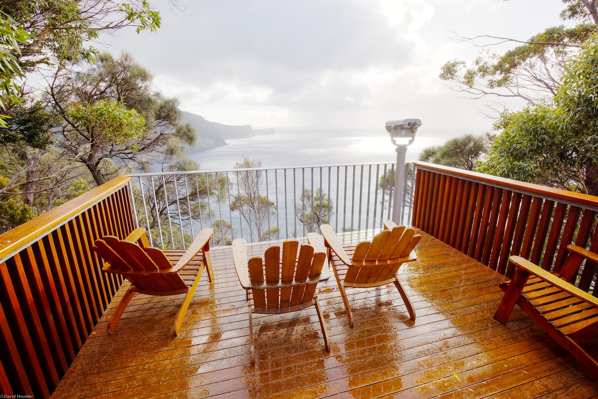
Looking out from the deck at Munro Hut on a pretty wet and windy day.
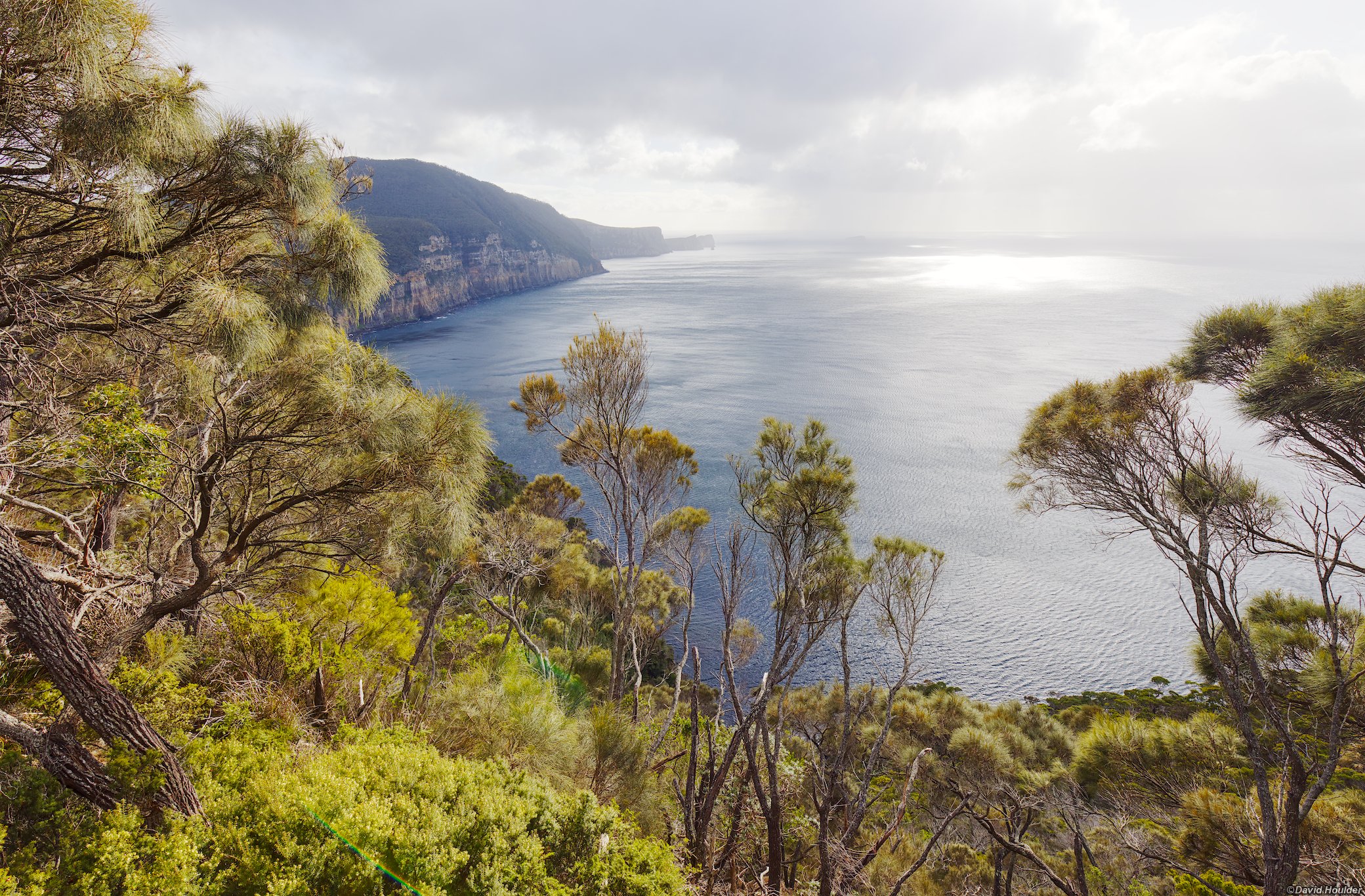
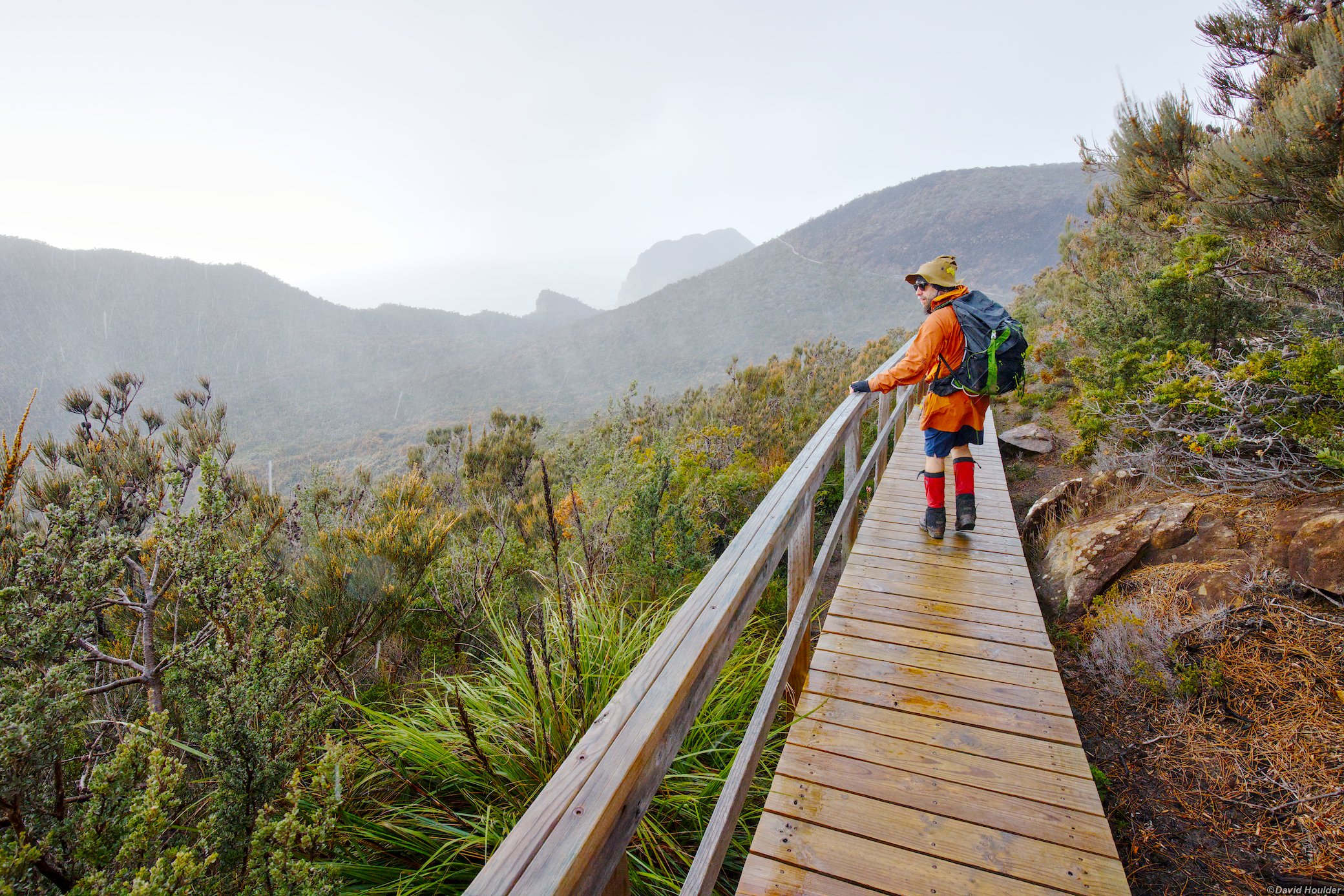
We had pretty miserable weather on the day trip to Cape Pillar. Most of us turned back after being unable to stay upright on the track due to the wind on one particularly exposed section.
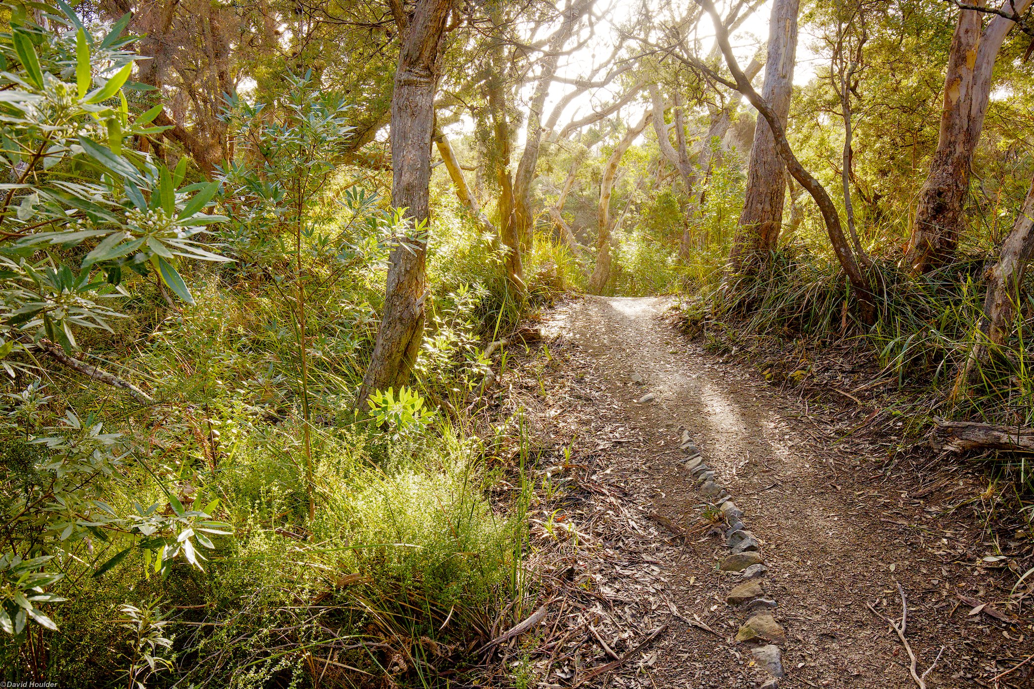
Returning to Bare Knoll later in the day with much better weather.
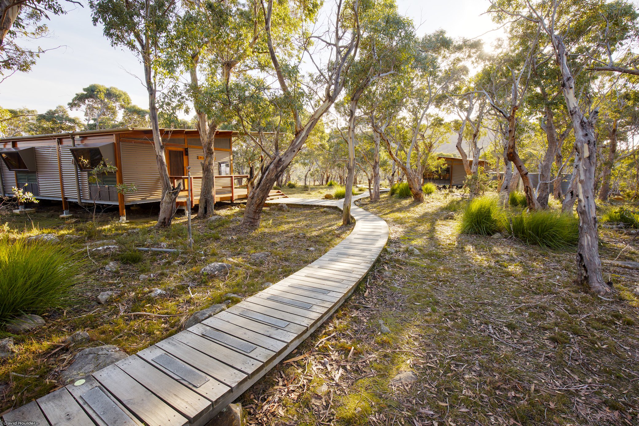
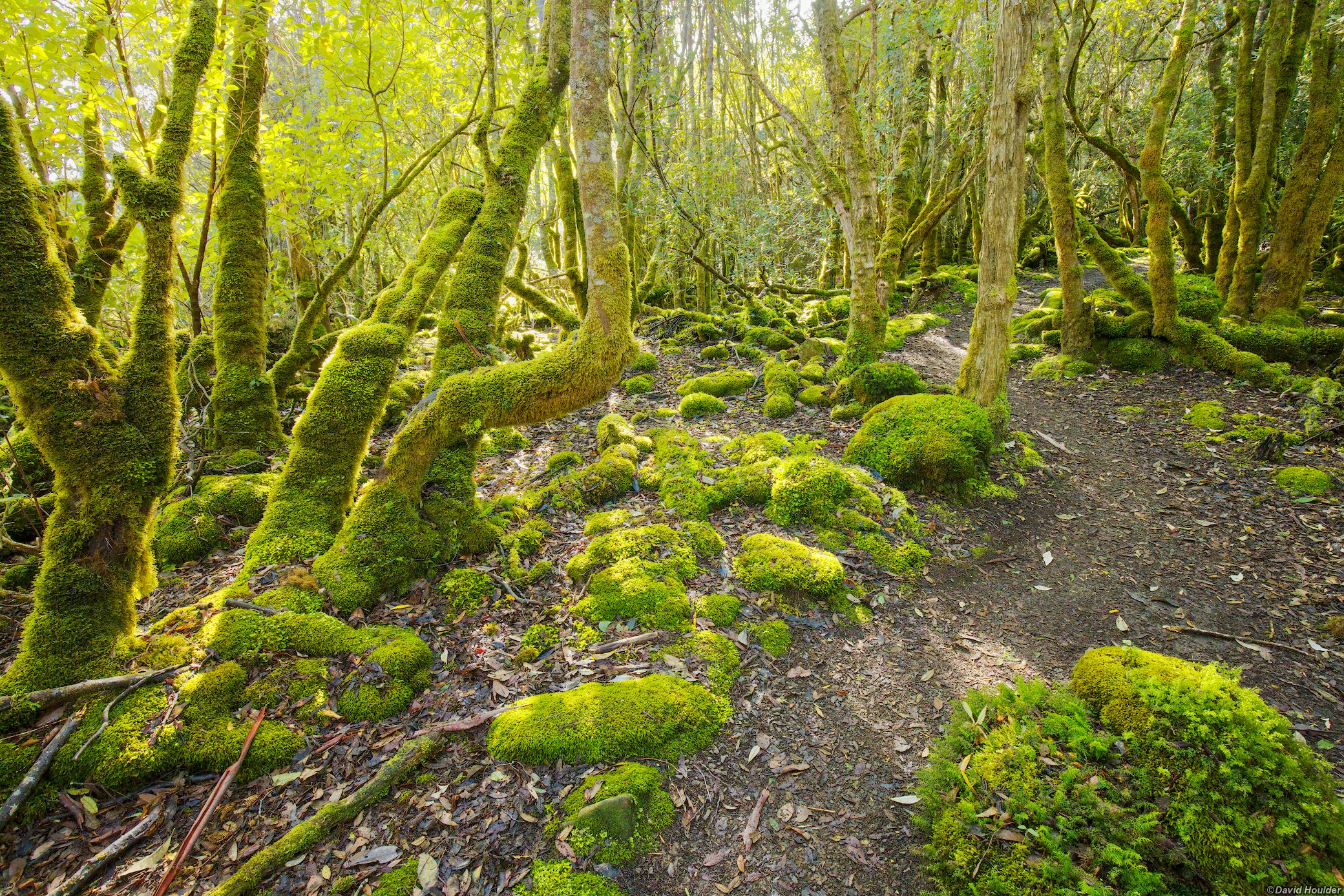
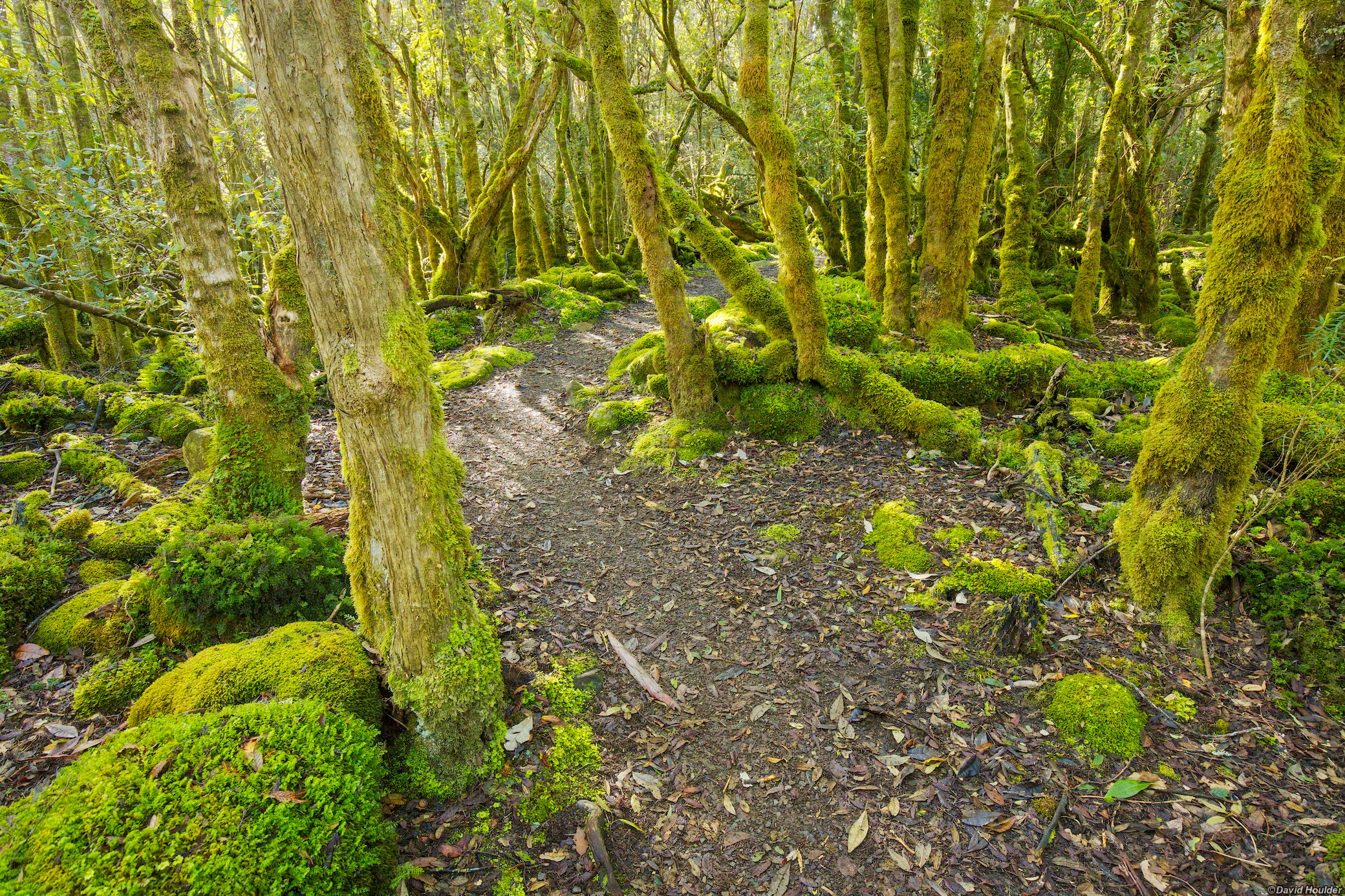
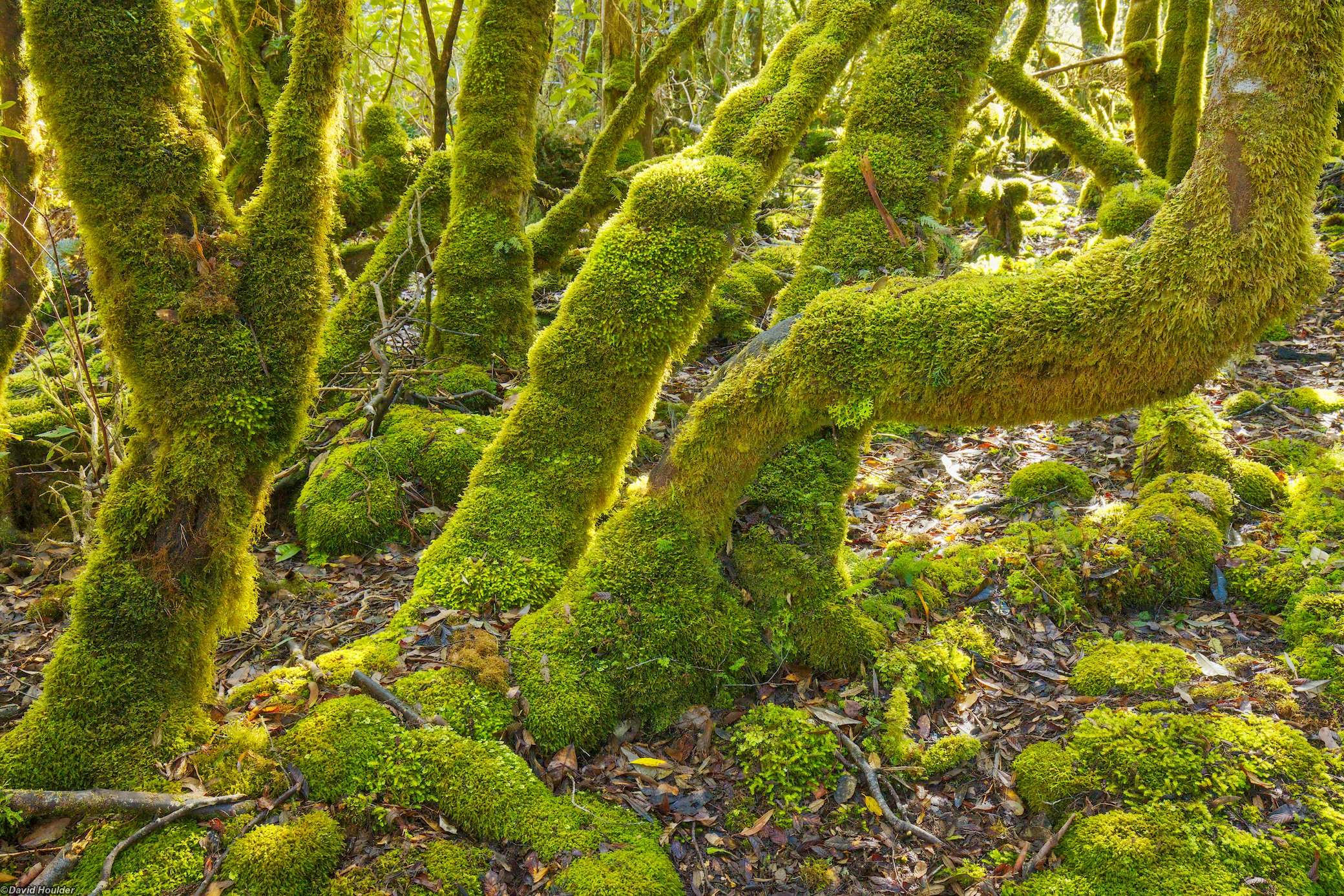
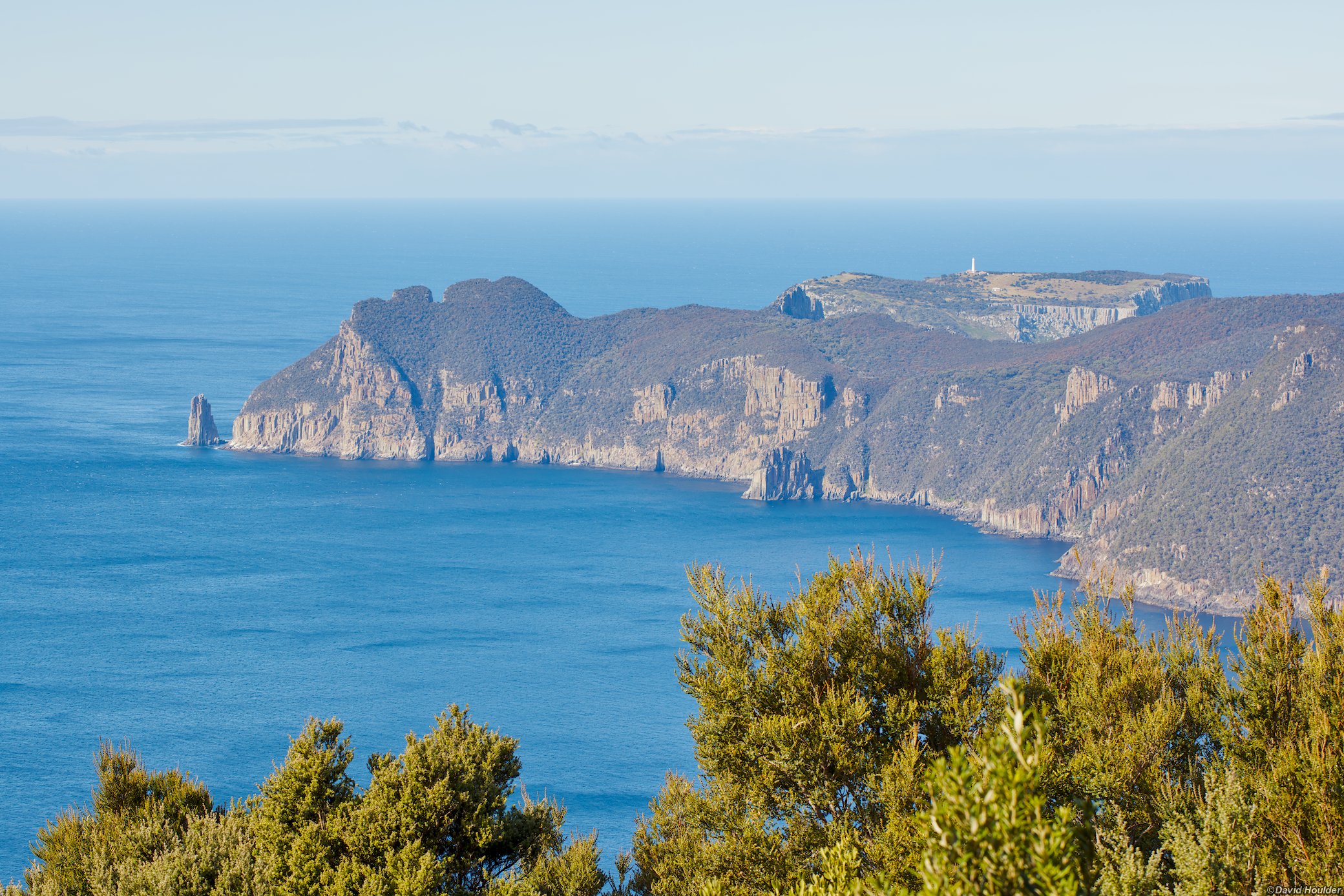
From the track after Mt Fortescue. The lighthouse is on Tasman Island.
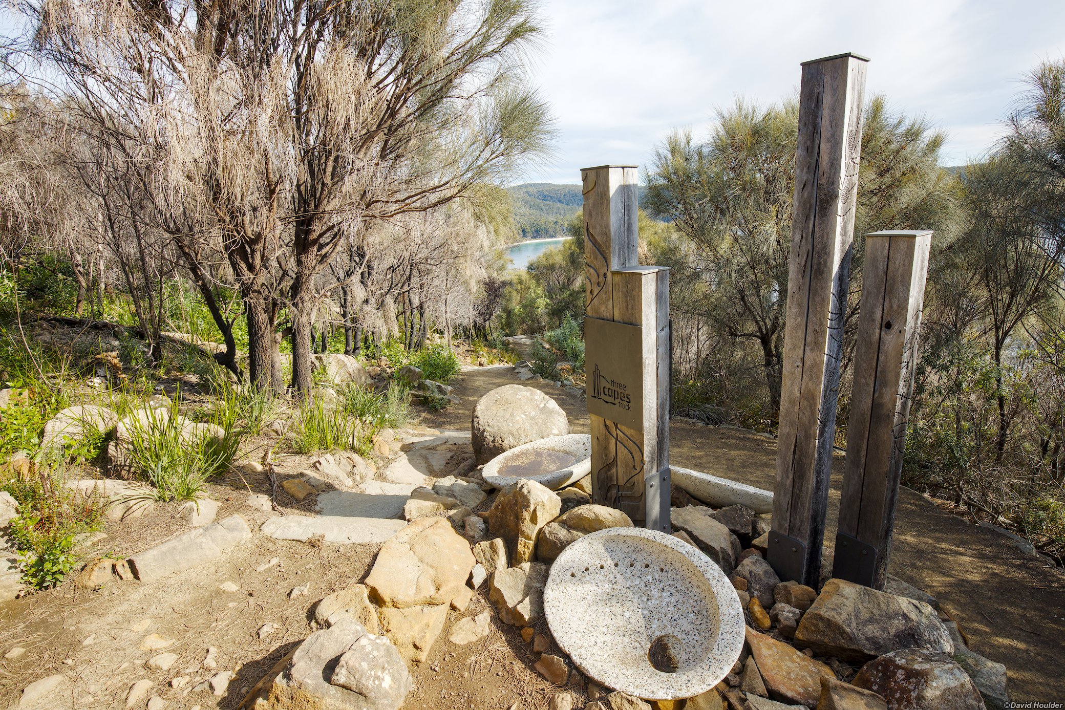
There are quite a few bits of artwork along the way. Some are embedded in the track itself, others are sculptures like this.