Published: Aug 2025

Ormiston Gorge to Bowmans Gap

Note: indicated routes and locations are approximate. Use official topographic maps for navigation.

This is an overnight walk from Ormiston Gorge in Tjoritja / West MacDonnell National Park in the Northern Territory. Part of the route is on the Pound Walk from Ormiston Gorge, and the remainder is along Ormiston Creek.

The official Ormiston Gorge overnight walks guide suggests that you leave the Pound Walk at the first creek crossing after exiting the gorge itself, but I decided to just follow the track until the final creek crossing. Walking in and along the creek is noticeably slower than following the track as there's quite a bit of boulder-hopping and sand to walk through, so leaving the track earlier may actually be e good idea.

The campsites at Bowmans Gap are situated on the northern side of the gap. Note that you need an NT parks pass, and the Bowmans Gap campsites are on the NT parks campsite booking site, so you don't need a remote camping permit. There are no facilities at Bowmans Gap, but there are plenty of sandy campsites.

Depending on recent rainfall, you may be able to get water at several waterholes along the way and at Bowmans Gap itself. I recommend starting the walk with enough water for a complete return trip in case there's no acceptable water available along the way. It's unlikely that you will find flowing water — it will almost certainly be in waterholes filled from recent rainfall events, so treat it appropriately.
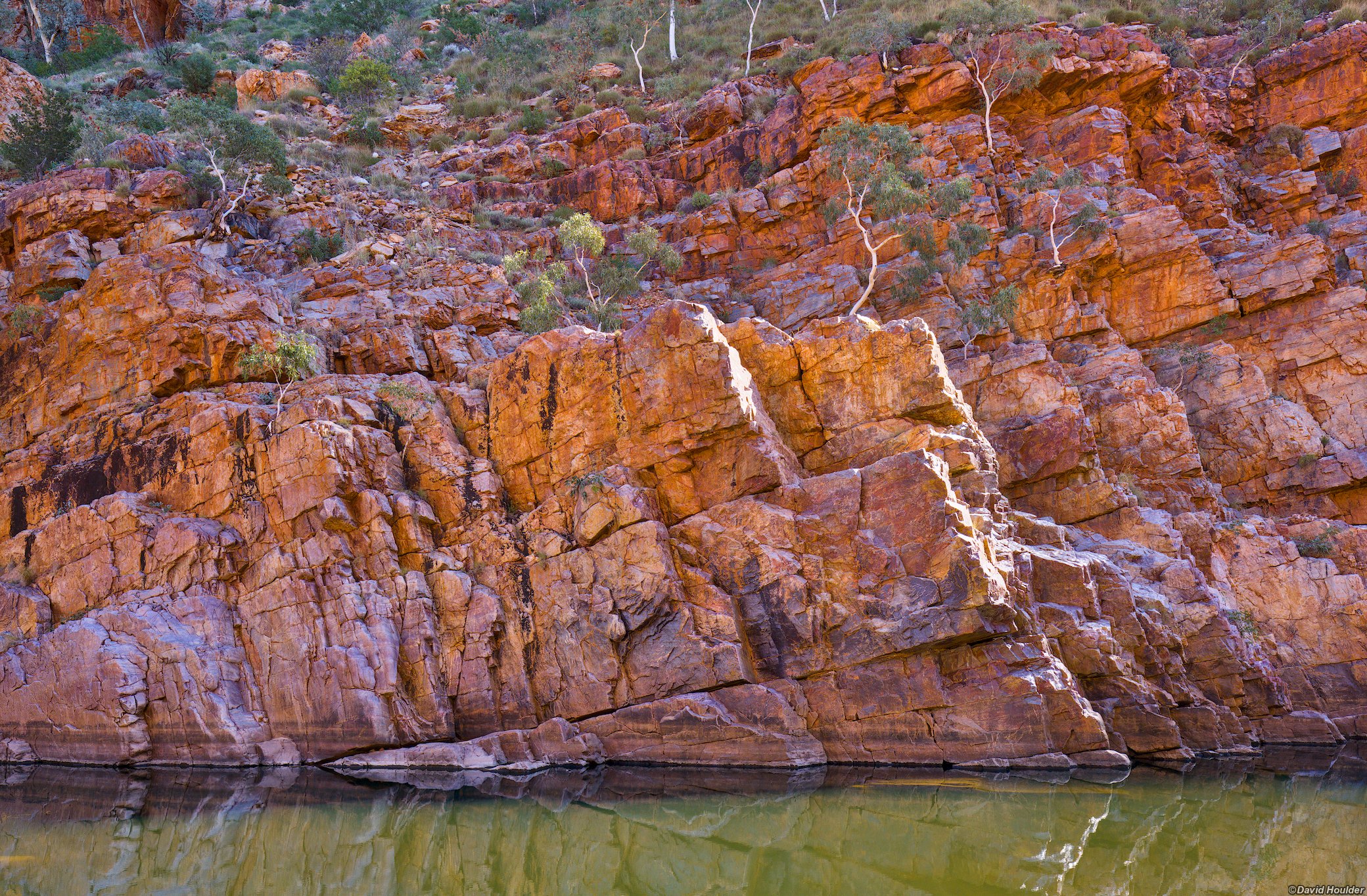
A gorge wall with small trees growing out of it and a pool of water at the bottom.

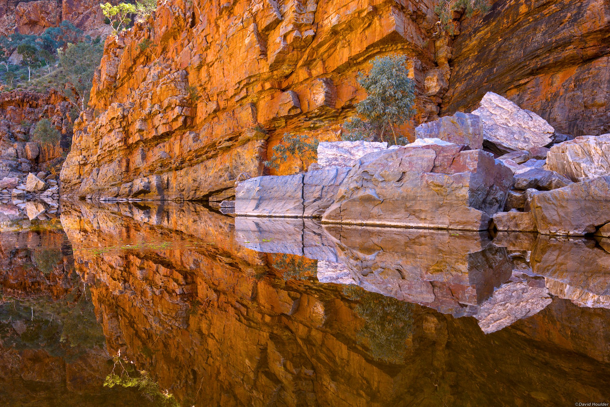
Central Australia had some rainfall in the preceding few months, and Ormiston Gorge had quite a bit of water in it. There were a few crossings through knee-deep water on the track in the gorge.

Large rectangular boulders emerging from a pool of water in a steep sided gorge
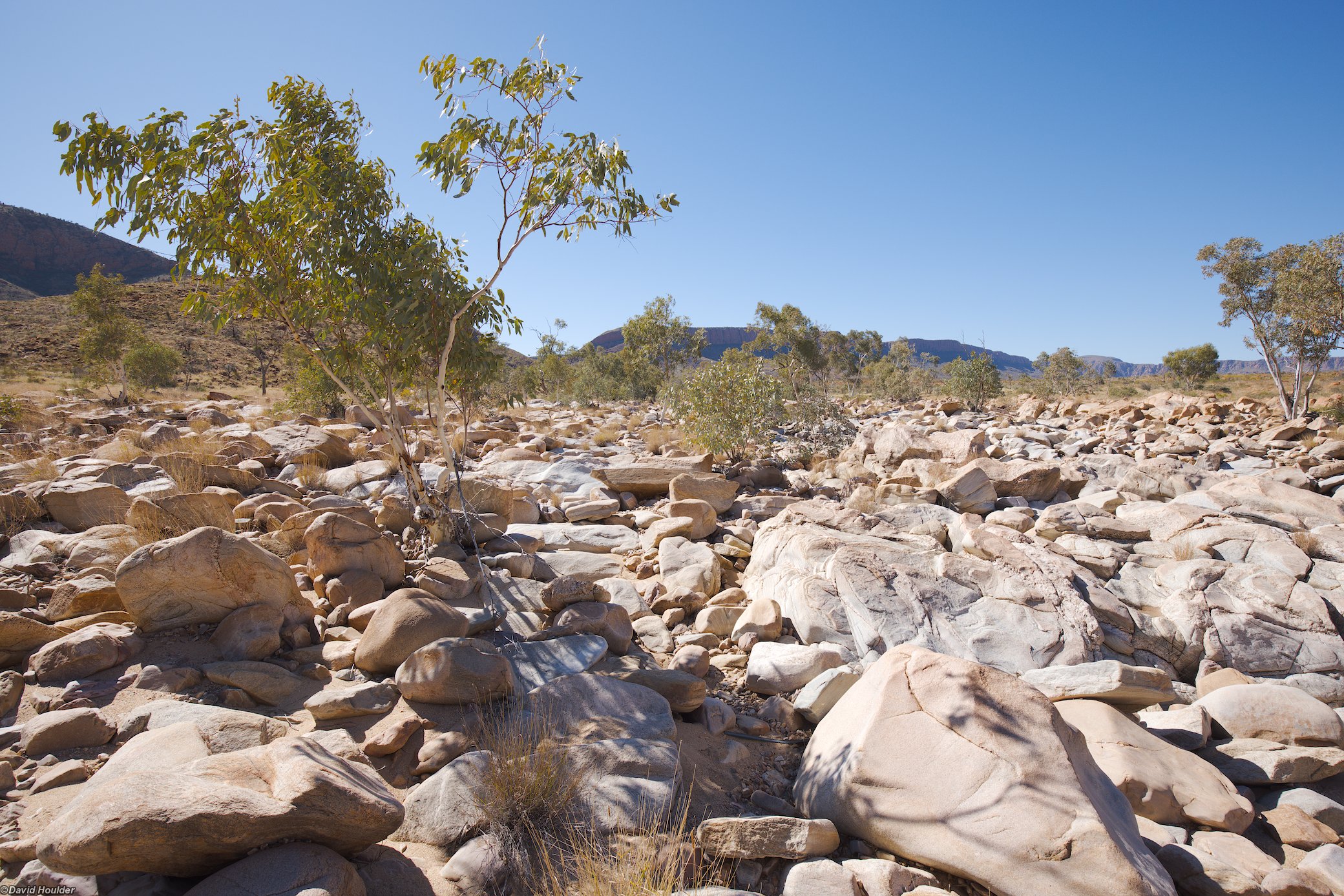
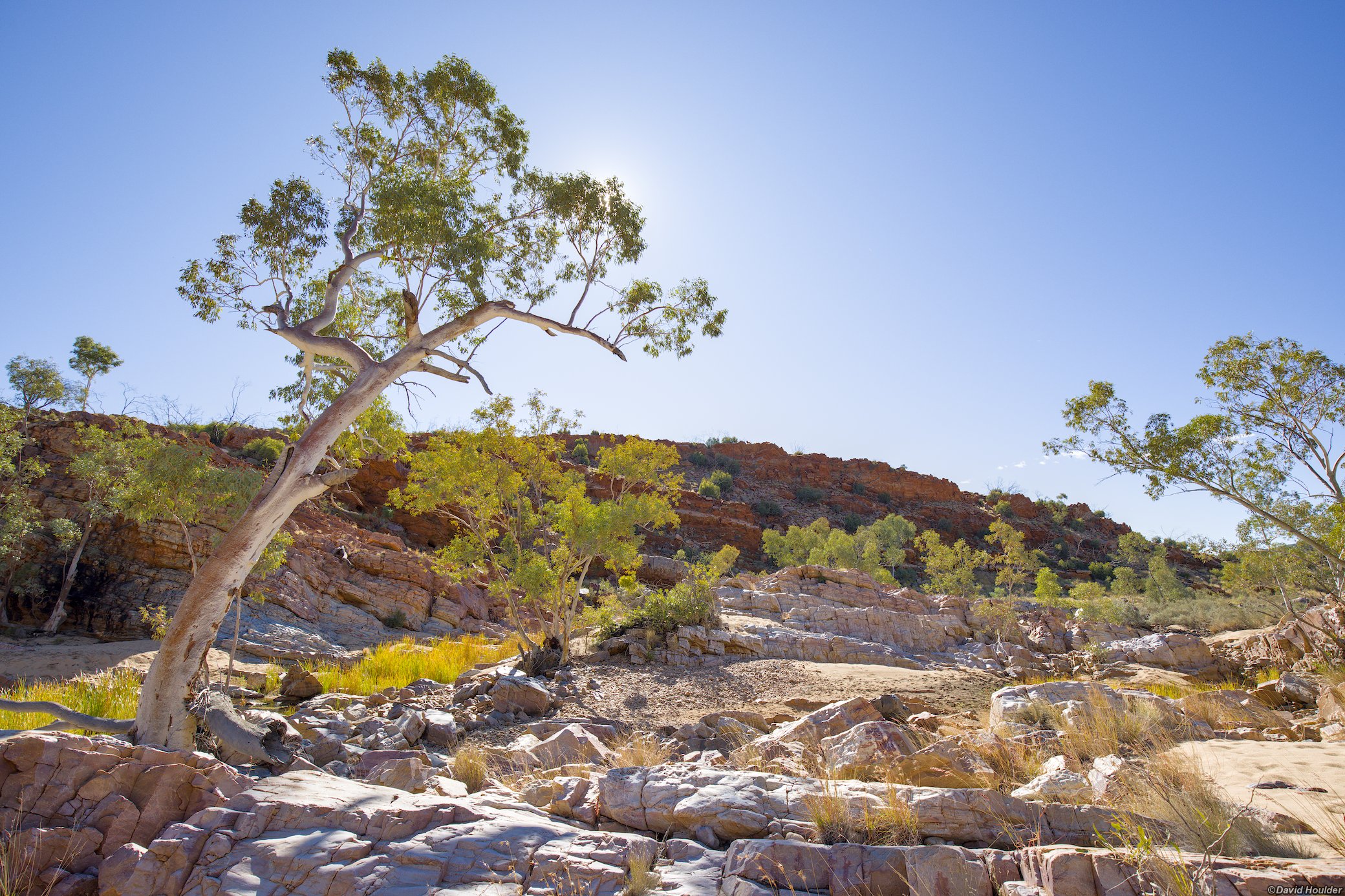
A boulder field in a dry creekbed with small tress

A fair bit of boulder-hopping is required in the creekbed.

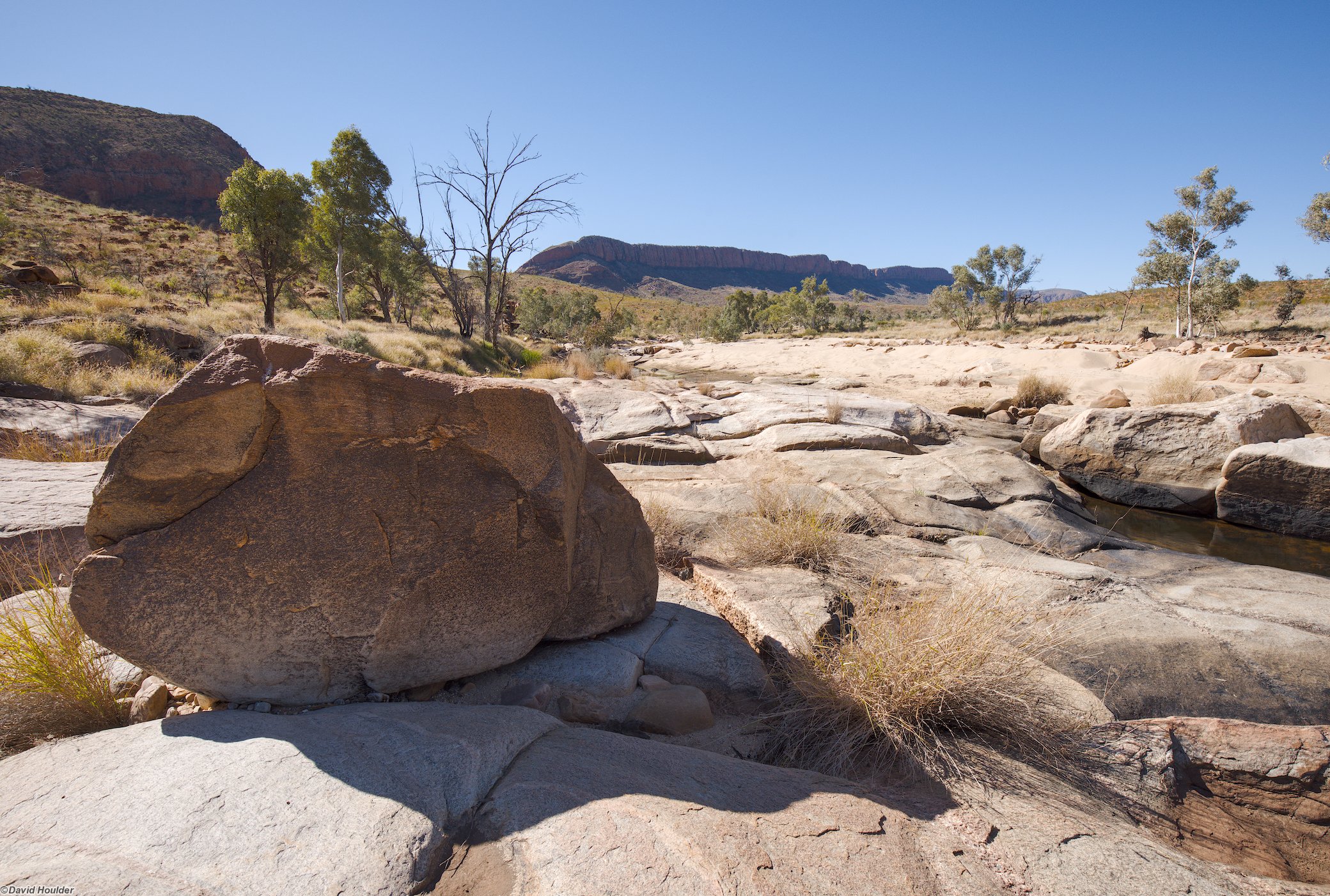
A boulder sitting on a rocky platform in a a dry creekbed
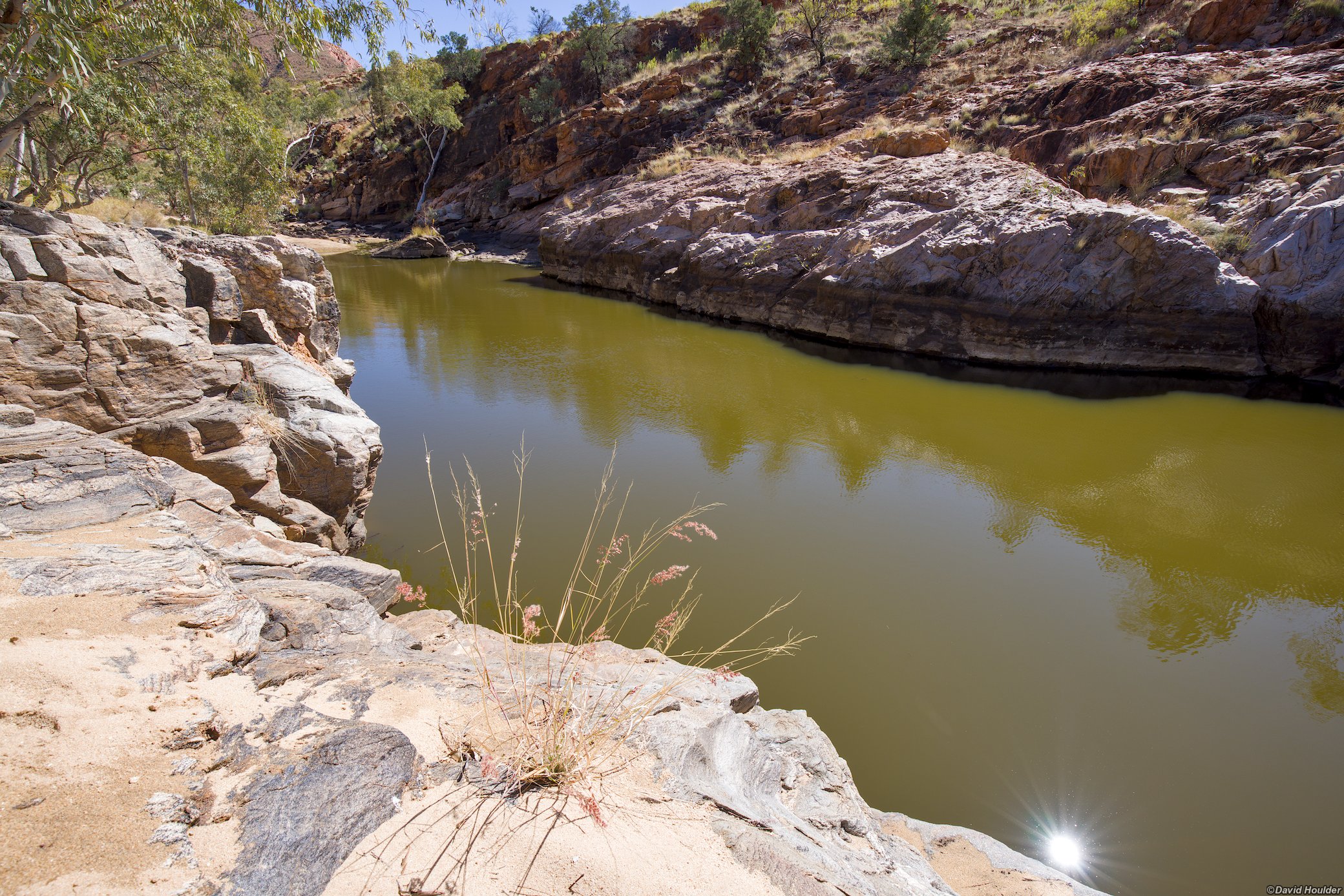
A large elongated pool of water with rocky banks and a grass tussock in the foreground

This is probably the largest waterhole on the way to Bowmans Gap (marked on the map above with a fish icon at -23.61463, 132.75956). If this is dry there probably won't be water at Bowmans Gap.

As a very rough guide to the water levels you can expect, when I did this walk in late July 2025, Alice Springs airport had received 19.6mm of rainfall in March, 59mm in April and 43mm in May.

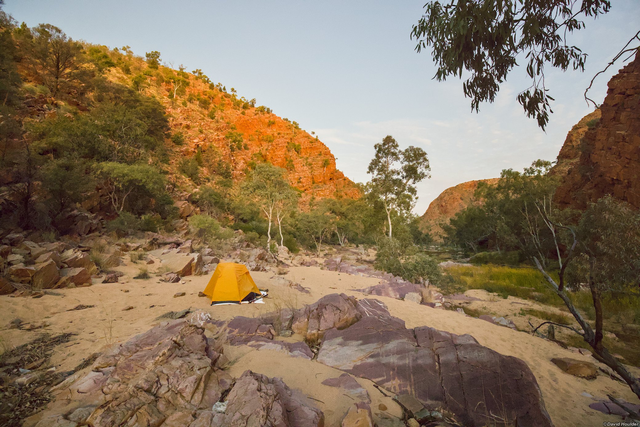
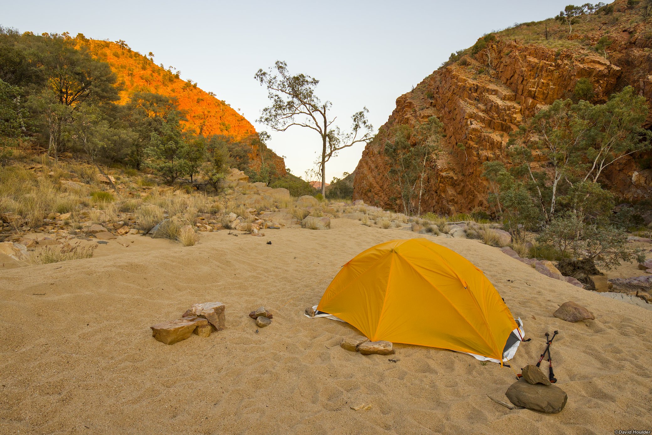
A small tent pitched on a sandbank with a rocky gorge in the distance

The campsites are situated a little bit north of the gap itself. There are a few to choose from. It was quite windy during my trip, and the sites closer to the gap itself seemed windier.

A small tent pitched on a sandbank with a rocky gorge in the distance
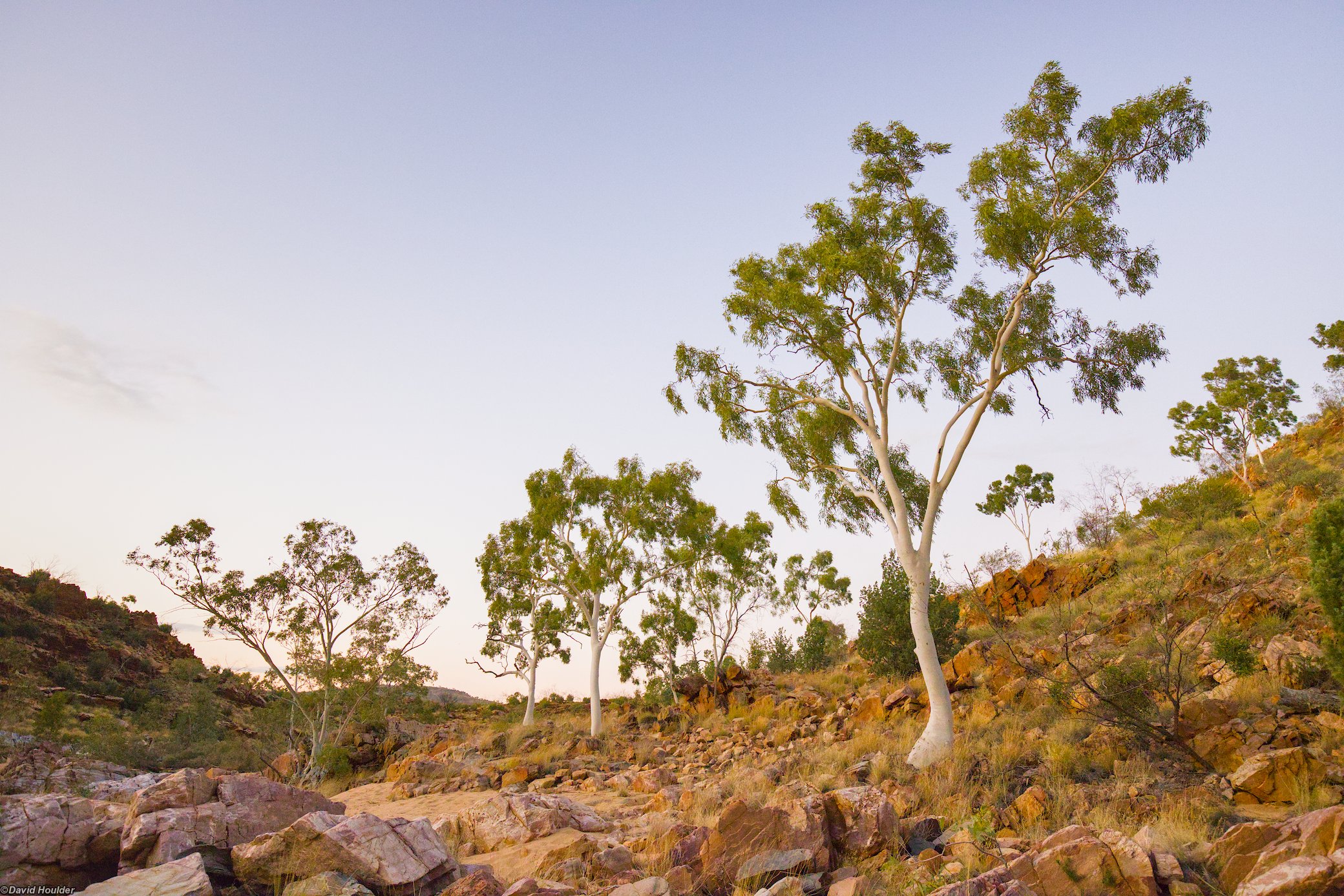
Trees growing a rocky and sandy slope
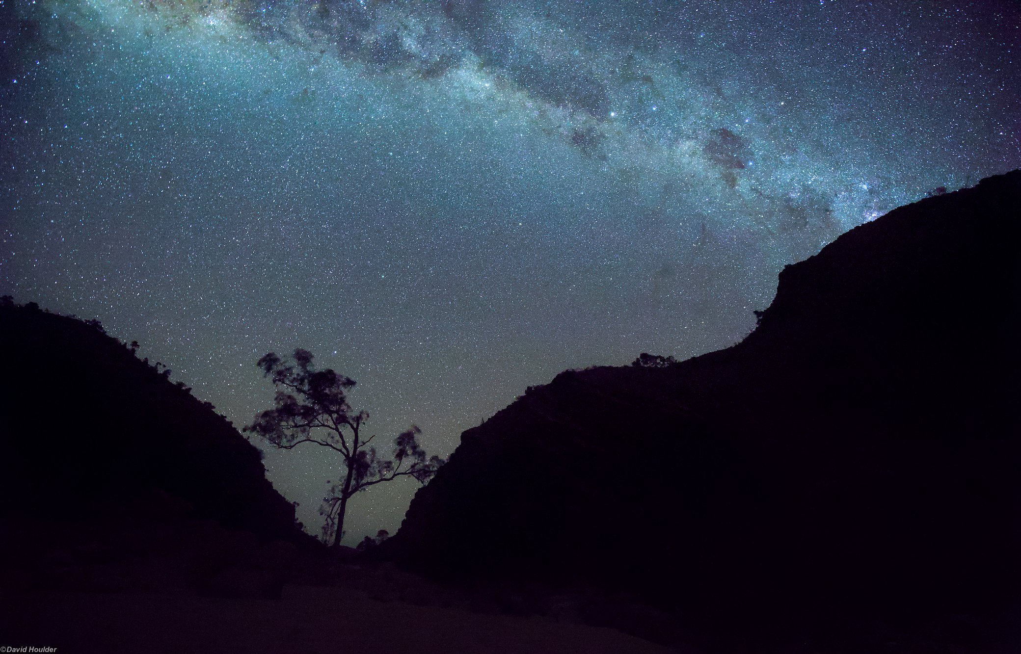
A starry sky with a the silhouette of a tree and cliffs
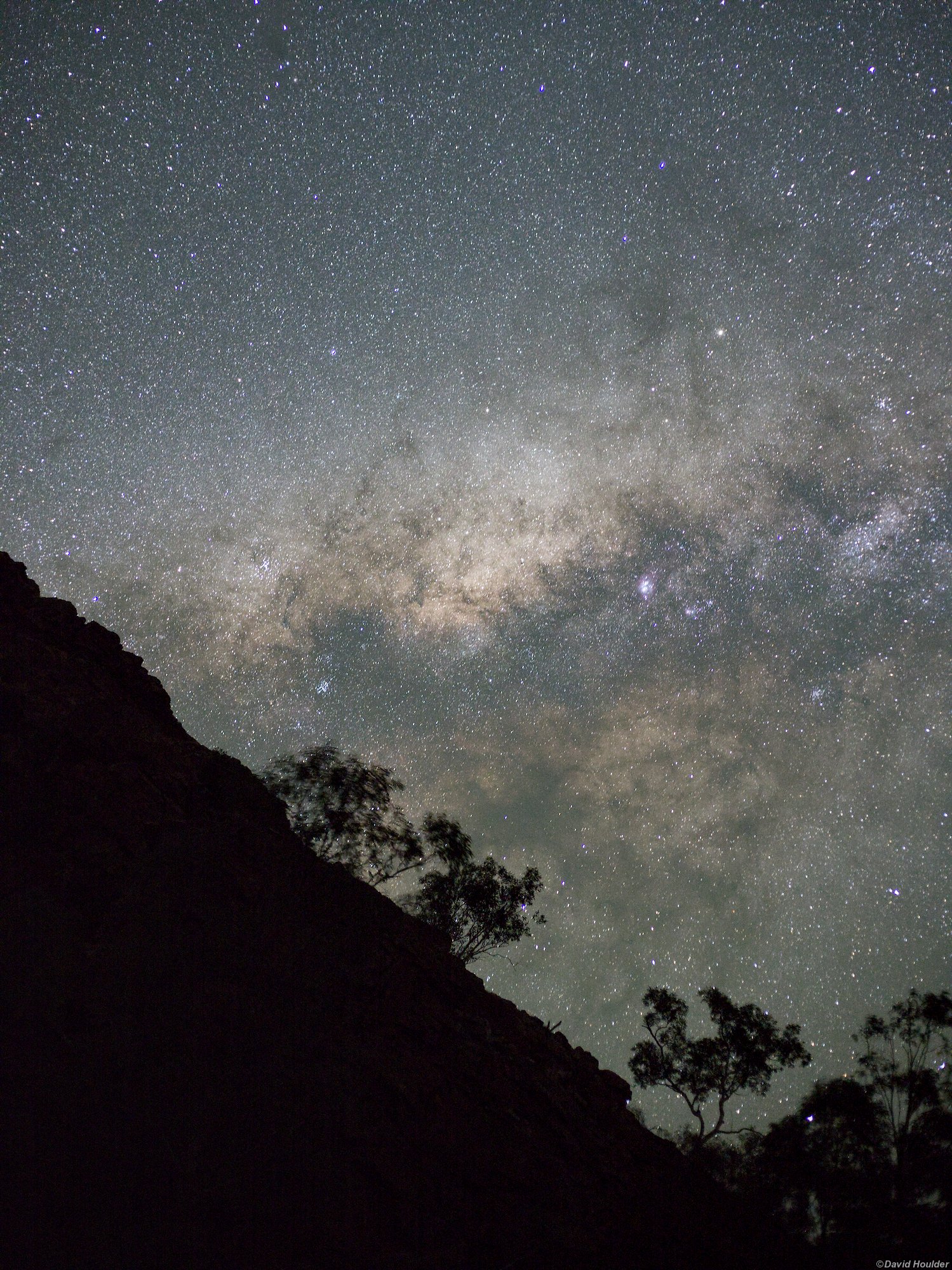
A starry sky with a the silhouette of  trees and cliffs

It's worth timing your trip for moonless nights.

Trees growing a in rocky creekbed
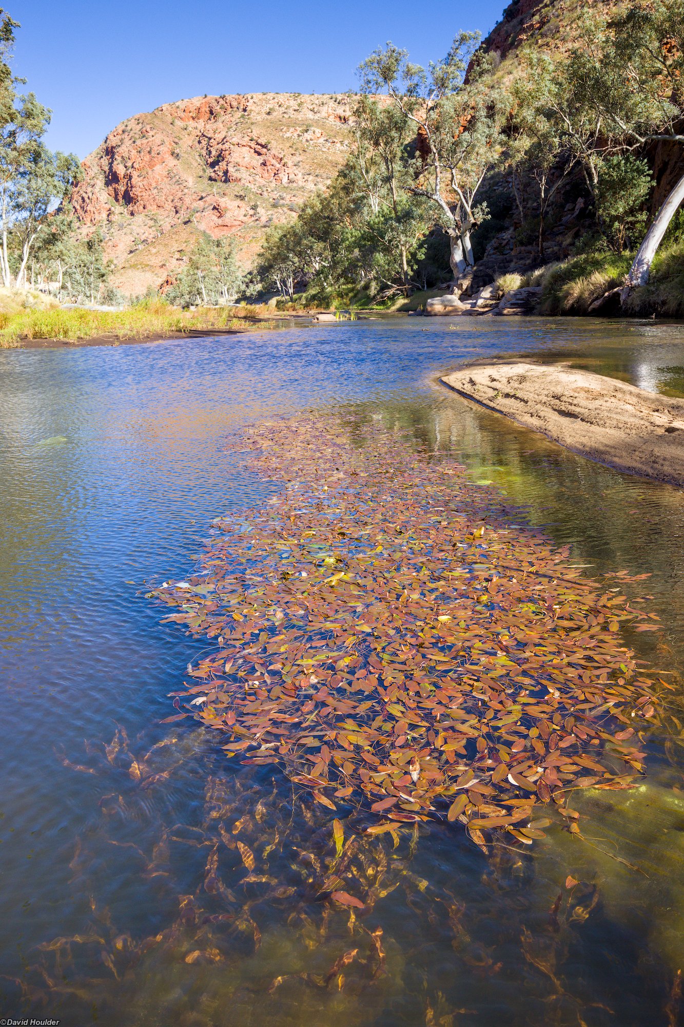
A large clear waterhole with aquatic vegetation growing in the foreground

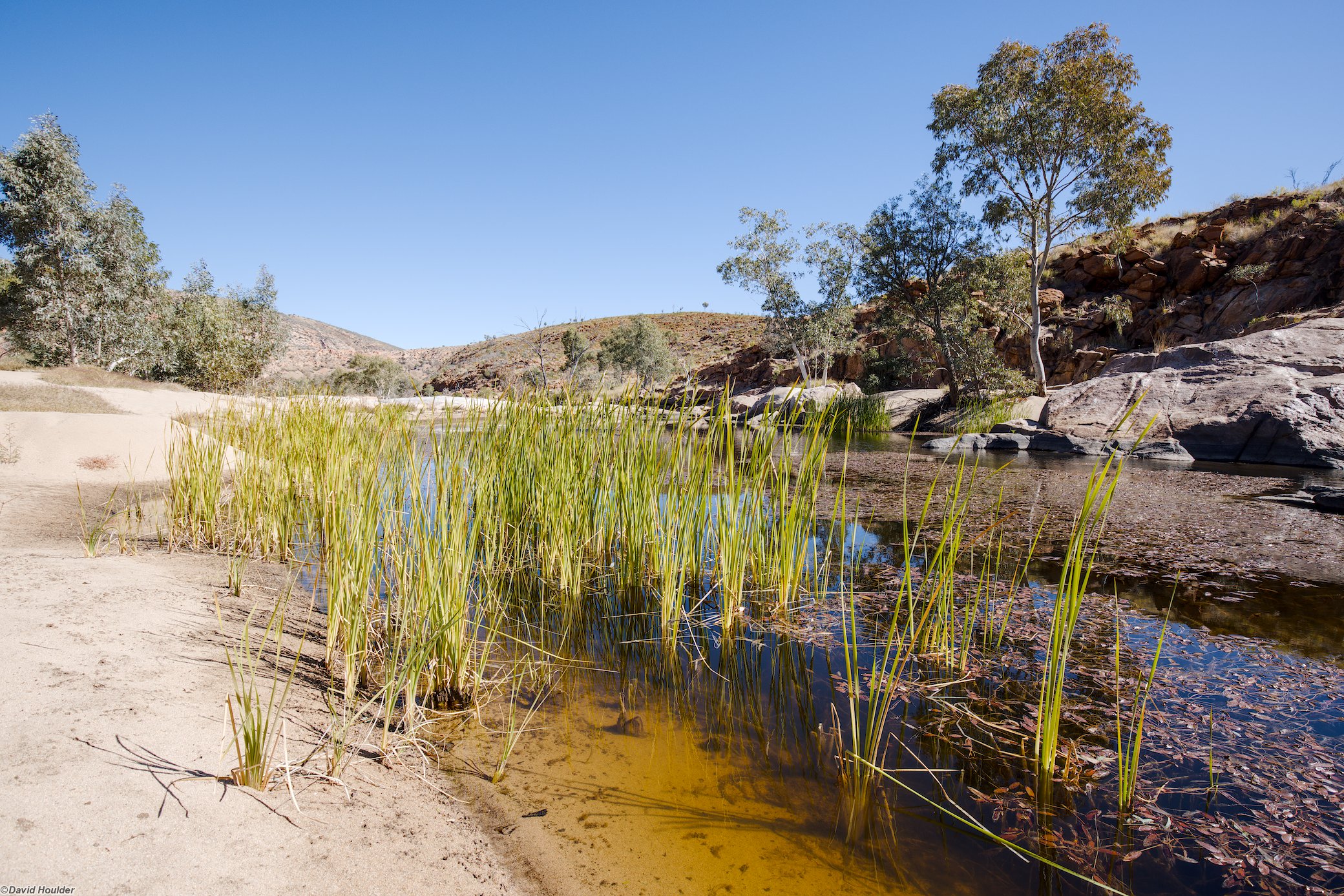
If there's been reasonable rainfall in the previous few months you will probably find water in pools at Bowmans Gap. Make sure to filter or treat it. This pool is a few hundred metres south of the campsites.

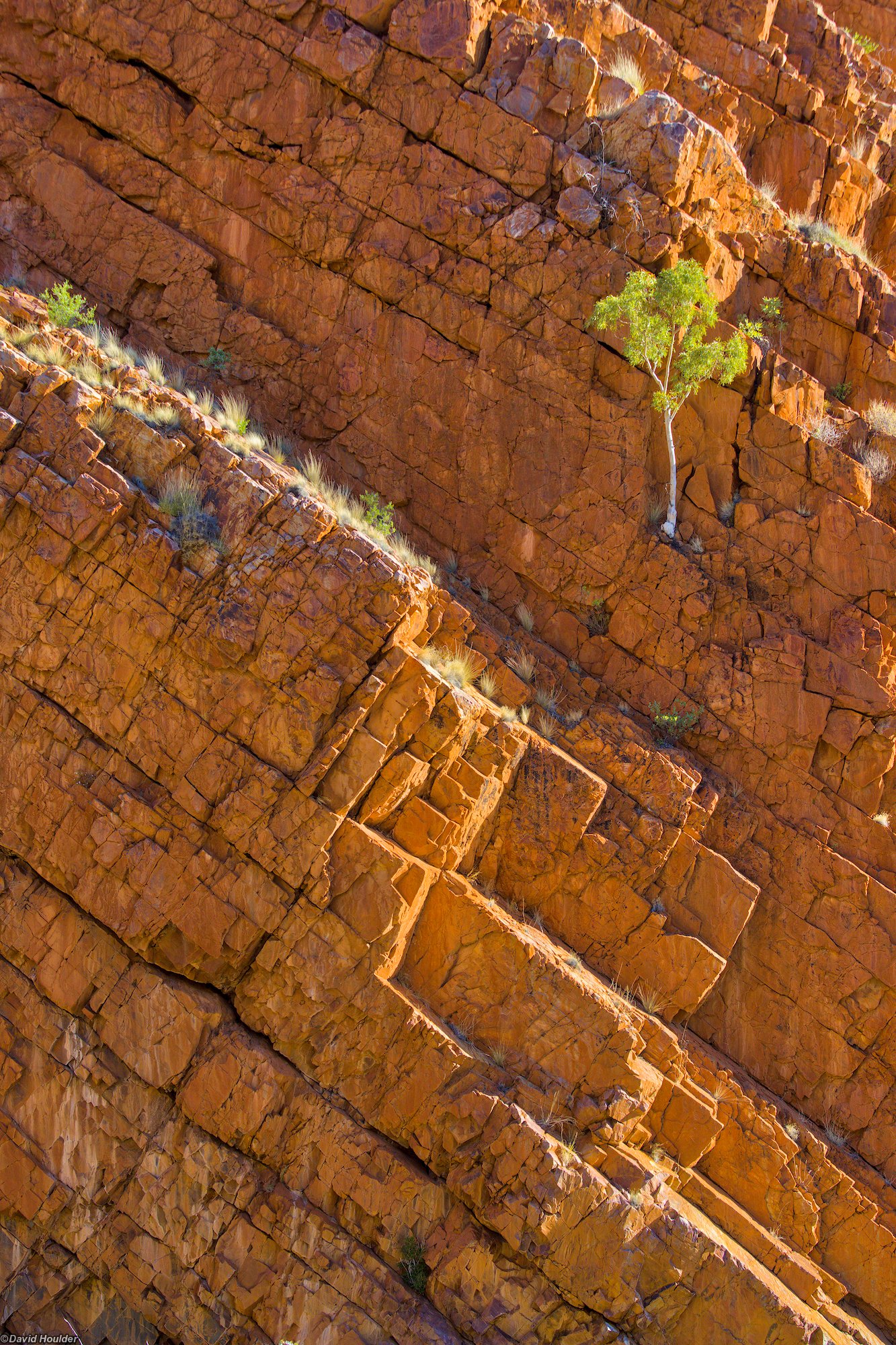
A small tree growing out of a cliff with rock strata inclined at an angle of about 45°
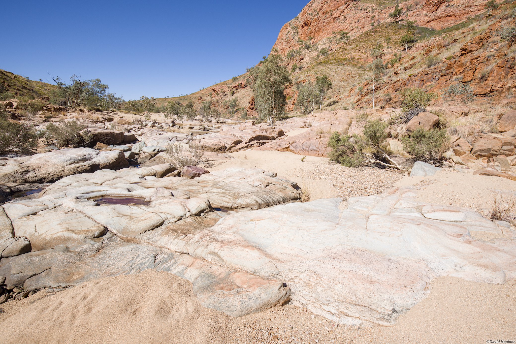
A dry rocky creekbed
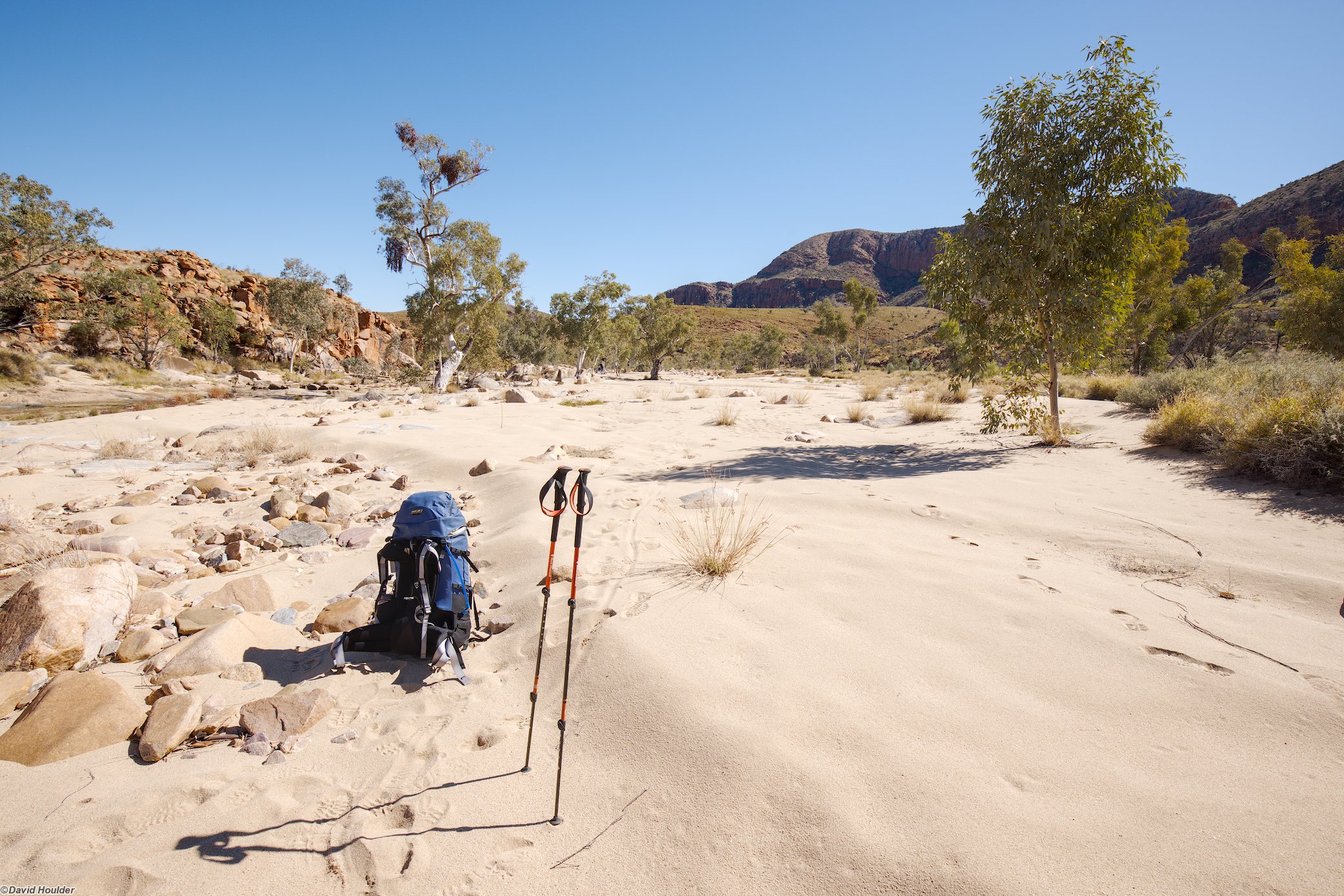
A sandy creekbed with a walking pack and poles in the foreground

There's quite a lot of walking on soft sand, which will slow you down a bit.

Reeds growing in a small waterhole with a sandy bank
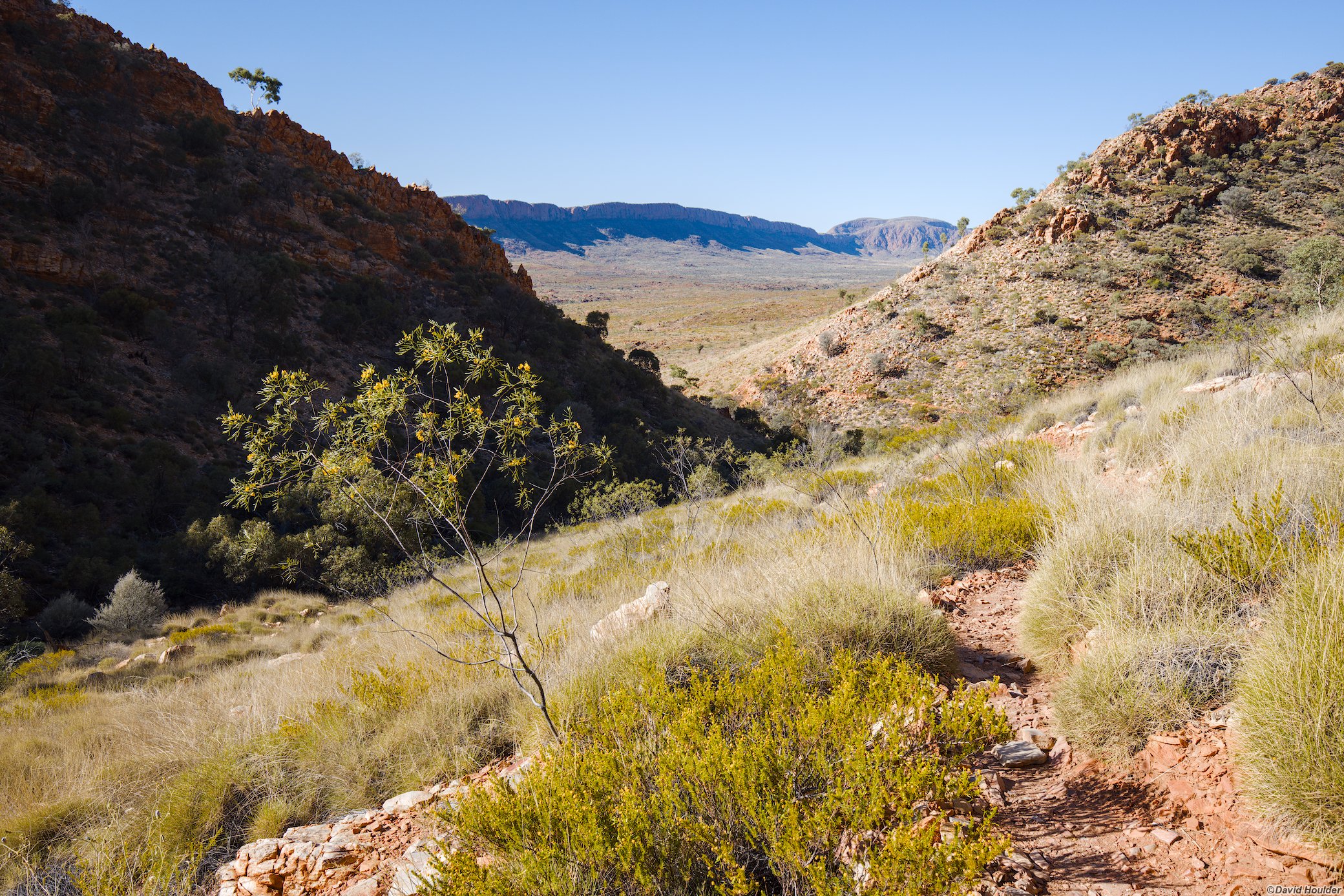
A track through dry rocky hills with grasses and small shrubs

After retracing Ormiston Creek to the Pound Walk, follow the track clockwise back to Ormiston Gorge.

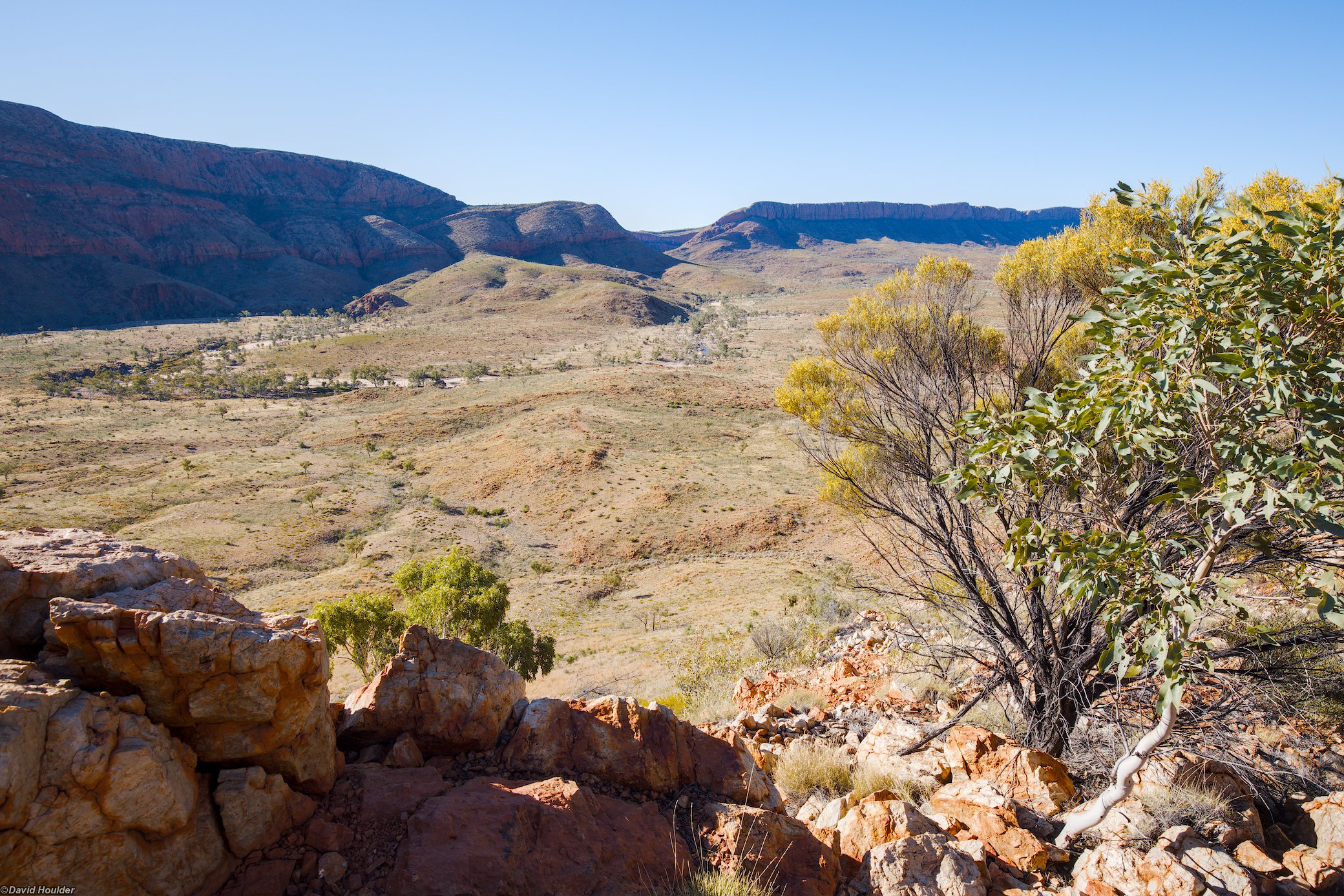
A view of a distant creekbed from an elevated position in an arid landscape with shrubs and rocks in the foreground

From the lookout on the Pound Walk. You can see the meandering Ormiston Creek flowing out of Bowmans Gap in the distance.