Published: Apr 2026

Pieman Heads to Trial Harbour

Note: indicated routes and locations are approximate. Use official topographic maps for navigation.

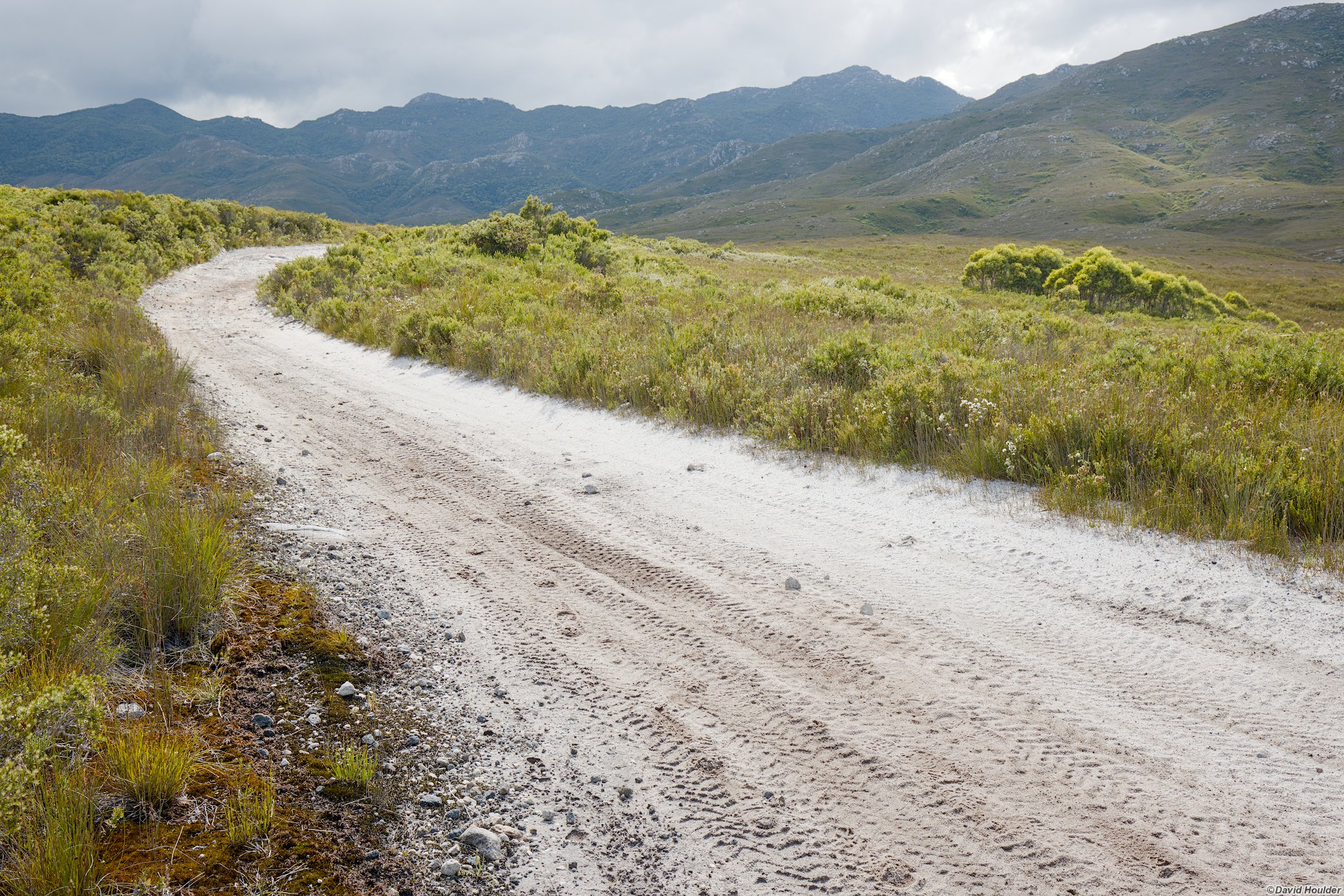
This is an easy four day walk south from Pieman Heads on the west coast of Tasmania. A lot of the walk is on well-used vehicle tracks which are badly eroded in places, and it passes many shacks and a wind farm on the way to Granville Harbour. It's not exactly a pristine wilderness experience, but worth doing all the same. The walk finishes at the end of Climies Track near Trial Harbour, and you'll need to leave a vehicle there or organise some other transport at the end of the walk.

The most pleasant way of getting to Pieman Heads is to stay overnight at Corinna and take the Arcadia II river cruise. Note that if you approach Corinna from the south there is a ferry service instead of a bridge over the Pieman River. Fees apply, and its hours of operation are limited.

We camped behind Four Mile Beach on day one, at the popular drive-in campsite at Granville Harbour, and near Granite Creek on day three. There's no booking system for Granville Harbour, so be prepared to back-track a bit further north if it's full. There's a toilet at the Granville Harbour site, but no other facilities or shops.

Water is available from creeks along the way. As always, availability and quality will vary over time, so check with the Tasmania National Parks and Wildlife Service before you go. We stashed a supply of clean water in labelled bladders near the Granville Harbour campsite  before the walk to avoid having to obtain and treat water at this popular campsite.

Thanks to Jane and Jo and the Hobart Walking Club for organising this trip.
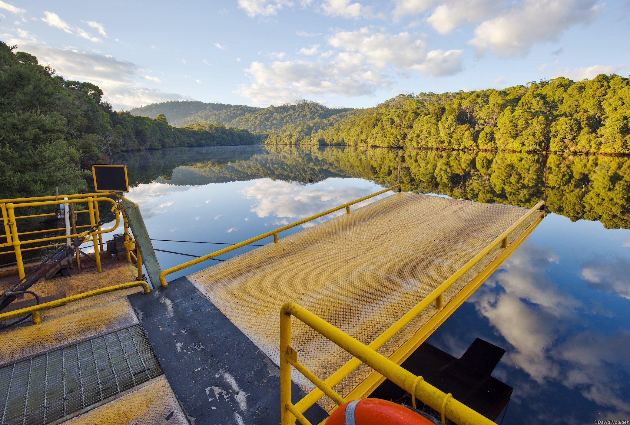
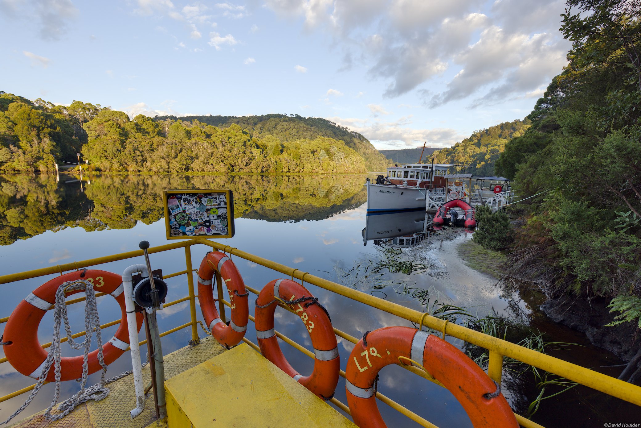
A wide, still river with thick forest on its banks and the loading ramp of a car ferry in the foreground

From the deck of the Fatman Barge used to shuttle vehicles across the river here.
A wide, still river and a large wooden motor boat moored in the middle distance

Our transport to Pieman Heads

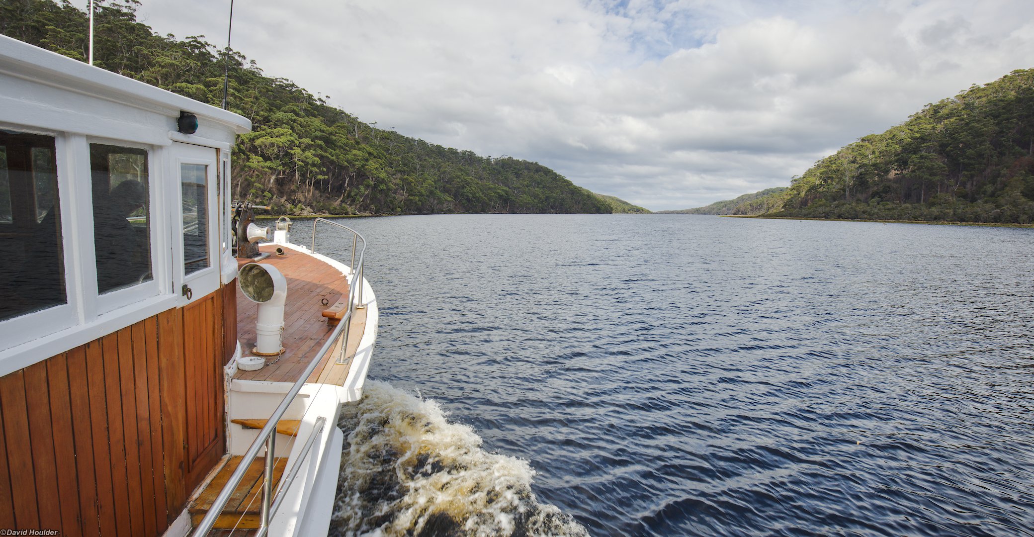
Looking downstream from a boat on a  wide river showing the bow and part of the cabin
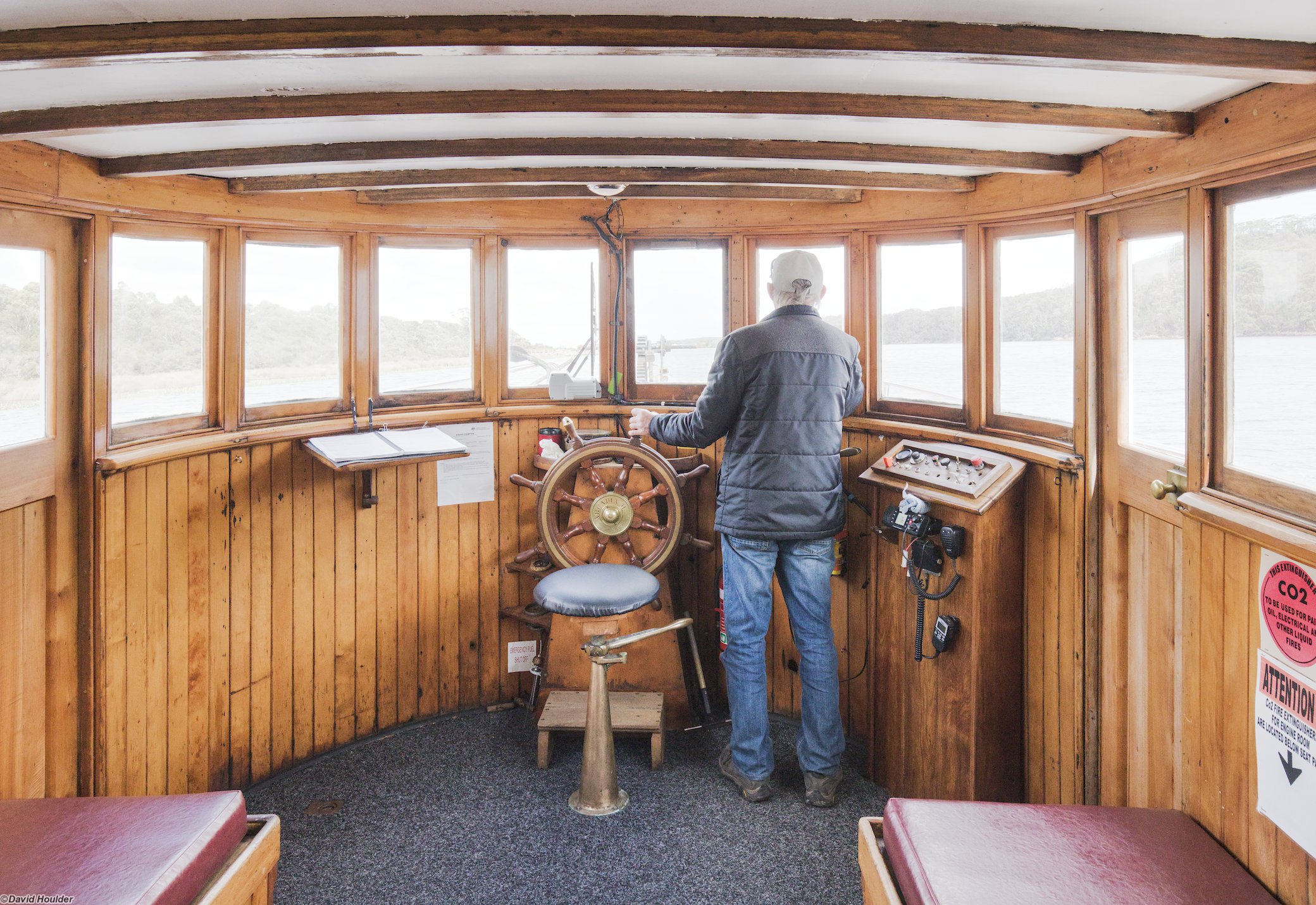
Inside the cabin of a large wooden motor boat showing the helm and the skipper standing beside it
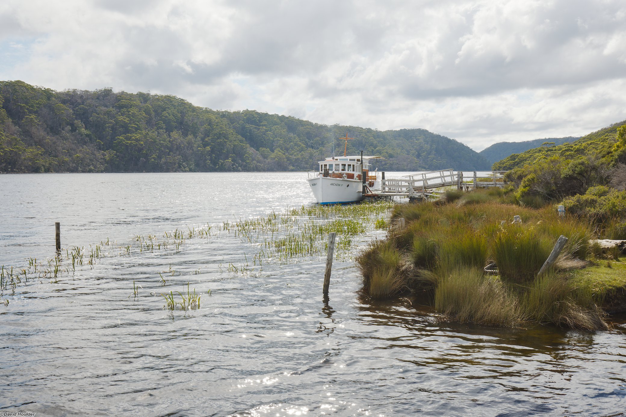
A large wooden motor boat moored at a jetty with rain clouds billowing above

This is the start of the walk. There's a short vehicle track that runs past the shacks and on to the beach.

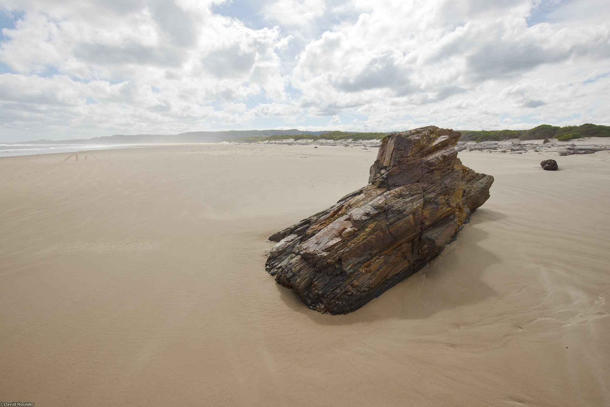
A single elongated boulder with obvious strata on a  wide flat beach and clouds above
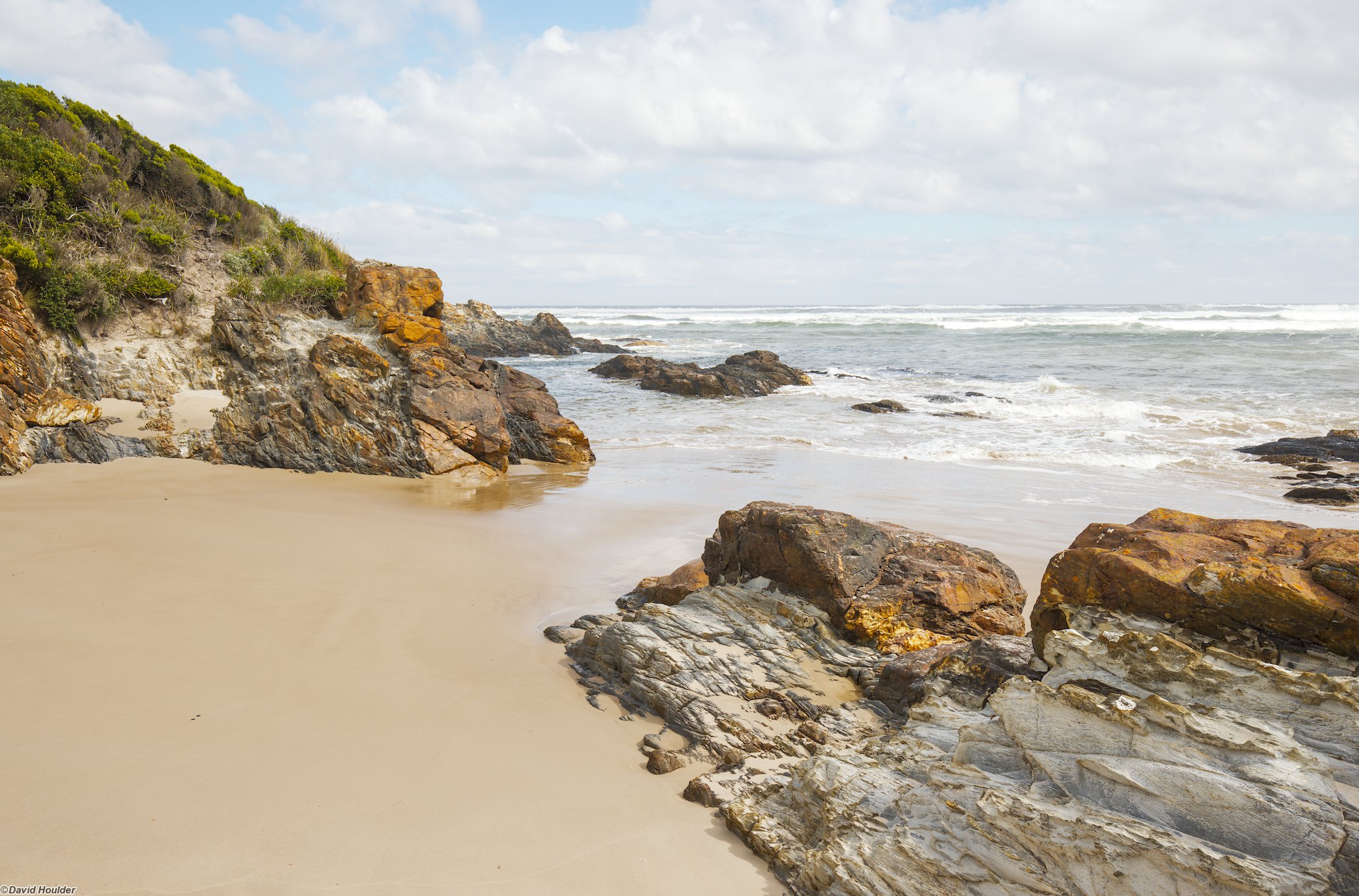
Rock formations and beach near a headland with clouds above and small crashing waves
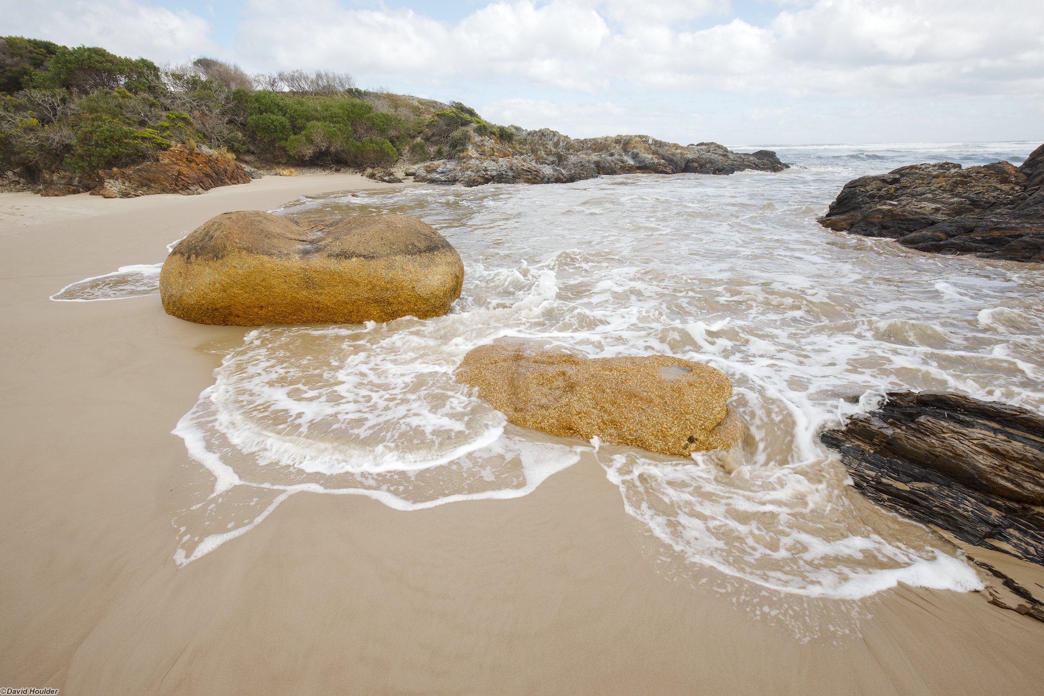
Rounded granite boulders on a beach with the wash from a crashed wave approaching the viewer
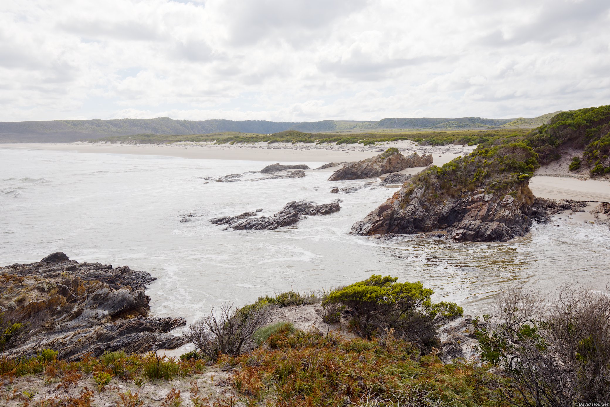
A distant beach viewed from a small headland with rock outcrops in the water nearby
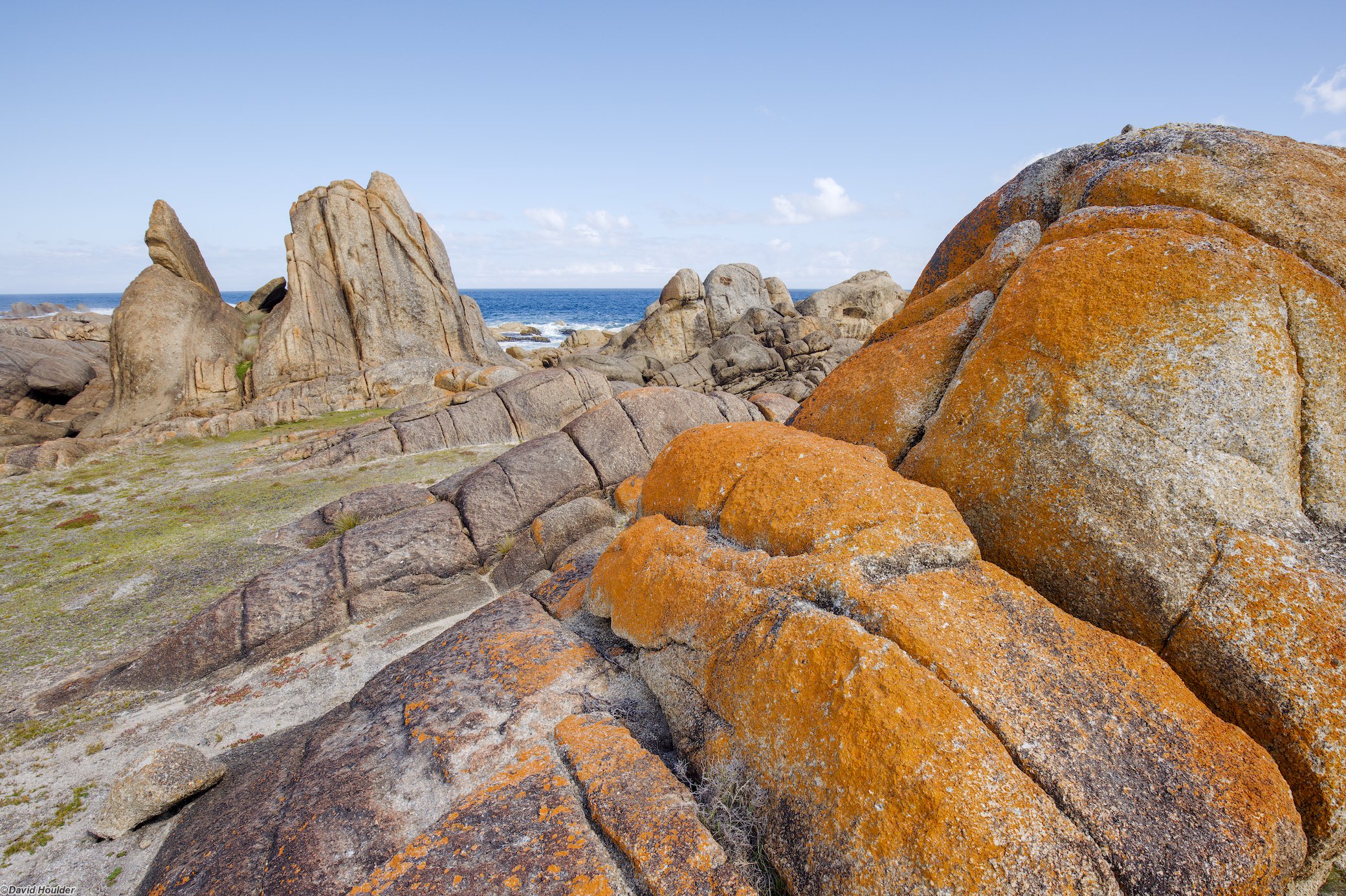
Weathered granite outcrops beside the ocean, one covered in lichen

This area of the coast is known as Conical Rocks. Nothing particularly conical right here though.

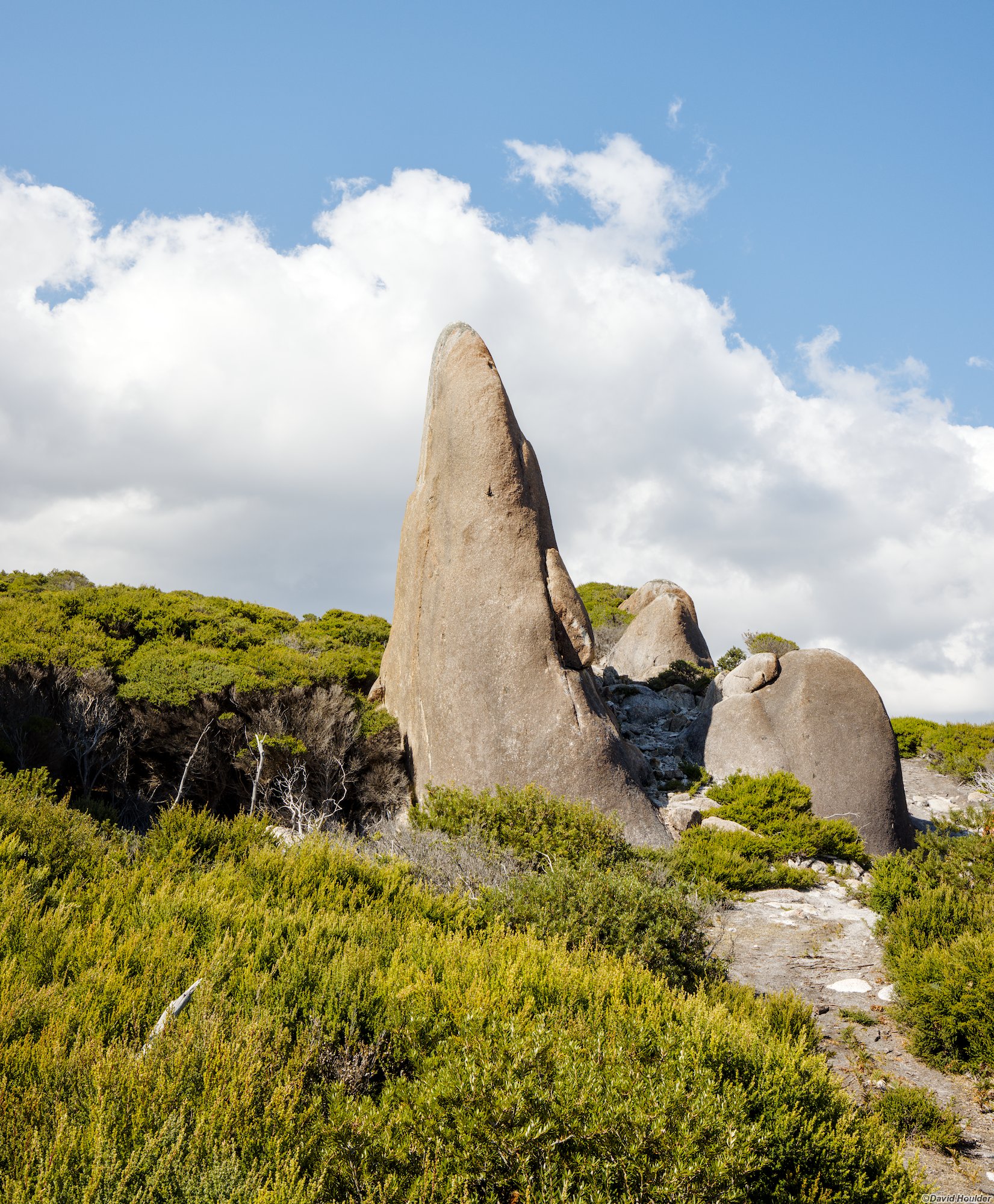
A large cone-shaped vertical granite outcrop on a  shrubby hillside
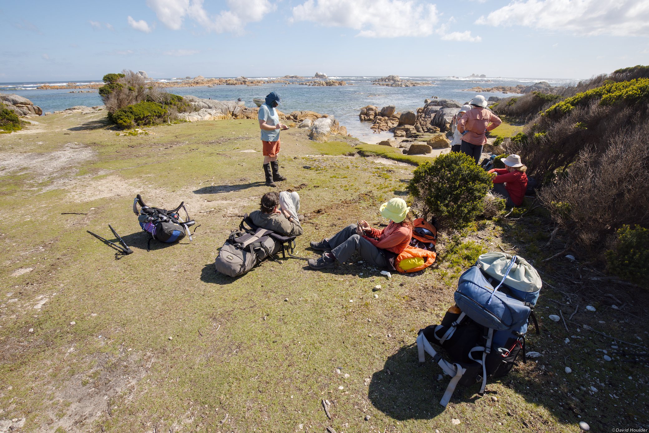
Hiking packs sitting on a flat grassy area beside the ocean with several people nearby
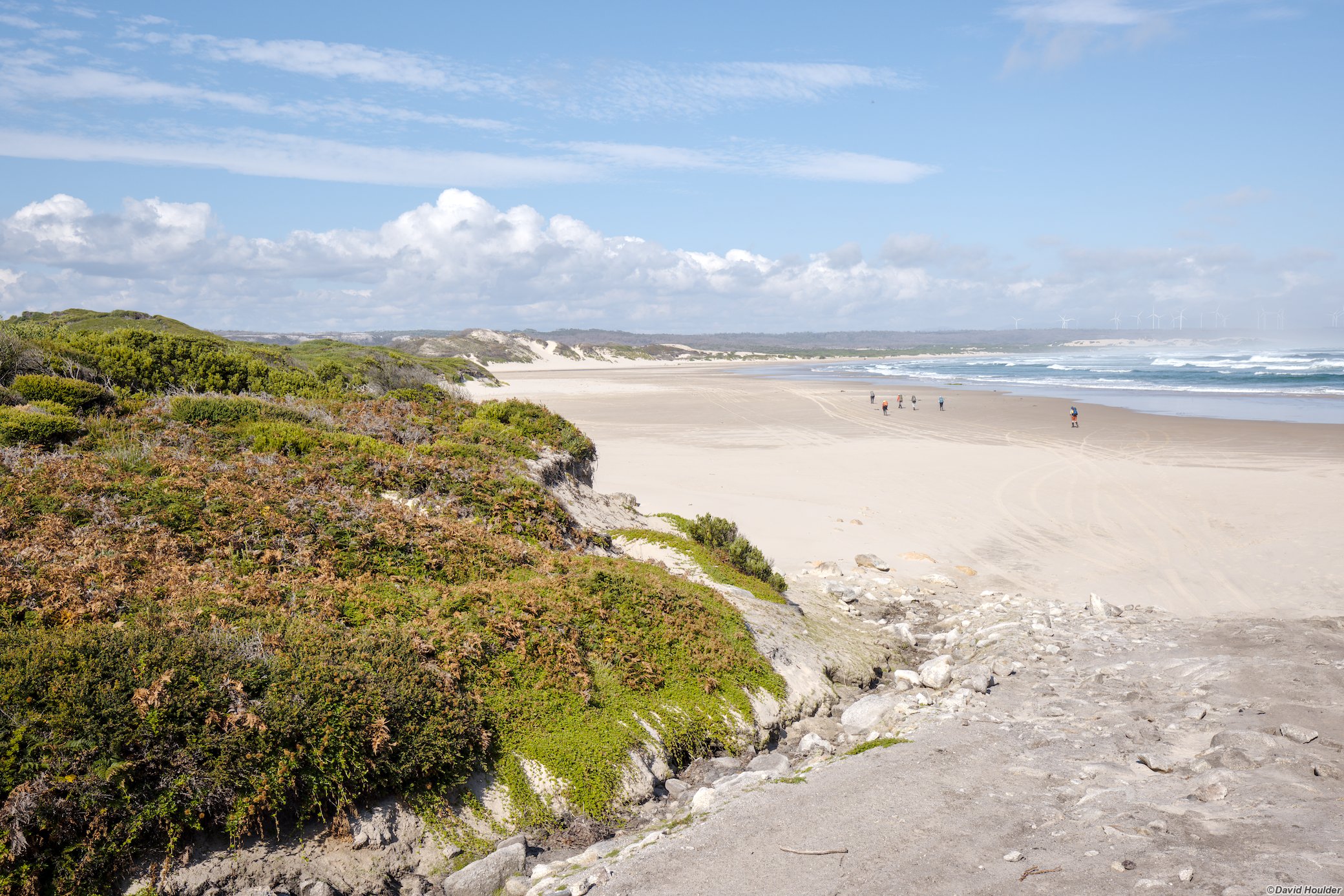
A long, wide beach viewed from a slightly elevated position with a group of walkers in the distance

Looking south to Granville Harbour

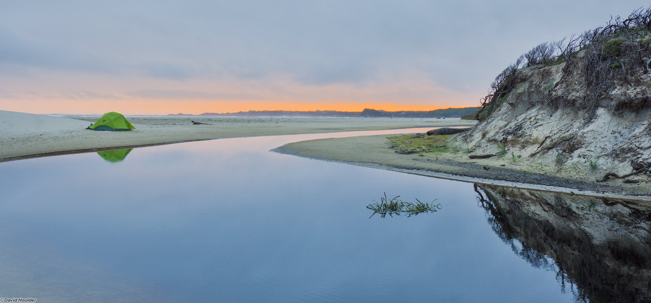
A small tent pitched on a  beach at sunset beside a wide, still stream

We camped at Surprise Creek, the first creek on Four Mile Beach.

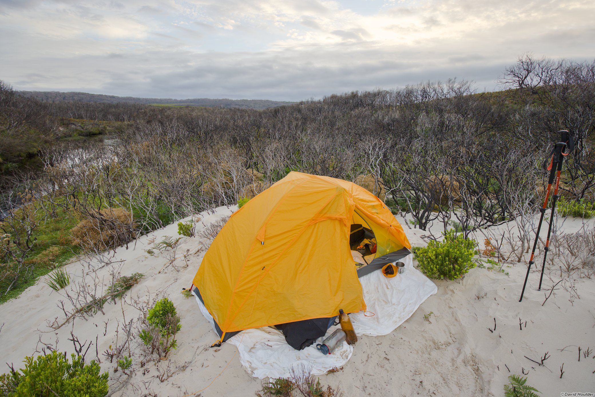
A small tent pitched on top of a sand dune with burnt shrubs behind it

On a dune above Surprise Creek. This area was burnt by bushfires in early 2025.

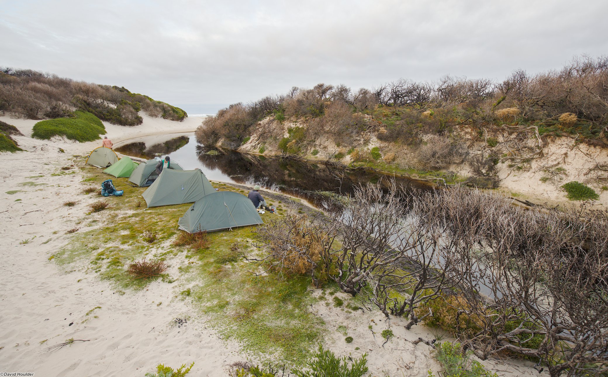
A group of tents pitched on the sandy bank of a coastal stream with grass and burnt shrubs nearby
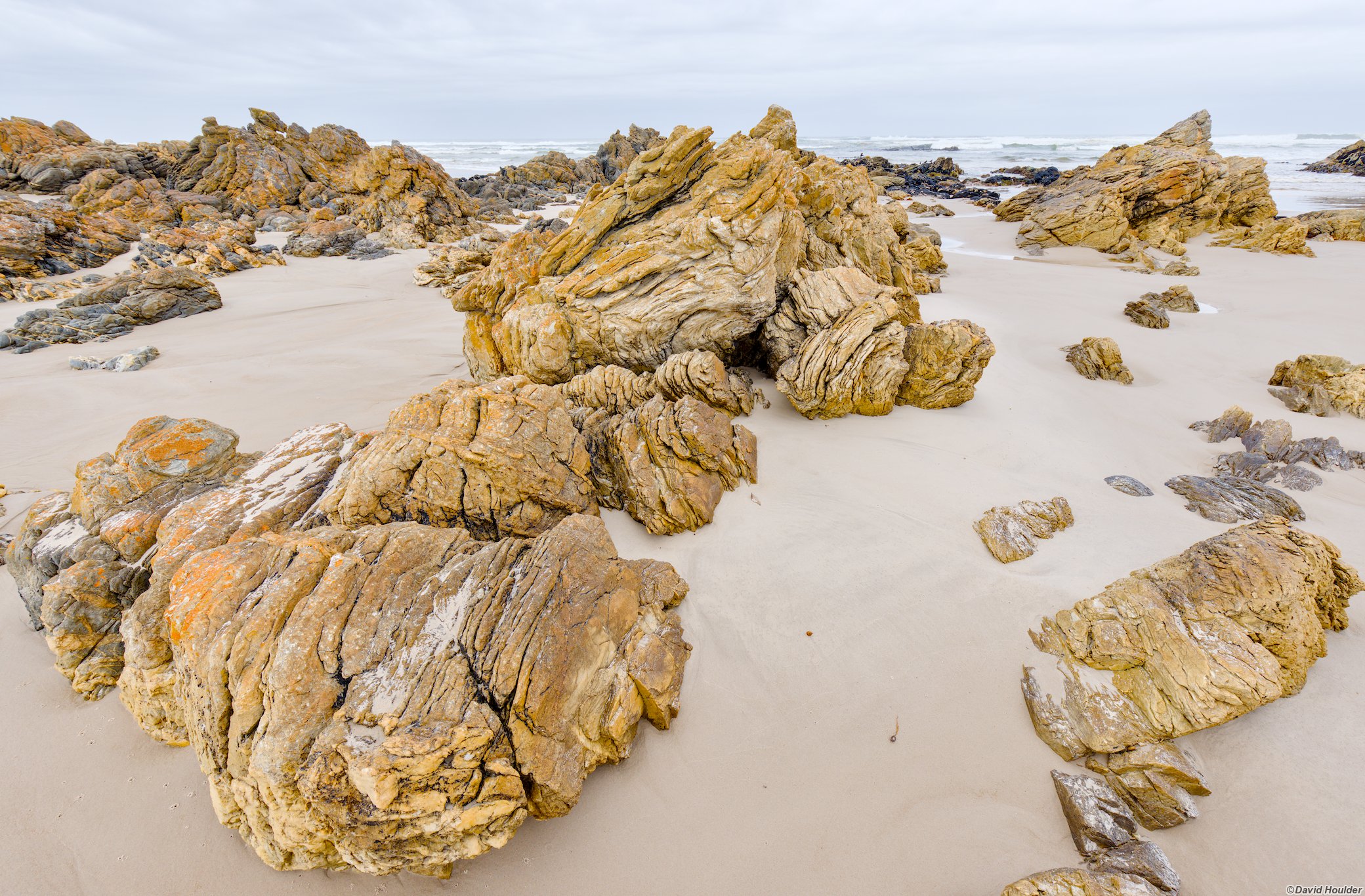
Twisted rock formations on a beach
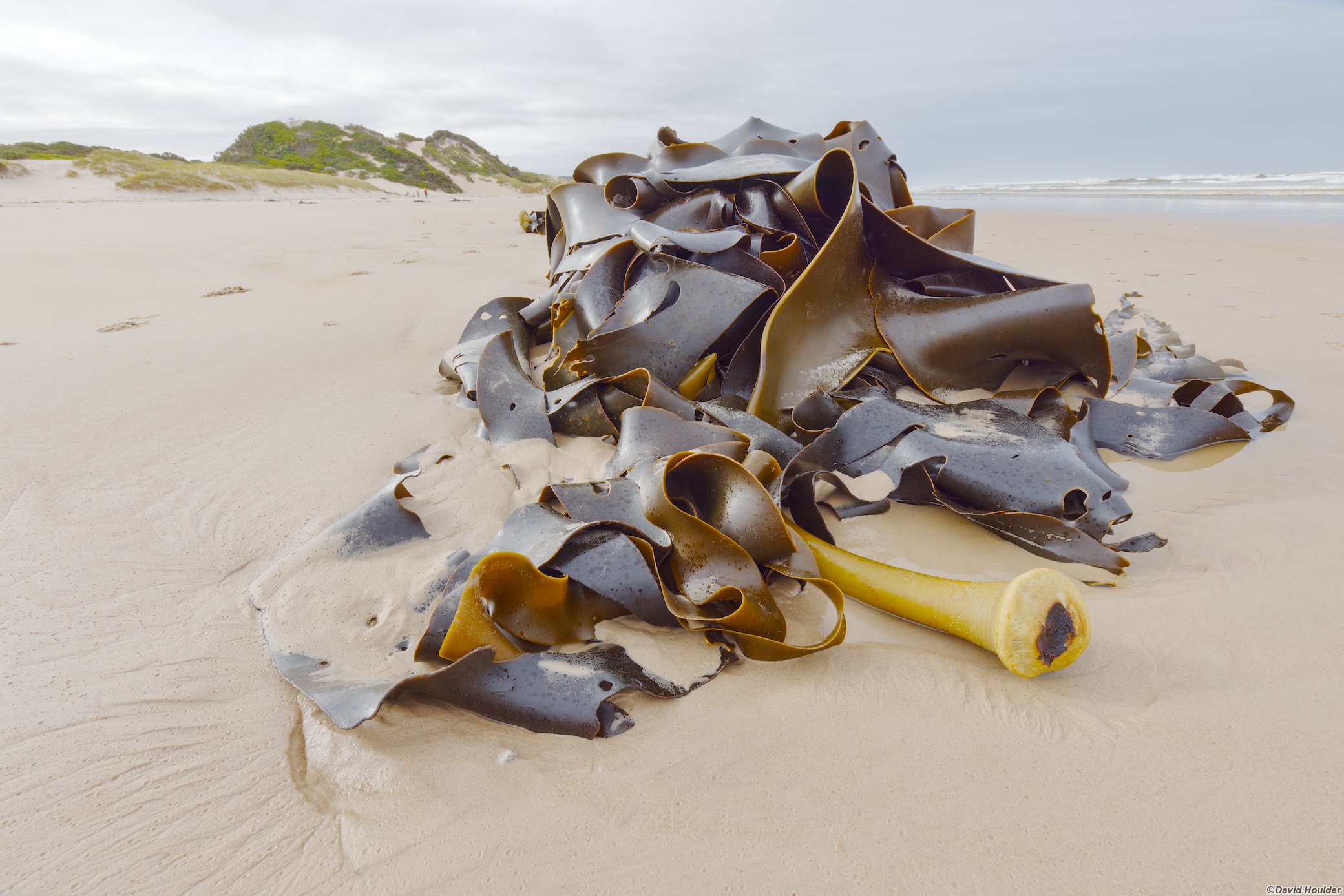
A mound of bull kelp washed up on a beach
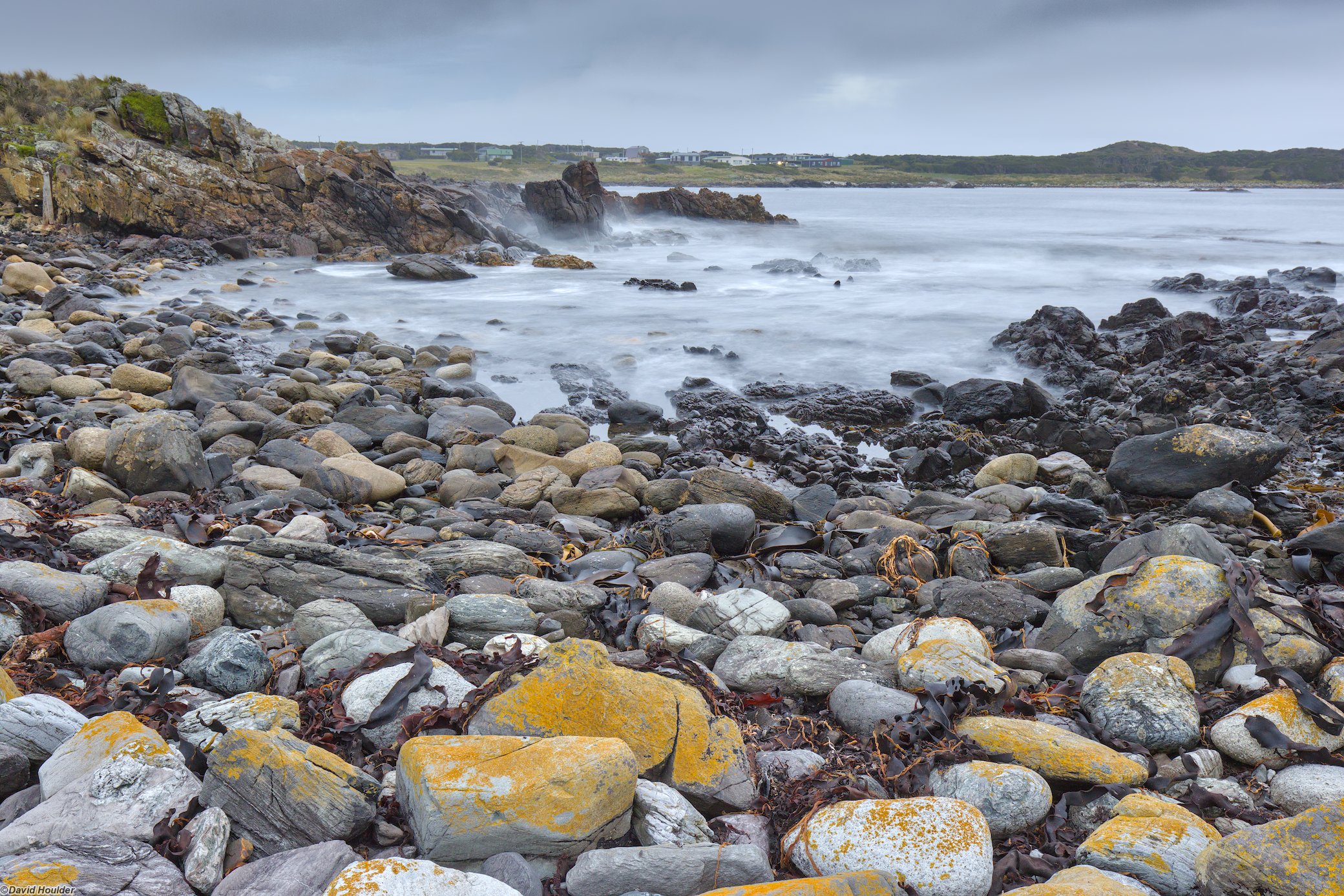
A small bay with many rounded rocks in the foreground and some buildings in the distance

Near the camping area at Granville Harbour.

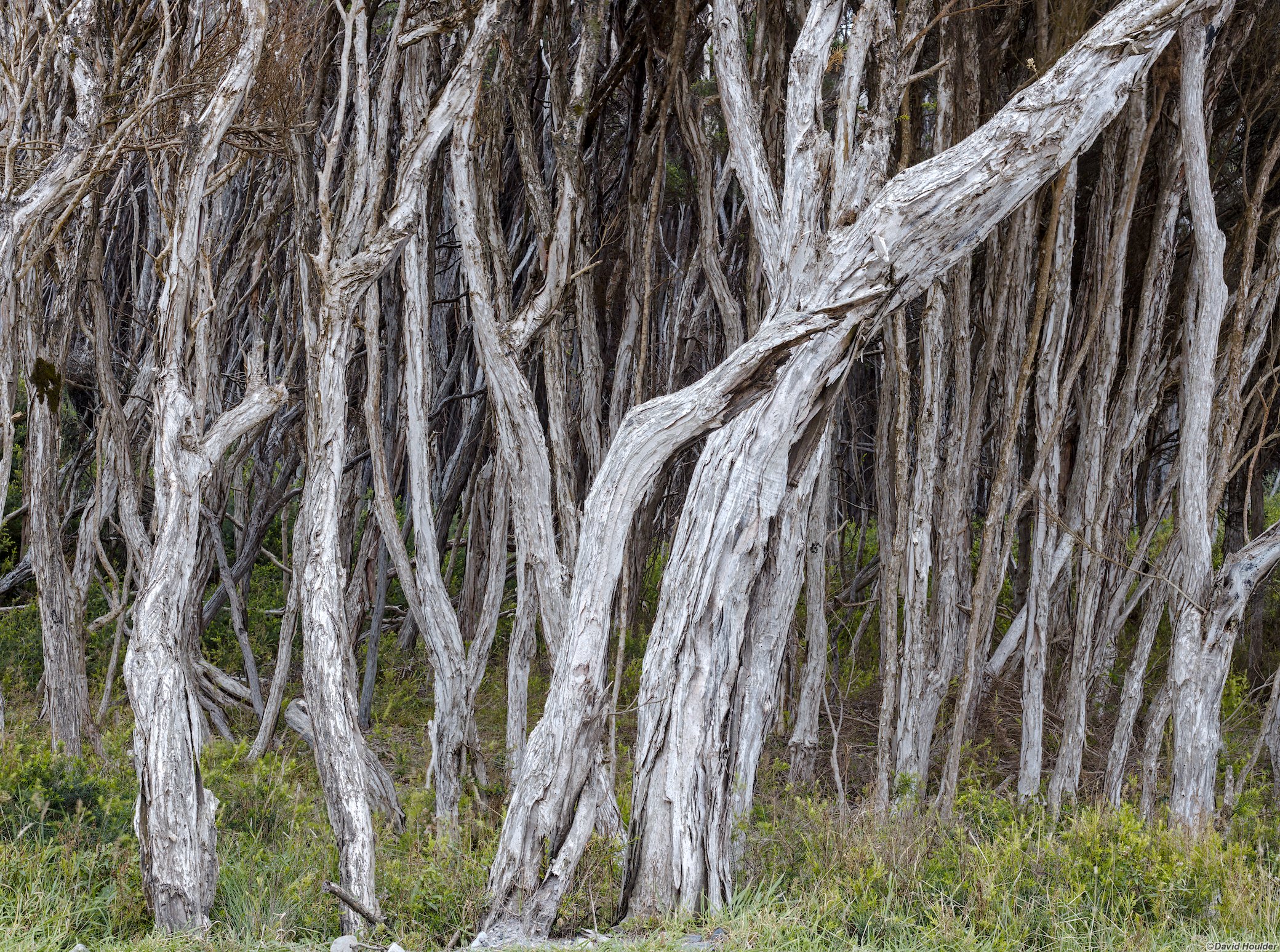
The twisted trunks of a grove of small trees
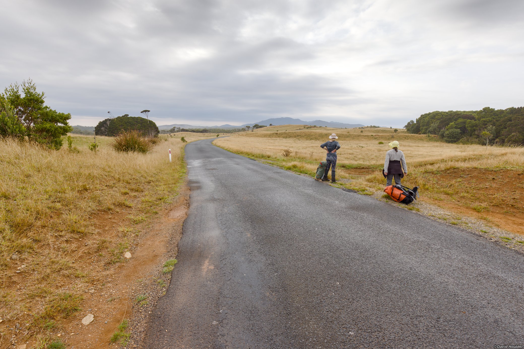
Two walkers with hiking packs beside a bitumen road in farmland

There are a few kilometres of bitumen to walk when leaving Granville Harbour.

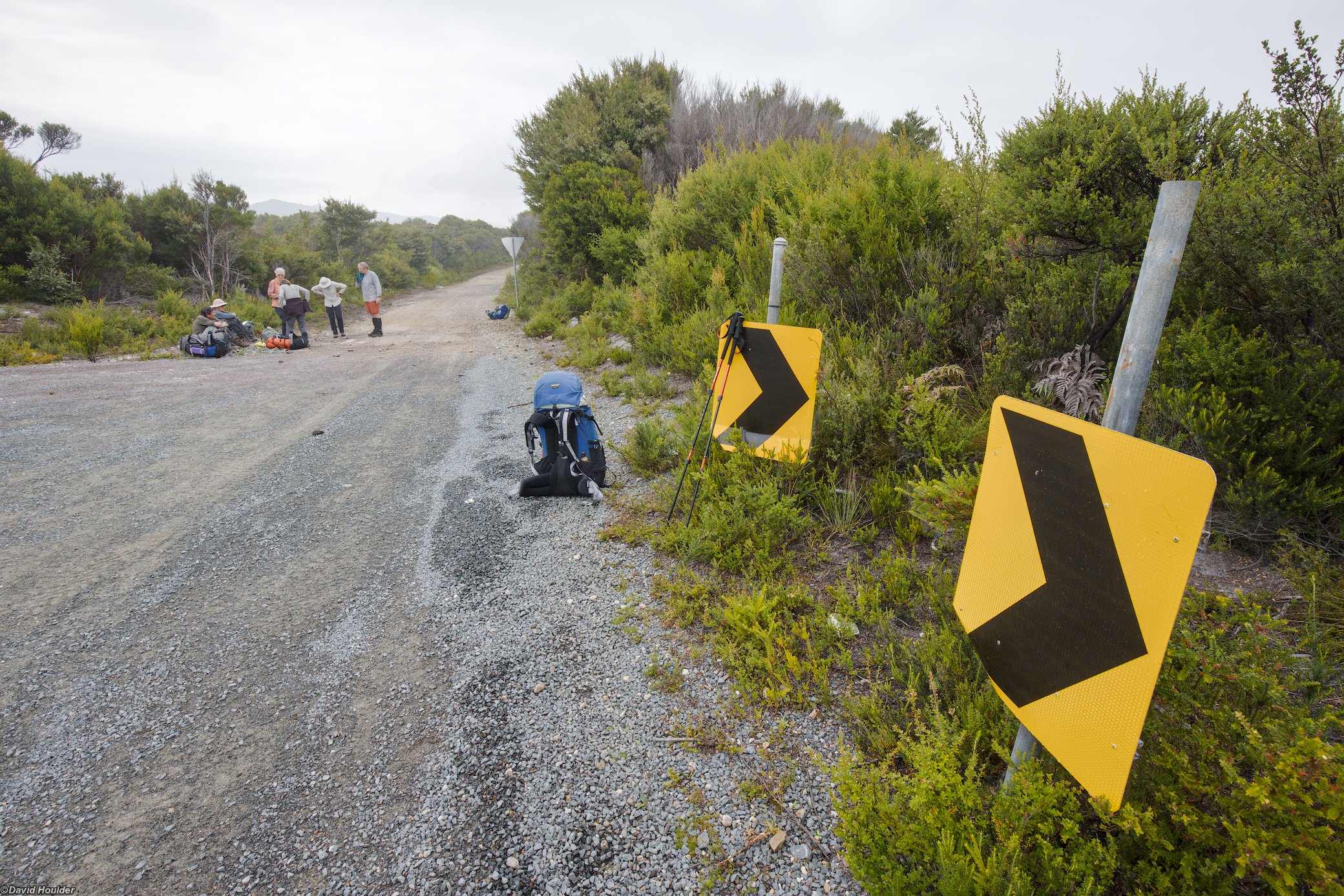
Road signs beside a gravel road with a group of walkers and shrubs
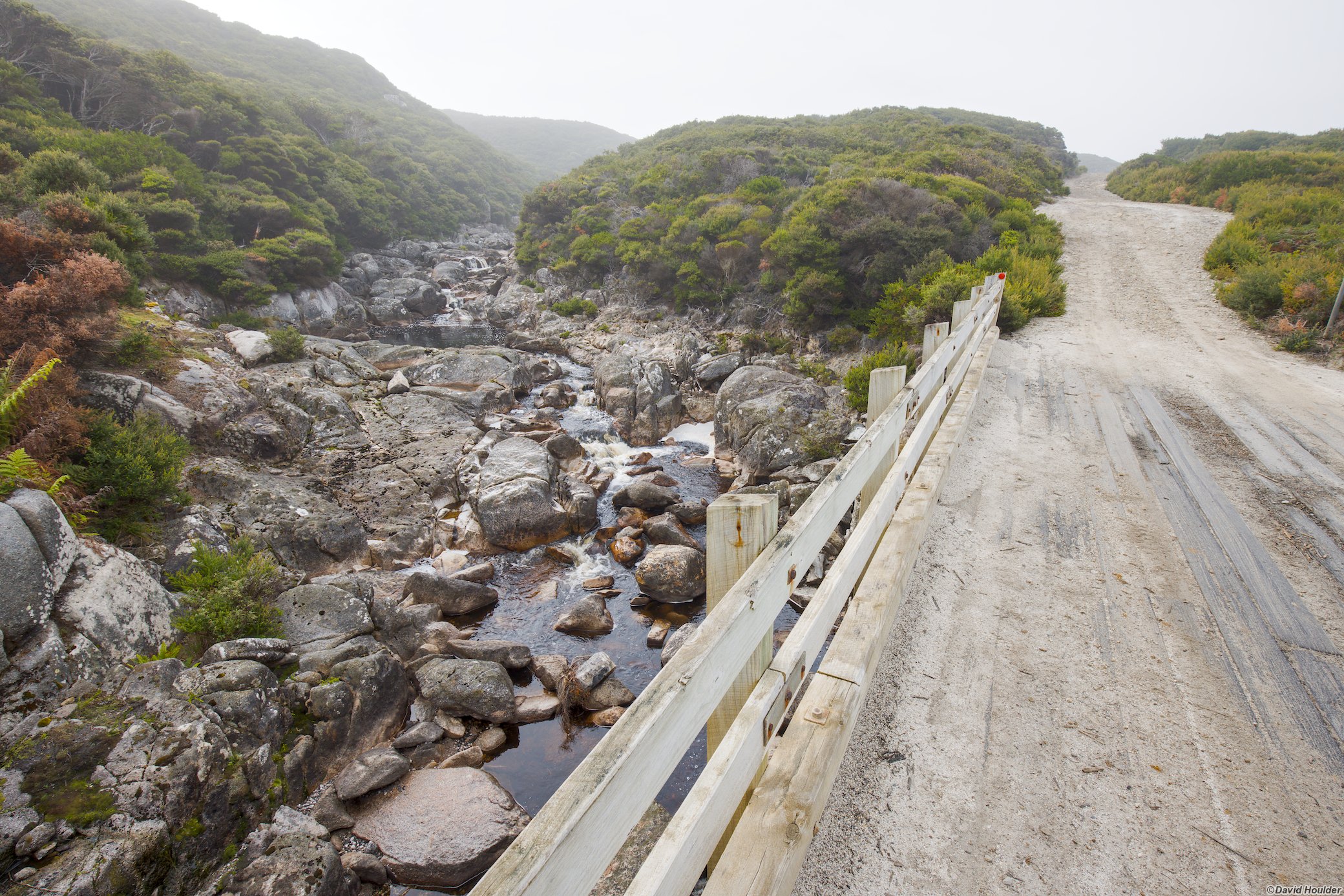
A wooden bridge on a sandy track crossing a stream filled with boulders
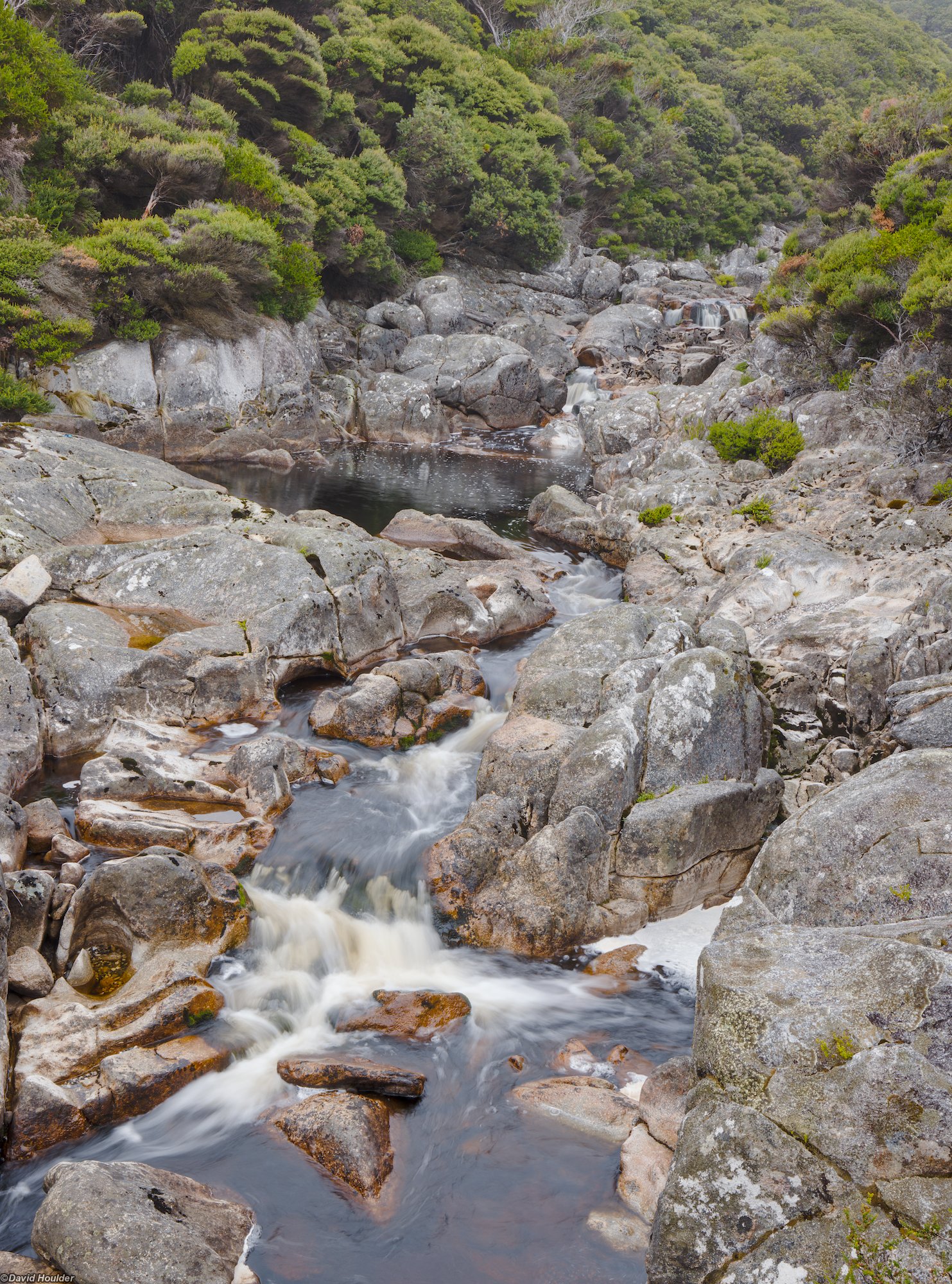
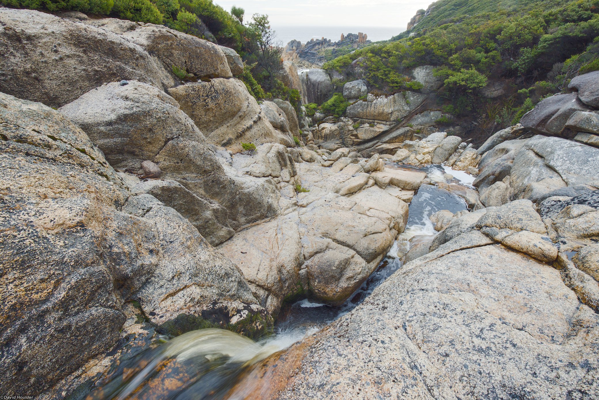
A cascading stream and rounded boulders with shrubs behind
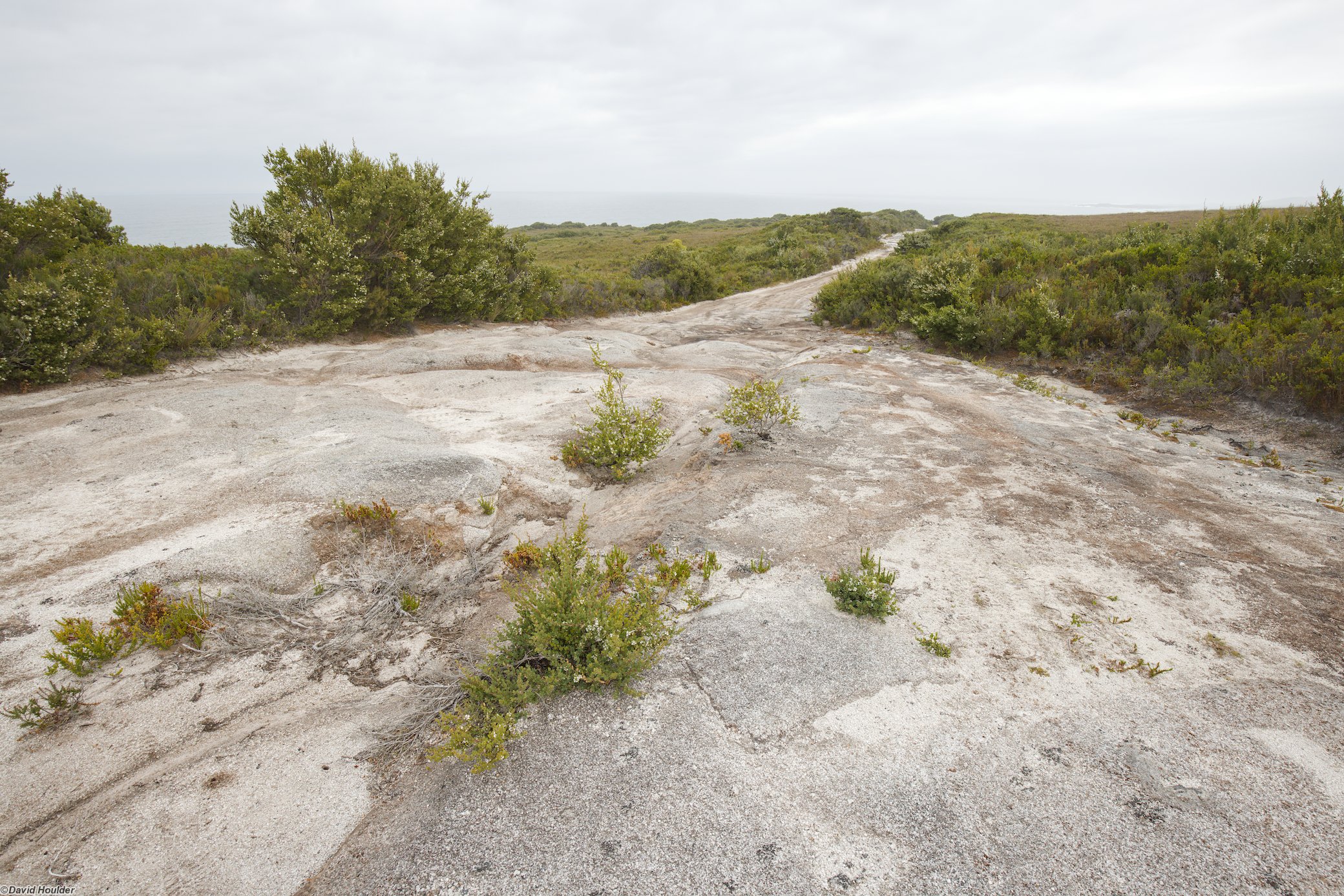
A very wide and sandy vehicle track in a shrubby landscape

Climies Track is a well used 4WD route.

A group of walkers and their packs on a very wide and sandy vehicle track in a shrubby landscape
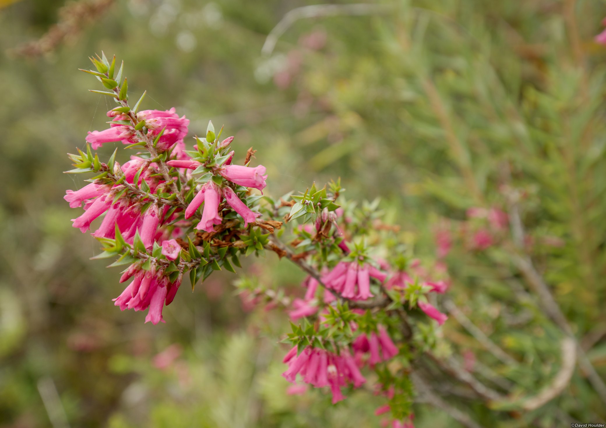
A sprig covered in bell-shaped flowers emerging from a shrub
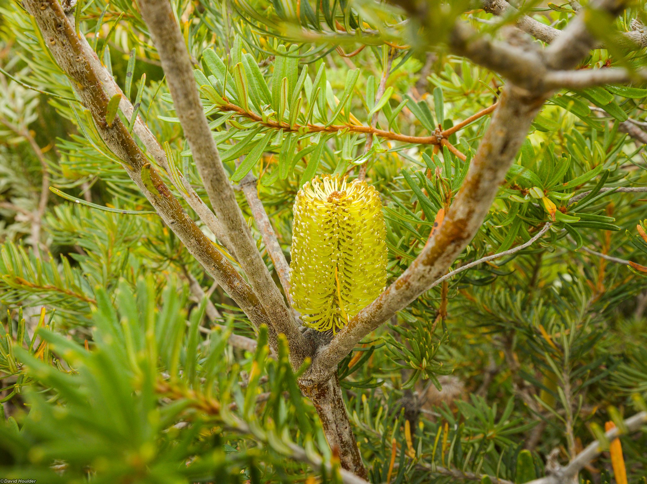
A banksia flower in full bloom surrounded by foliage
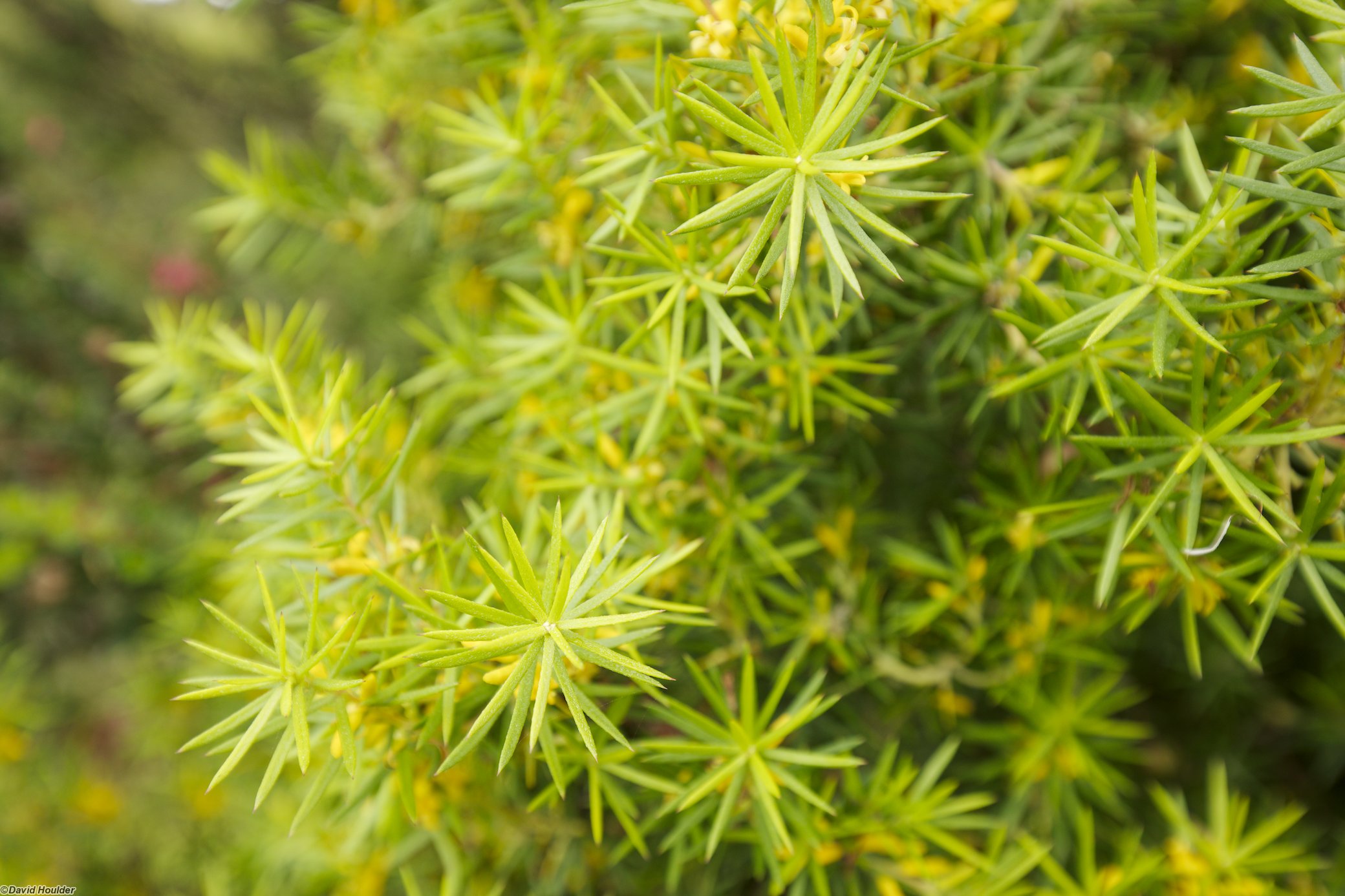
Starburst-like foliage of a small shrub
A small cascade  flowing down a smooth granite outcrop with shrubs in the distance
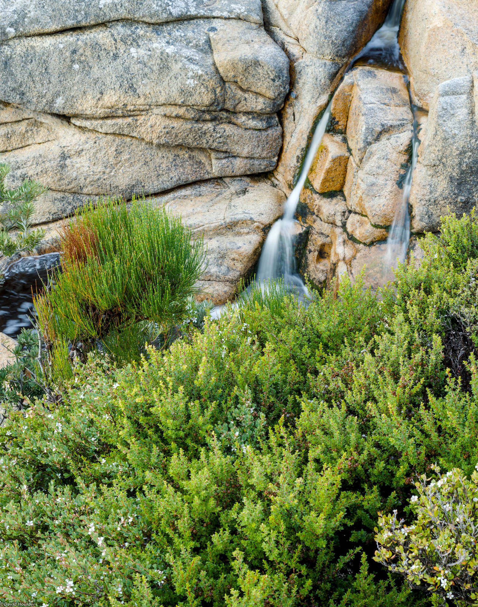
A small waterfall  flowing down a smooth granite cliff with shrubs in the foreground
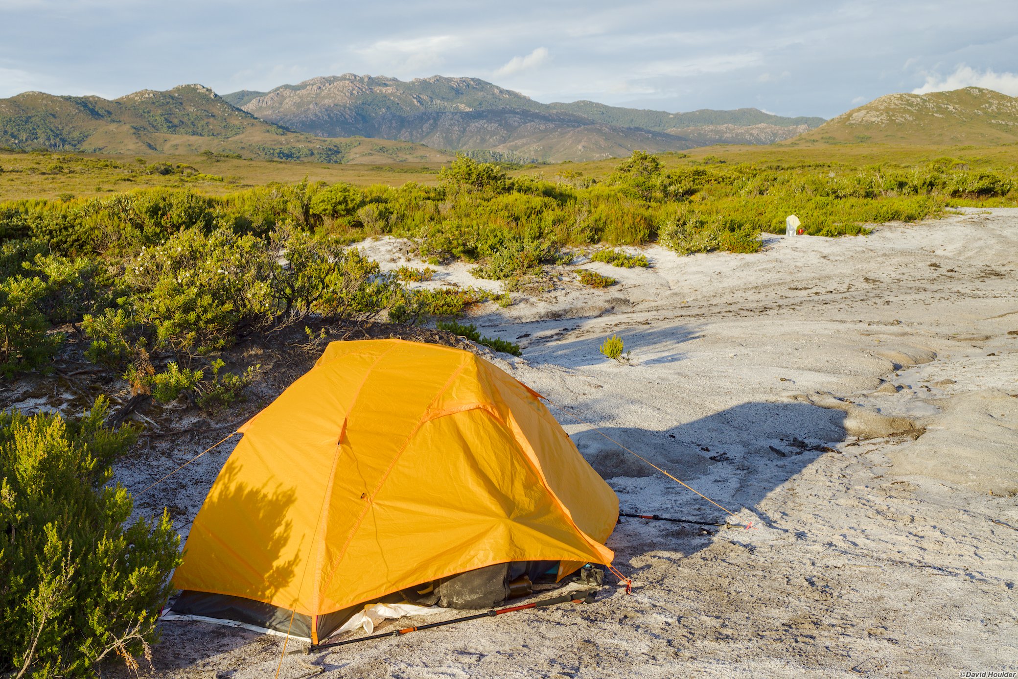
A small tent pitched on a sandy area with shrubs behind and a mountain range in the distance

At the top of the ascent south of Granite Creek.

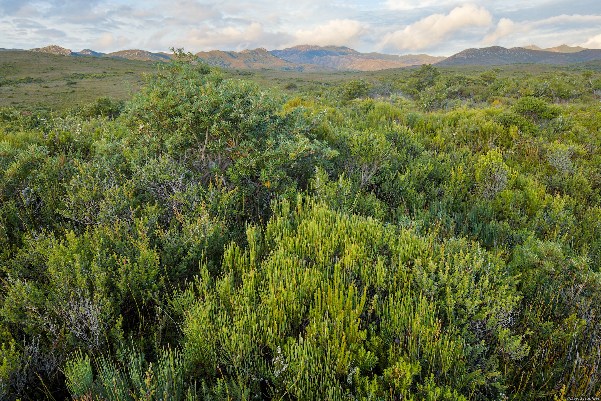
Densely packed shrubs and a mountain range in the distance
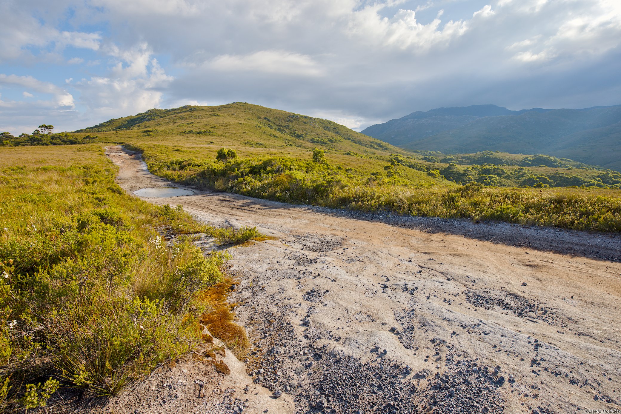
A sandy vehicle track winding down a shrubby hillside with rainclouds above
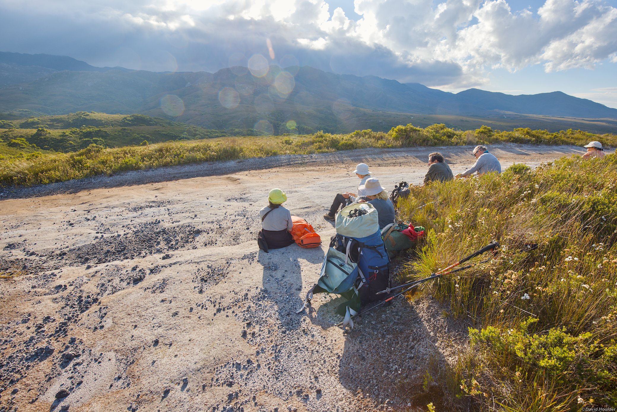
Walkers sitting beside a sandy vehicle track in a shrubby landscape with rainclouds above and a mountain range in the distance

The last day of the walk.

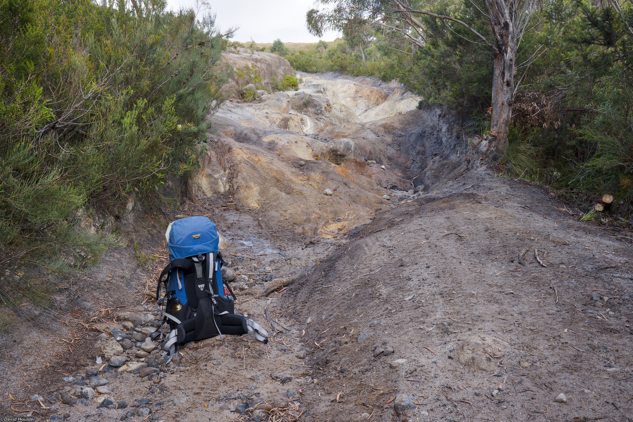
A heavily eroded vehicle track on a steep, shrubby hillside with a hiking pack sitting nearby

Parts of the track are very badly eroded.

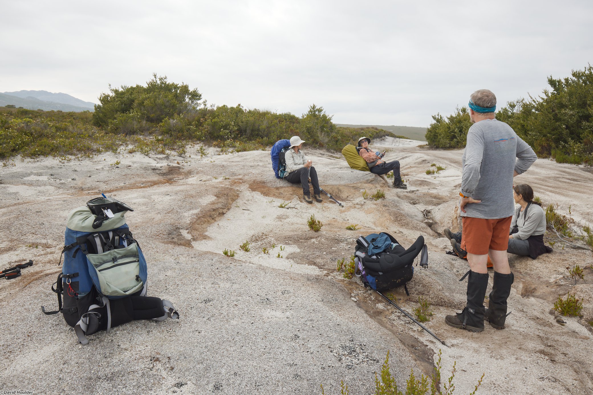
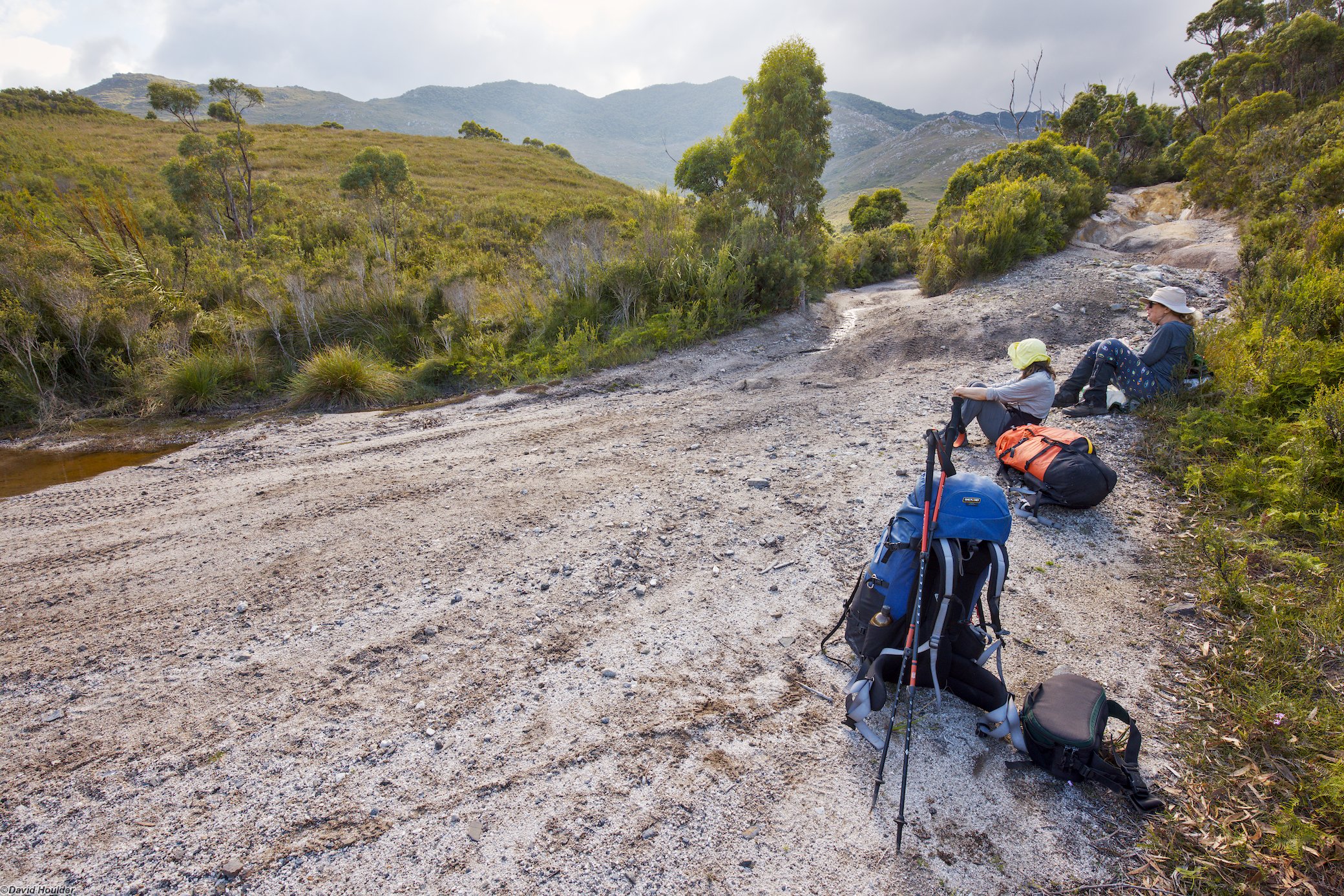
Walkers sitting beside a sandy vehicle track in a shrubby landscape with hiking packs and walking poles nearby, and a mountain range in the distance
A sandy vehicle track winding through a shrubby landscape with a mountain range behind
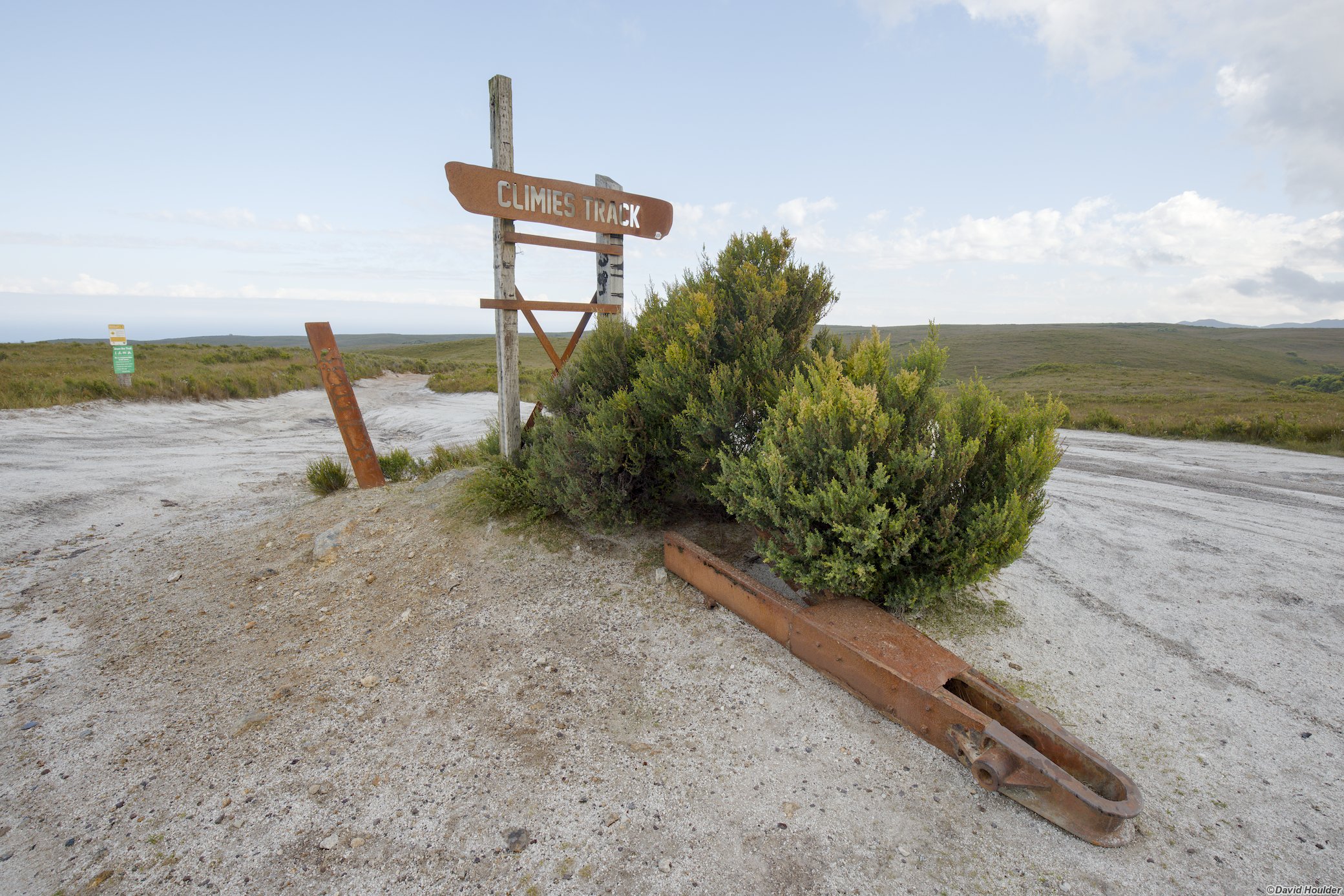
A wood and rusted steel signpost structure denoting "Climies Track" in cut-out letters  in a  sandy clearing with shrubs

Just above Trial Harbour. This is where we left the cars for the trip back to Corinna, where we spent a final night.