Jindabyne to Falls Creek and back
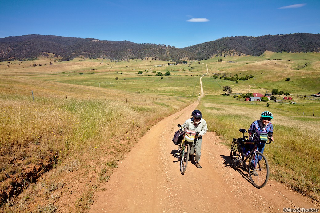
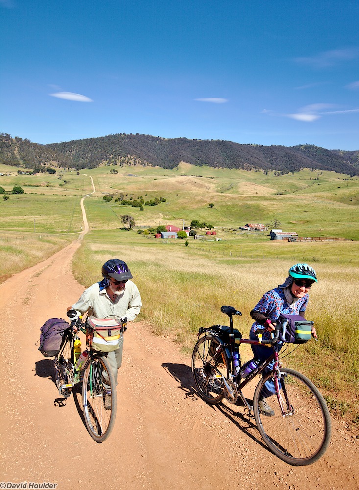
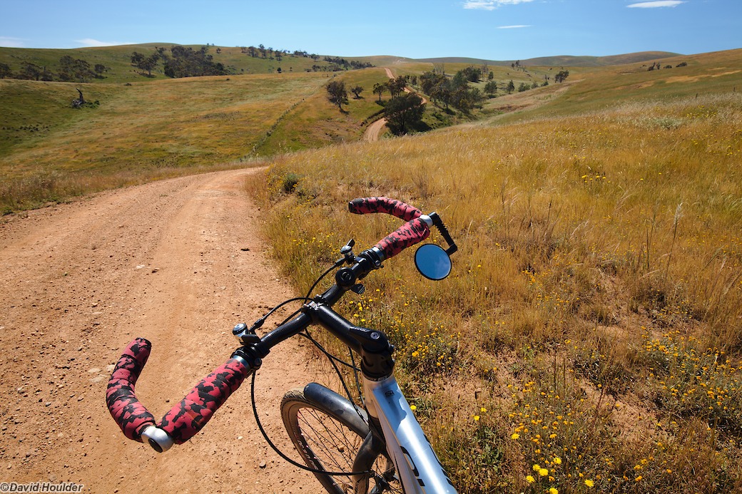
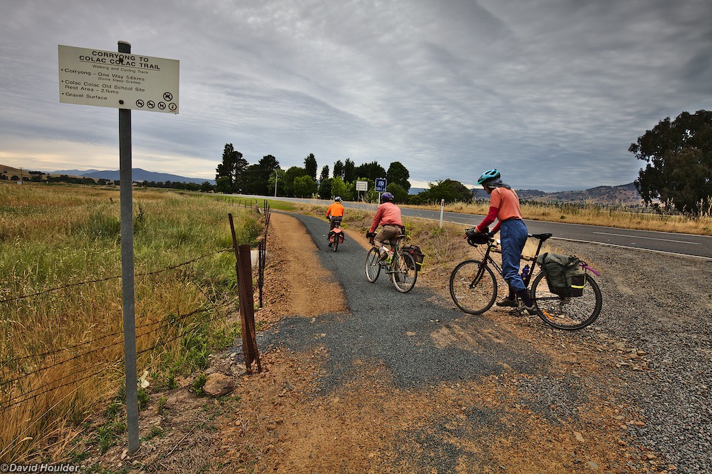
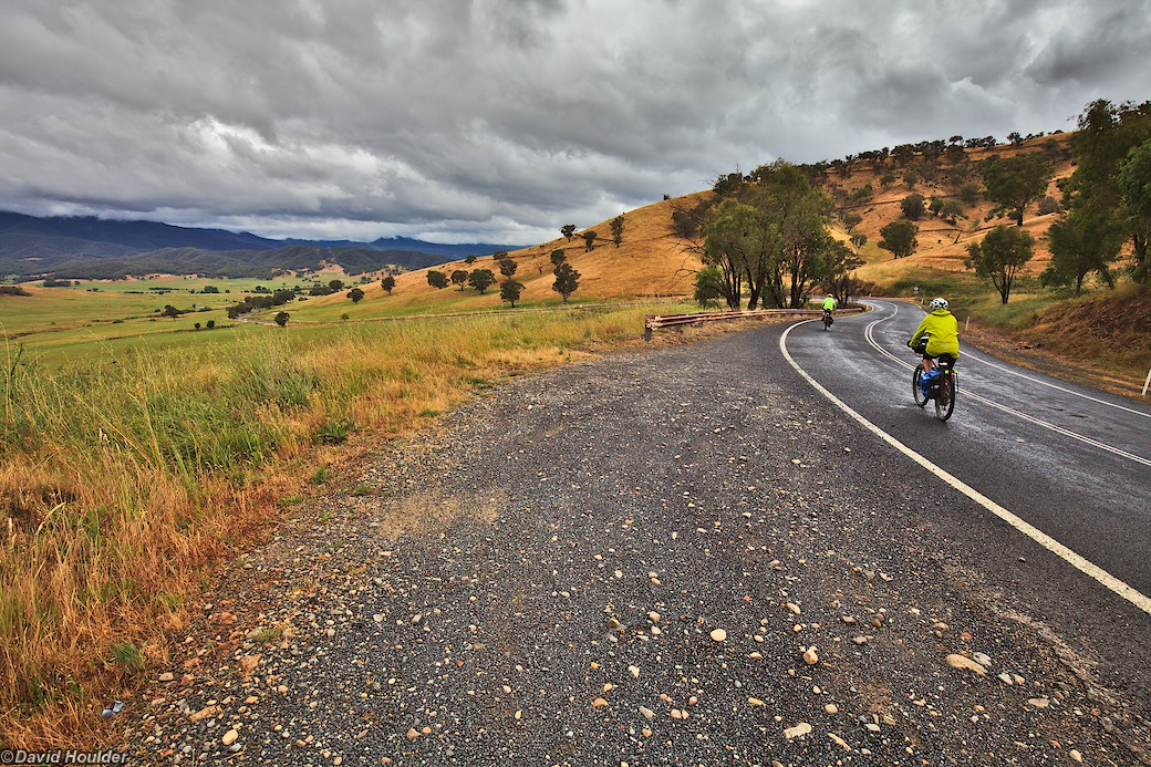
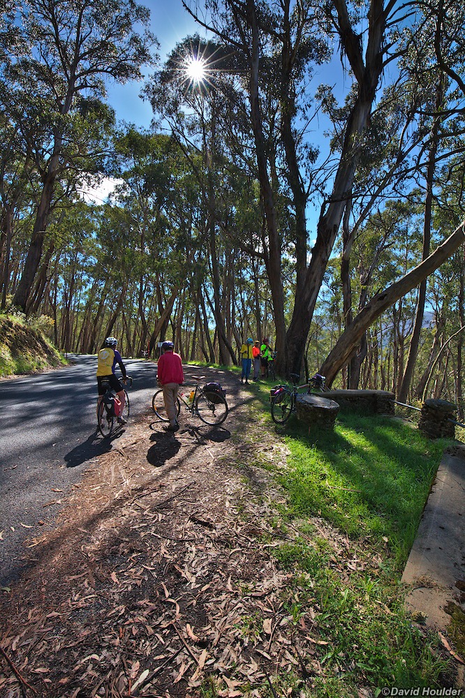
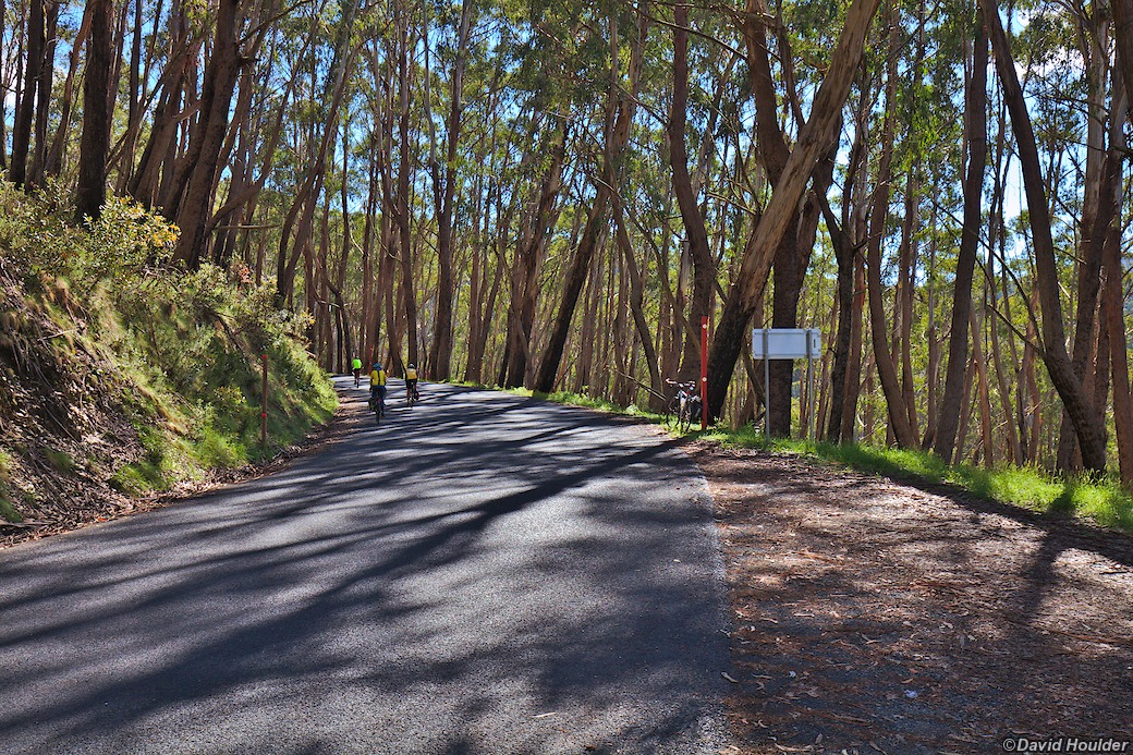
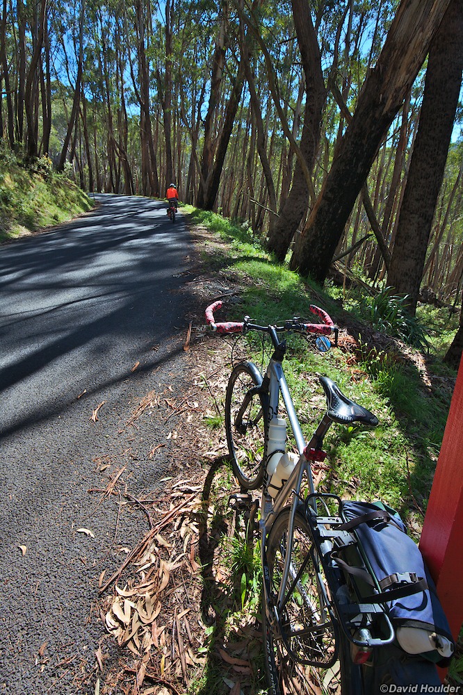
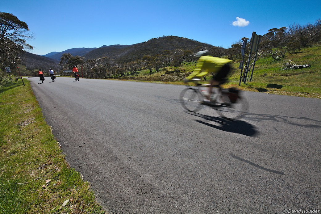
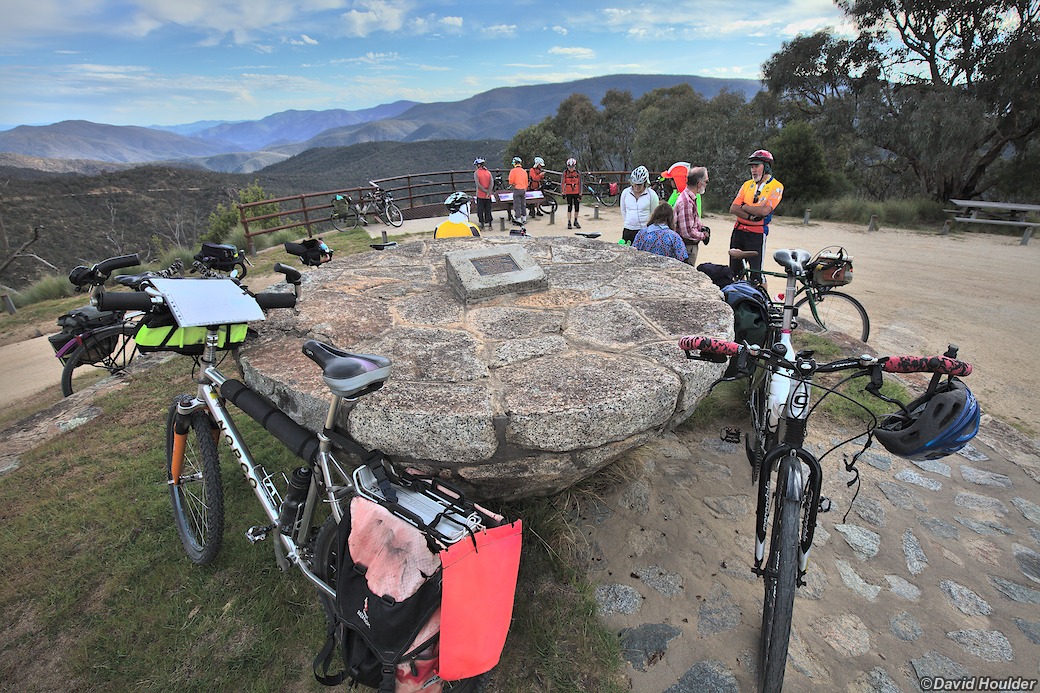
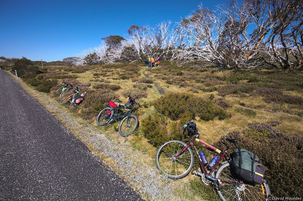
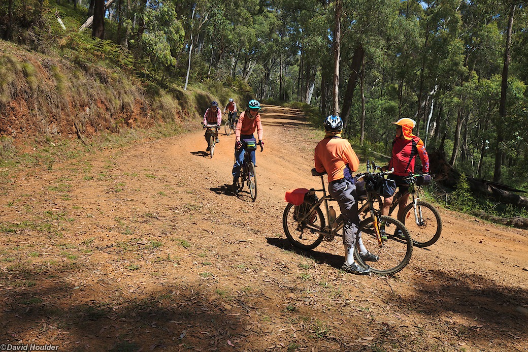
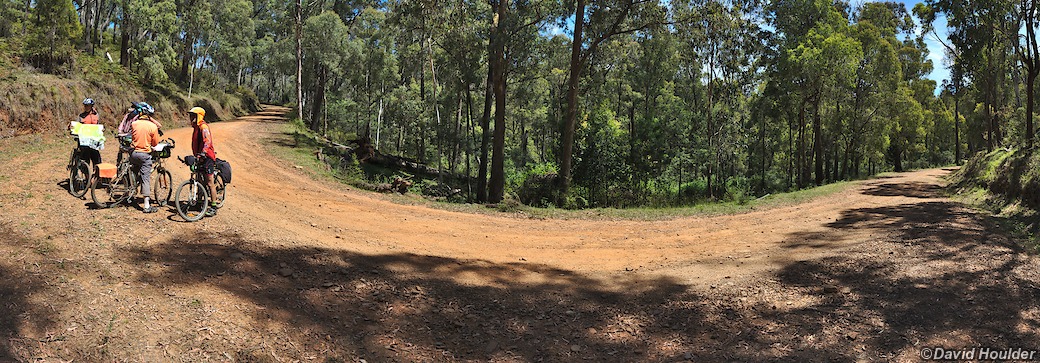
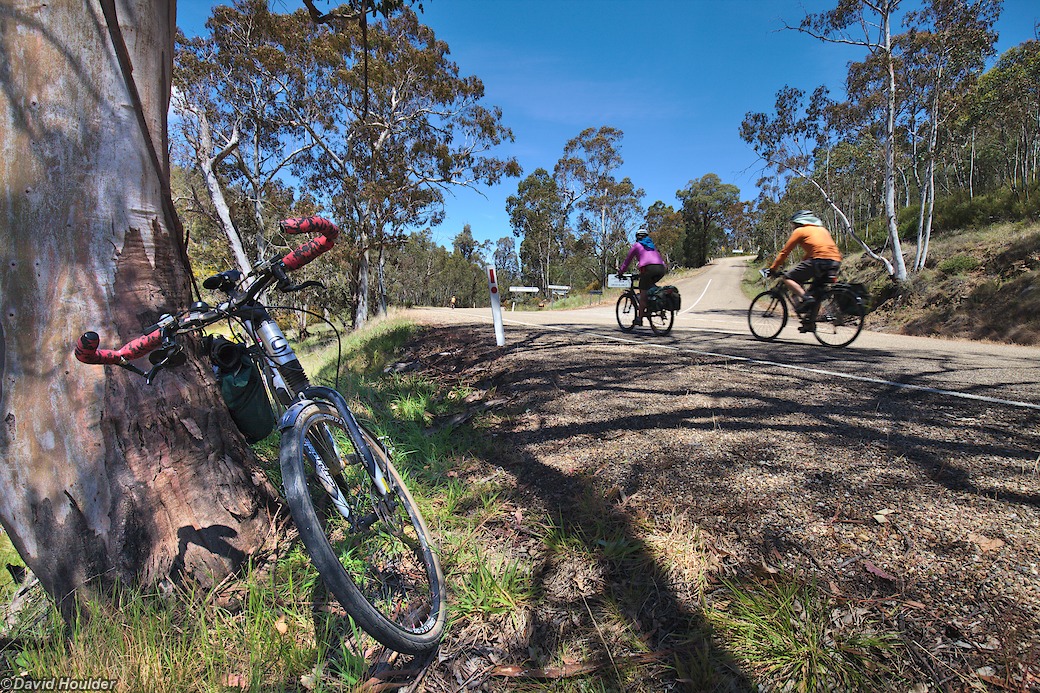
The 2014 PedalPower "Spring Mountain Tour" was a 700km ride through the New South Wales and Victorian high country. There was a fair bit of hill climbing on this trip, including a 1000m ascent from Omeo to Falls Creek, but of course this means there were a good number of long downhill stretches too.
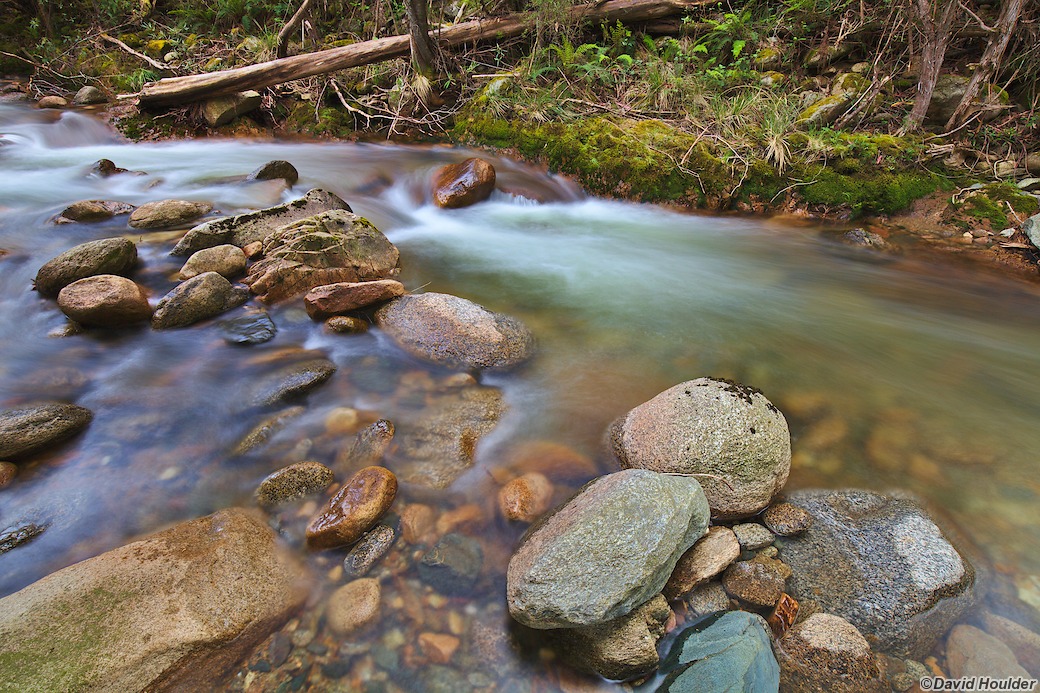
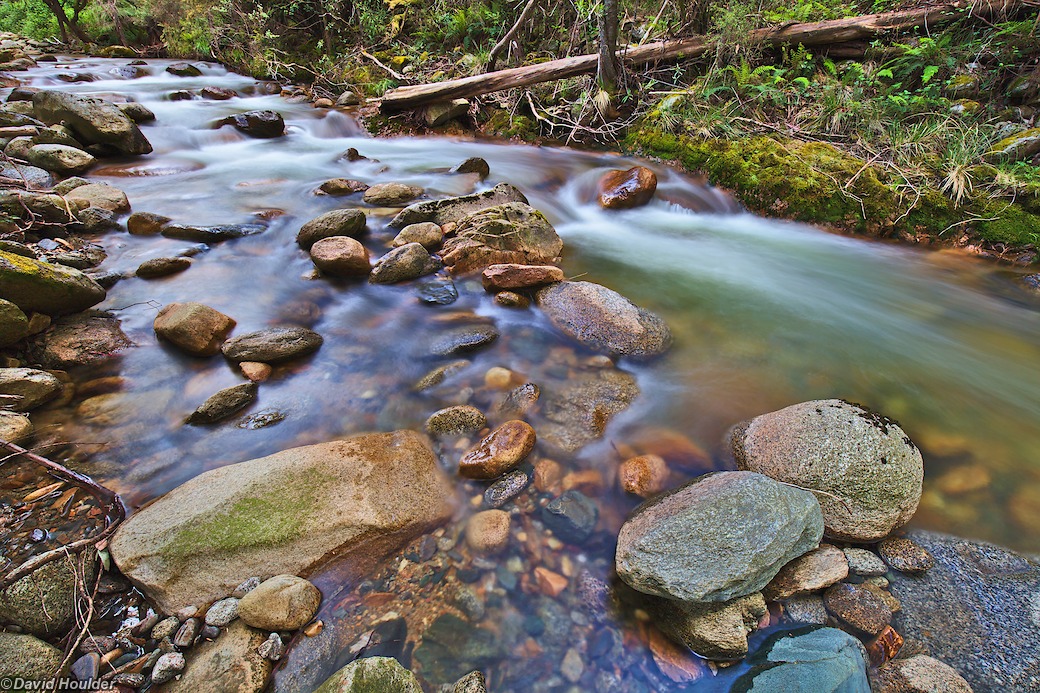
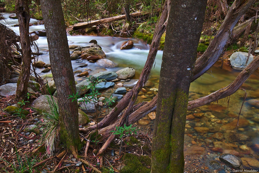
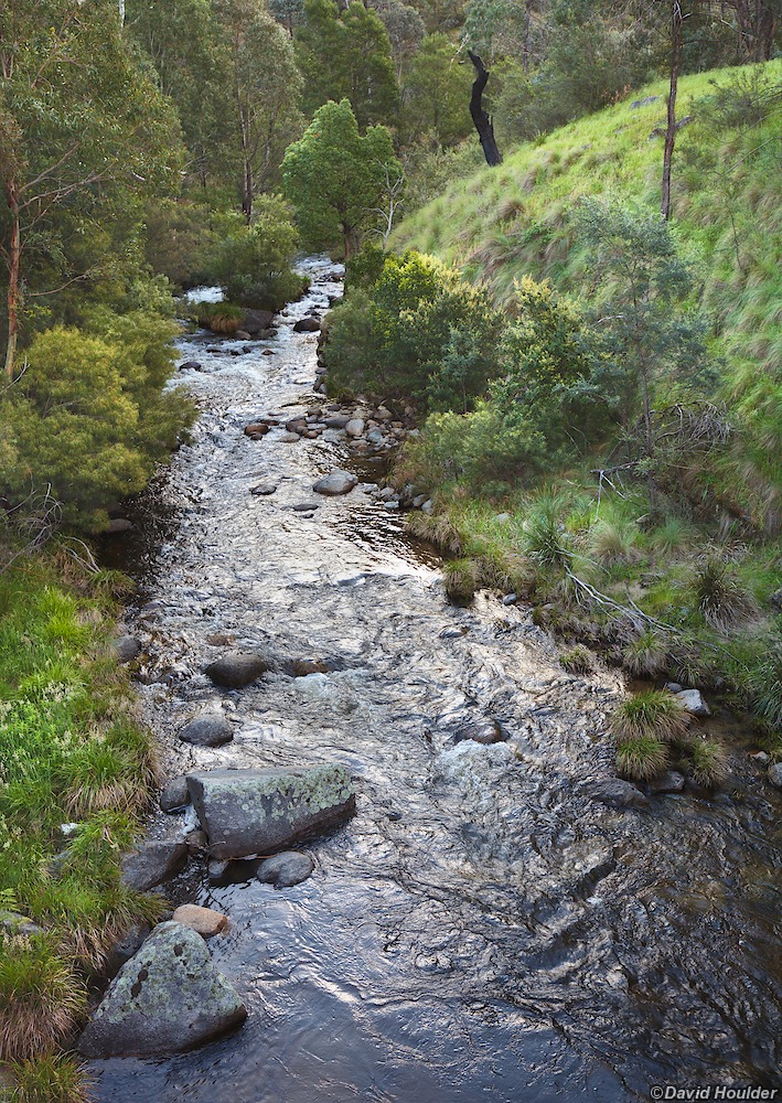
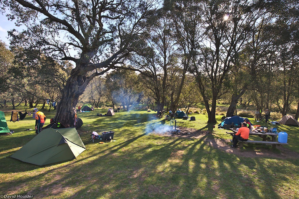
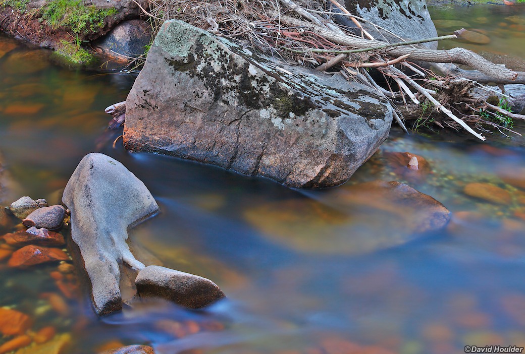
Most of the camping was in free campgrounds beside clear mountain streams. To my surprise, most of these were warm enough to swim in, even in November, not long after the snow had melted.
The itinerary 🔗
- Day 1: Jindabyne to Jacobs River campground
- Day 2: Jacobs River to Suggan Buggan campground
- Day 3: Suggan Buggan to Native Dog Flat
- Day 4: Native Dog Flat to Omeo, with a decent break for lunch, icecreams and coffee in Benambra
- Day 5; A long climb from Omeo to Falls Creek
- Day 6: A rest day in Falls Creek. Thanks to Dave Thomson for accommodation in the lodge there, and thanks to John Wilson for winning two chooks at the Omeo pub, which, with a bit of embellishment and imagination, made a hearty meal for the night.
- Day 7: Falls Creek to Mountain Creek campground
- Day 8: Mountain Creek to Lightning Creek Reserve, stopping at Mitta Mitta for (you guessed it) lunch, icecream and coffee.
- Day 9: Lightning Creek to Anglers Rest
- Day 10: Anglers Rest to Ah Sye campground on the Gibbo River via an inadvisable shortcut and the by-now familiar refreshments in Benambra.
- Day 11: Gibbo River to Staceys Bridge campground on the Nariel River
- Day 12: Nariel River to Corryong. A short day, and a chnace to stock up on supplies in Corryong.
- Day 13: Corryong to Geehi Flats campground on the Swampy Plain River*. Obligatory coffee and scones in Khancoban
- Day 14: Geehi Flats to Leatherbarrel Creek campground. Pretty easy day.
- Day 15: A climb from Leatherbarrel Creek to Dead Horse Gap, a brief stop at the Thredbo bakery and then back down to Jindabyne... where there just happened to be another bakery.
Thanks again to Richard Bush for doing most of the organising.
* Not even remotely swampy. Really nice actually
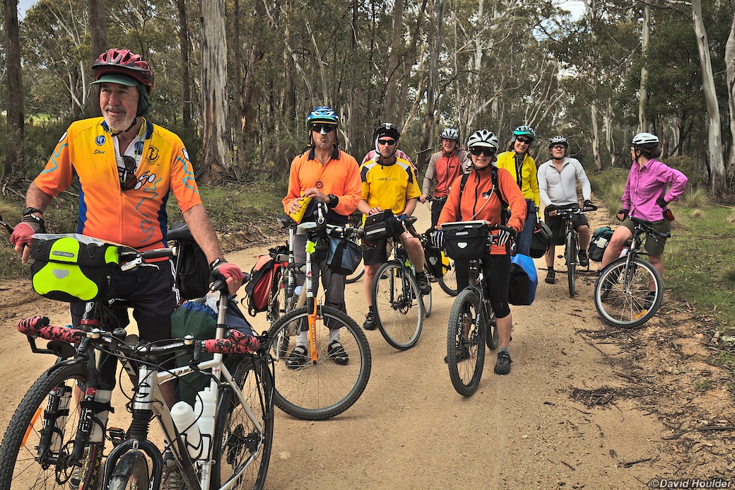
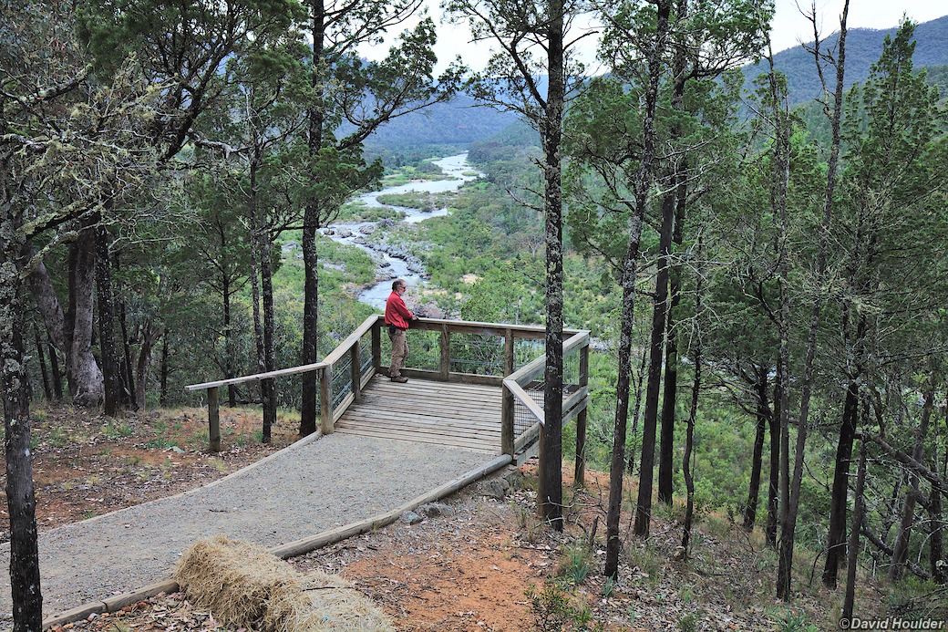
The Barry Way follows the Snowy River across the Victorian border.
I've always been puzzled by the reference to "pine-clad ridges" in The Man from Snowy River. After all, if you go "down by Kosciusko", you'll see alpine shrubs, grassland plants and snow gums - none of which could be mistaken for pines . However, here along the Snowy there are plenty of Cypress Pines (Callitris).
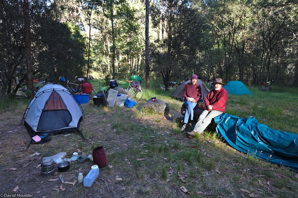

Another great free campsite by a river, with the added benefit that the Blue Duck Inn is a few hundred metres up the road so you can get a meal, coffee or even a room if you so desire.
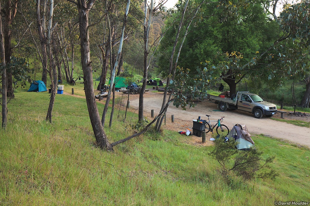
Here you can see our support vehicle and the plastic boxes that most of our gear was carried in. Behind the ute, obscured by a tree branch, is the trailer that carried most of the boxes.
