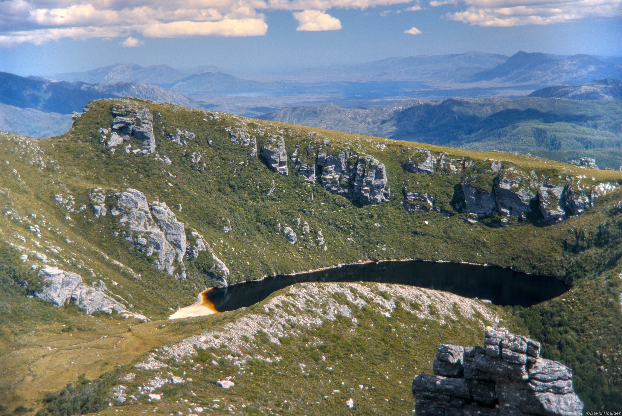
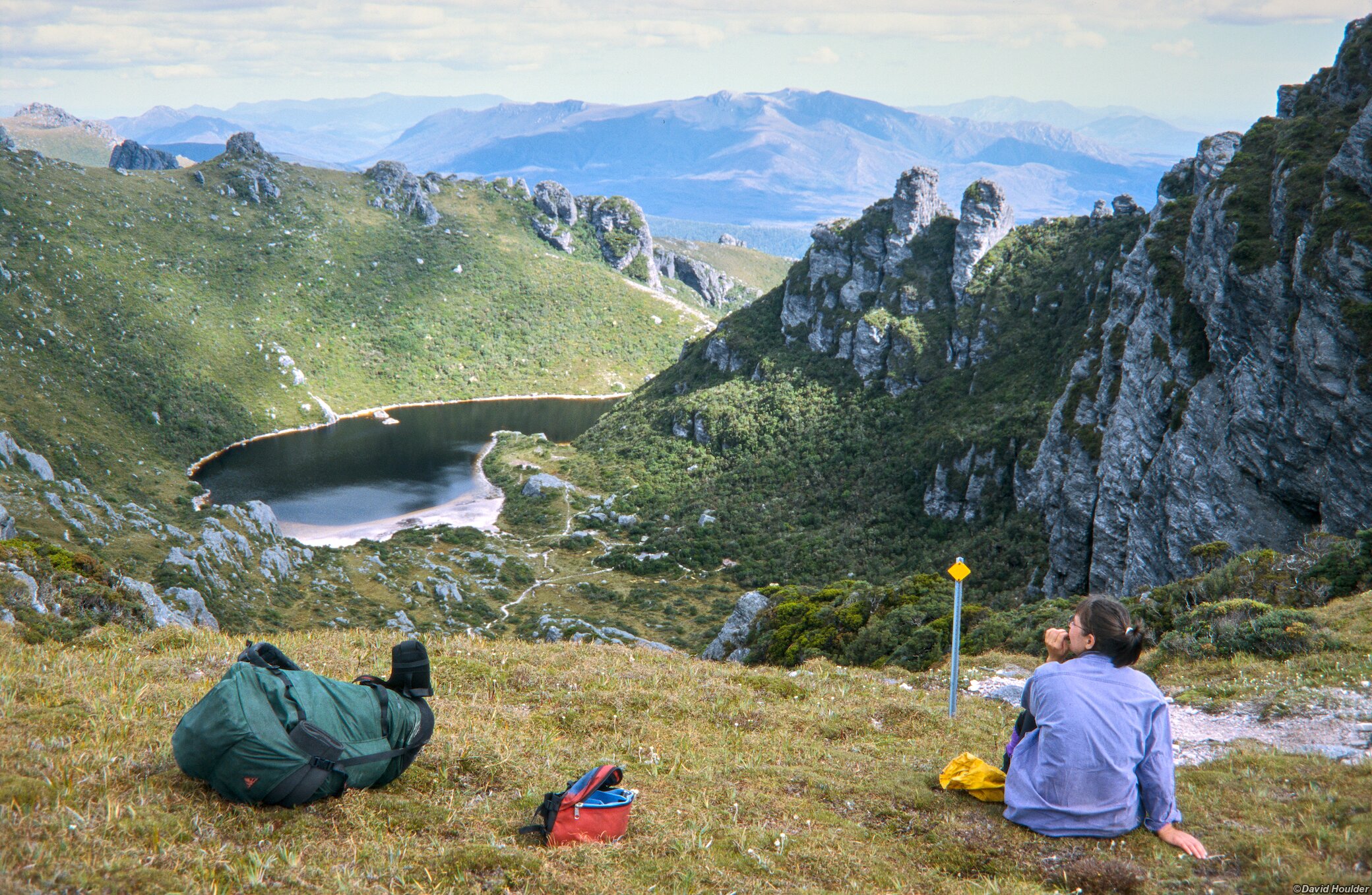
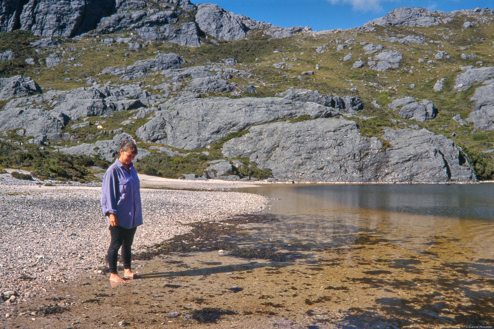
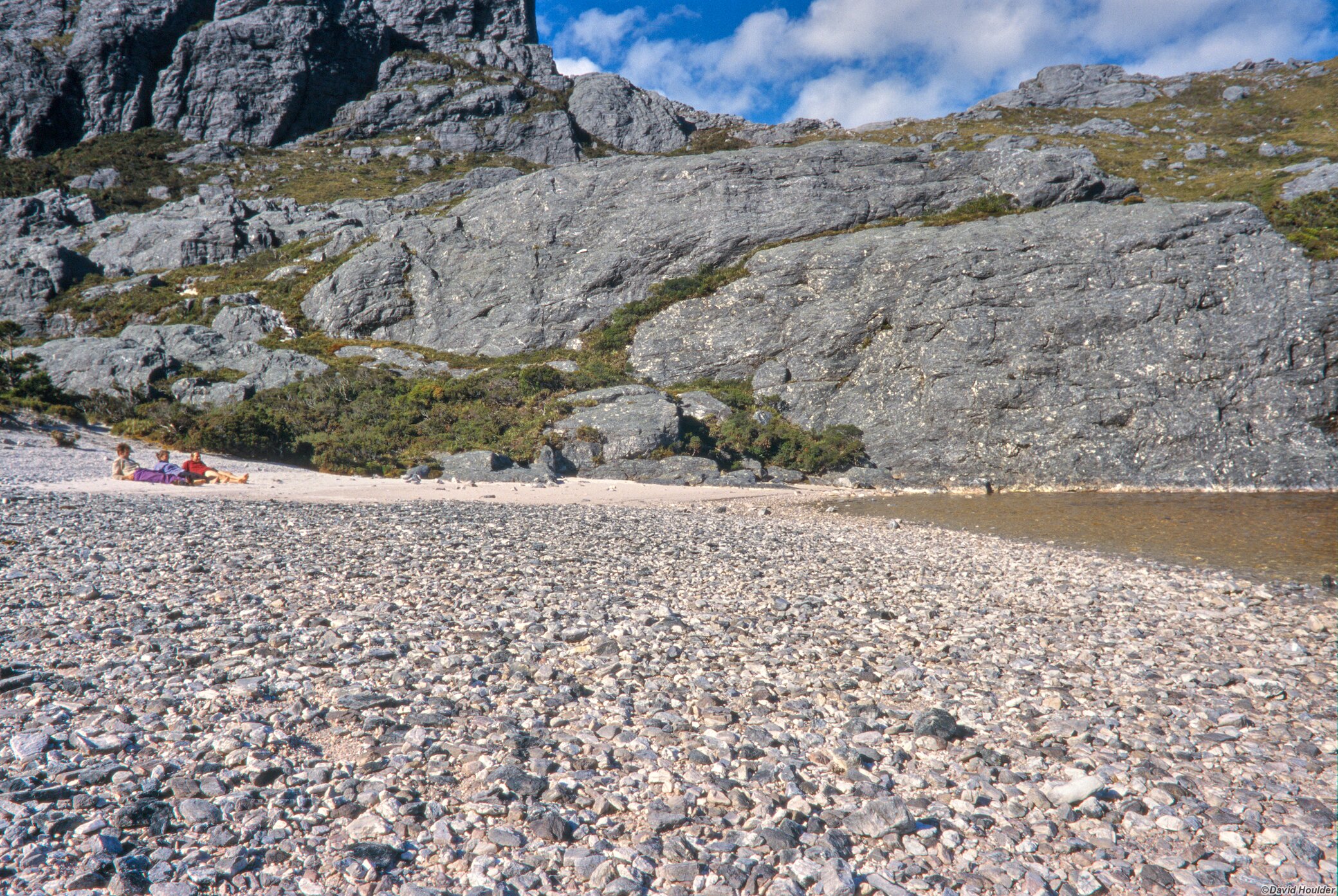
Lake Cygnus
This is a 4 day walk in south-west Tasmania from Scotts Peak Dam to Lake Cygnus and return. Lake Cygnus is one of the many lakes found in the cirques of the Western Arthur range.
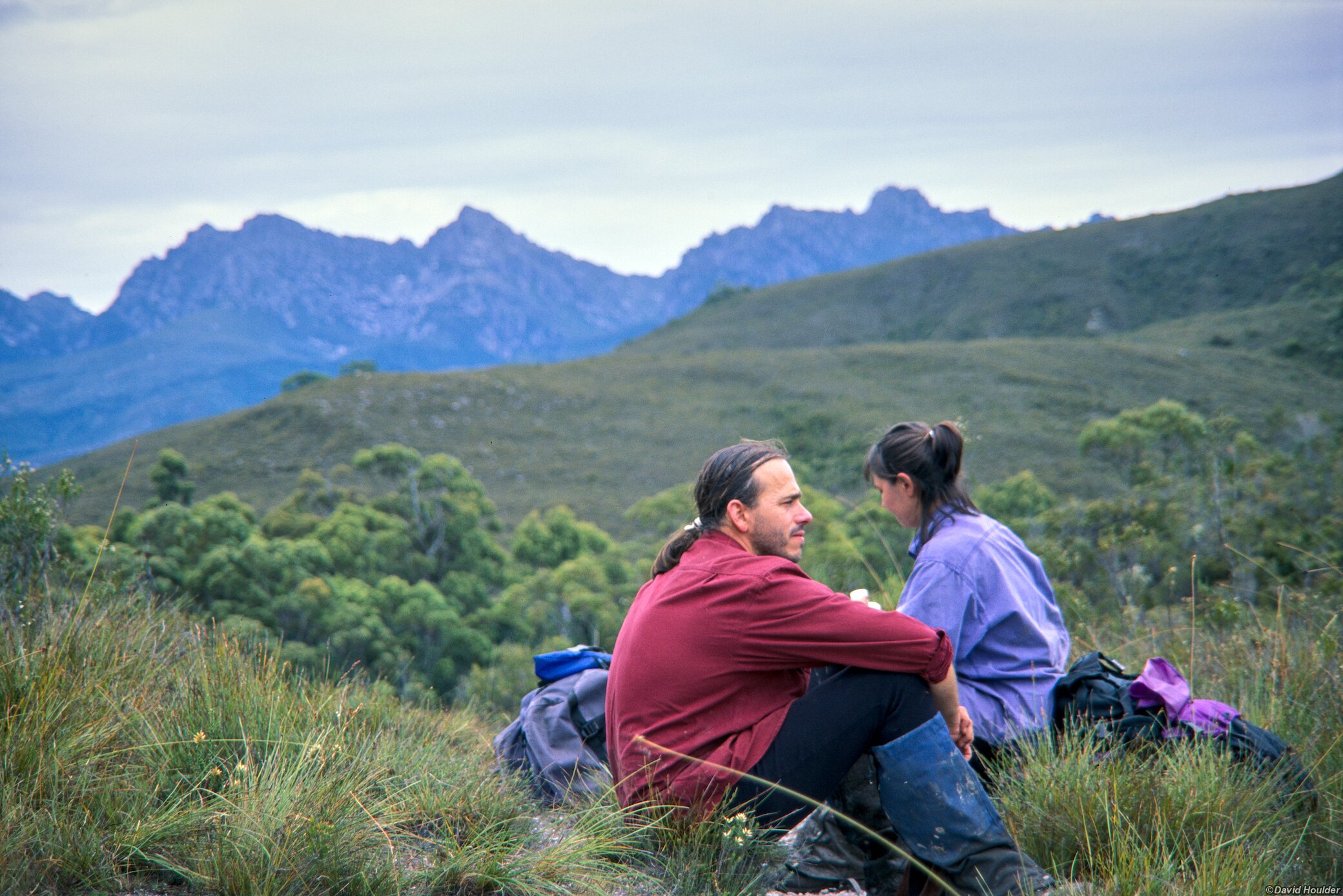
This walk was done in 1999, but according to current maps the route has basically not changed. See the official Western Arthur Range Traverse page for more details. Some parts were (and probably still are) very boggy, so bring your gaiters. The complete Western Arthurs traverse has some tricky parts, but as far as I recall, the route to Lake Cygnus from Scotts Peak Dam does not have any really precarious sections. The first and last campsites were at Junction Creek, and the second campsite was at Lake Cygnus.
All these images were shot on 35mm Fujichrome 100 and "scanned" with a film copying adaptor and macro lens in 2025.
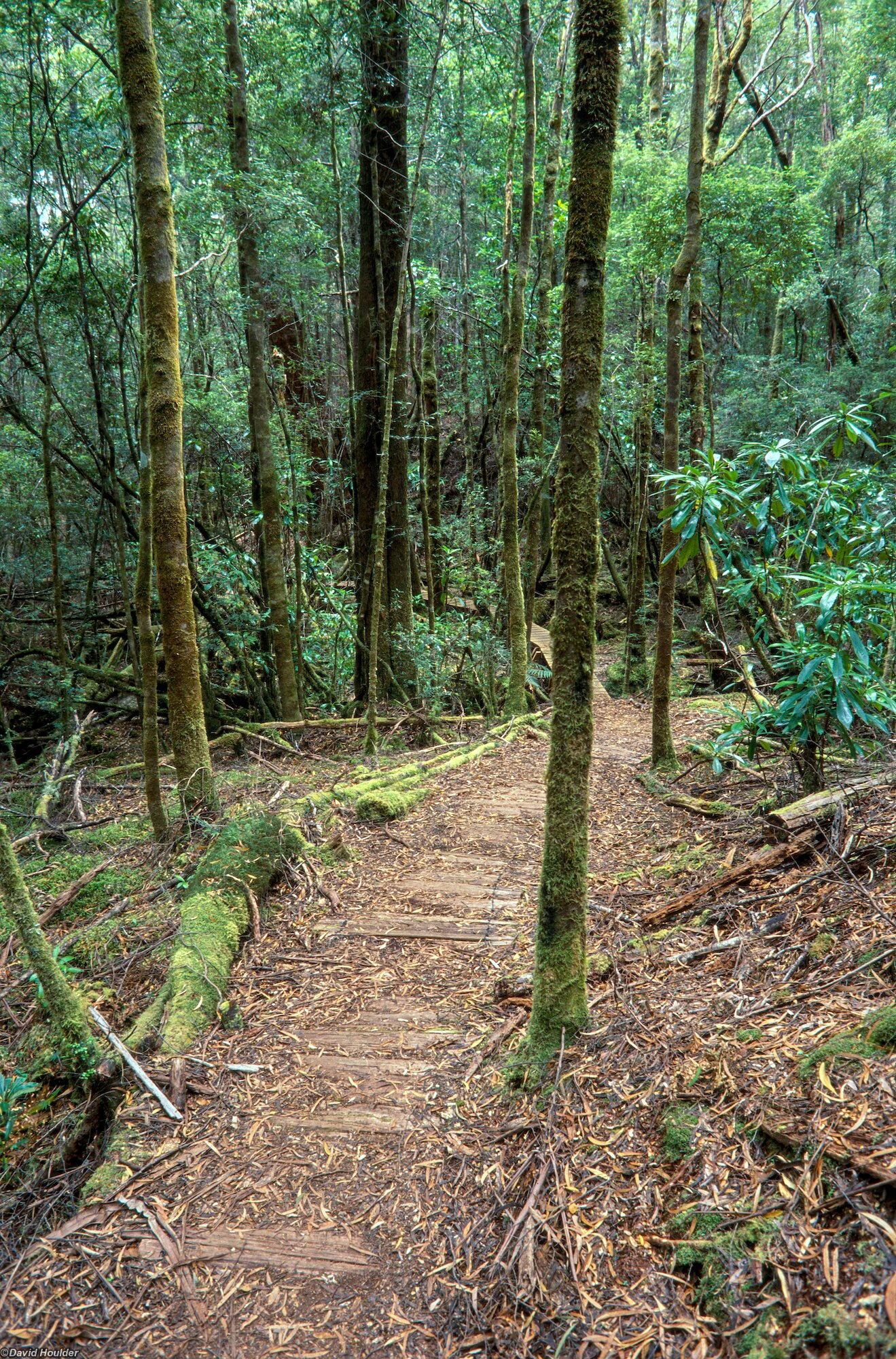
A lot of the Port Davey track can be quite boggy, but this part near Scotts Peak Dam was pretty good.
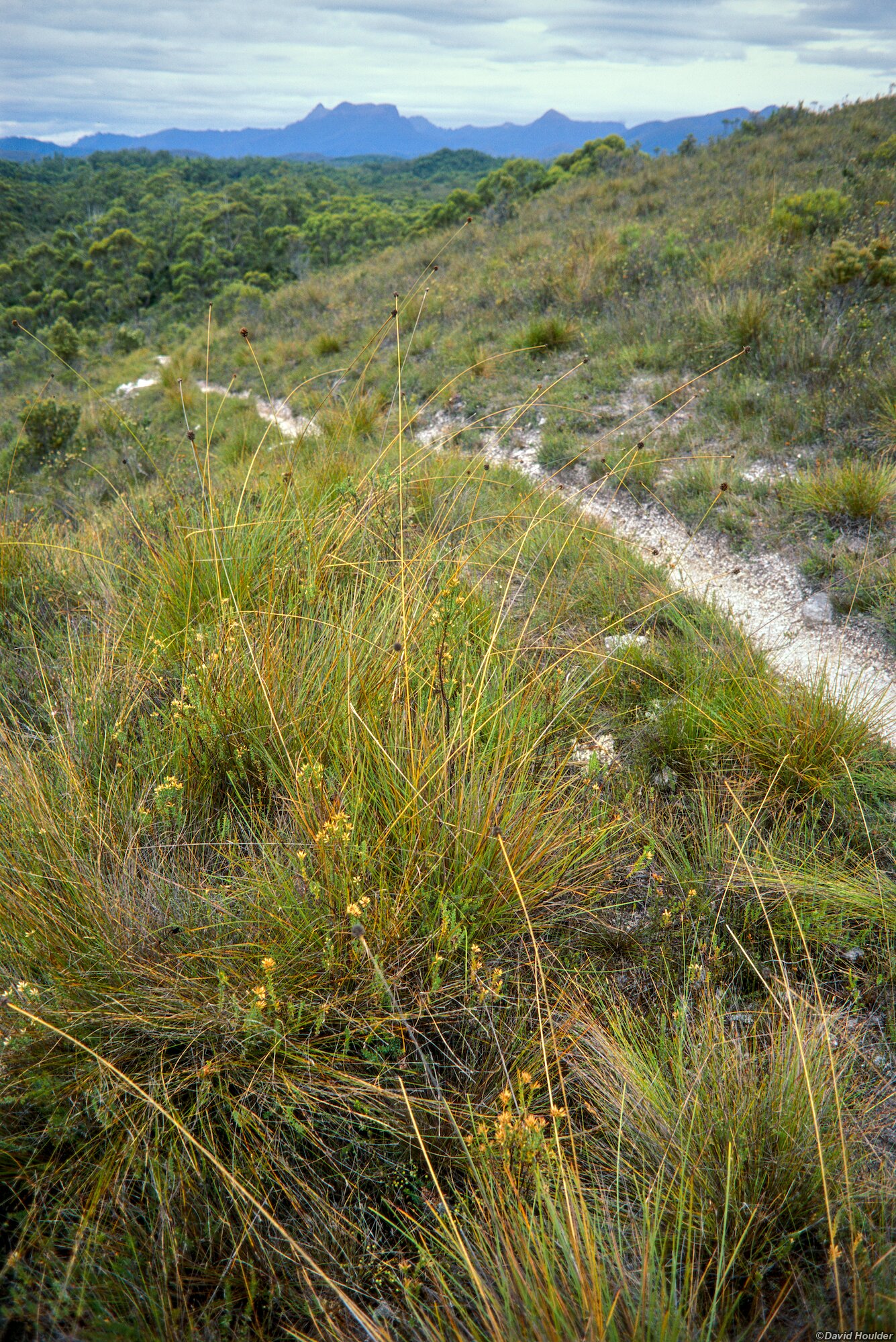
This is the main access track to the north-west end of the Western Arthurs..
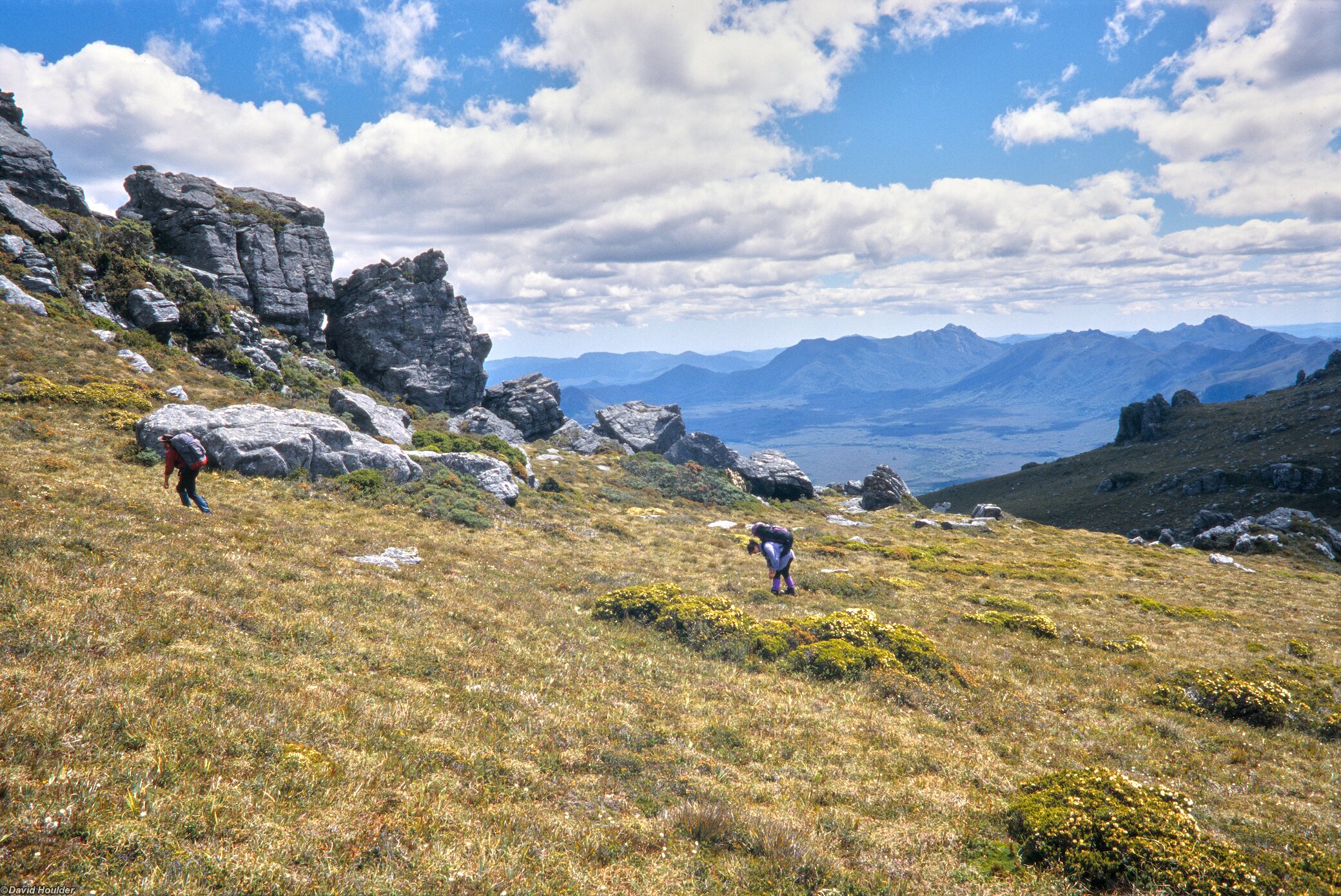
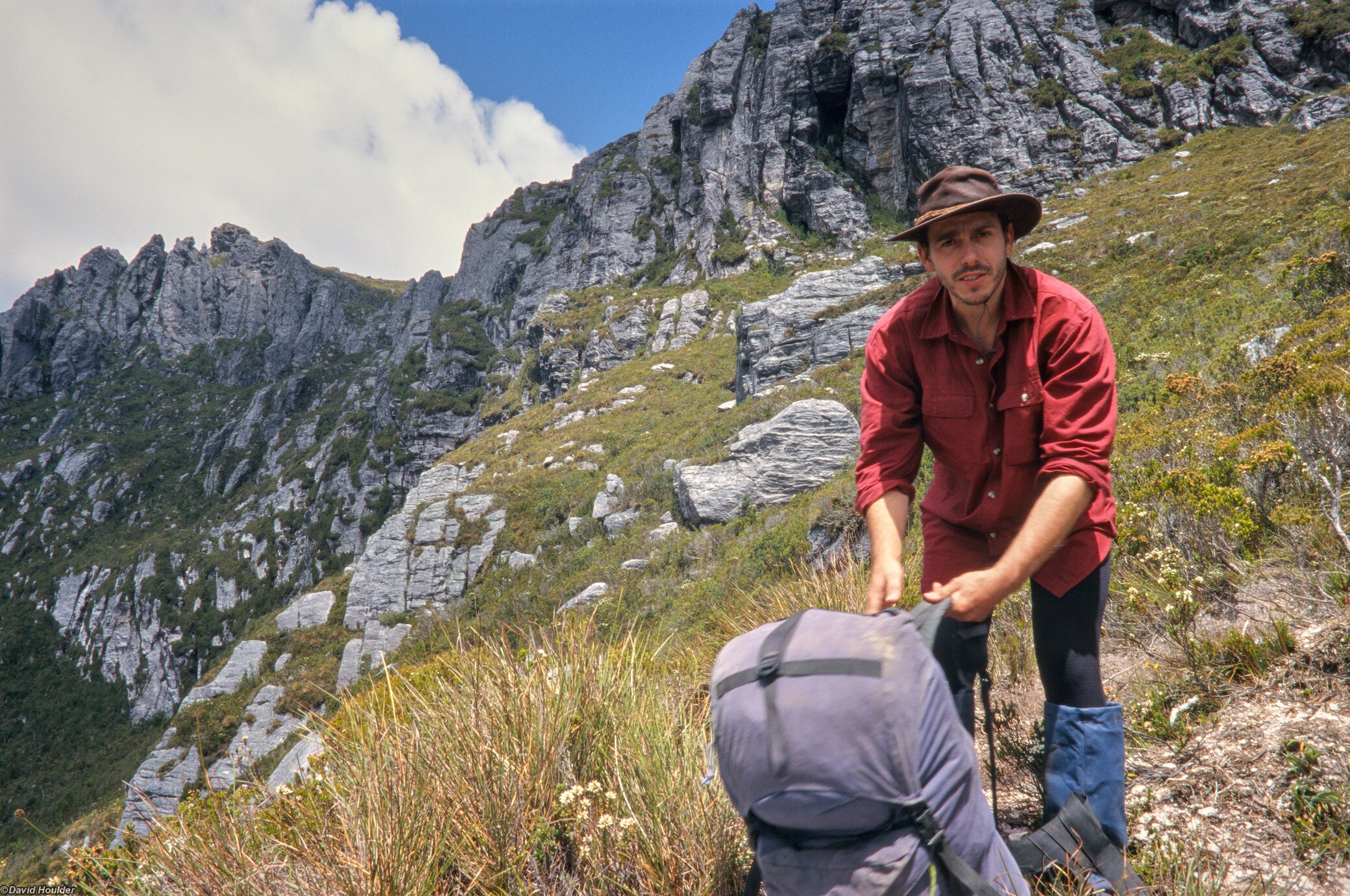
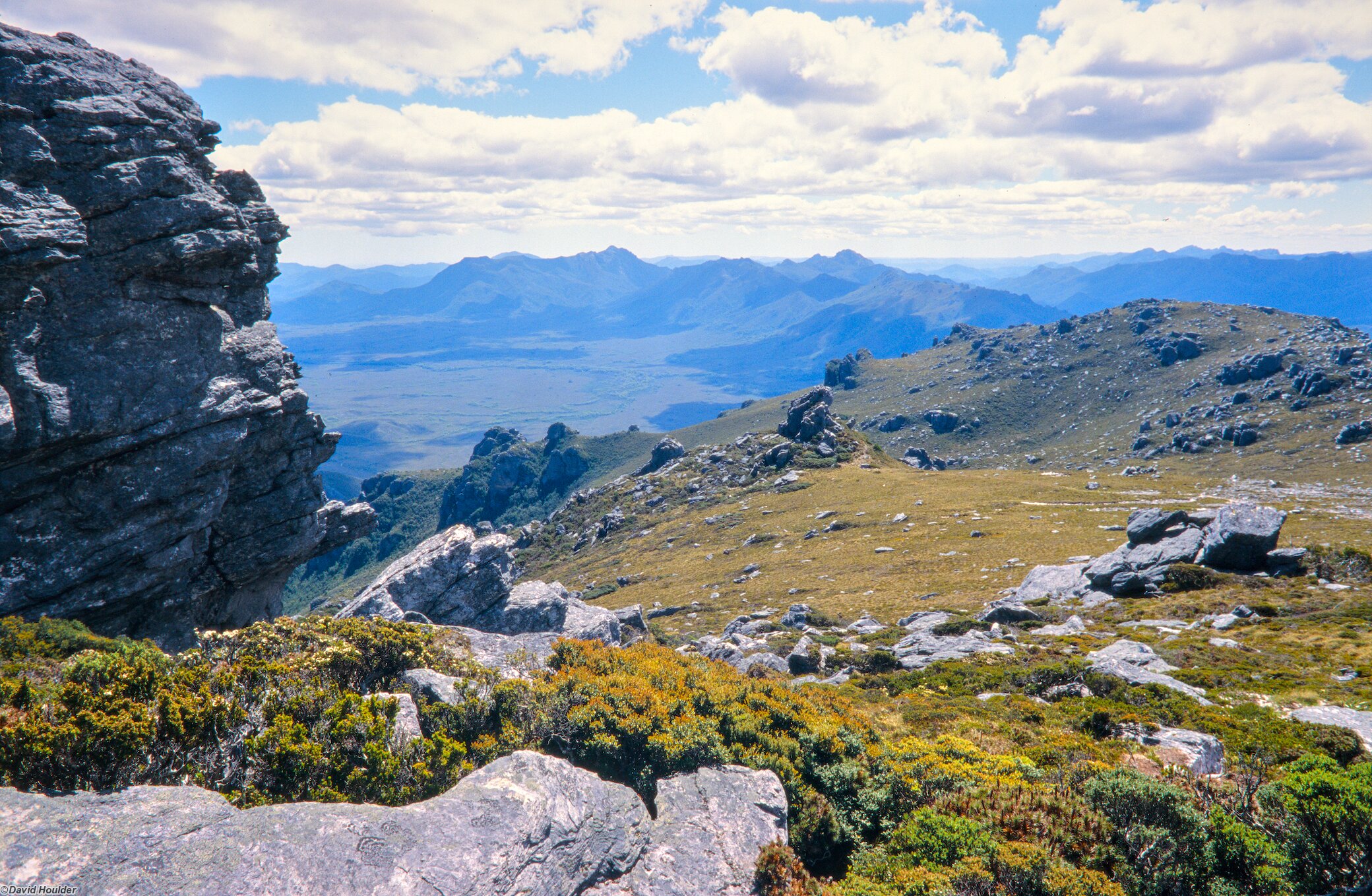
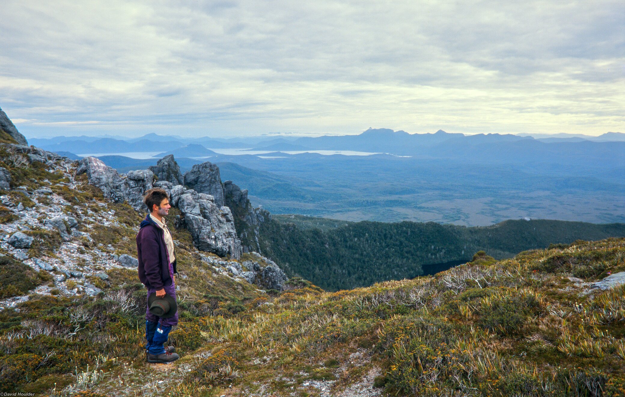
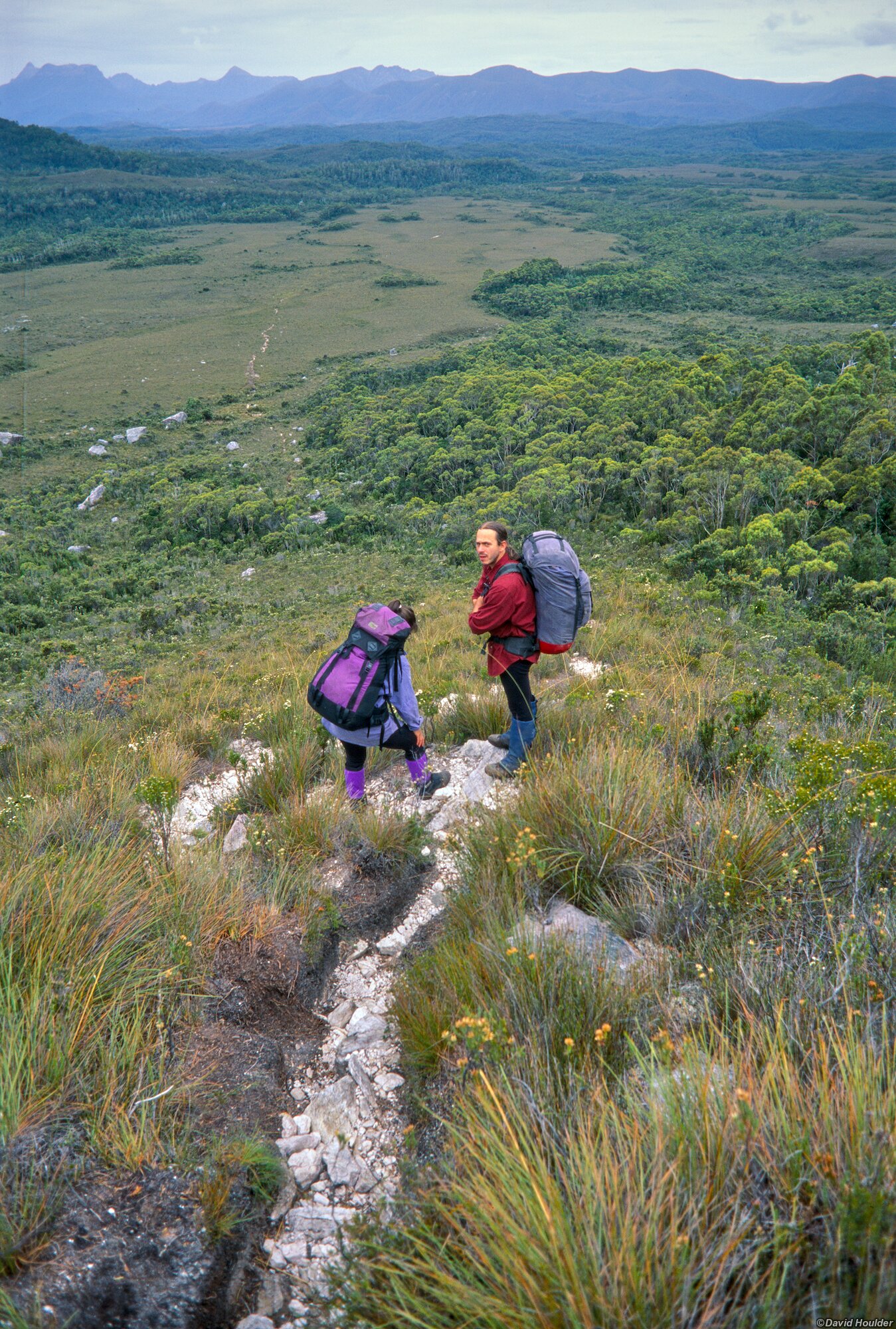
At the top of Moraine A the track heads south east along the spine of the Western Arthur Range.
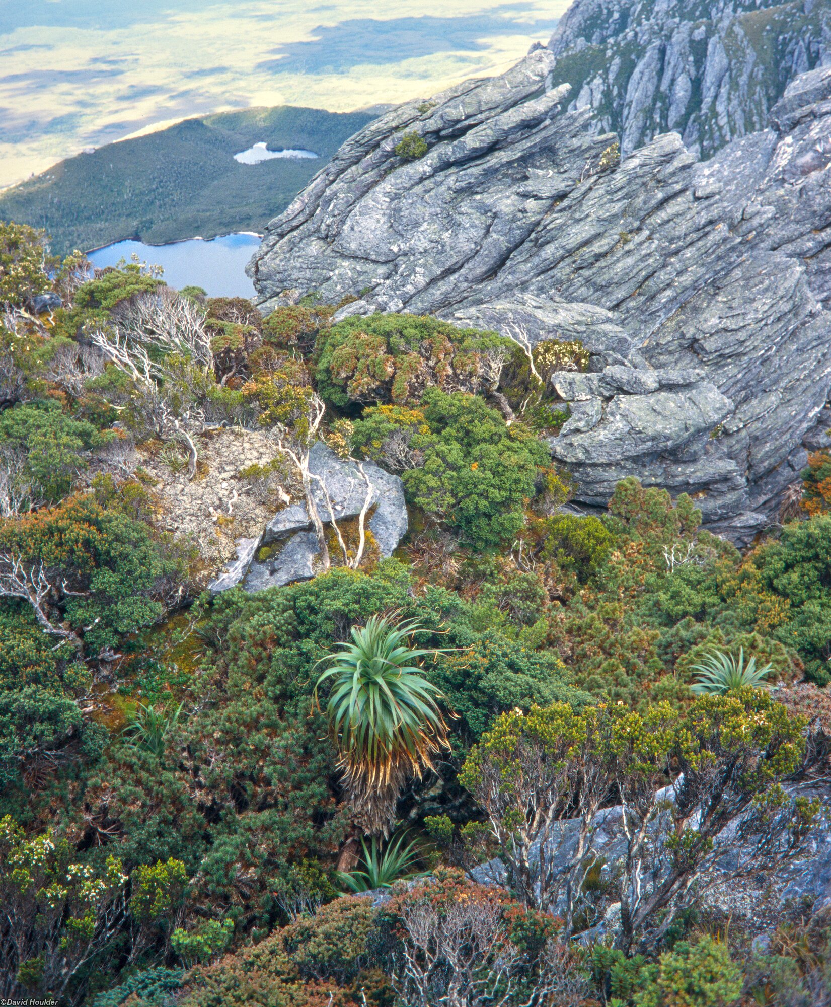
As with many walks in Tasmania, be prepared for some spiky scoparia scrub. Another reason to bring your gaiters.
The track to the Lake Cygnus campsite branches off the main track here.
Heading back towards Scotts Peak Dam