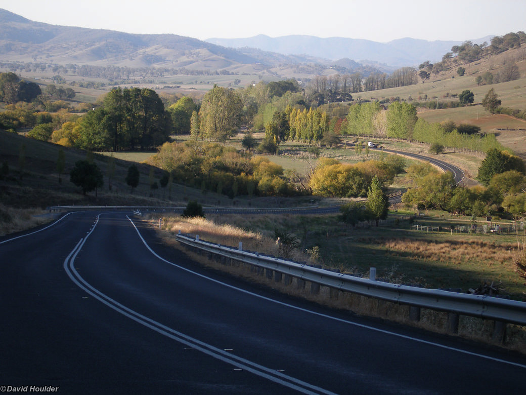
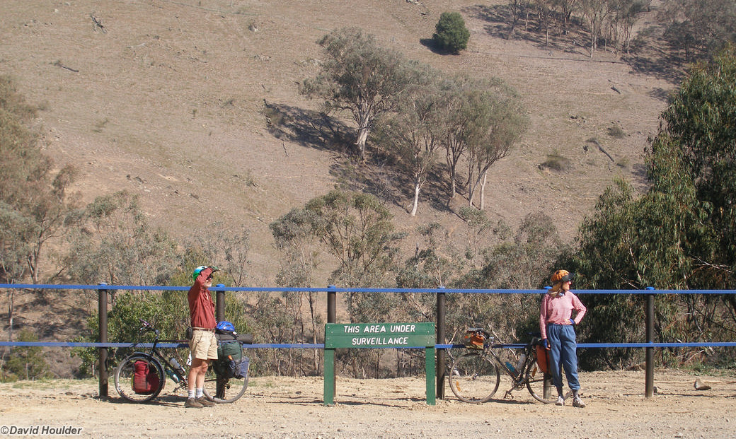
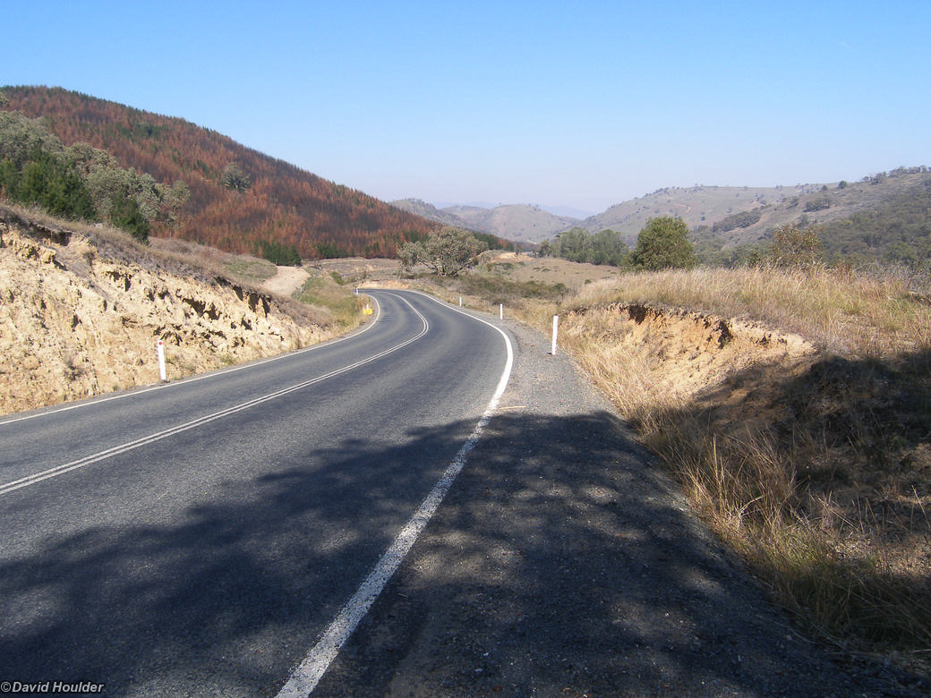
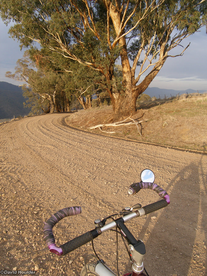
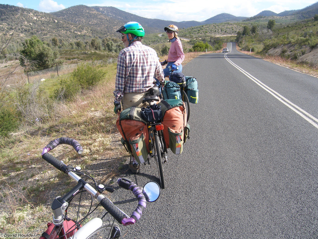
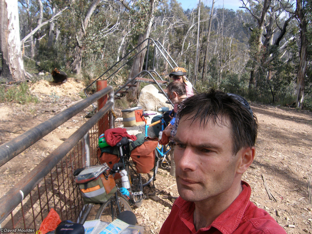
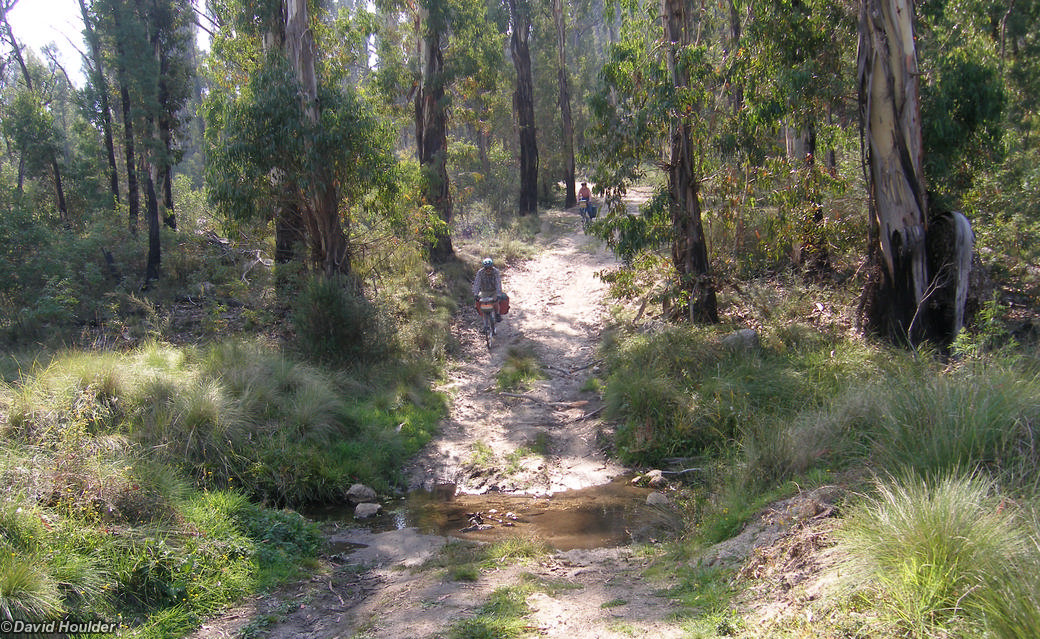
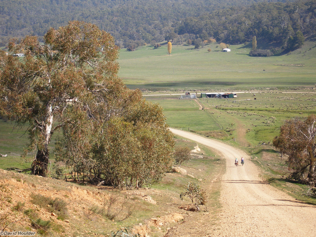
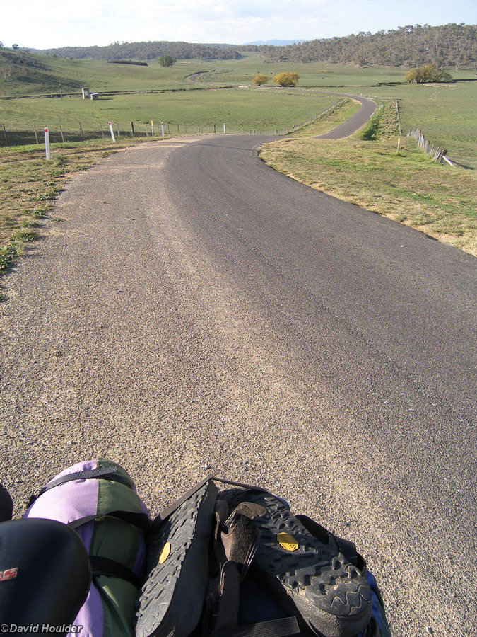
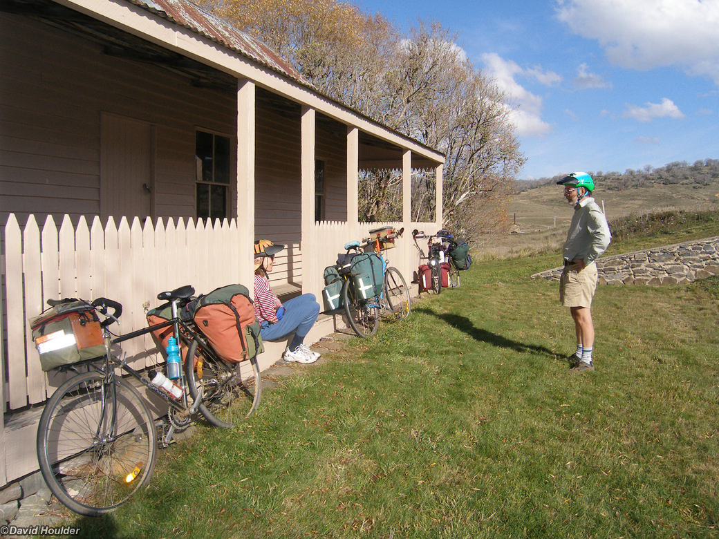
It doesn't look like a big trip on this map, but it's a pretty solid 8 day trip by bicycle. Most days were fairly hilly, and the bit from Three Mile Dam near Kiandra to Tumbarumba involves a big descent and subsequent climb.
Alpine loop
![Corin dam road](/_media/ext/cycle-tours/alpine-loop/corin-dam-road-2x.jpg)
On the way to Woods Reserve on the first day out of Canberra. Here we see Doug and Silke, my companions for this trip.
![Smokers Trail gate](/_media/ext/cycle-tours/alpine-loop/smokers-trail-gate-2x.jpg)
The start of the Namadgi National Park leg of the trip.
![Smokers Trail](/_media/ext/cycle-tours/alpine-loop/smokers-trail-2x.jpg)
The bottom of Smokers Trail where it crosses the Orroral River - really just a creek at this point.
![Orroral River](/_media/ext/cycle-tours/alpine-loop/orroral-2x.jpg)
As I said, really just a creek here.
![To the Cotter](/_media/ext/cycle-tours/alpine-loop/to-cotter-2x.jpg)
Heading towards the Cotter River.
![Cotter River](/_media/ext/cycle-tours/alpine-loop/cotter-2x.jpg)
The headwaters of the Cotter River.
![Cotter fire trail](/_media/ext/cycle-tours/alpine-loop/cotter-fire-trail-2x.jpg)
Cotter fire trail near the southern end of Namadgi.
![Creek crossing](/_media/ext/cycle-tours/alpine-loop/to-yaouk-2x.jpg)
Crossing a creek on the Cotter fire trail.
![Noonameena hut](/_media/ext/cycle-tours/alpine-loop/noonameena-hut-2x.jpg)
Noonameena hut on the NSW/ACT border.
![Yaouk 1](/_media/ext/cycle-tours/alpine-loop/yaouk-1-2x.jpg)
Here we are at Yaouk (pronounced Yie-ack as far as I know). The further south we go the greener it gets.
![Old Yaouk](/_media/ext/cycle-tours/alpine-loop/yaouk-2-2x.jpg)
Yaouk seems to specialise in recycling old appliances as road signs. The next farm along uses an old fridge for their sign.
![Yaouk still](/_media/ext/cycle-tours/alpine-loop/yaouk-3-2x.jpg)
The flat bit of Yaouk.
![From Yaouk to Adaminaby](/_media/ext/cycle-tours/alpine-loop/yaouk-4-2x.jpg)
![Near Adaminaby](/_media/ext/cycle-tours/alpine-loop/to-adaminaby-2x.jpg)
![Adaminaby](/_media/ext/cycle-tours/alpine-loop/adaminaby-2x.jpg)
In case you didn't know, you can go trout fishing near Adaminaby.
![Large scale fish](/_media/ext/cycle-tours/alpine-loop/big-fish-2x.jpg)
![Near Kiandra 1](/_media/ext/cycle-tours/alpine-loop/near-kiandra-1-2x.jpg)
On the highway near Kiandra is a stand of tall, dead trees, presumably killed in the 2003 fires. You can see their offspring sprouting in the foreground.
![Near Kiandra 2](/_media/ext/cycle-tours/alpine-loop/near-kiandra-2-2x.jpg)
Another view of the burnt trees near Kiandra.
![Kiandra](/_media/ext/cycle-tours/alpine-loop/kiandra-2x.jpg)
A great spot for lunch beside the highway at Kiandra.
![Three Mile Dam](/_media/ext/cycle-tours/alpine-loop/3-mile-dam-2x.jpg)
The sunrise from my tent at Three Mile Dam.
![Batlow](/_media/ext/cycle-tours/alpine-loop/batlow-2x.jpg)
Orchards near Batlow.
![To Tumut](/_media/ext/cycle-tours/alpine-loop/to-tumut-2x.jpg)
On the highway to Tumut.
![Surveillance](/_media/ext/cycle-tours/alpine-loop/surveillance-2x.jpg)
A strange rest area beside the road from Tumut to Wee Jasper.
![Burnt pines](/_media/ext/cycle-tours/alpine-loop/burnt-pines-2x.jpg)
A burnt pine plantation on the road to Wee Jasper. I presume these were burnt in 2003 around the same time as the trees near Kiandra.
![Lunch spot](/_media/ext/cycle-tours/alpine-loop/lunch-spot-2-2x.jpg)
Leaves floating on the water at our lunch spot on the way to Wee Jasper.
![Near Wee Jasper](/_media/ext/cycle-tours/alpine-loop/wee-jasper-1-2x.jpg)
The final descent to the Wee Jasper camping area.
![Leaving Wee Jasper](/_media/ext/cycle-tours/alpine-loop/wee-jasper-3-2x.jpg)
Heading back to Canberra from Wee Jasper. Lots of smoke haze, hopefully due to hazard reduction burns.
![Drought](/_media/ext/cycle-tours/alpine-loop/drought-2x.jpg)
A marked contrast to the green paddocks around Adaminaby, and it's just a bit over 100km further north.