Light-to-Light, Beowa National Park
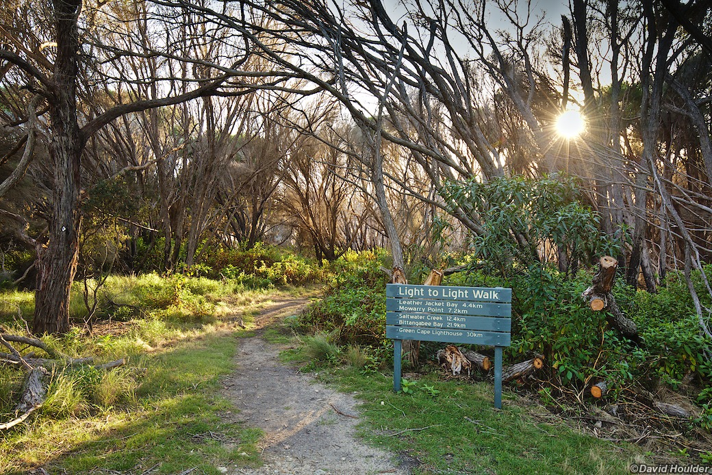
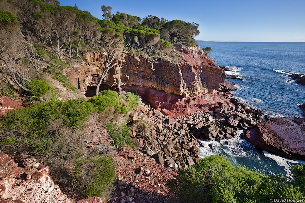
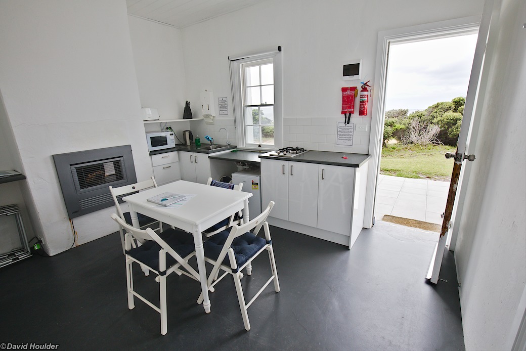
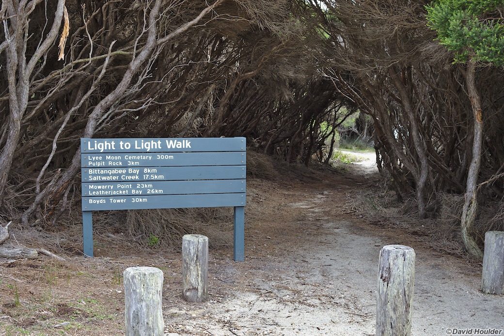
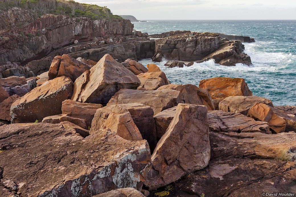
The Light-to-Light walk in Beowa National Park just south of Eden NSW is an easy three day walk south along the coast to Green Cape. I did it as a six day return walk, which gave me an excuse to stay in the bunkhouse at Green Cape, avoided having to organise transport back from Green Cape, and amortised all the costs and organisational overheads over six days instead of three.
I did this walk in 2019, and the route and camping options have changed since then. See the NSW National Parks and Wildlife Service page for the latest updates. Walk-in tent camping has been retained and improved at both Hegartys Bay, and Mowarry Point, but they are no longer free and booking is required.
The entire walk from north to south could be done as a two day walk, but what's the rush? By taking three days you avoid having to camp at the drive-in campsites and have more time for swimming, taking photos, birdwatching or whatever.
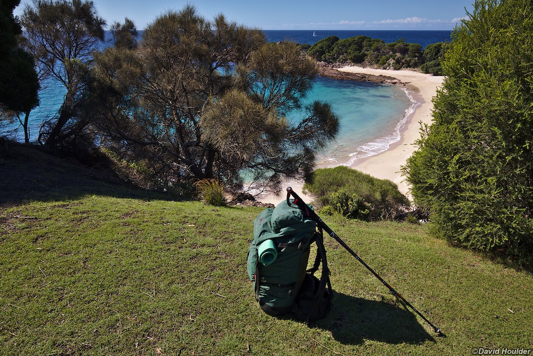
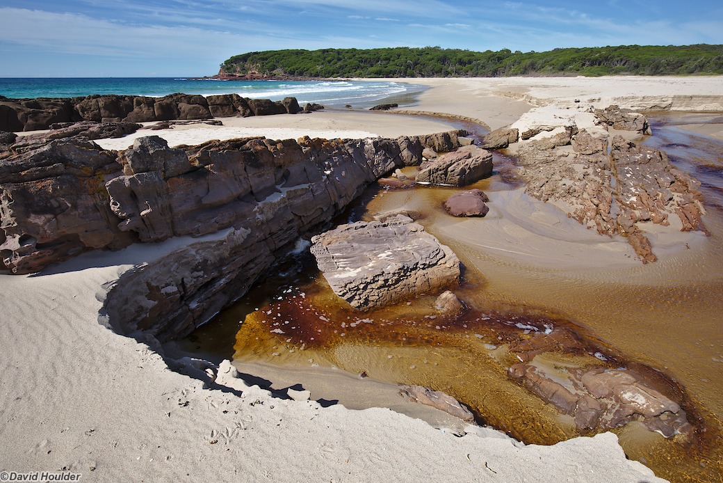
I did it in April and the ocean temperature was easily warm enough for swimming, although that will probably vary from year to year. There's a great little beach at Mowarry Point.
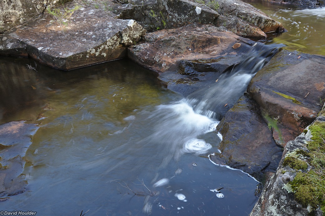
While you can camp at the drive-in campgrounds at Saltwater Creek and Bittangabee, they can be busy and are aimed at car campers. You're better off camping at the walk-in campsites at Mowarry Point and Hegartys Bay. As of 2025, both of these campsites have toilets and rainwater tanks. There are small creeks at both of those campsites but they may dry up in summer or after long dry periods. Check with the Merimbula National Parks and Wildlife Service office on current conditions just before you start the walk. Walk with enough water to get you to the next paid campground just in case the creeks are dry and you have to continue on.
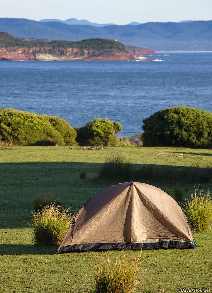
At Mowarry Point there are grassy headlands on either side of the beach. As of January 2024 there are toilets, a rainwater tank and designated tent platforms and pads. Water might also be available in the small creek that you cross before climbing up to the headland above the northern end of the beach.
At Hegartys Bay in 2019 there were sites on either side of the creek. As of May 2025 there are facilities similar to those constructed at Mowarry Point.
In dry times you'll either have to camp at Saltwater Creek and Bittangabee, which have large water tanks, or walk with enough water for an overnight stay plus a few hours the following morning before replenishing at the next drive-in campground. Check with the Merimbula NPWS that there's water at Saltwater Creek and Bittangabee, Those campgrounds also have toilets and gas barbeques.
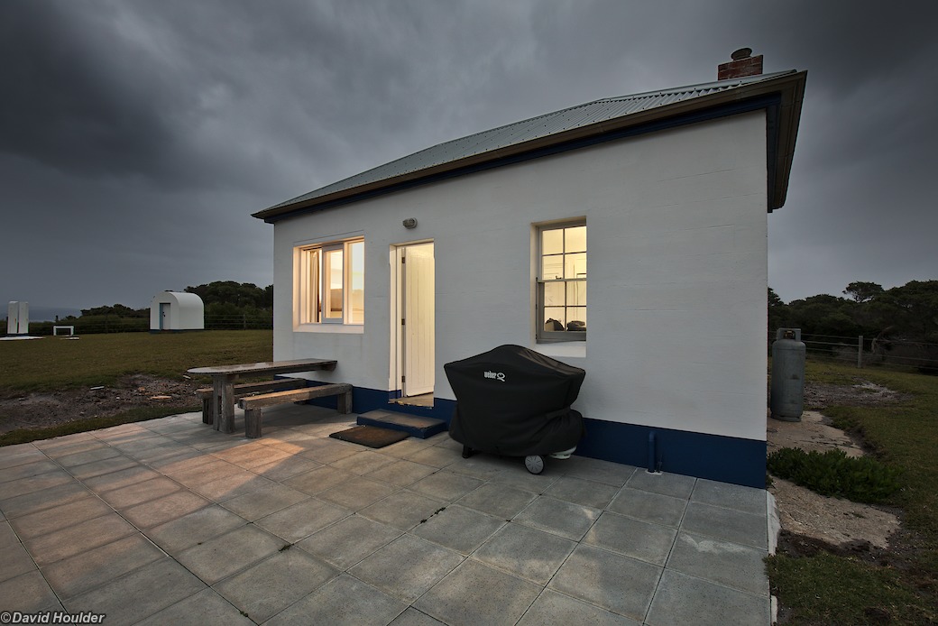
Note that there's no camping at Green Cape. You'll have to book accommodation in the bunkhouse or the cottages. Sites at Saltwater Creek and Bittangabee have to be booked in advance too.
The walk is mostly on the Kiah 8823-1S 1:25000 topo map, with a few kilometres of the northern section on Eden 8823-1N.
Transport to and from the ends of the walk is available from Navigate Expeditions.
The official NSW National Parks and Wildlife Service Light to Light walk page is here
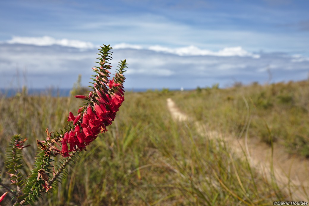
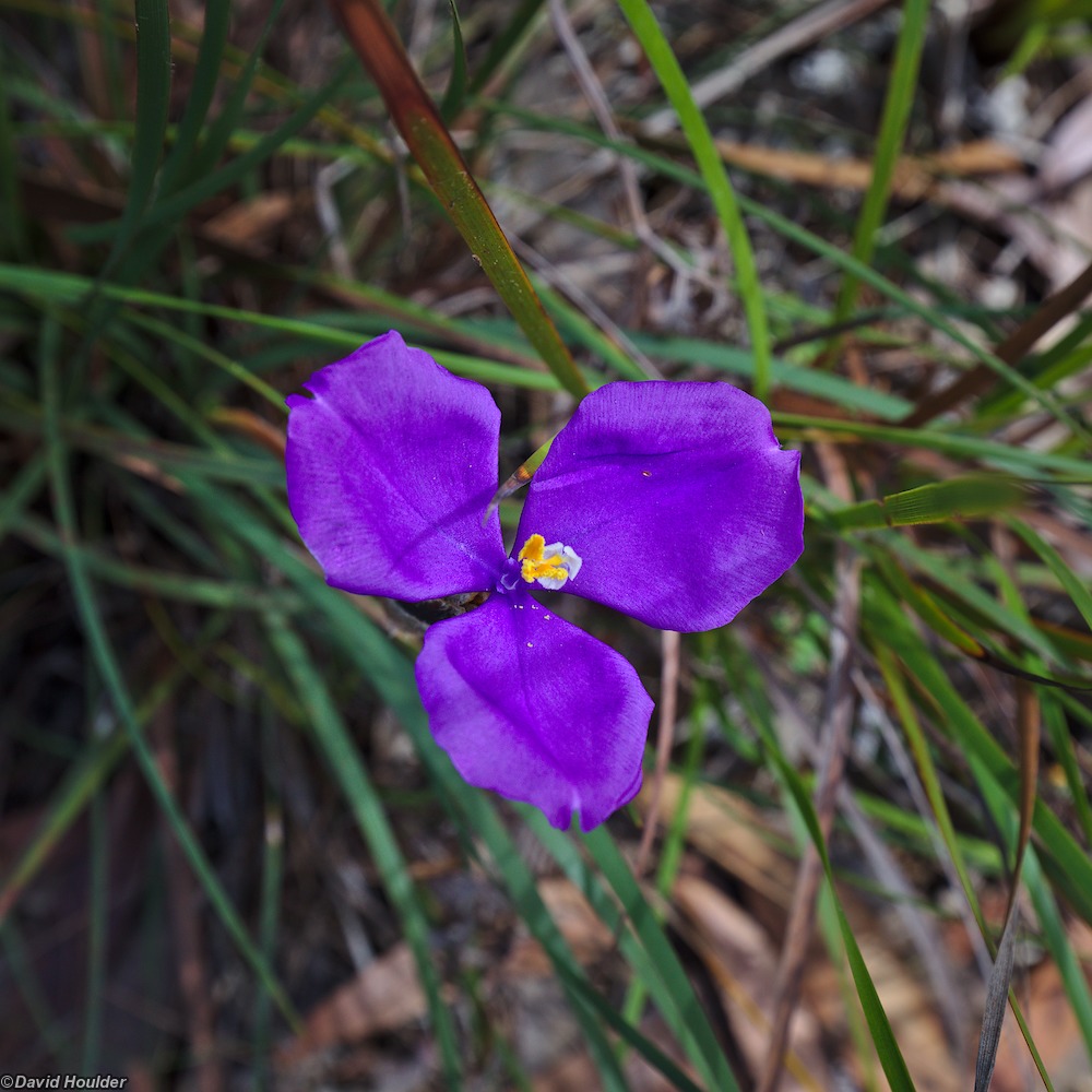
Probably Patersonia
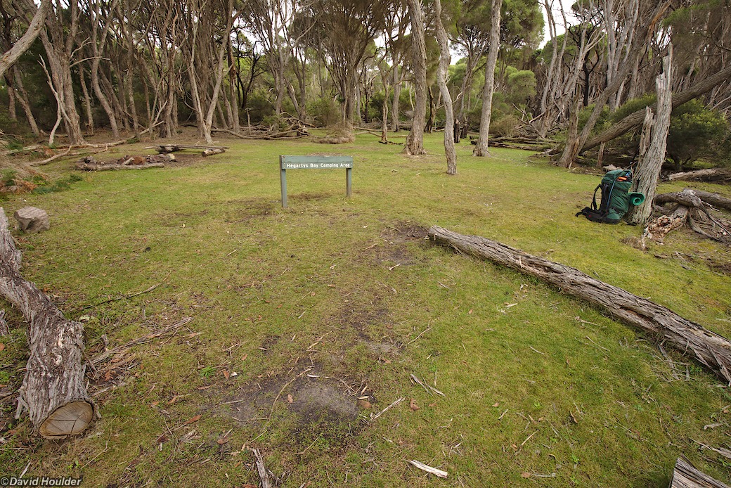
As it was in 2019. Nice and grassy but on a bit of a slope. There are now tent platforms, a toilet and a rainwater tank here.
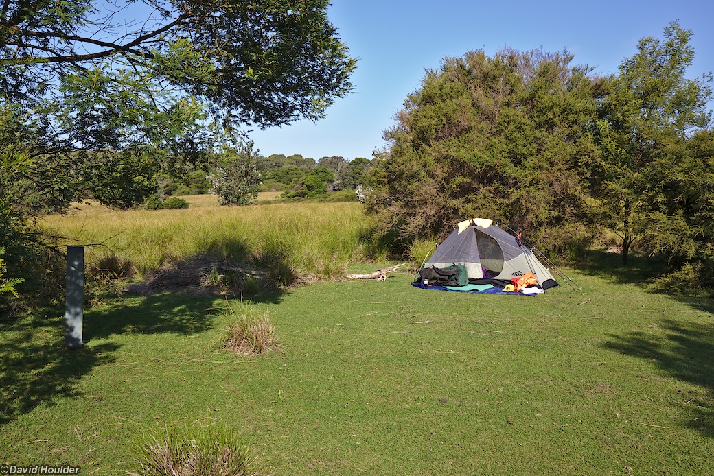
Camping above the northern end of the beach at Mowarry Point in 2019. There are now tent platforms at Mowarry Point.
