Orroral Valley to Bimberi Peak
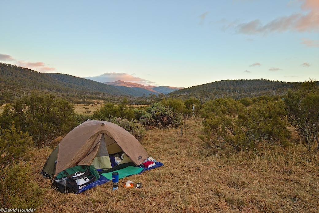
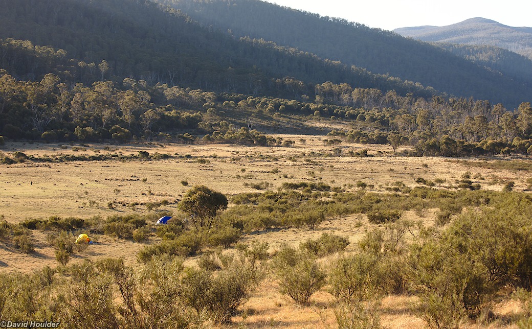
This is a great three day return walk to the highest peak in the Australian Capital Territory. It starts at the old Orroral Valley tracking station site and follows Cotter Hut Road (a firetrail) and the Australian Alps Walking Track to an excellent campsite on the east side of the Cotter River. Note that the campsite is nice and grassy because it's in a frost hollow, so bring your warm sleeping bag. Also check with the Namadgi Visitors Centre before starting the trip - numbers are limited at the Cotter campsite, and you have to stay well clear of the river itself and Cotter Hut.
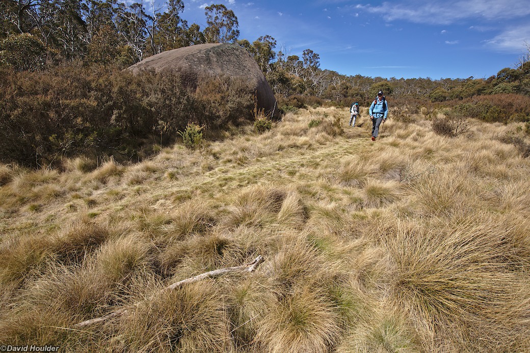
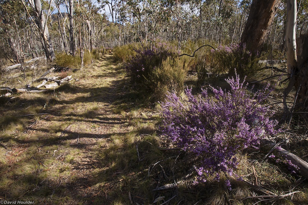
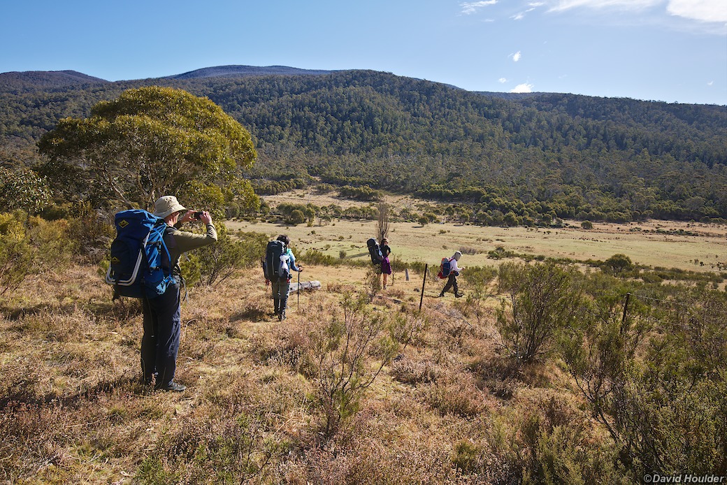
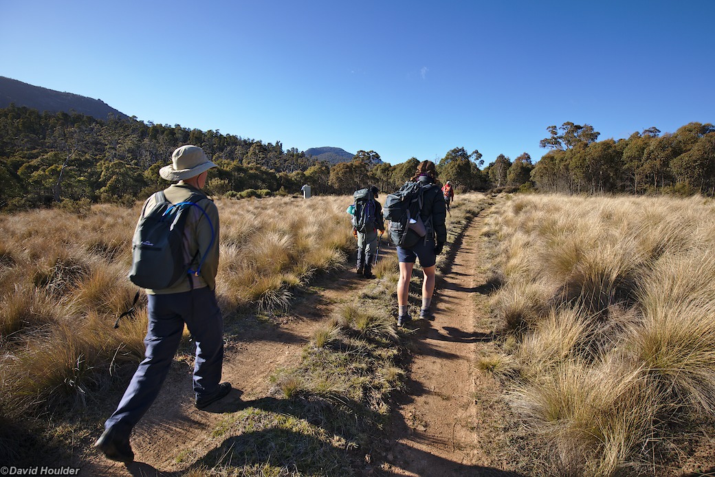
From the parking area at the tracking station site, follow the short walking track that leads to Cotter Hut Road, then turn right and follow that until you get to the Australian Alps Walking Track turnoff on your left. There's a signpost there, but it would be quite easy to walk right past it, so keep your eyes peeled. Follow the walking track to the campsite. Note that there's a pretty steep hill in the middle of this section.
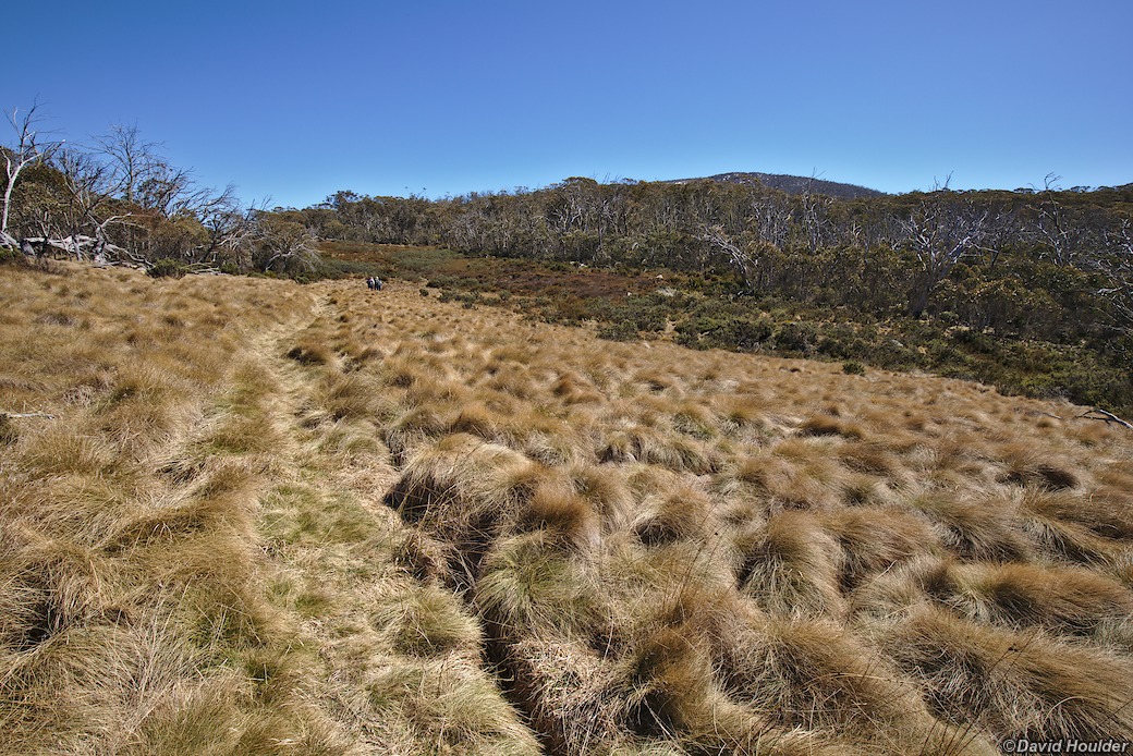
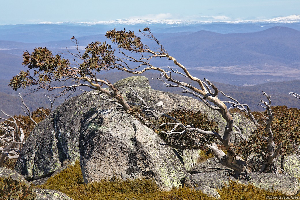
From the campsite it's a reasonably easy stroll along Yaouk Trail to the Murray Gap Trail turnoff, then a long, uphill walk to Murrays Gap, followed by a route marked by cairns up to the summit of Bimberi Peak. Even in springtime, expect to encounter some patches of snow on the southern flank of Bimberi, and in winter it's probably impassable. Although the route is marked by cairns, it's not very distinct, and you will need a compass, map, navigation skills and perhaps a GPS just to be sure. The walk up to Bimberi and back to the campsite can be done in a day.
Many thanks to Erick for organising this walk.
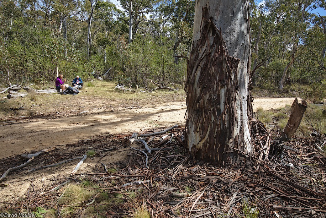
The turnoff from Cotter Hut Road onto the Australian Alps Walking Track. It's not particularly obvious, although it does have a marker post.
