Note: indicated routes are approximate. Use official topographic maps for navigation.
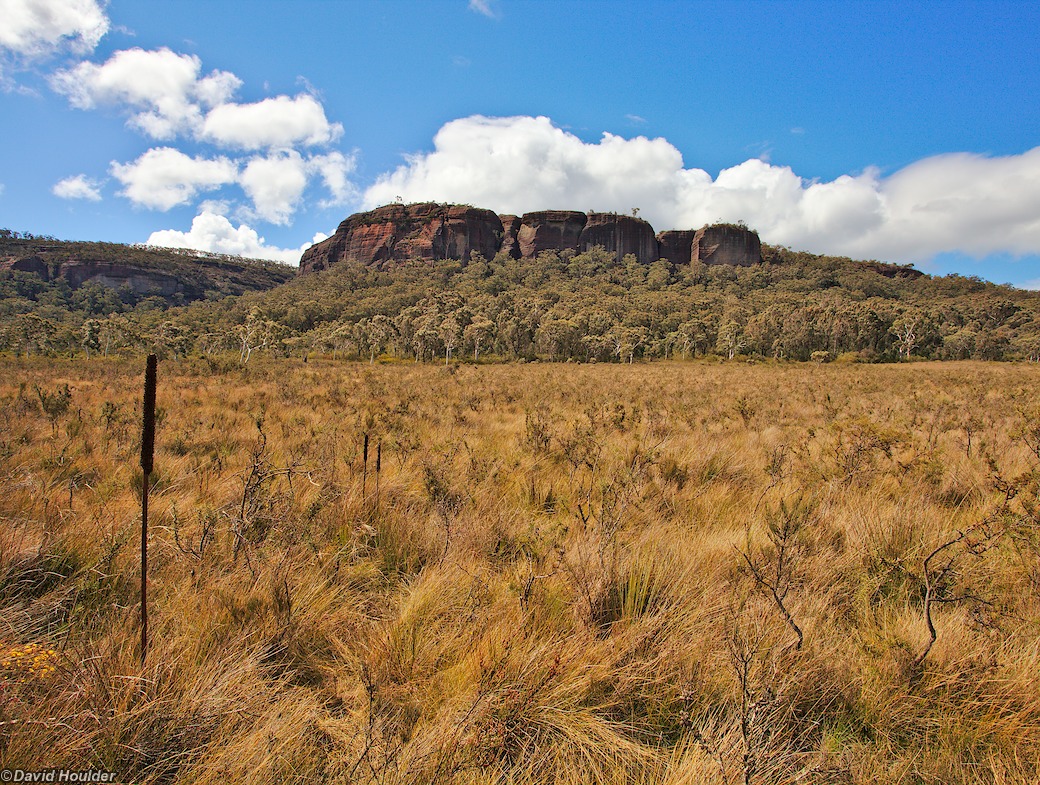
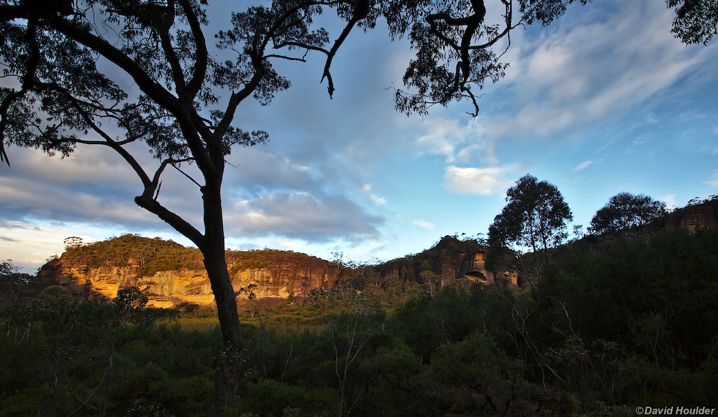
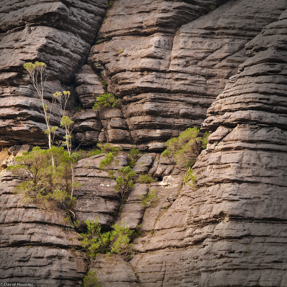
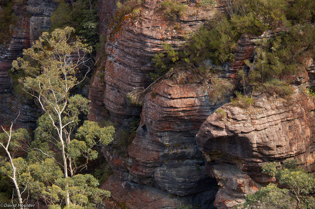
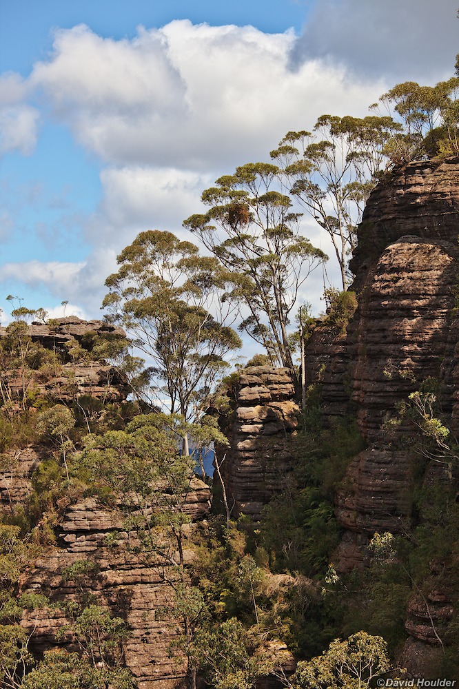
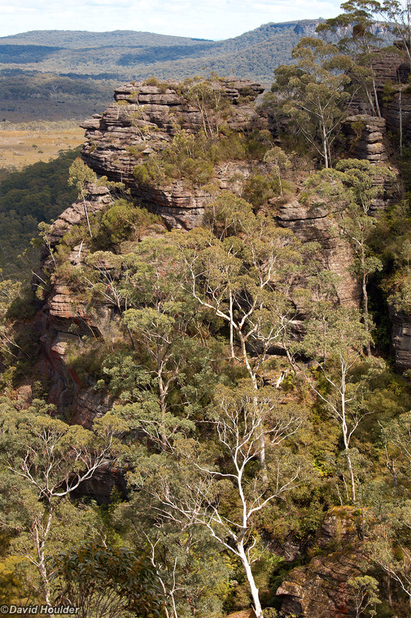
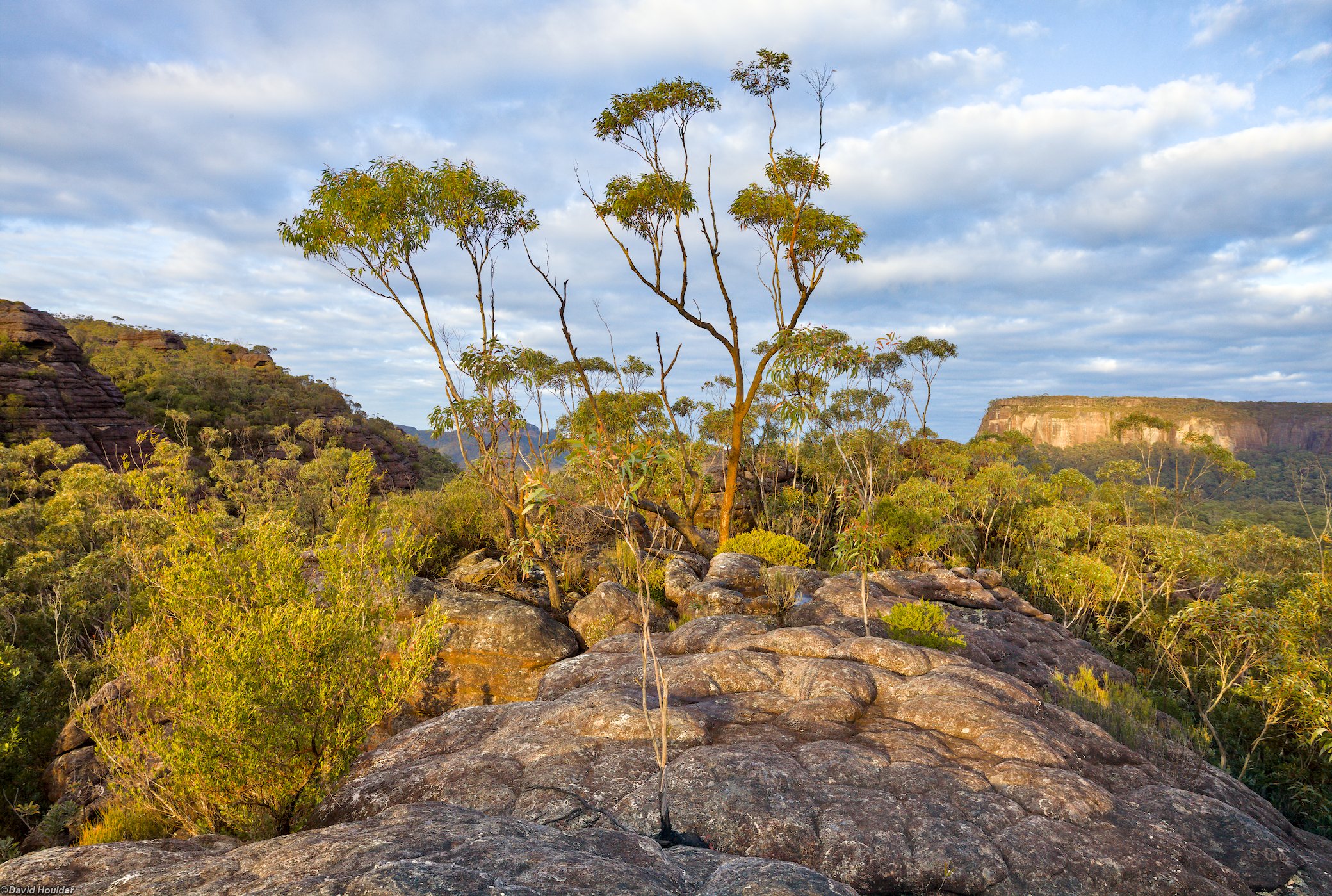
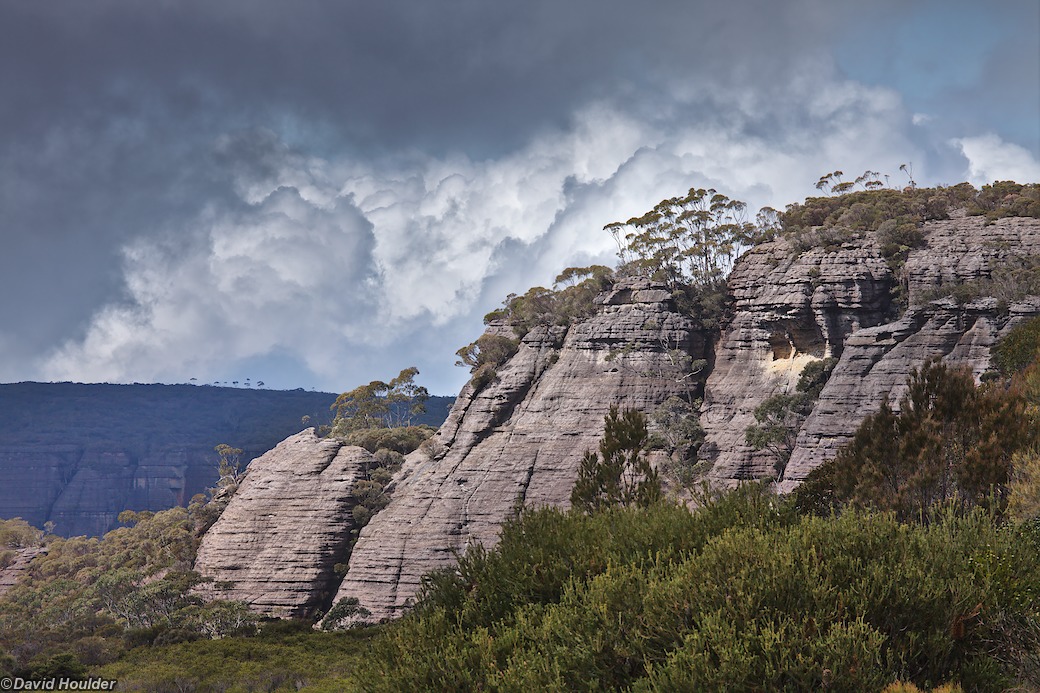
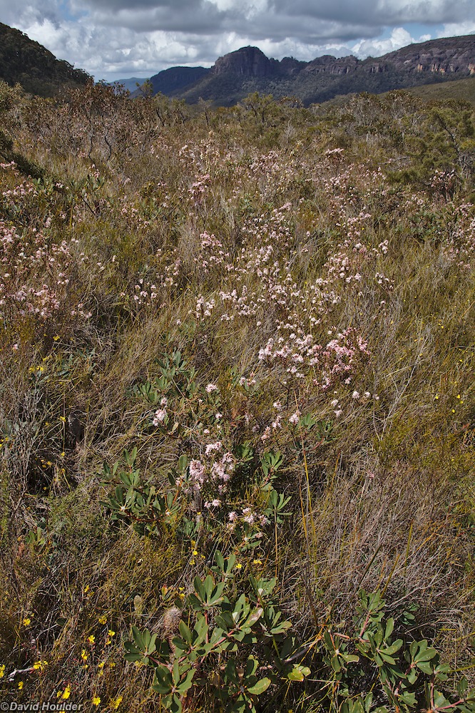
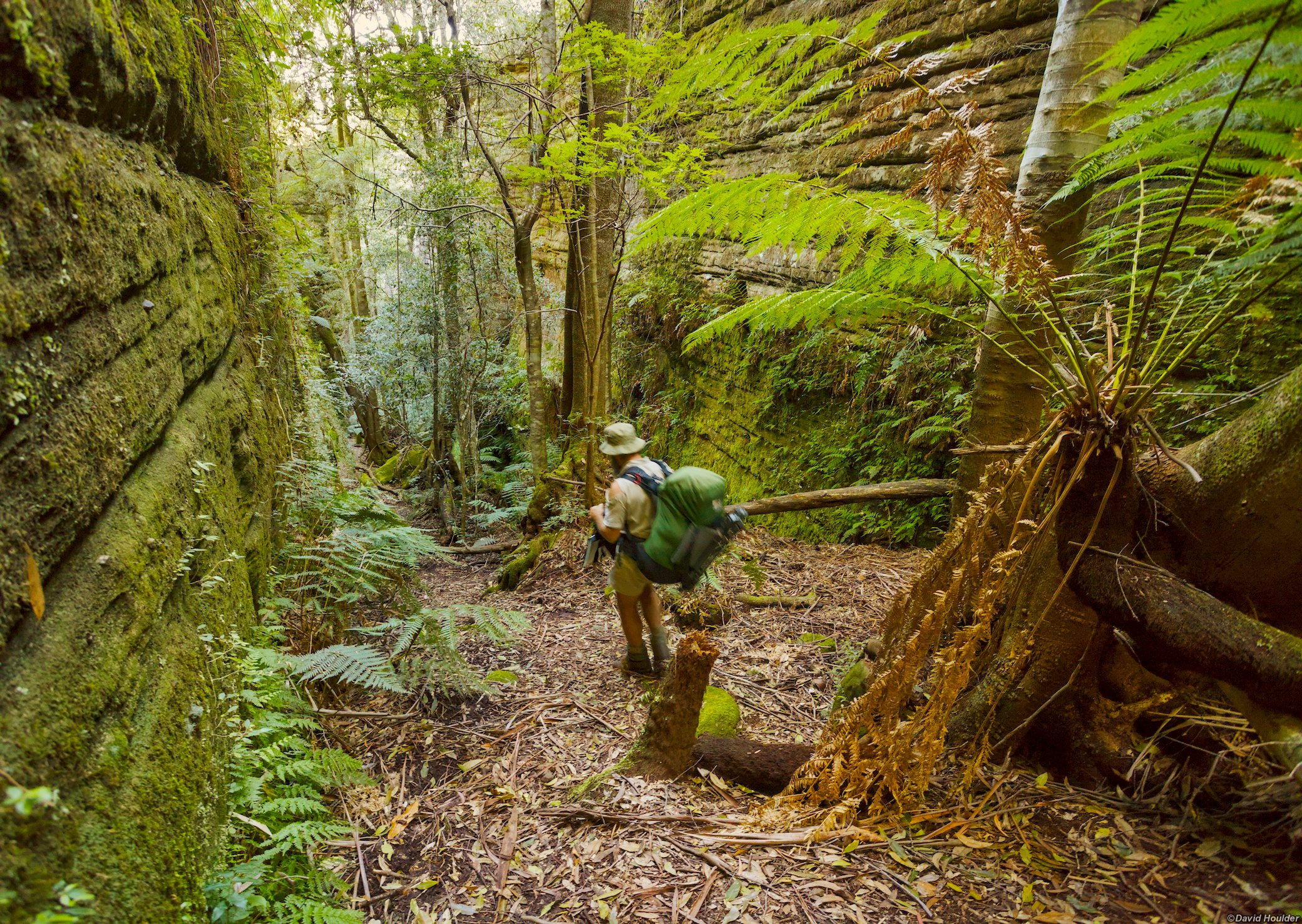
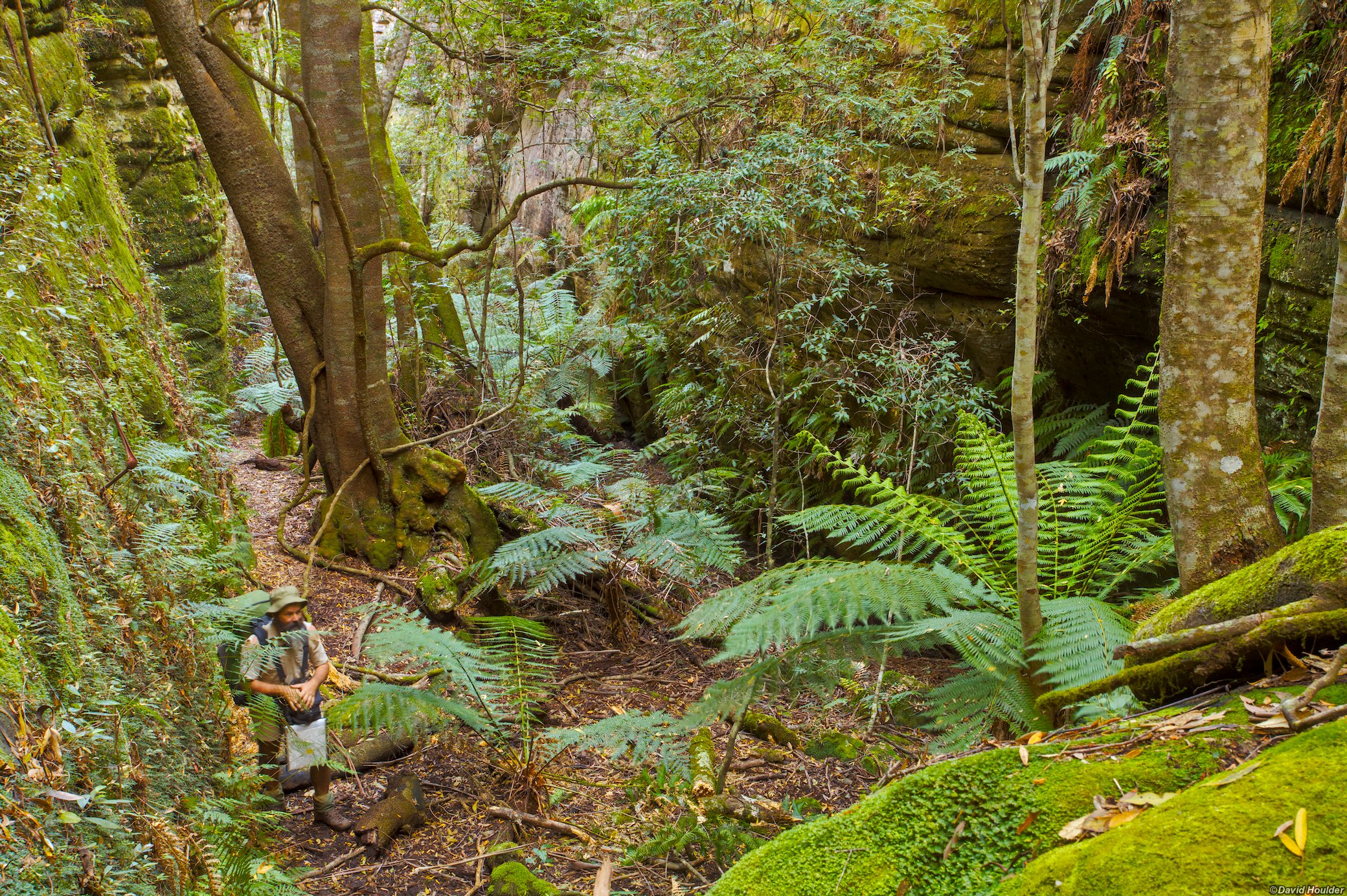
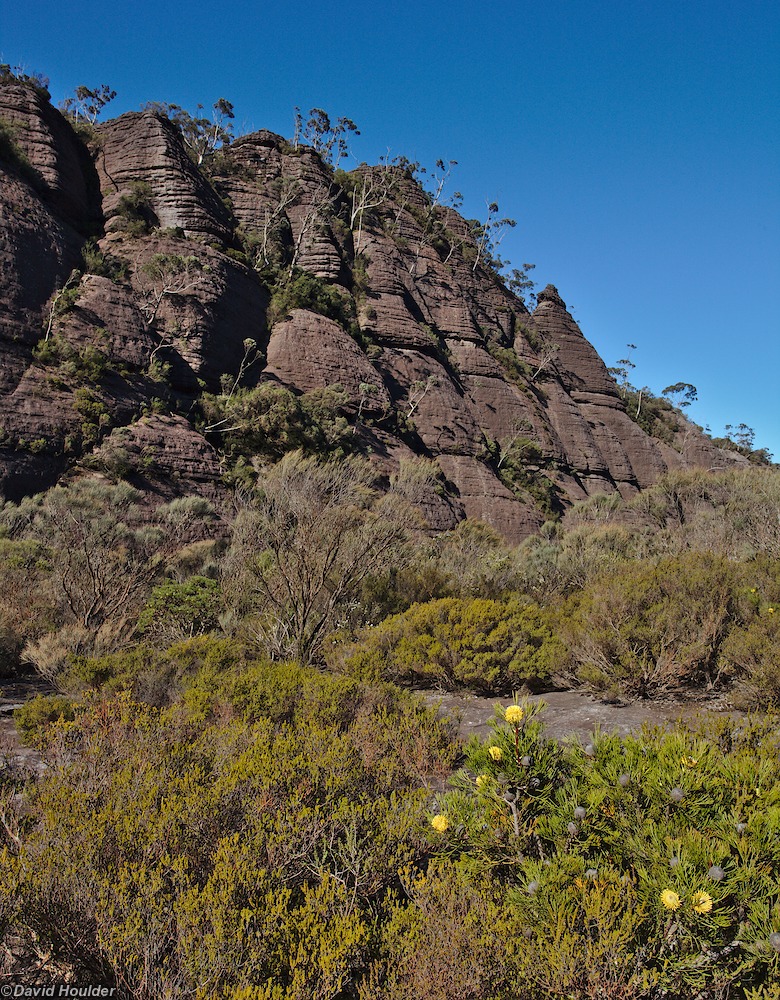
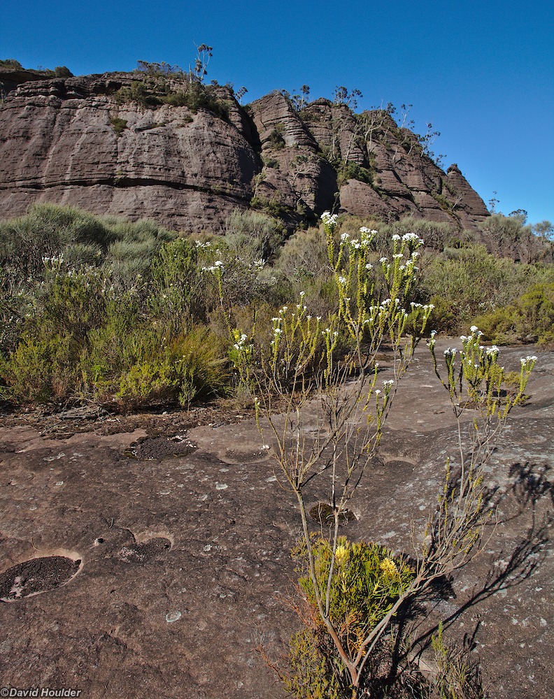
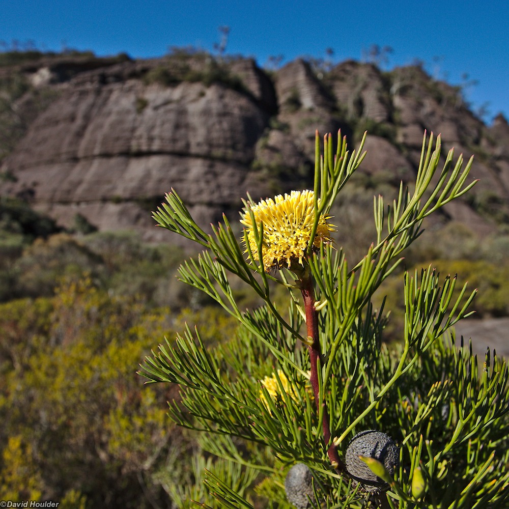
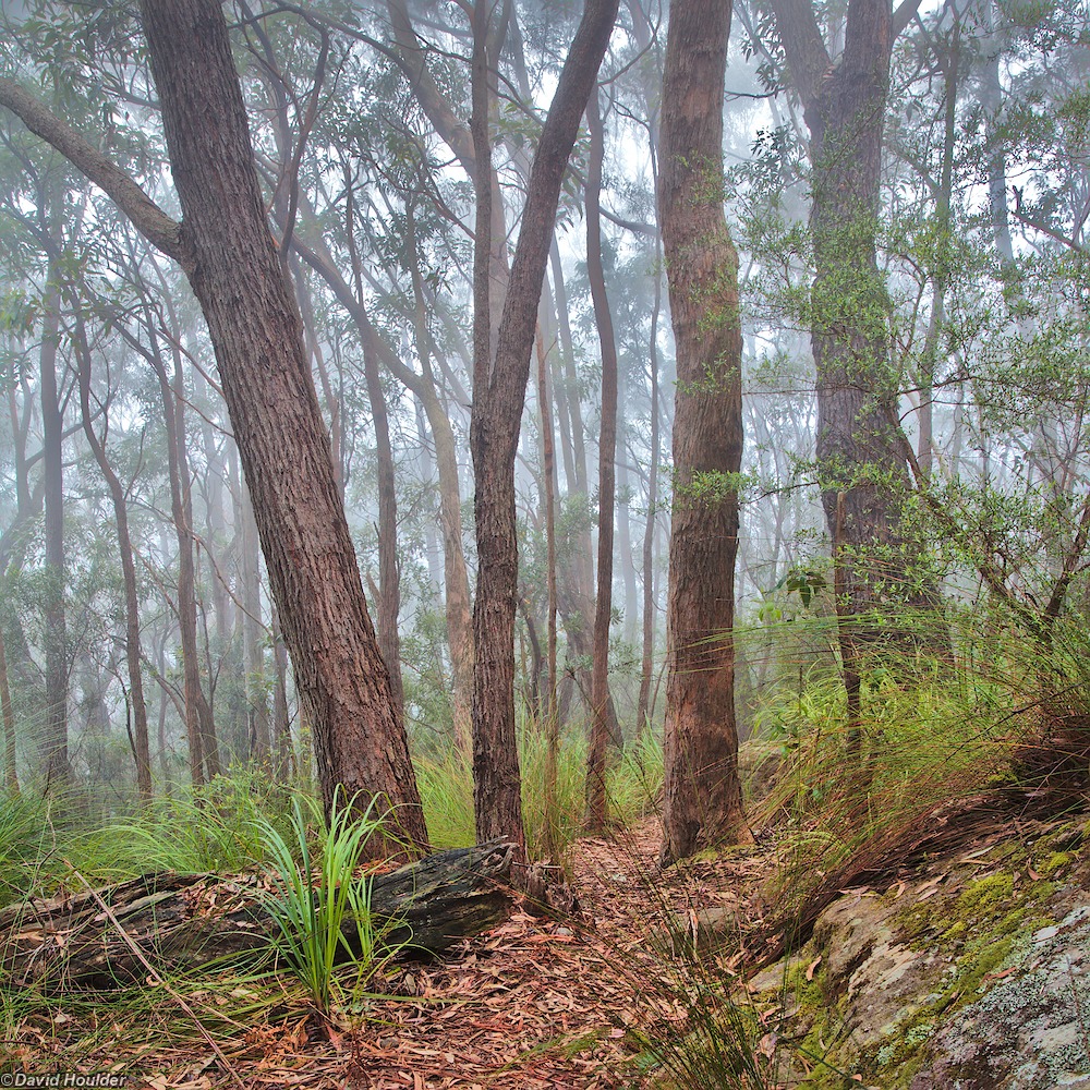
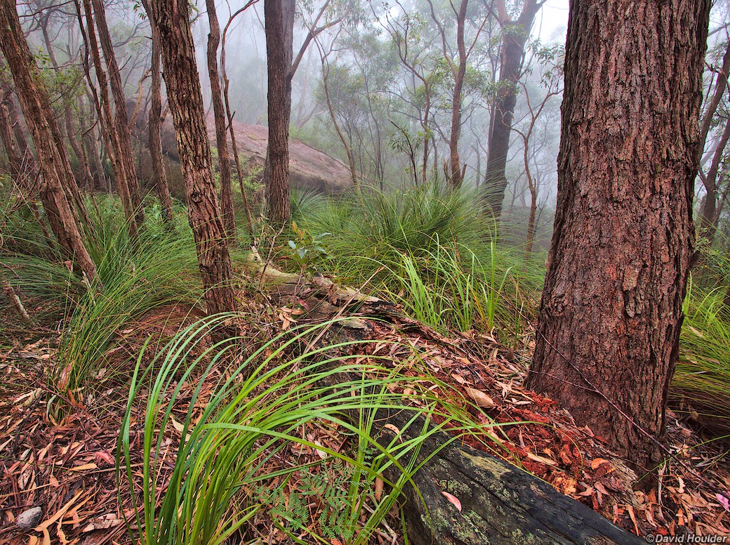
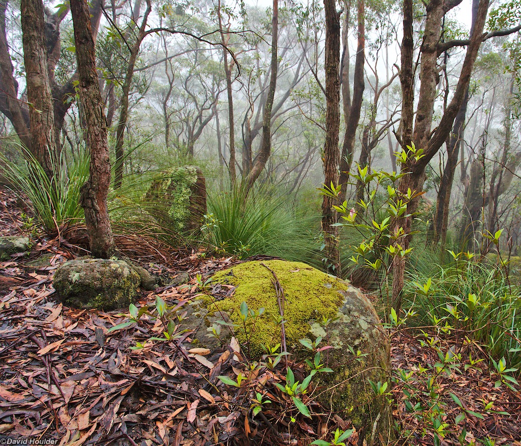
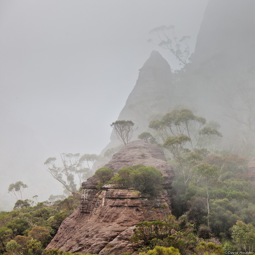
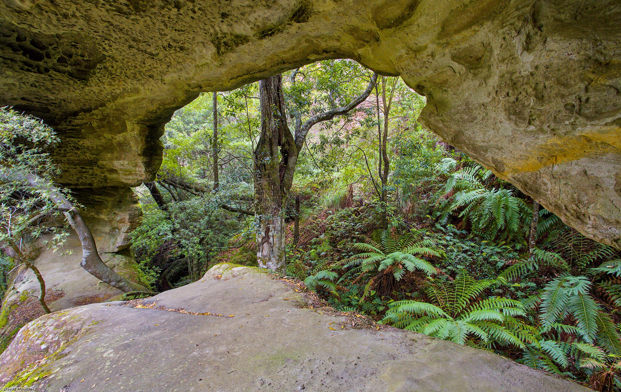
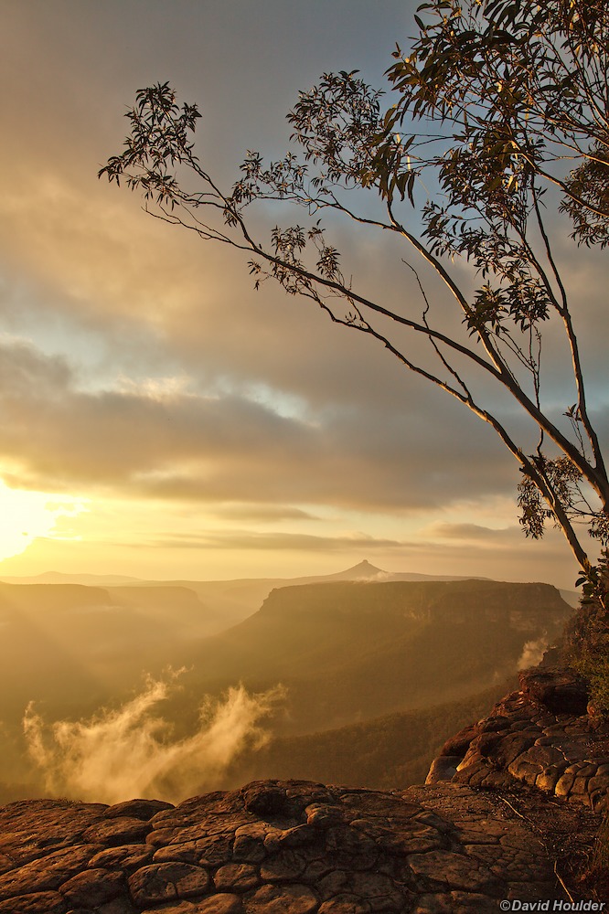
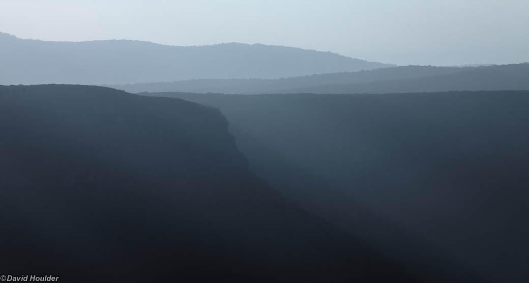
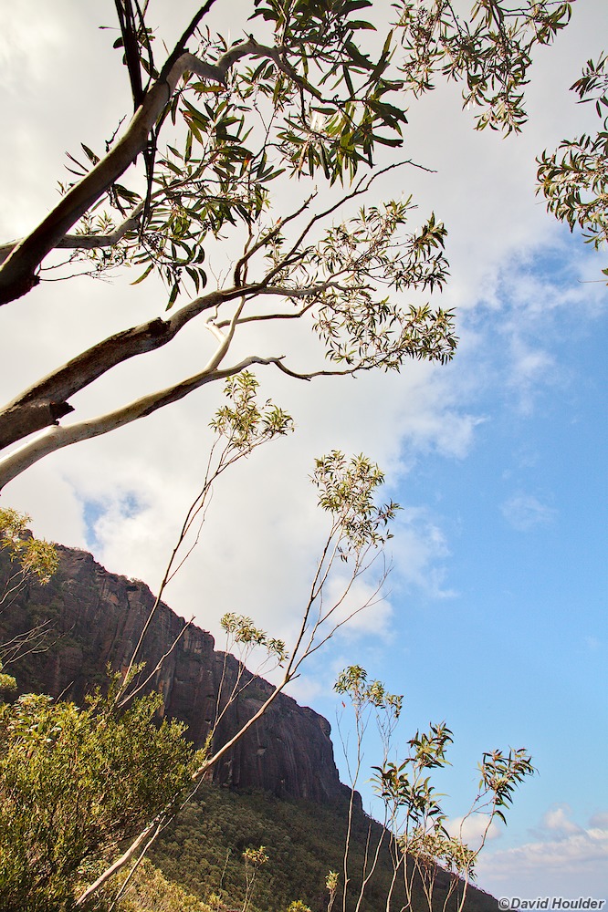
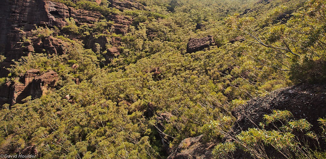
This is a walk from the somewhat informal Nerriga entrance of Morton National Park to Yadboro Flat, taking in many of the best bits of the Budawangs: Hidden Valley, the cliff-faces of Mount Haughton, Mount Tarn, Mount Cole, Monolith Valley and (for the energetic and those blessed with better weather) The Castle.
A few things to note:
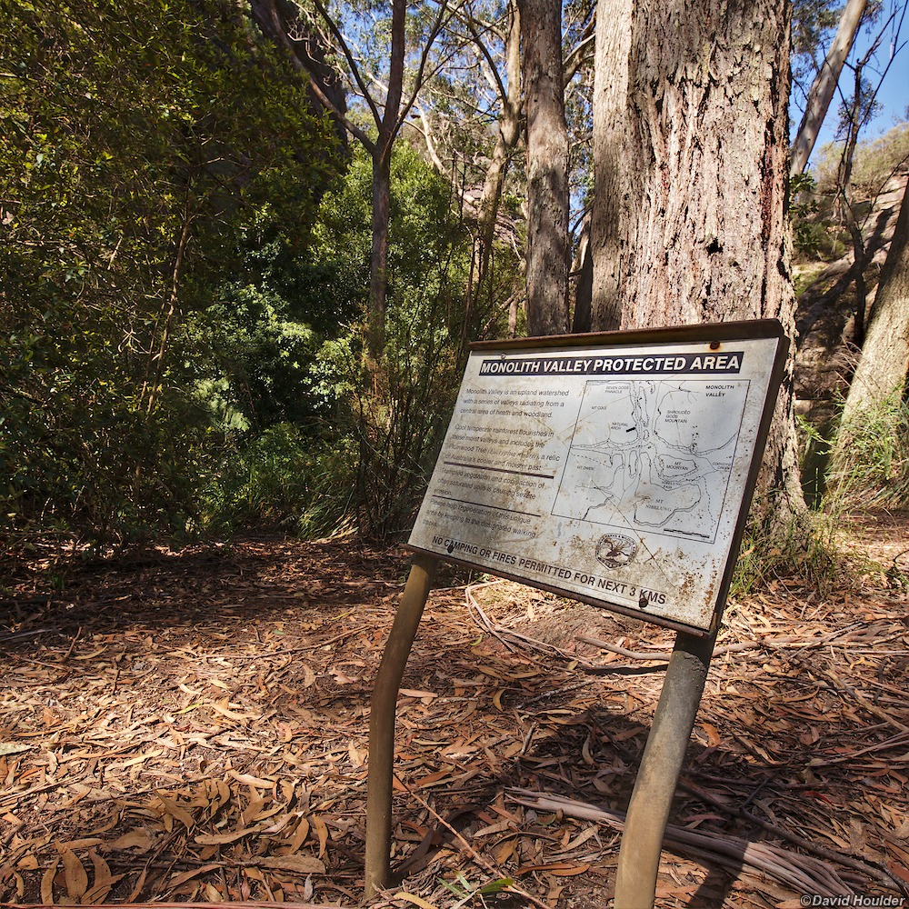
- Camping is restricted along this route. See the official requirements and guidelines here. In particular, camping is not permitted in Monolith Valley and Hidden valley.
- There's an excellent campsite a few hundred metres after crossing The Endrick River at roughly ENDRICK 454040 - it's flat and grassy. We, of course, camped a few hundred metres short of that, on the verges of the 4WD track and didn't discover the fantastic campsite until the next morning.
The Corang map (8927-3N) and this OpenStreetMap page show a track running around the northern side of Mount Cole and into Monolith Valley. We completely failed to find the way through from the Mt Cole camping caves and ended up bush-bashing around the base of DonJon Mountain and investigating every potential gully, until climbing up beside a creek on the eastern side on a compass bearing perpendicular to the marked track. We were clearly not the first people to do this, as we kept finding knots tied in the Xanthorrhoea fronds along the track, but it's definitely not advisable. If you zoom in on the map above you'll see the wrong way shaded red, and the supposed correct way in yellow.
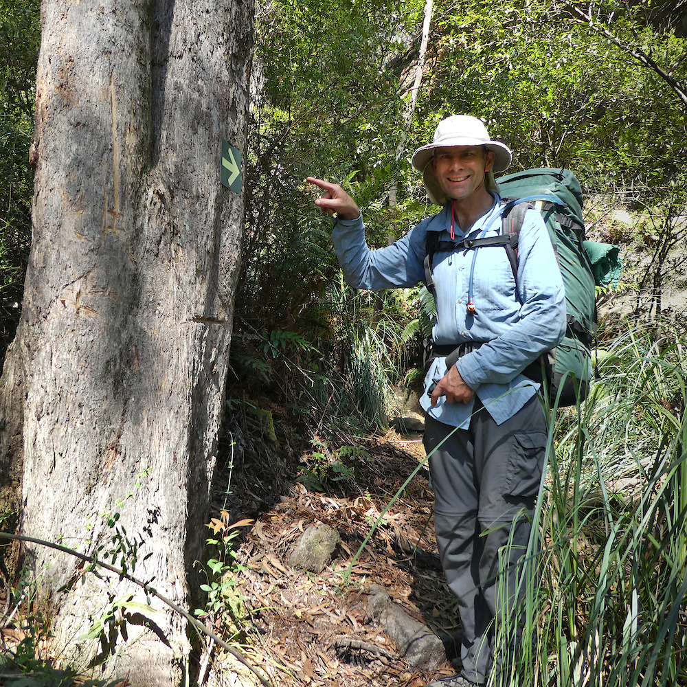
In 2017 I found the elusive turnoff which is (now) marked with a conspicuous arrow.
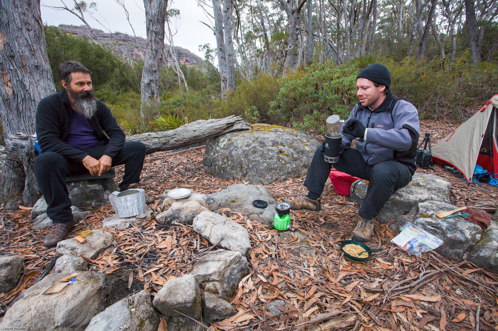
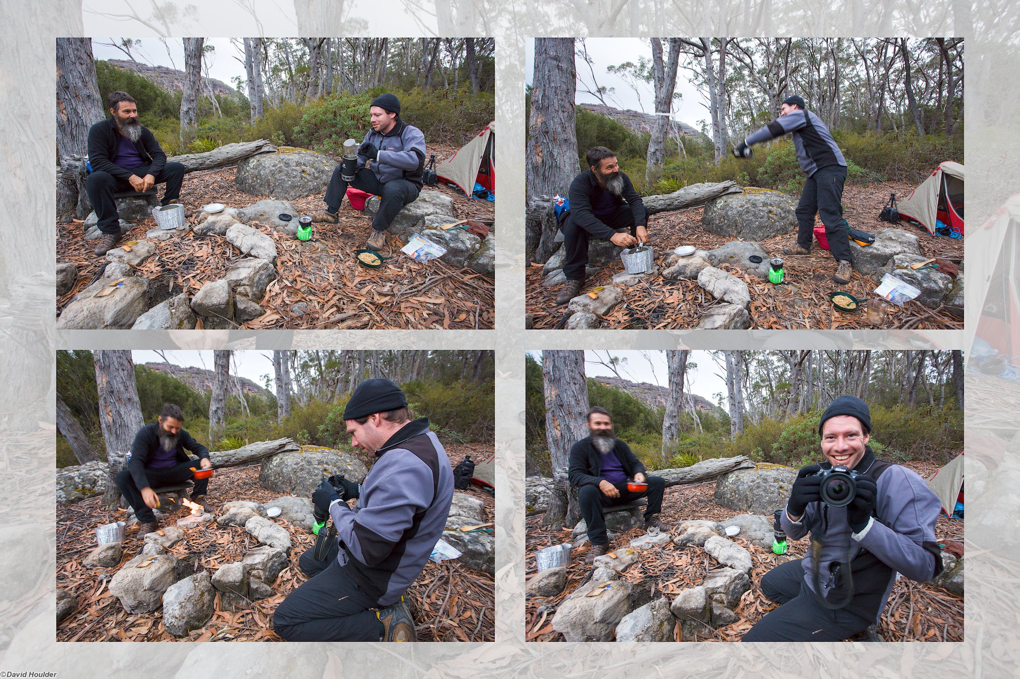
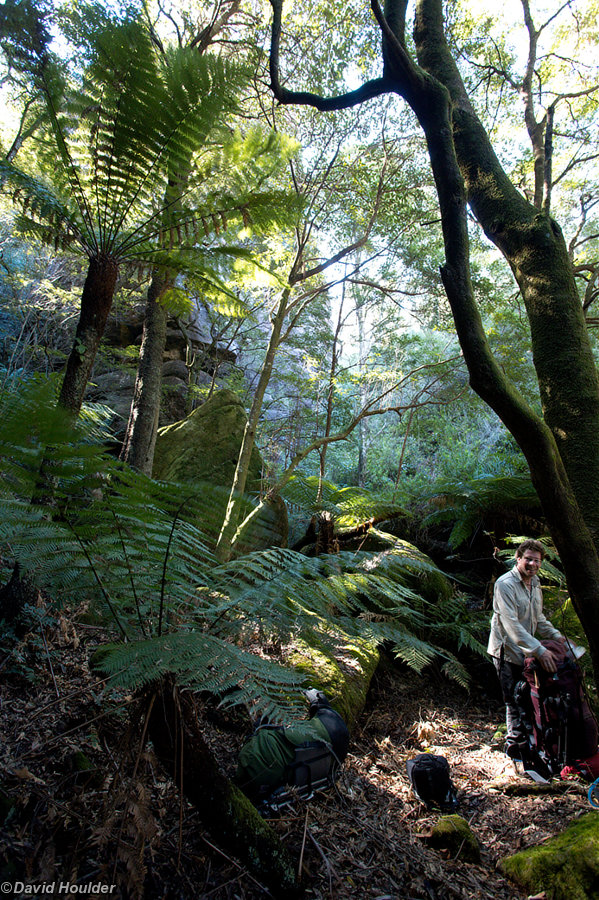
The place-markers on the map above show the route travelled at a pretty relaxed (and in some cases, lethargic) pace. The party in this case consisted of Rob Gray, Glen Turvey and myself, and the slow pace allowed plenty of time for photography. See Rob's and Glen's sites for other perspectives on the walk. We spent about four days poking around Cooyoyo Creek, Monolith Valley and The Castle saddle.
Note: The map above is just a rough guide. The marked locations and route may be highly inaccurate. If you want to do this walk, get hold of the proper topographic maps and use them to plan your walk in conjunction with a reputable guide book.
