Corang Loop
Wog Wog to Canowie Brook and return 🔗
This is a fairly easy two day walk from the Wog-Wog entrance of Morton National Park. There's an off-track section on the last day (see below), and there's an option to do a short off-track section on the first day. Some parts of the track may involve pushing through spiky Hakea and Banksia scrub, although the 2019 fires burnt most of that and I suspect it will take a few years for those plants to regrow. Parts of the track may be wet underfoot.
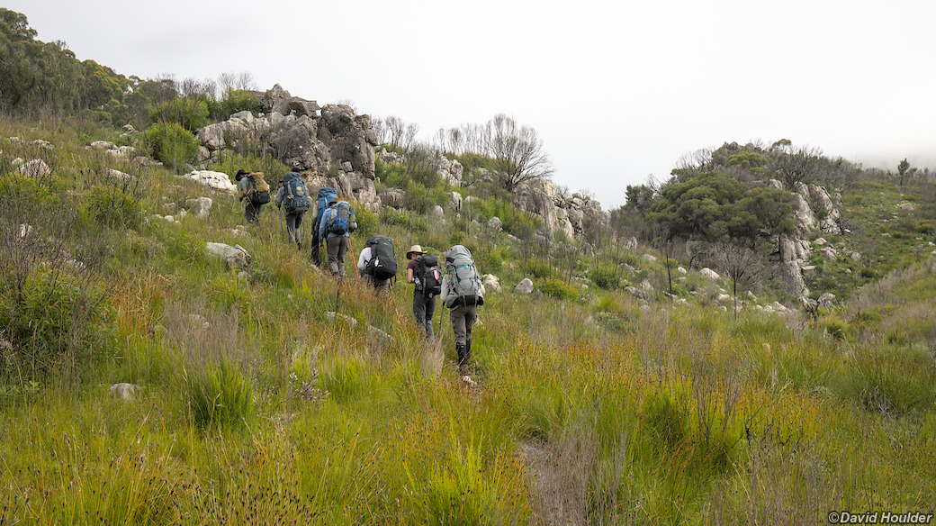
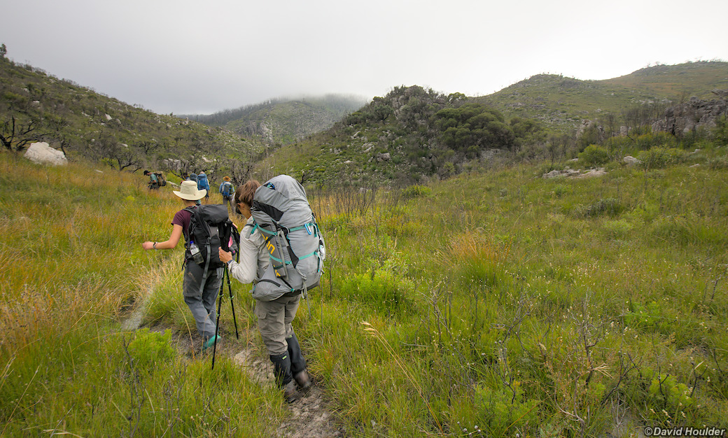
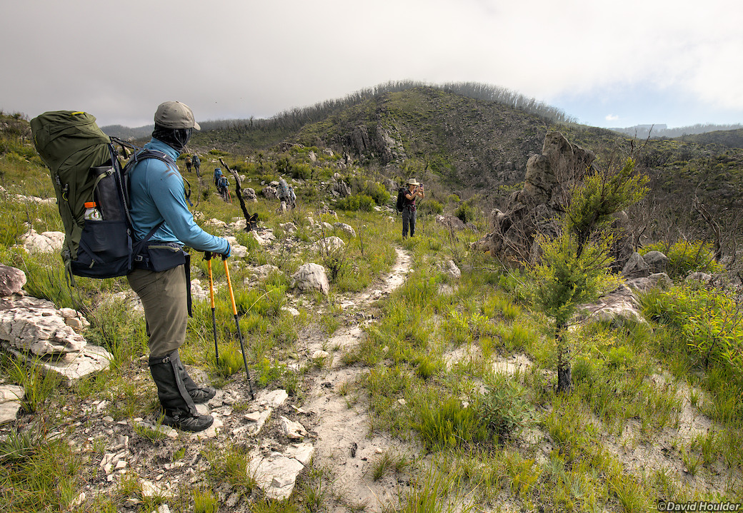
The first day consists of walking in to the Canowie Brook campsite. You have a few options here. To start with, you can either go over or around Corang Peak, and just beyond Corang Peak you can choose to take a rarely used branch off to the left or keep following the main track.
The branch off to the left takes you to the edge of the plateau and then you have to find your way down to Canowie Brook. If you're comfortable with off-track navigation, this is reasonably easy, even with full walking packs. There's a cairn or two at the start of the descent but no defined track. Once off the plateau, head down to to pick up a tributary stream of Canowie Brook. There's a decent campsite at the end of this stream, although we bush-camped a little before that.
Alternatively, the main track passes Corang Arch (worth a look) then leads down to the main Canowie Brook / Burrumbeet Brook camping area. There's a slightly tricky conglomerate slope to negotiate as you leave the plateau, then a couple of good campsites near Canowie Brook, overlooked by Profile Rock Hill.
The second day involves following Canowie Brook down to the Corang River junction, walking downstream on its southern bank, then leaving the river to rejoin the main track back to Wog Wog. There's a track all the way along Canowie Brook and the river, but parts of it are just defined by rock cairns, and sometimes the track is quite high above the river.
As the track approaches Corang Lagoon it crosses the park boundary into private property. At this point you may have to skirt around the private property by heading south and then west (see map above). When I did the walk in 2021 there was a short section of fence across the track at the boundary, so we just turned left and met up with the track again about 2km later. The terrain is fairly easy and in 2021 at least, the undergrowth didn't present a problem, although this may change in time. I suspect a trail will end up being blazed here, or maybe access will be negotiated with the landholder.
Note that Corang Lagoon itself is not part of the private property, but you would need to access it from the northern bank of the river, which is still inside Morton National Park. The area on the southern bank was freely accessible up until about 2018, and possible future access is discussed on the Keep Corang Open Facebook group and on this thread on bushwalk.com.
Thanks to Simon from the Canberra Explorers Meetup group for organising the 2021 walk.
Note: The map above is just a rough guide. The marked locations and route may be inaccurate. If you want to do this walk, get hold of the proper topographic maps and use them to plan your walk in conjunction with a reputable guide book.
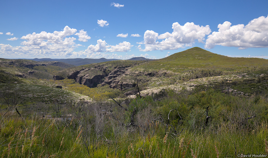
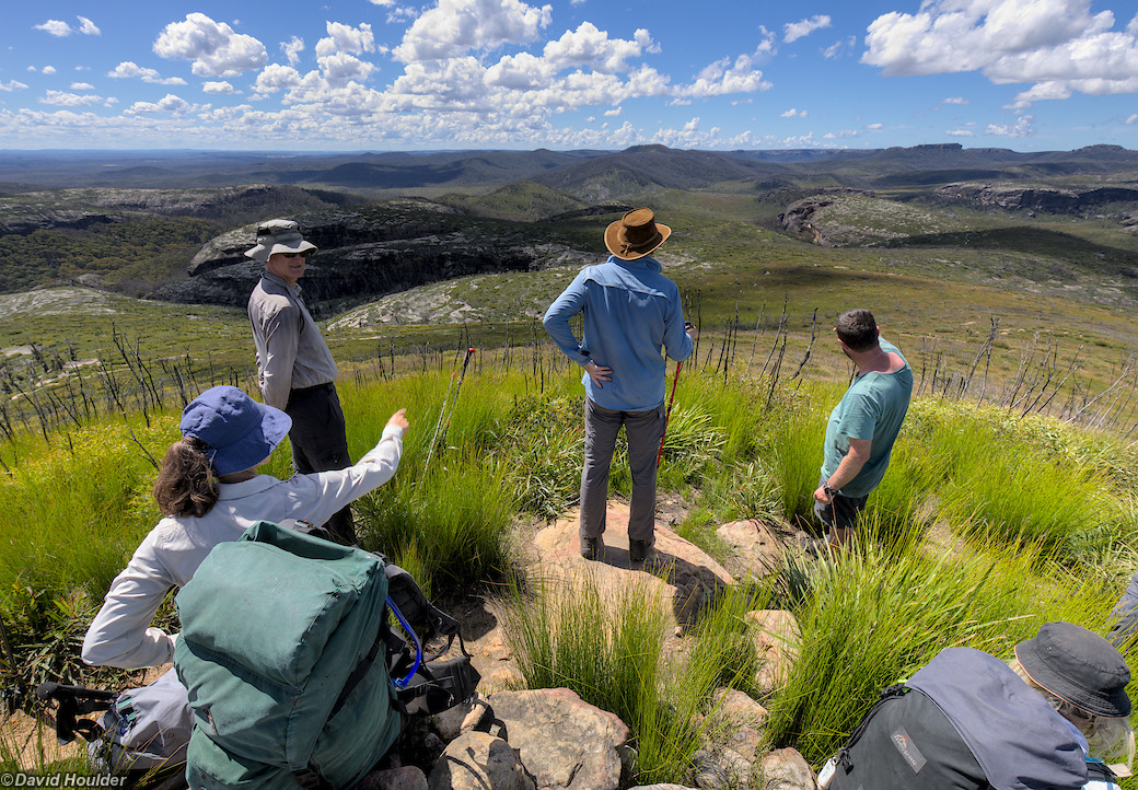
You can either walk over Corang Peak or skirt around it on the eastern side. The track around the eastern side is typically fairly wet, and there are great views from the summit.
Corang Arch 🔗
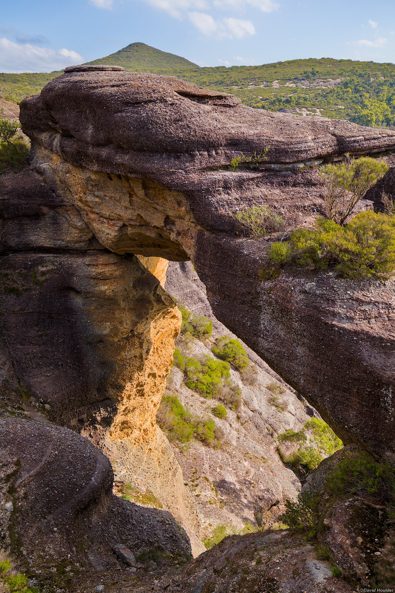
If you stay on the main track you'll pass Corang Arch before heading down to the Canowie Brook camping area.
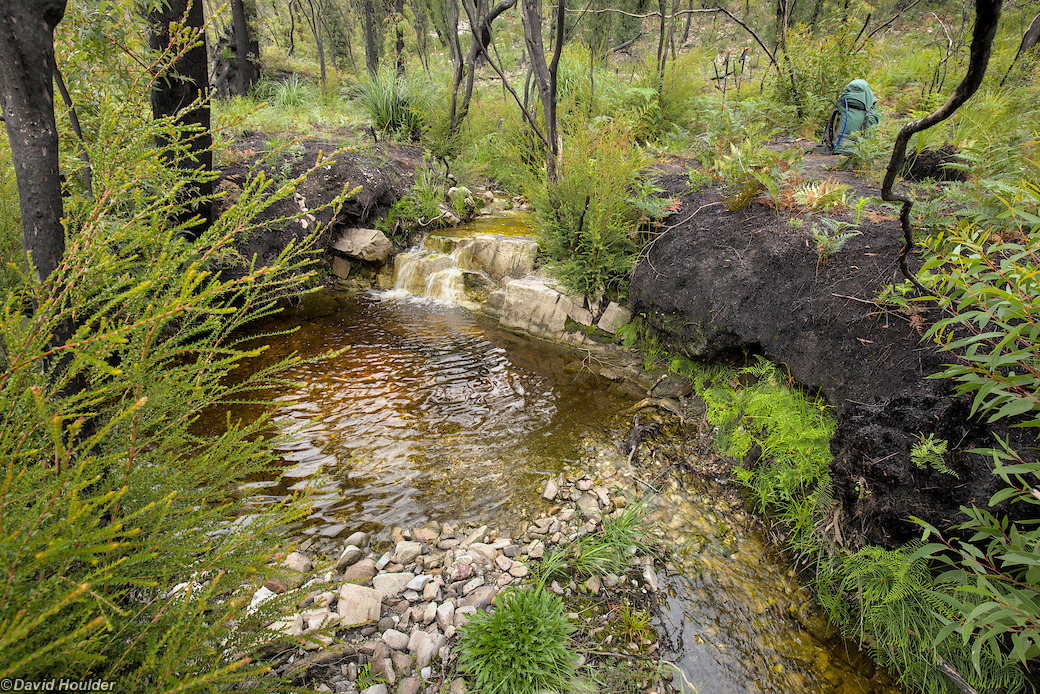
Alternatively, if you decide to leave the main track and take the off-track option after descending from Corang Peak, you'll pick up a tributary of Canowie Brook, west of Corang Arch. At the bottom of the descent from Corang Peak, there's a faint track off to the left. This track is marked on older versions of the Corang 1:25000 map. This leads to the edge of the Corang Plateau, and from there it's relatively easy to get down to this little stream. The vegetation presented no problem in early 2021, but may get thicker over time. There's a reasonable campsite at the junction of this stream and Canowie Brook.
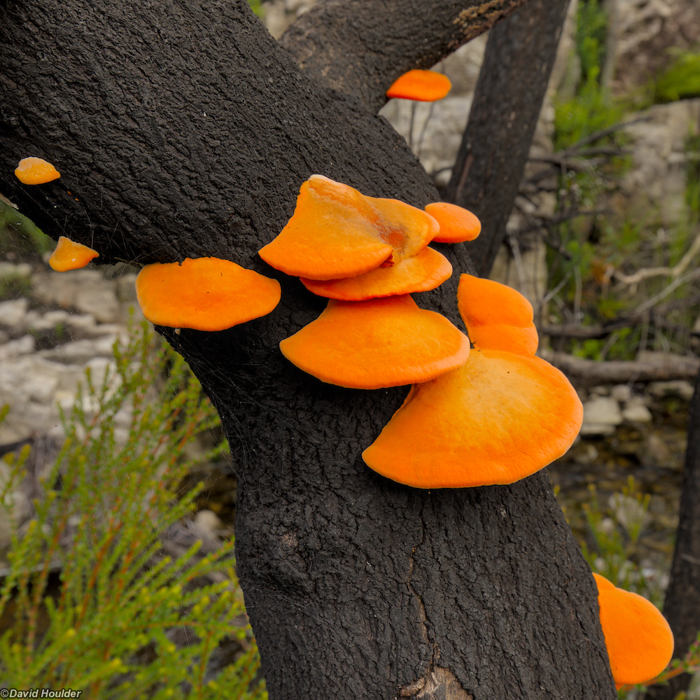
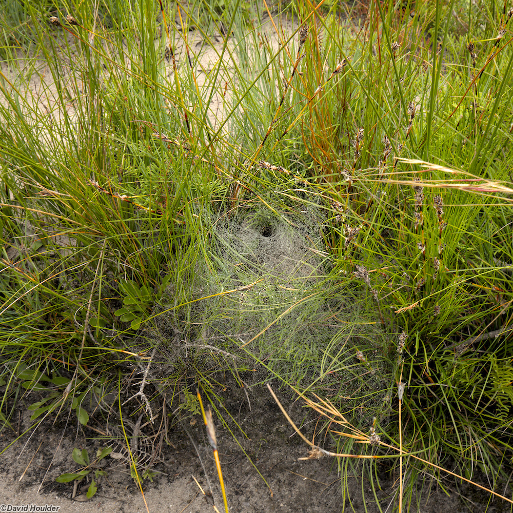
Needless to say, leave these alone. Funnel-web spiders are highly venomous.
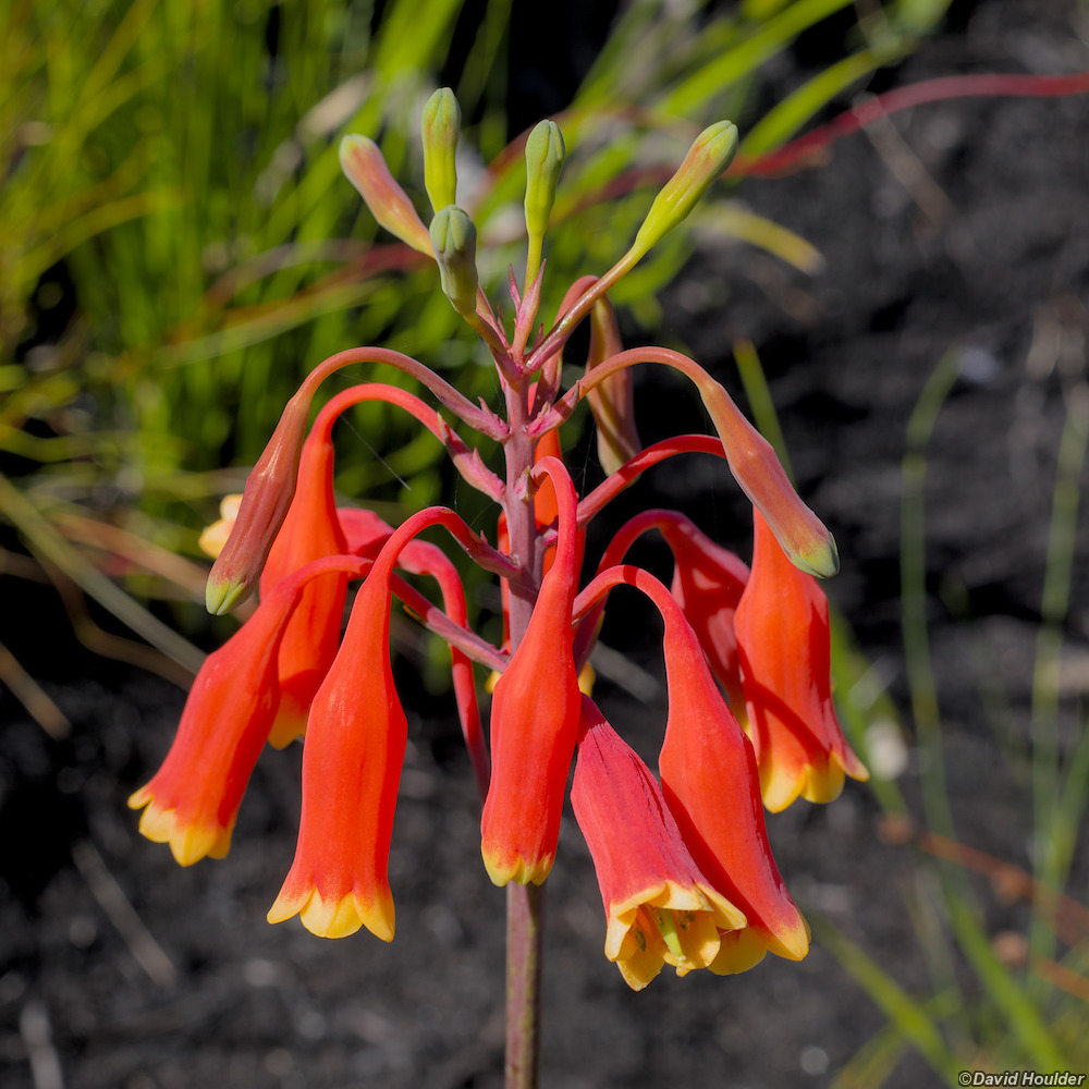
Also known as Christmas Bell
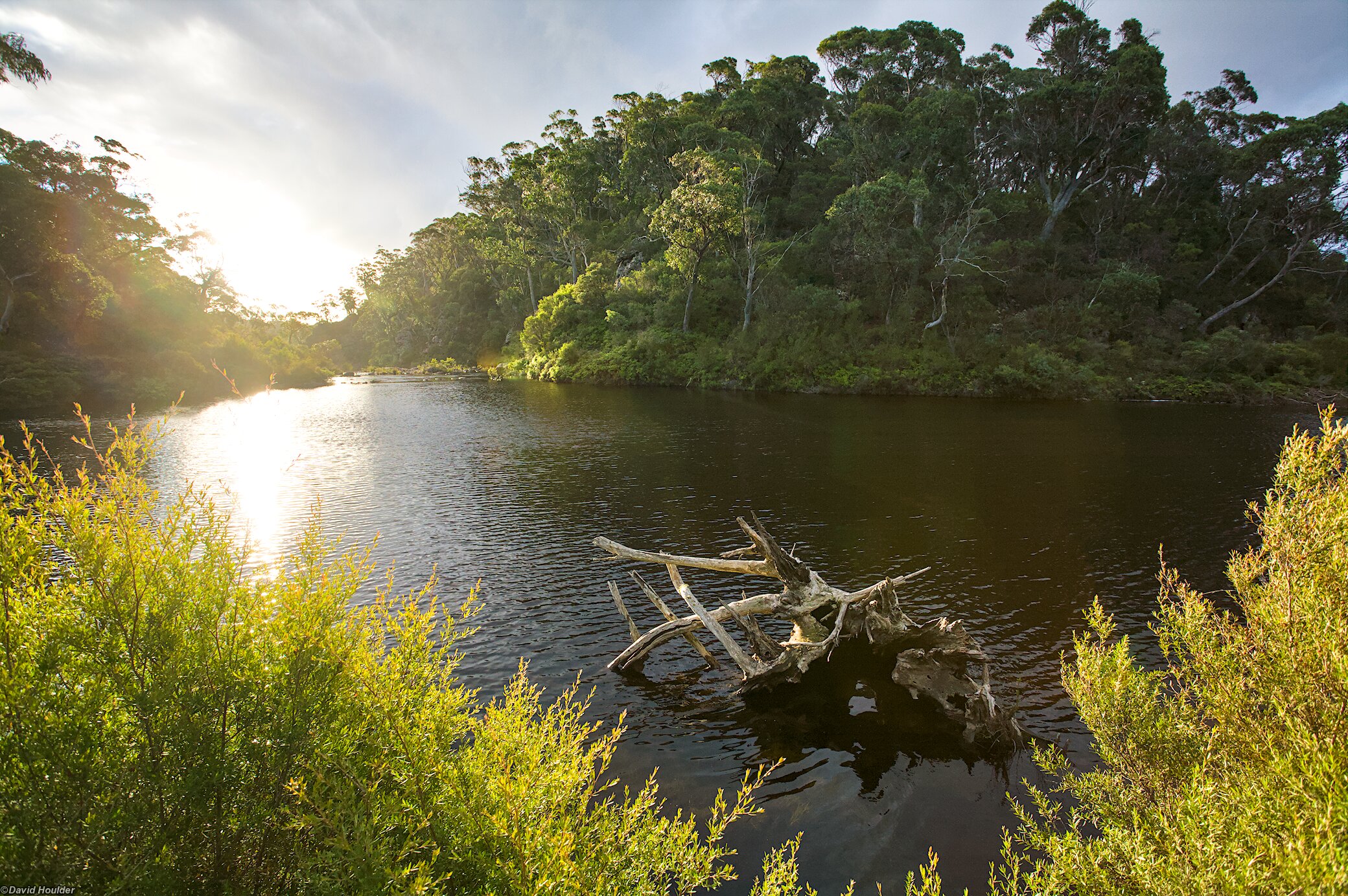
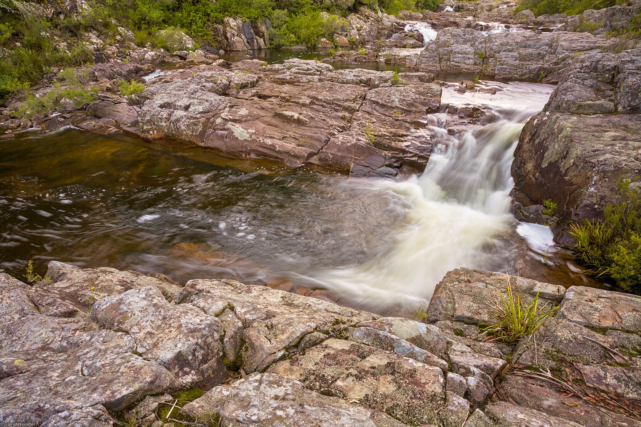
There are some great spots to have a dip along the river in the warmer months.
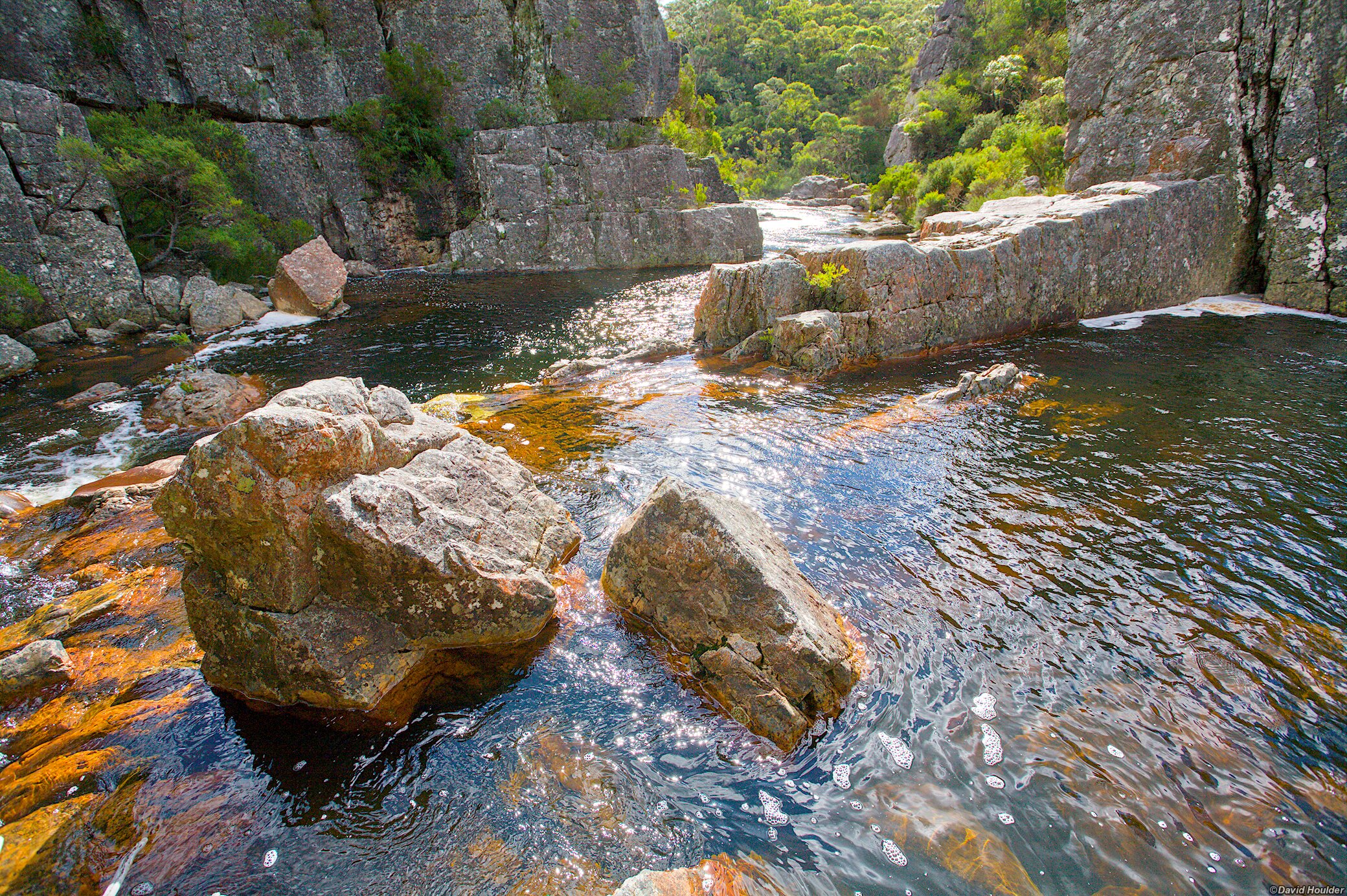
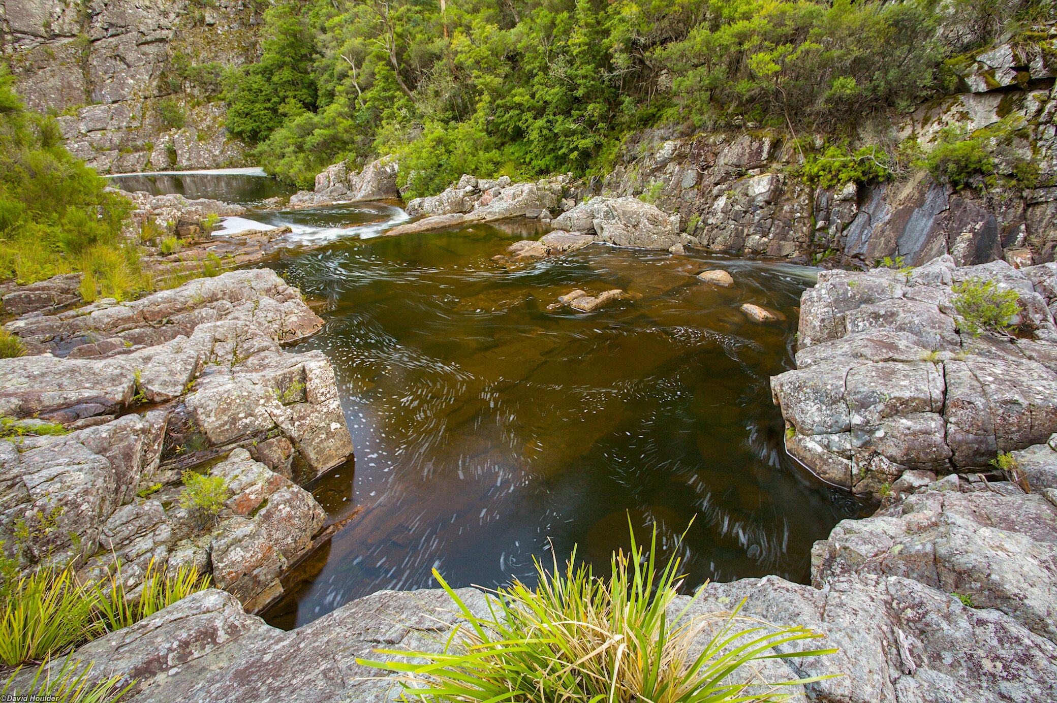
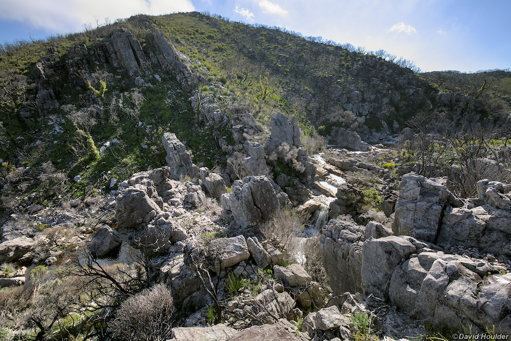
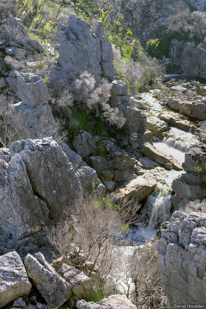
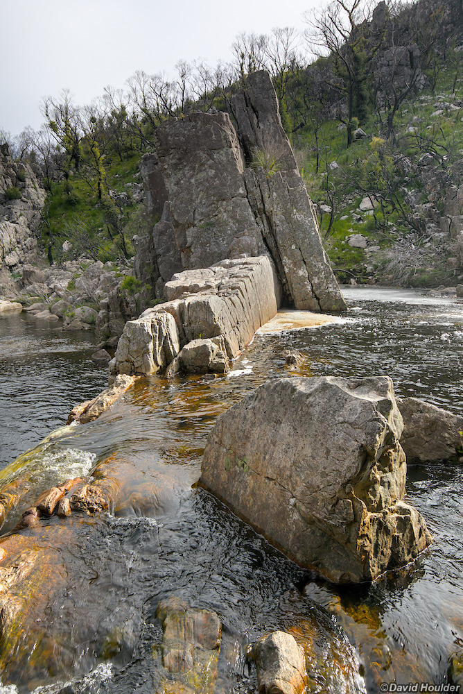
This photo and the ones below were taken before the 2019 bushfires.
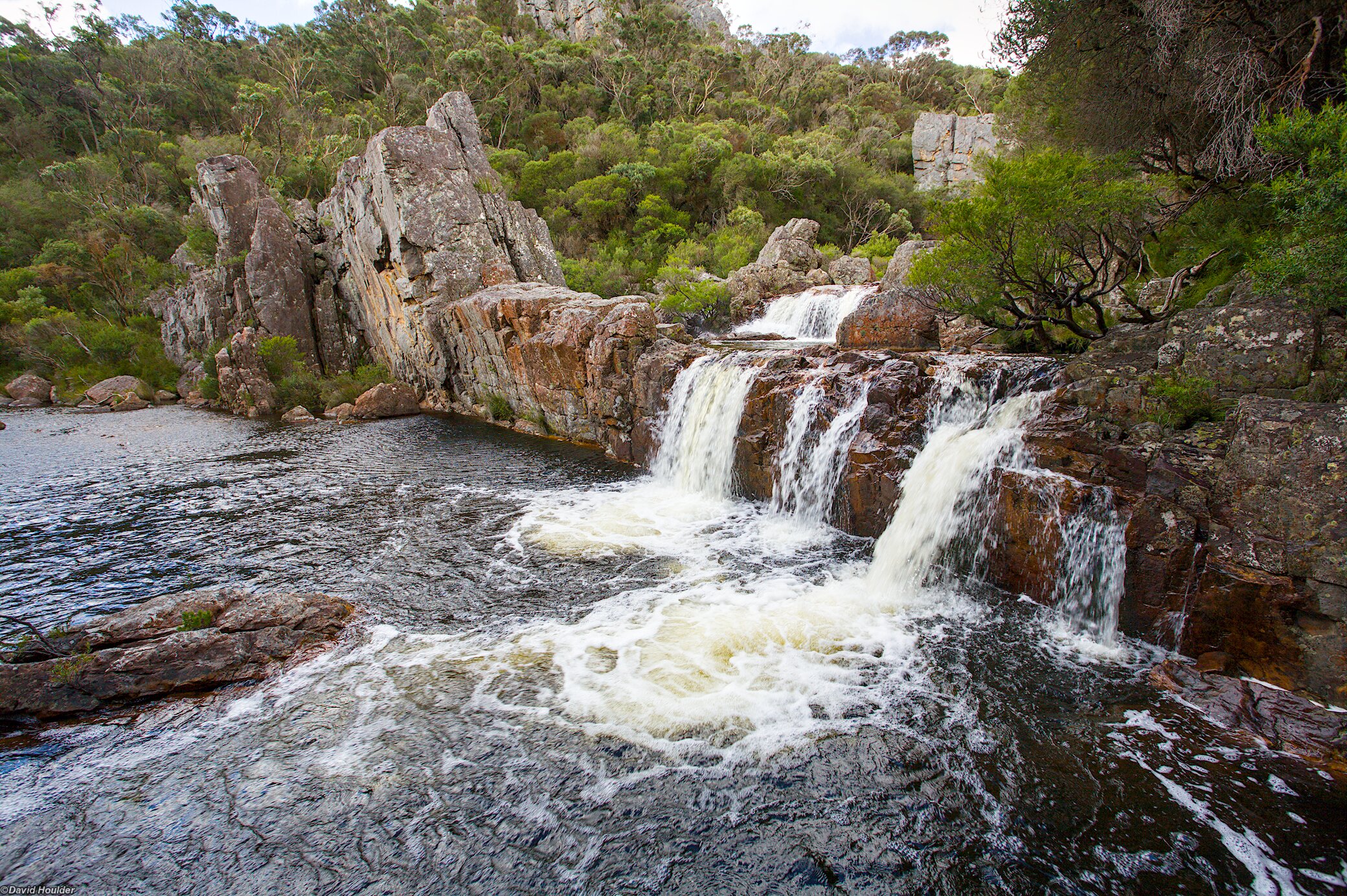
This is a great swimming hole at the western end of the Corang River track. You will probably need to access it from the northern bank to steer clear of the private property on the southern bank.