View Wog Wog to Cooyoyo Creek in a new window.
Note: indicated routes are approximate. Use official topographic maps for navigation.
Note: indicated routes are approximate. Use official topographic maps for navigation.
(Updated March 2021 to reflect changed conditions around Corang Lagoon)
Although this is an out-and-back walk, there are two sections where an alternate route is followed on the return leg, so it feels a bit more like a loop. It incorporates both the northern and southern routes through Monolith Valley, and the final two half-days follow the Corang River and tributaries instead of the main track to skirt around the Corang Peak area.
The trickiest part of the walk is following the southern east-west route through Monolith Valley from the east, but the rest of the walk is fairly easy, although boggy in parts, and follows reasonably well defined tracks.
There are toilets at Burrumbeet Brook and Cooyoyo Creek, and no fires are permitted at any of the campsites.
Thanks to Glen for the GPS track on the map above. I've edited it a bit to reduce the point density and remove some of the (sometimes intentional…) side trips. As always, take printed copies of the official topographic maps and a compass, and make sure you know how to use both. Most of the images I've used to illustrate this route are from two walks I did in November 2017 and April 2018, but I've also linked in a few from previous trips.
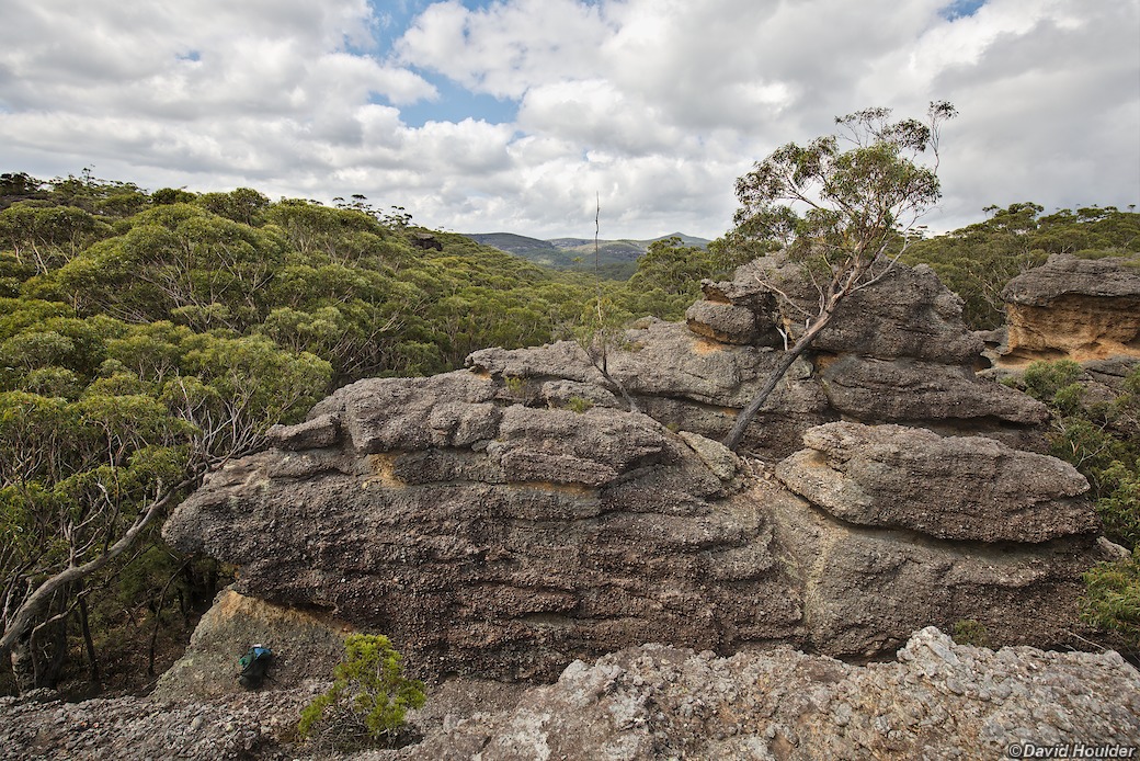
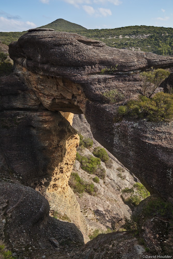
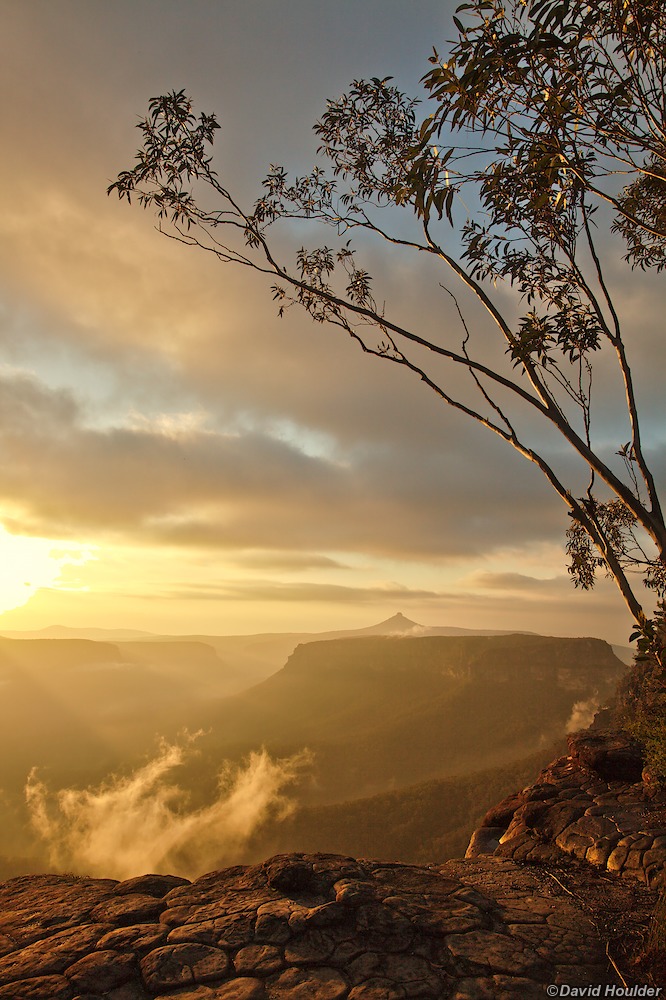
Corang Arch is situated off the western side of the track about a kilometre past Corang Peak (seen here on the horizon) and just before the descent to Canowie Brook.
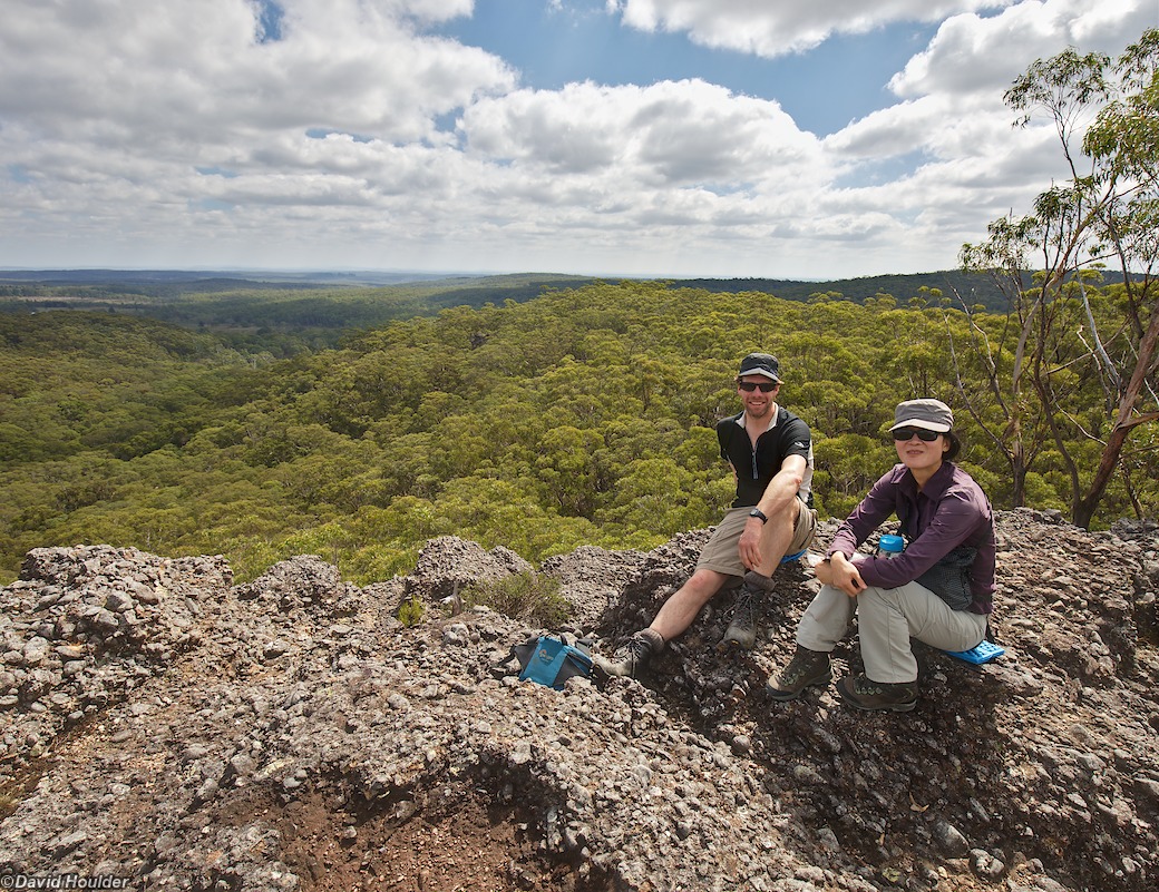
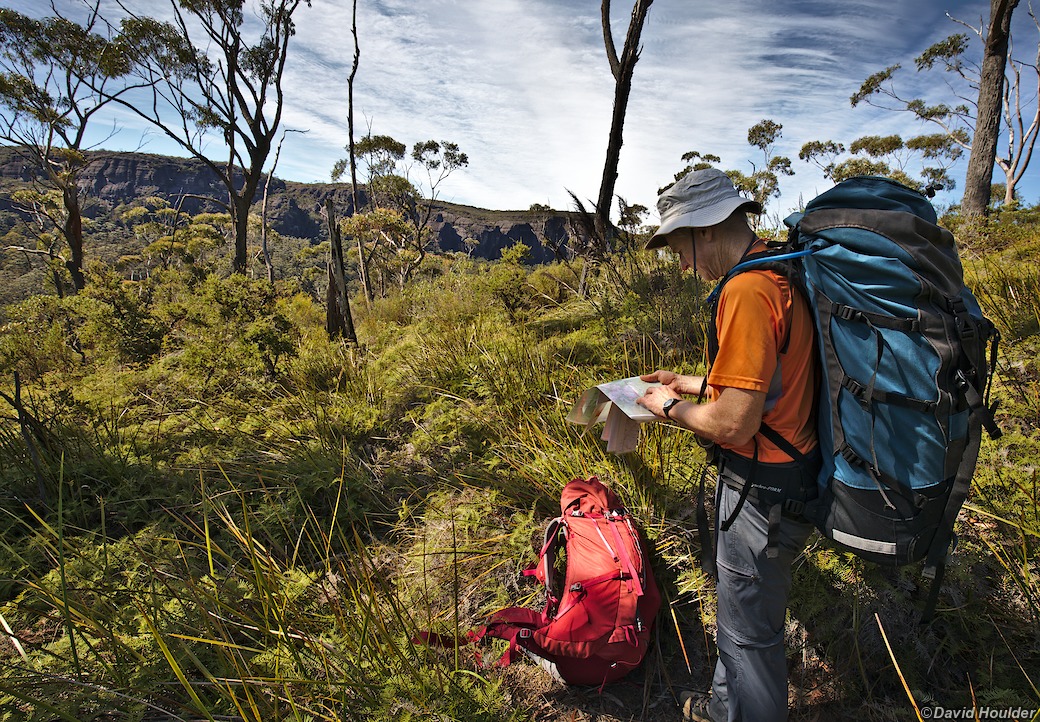
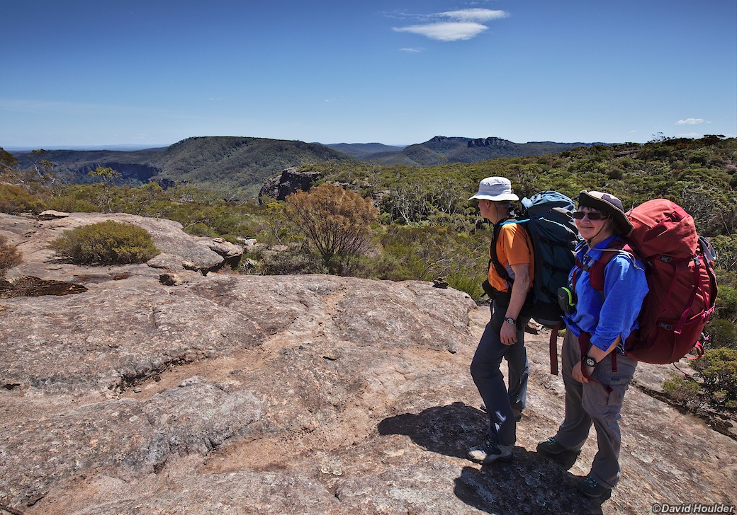
The main track from Wog Wog skirts around Corang Peak to the south-east, but there's an alternate route that goes over it if you're interested in a more expansive view.
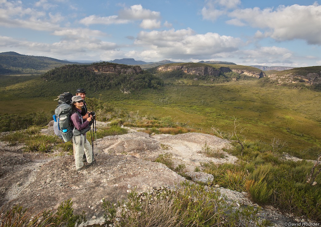
Shortly after Corang Arch the track descends down a conglomerate slope to Canowie Brook, seen here running right to left in the broad valley in the middle of the picture. Burrumbeet Brook runs through the gap at the top right.
There are a couple of nice campsites near the foot of the descent, and several more further along in the Burrumbeet Brook valley.
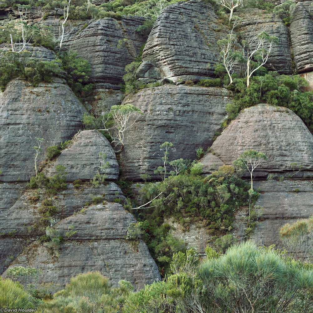
The track through Monolith Valley climbs out of the rainforest grotto and into more open heathland. Here we see the cliff face of Shrouded Gods Mountain which forms the north-east corner of Monolith Valley.
A short stroll from the Cooyoyo Creek campsite reveals this fantastic view over Pigeon House (Didthul), Byangee Walls and the Clyde valley.
As with most areas in the Budawangs, the Cooyoyo Creek campsite is a fuel-stove-only area so, as appealing as they are, campfires are not permitted. Do your best to leave no trace.
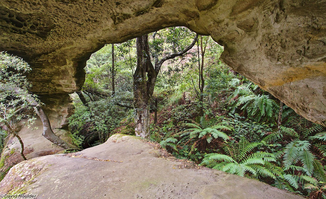
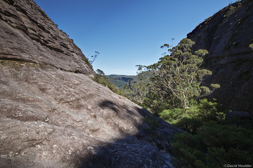
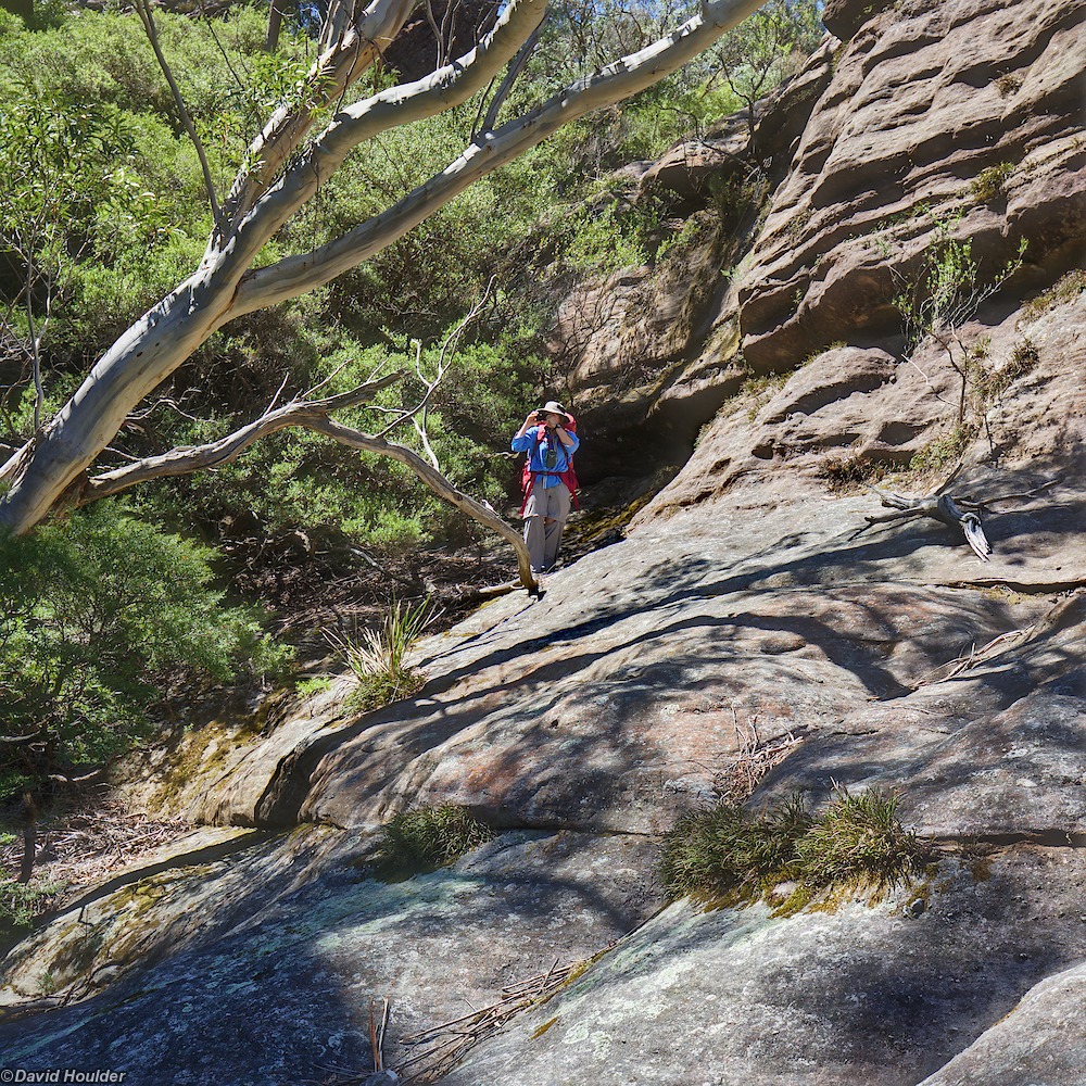
The southern route through Monolith Valley starts by winding through little pockets of rainforest. As noted in the introduction, this track is not as well defined as the more popular northern route, and the start is a little difficult to discern.

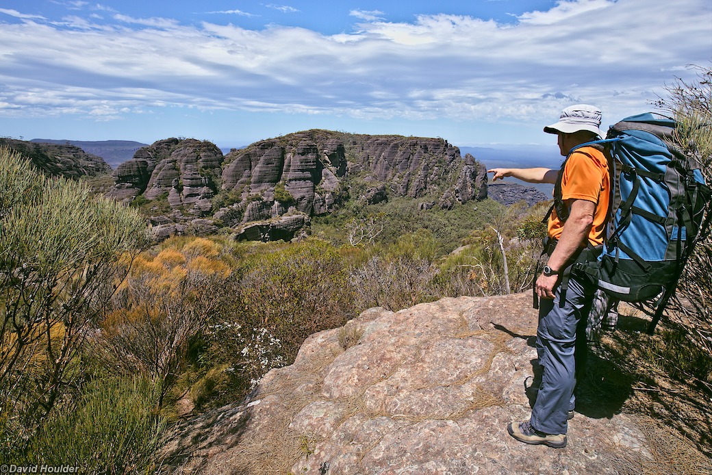
The route along he flank of Mt Owen is marked by cairns, along with some short tracks through the Banksia scrub.
The "summit" of Mt Owen is only a few metres higher than this point, and there's an easy side trip that you can take to get a view to the south.
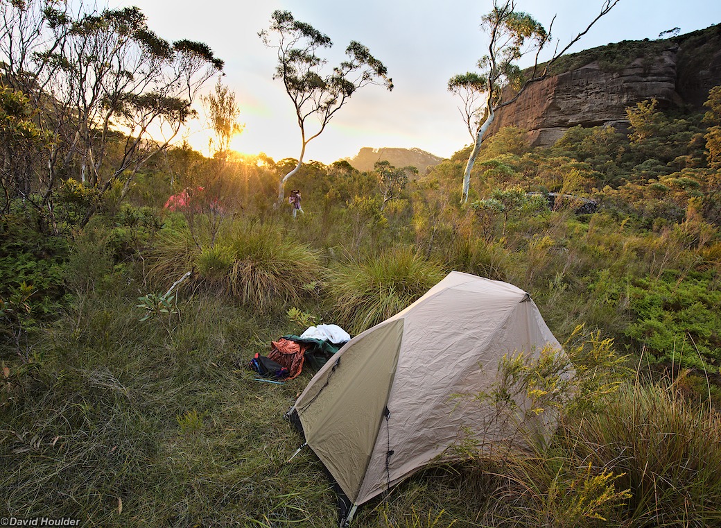
In a valley between Mt Tarn and Mt Bibbenluke is this nice little campsite for three or four tents. That's Mt Tarn on the horizon.
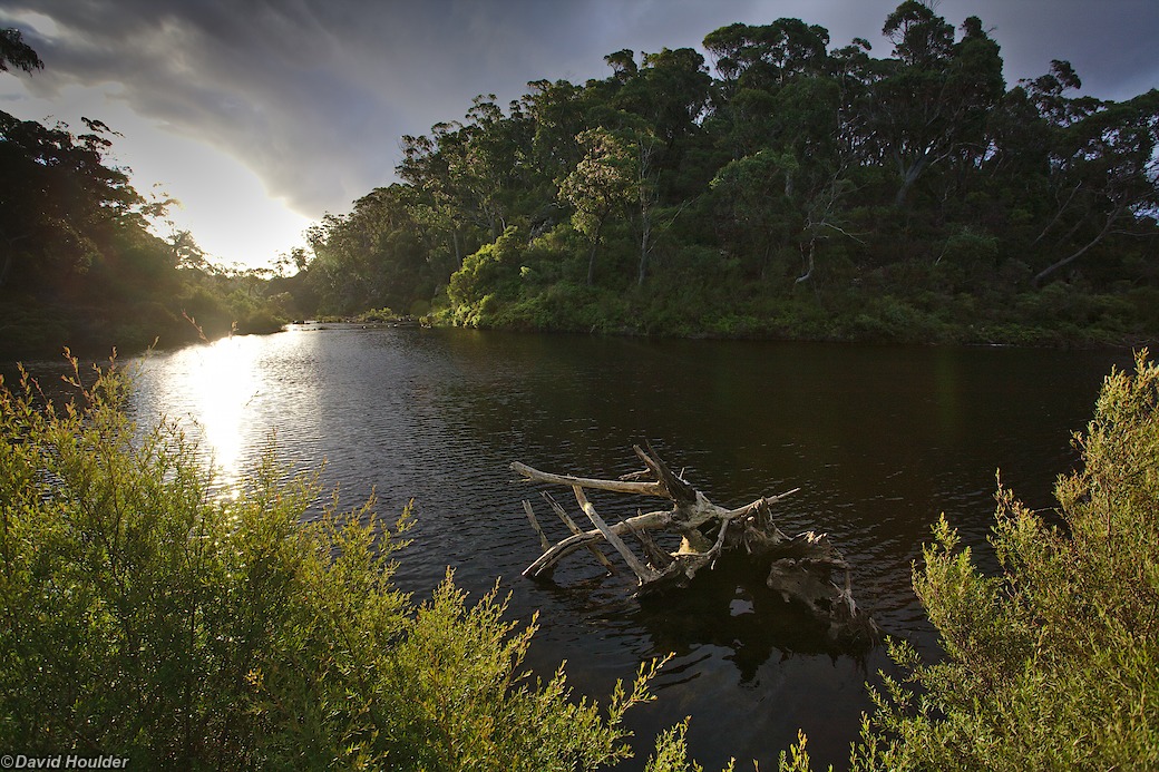
There's usually water here in a little stream that eventually becomes the Corang River, but it doesn't have a huge catchment and may dry up in very dry periods.

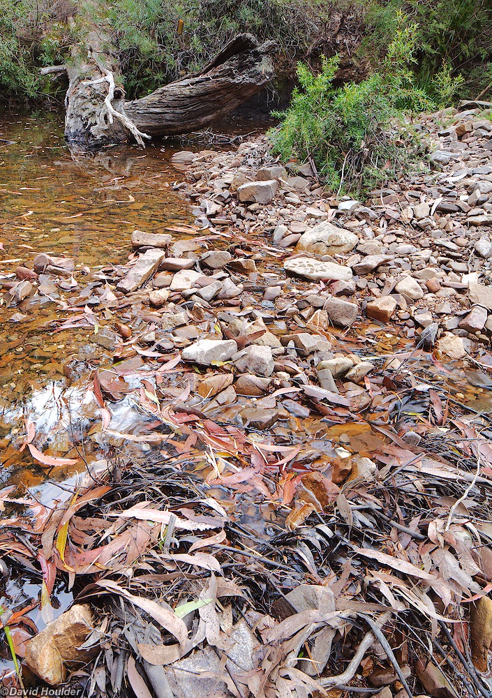
From the Corang River campsite there are a couple of creeks to cross before you hit the main Corang→Wog Wog track. Goodsell Creek is probably the most significant, and well situated for a snack break.