Tarkine Coast
Tarkine Coast walk 🔗
Takayna (or The Tarkine )is an area of outstanding natural beauty in north-west Tasmania. It contains areas of significant ecological and aboriginal cultural importance, but has little protection from industrial development and exploitation. Amongst other things, it's home to some of the last disease-free Tasmanian Devils left in the wild, and the endangered Tasmanian masked owl. You can find out more at the takayna / Tarkine campaign webpage.
There's no road access to the start of this walk. Probably the best idea is to book a seat on the Pieman River cruise. that starts at Corinna. You can get to Corinna by road fairly easily, but be aware that if you approach from the south there is a vehicle ferry across the river that only operates in daylight hours. There's accommodation at Corinna (cabins, camping, even a pub), and the operator runs boat trips up and down the river. They can drop you at the river mouth and pick you up again a few days later.
This walk follows a coastal track from the mouth of the Pieman River north to the Interview River. While in theory the return walk can be done in two days, the ferry timetable will dictate your arrival and departure times at Pieman Heads. If you have the time, you can continue north to Temma, and I've included a few images from day walks in that region. That longer walk takes about six days and is described in Tarkine Trails
Most of these images are from a walk I did as part of Tarkine in Motion 2016, an awareness-raising event organised by the Bob Brown Foundation, and a subsequent trip in 2024 for Art for takayna. Many thanks to the organisers for all their efforts. See the website or Facebook page for more information and details of any exhibitions of work resulting from the event.
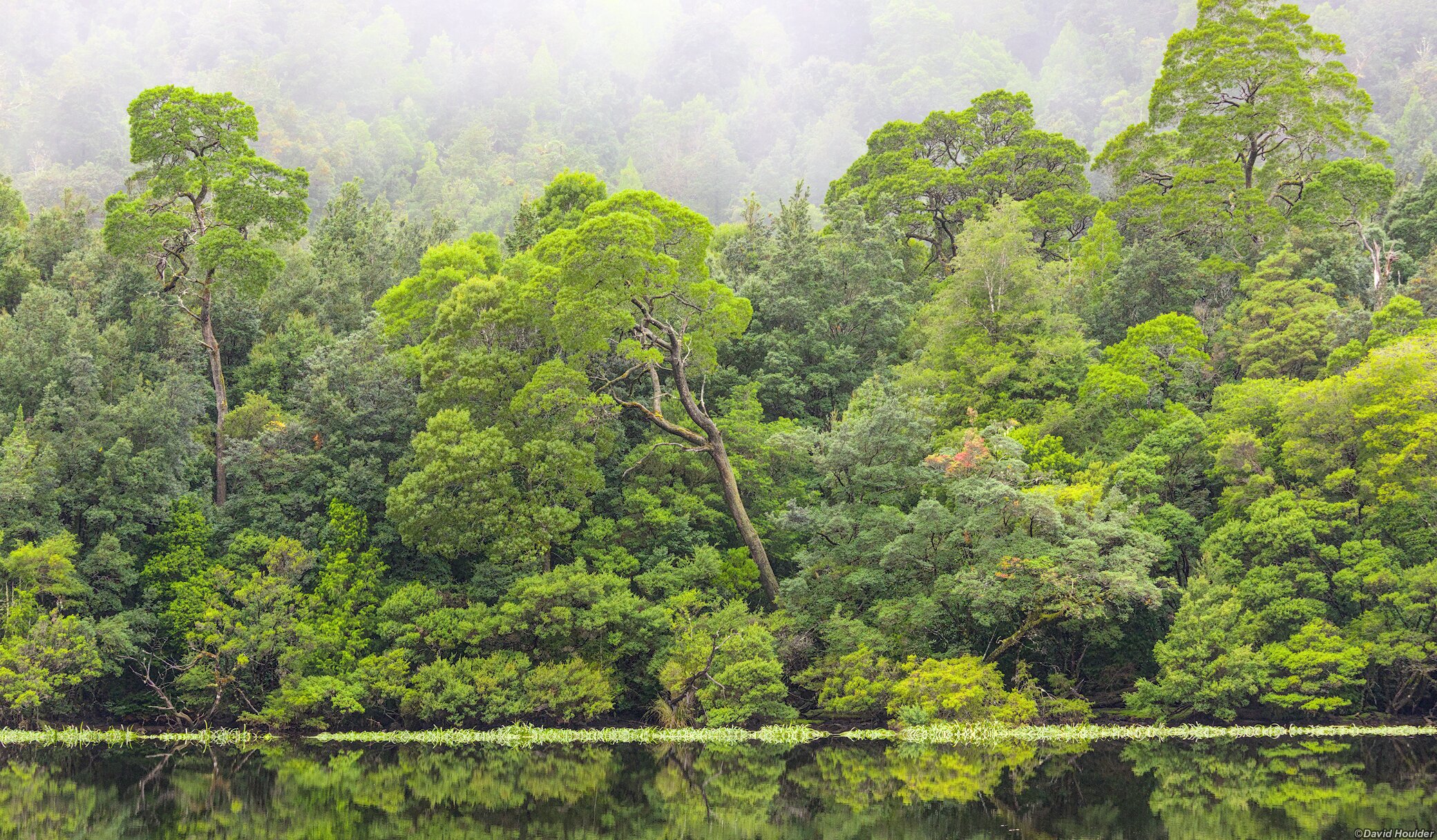
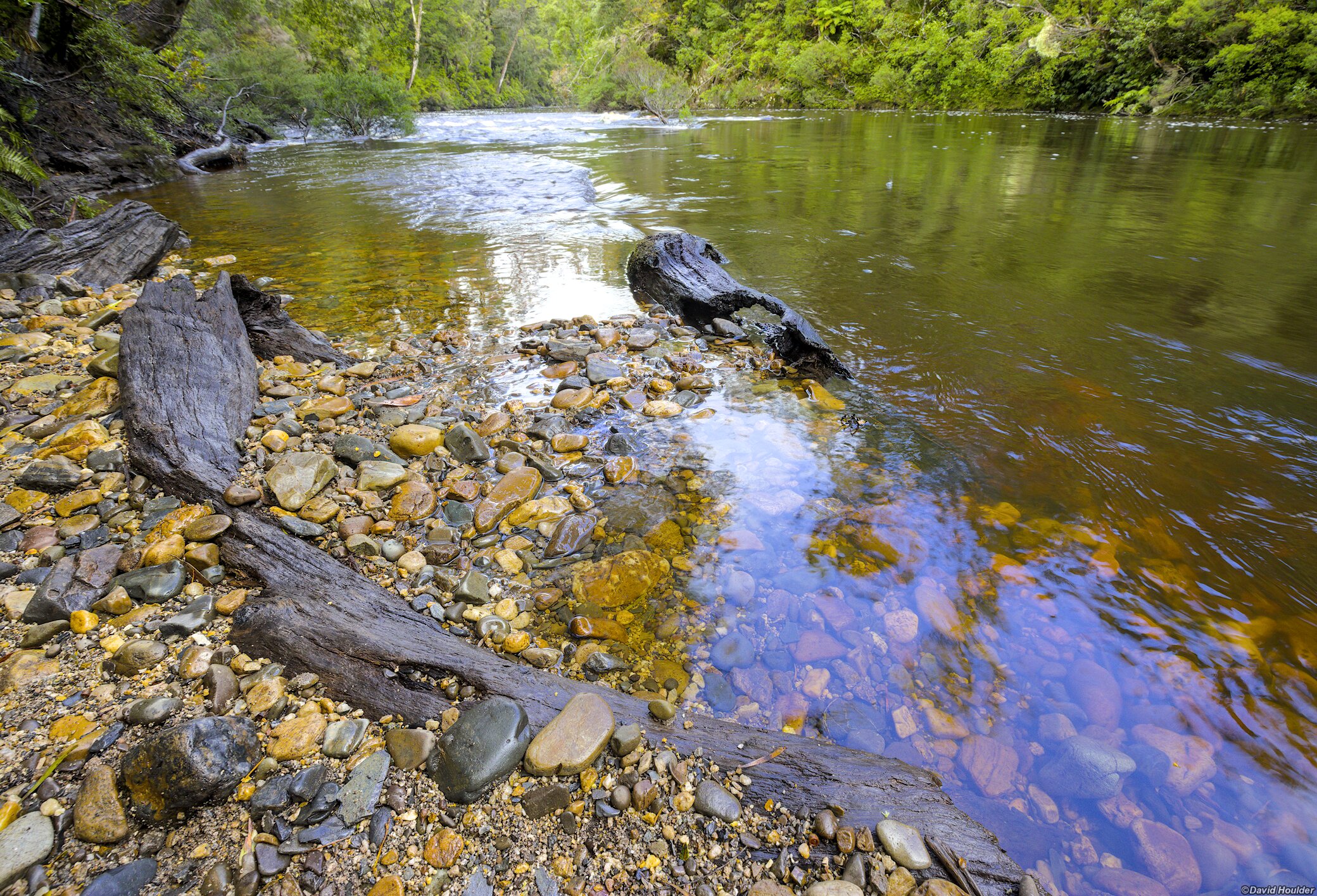
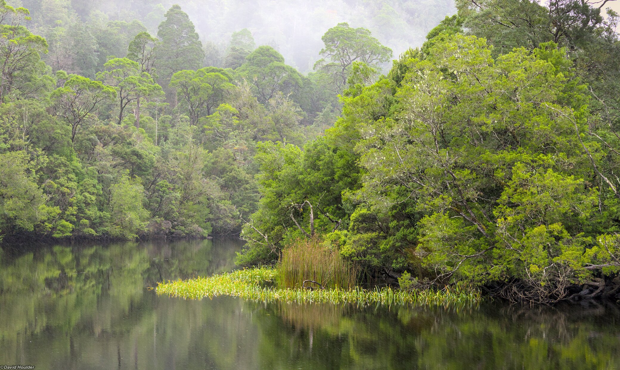
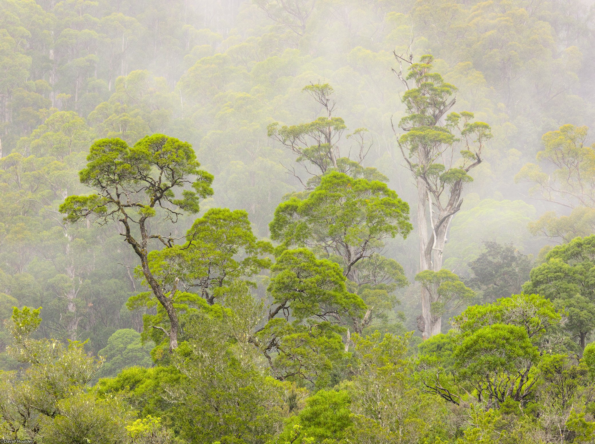
The northern bank of the Pieman River as seen from the deck of the MV Arcadia II, a charming 17m vessel built from Huon Pine in 1939. This rainforest is typical of much of the wetter, undisturbed parts of the Tarkine.
The trip down the river on the Arcadia II takes about 90 minutes. The tour operators also have a smaller boat that can do the trip in about half that time, but it's not as enjoyable.
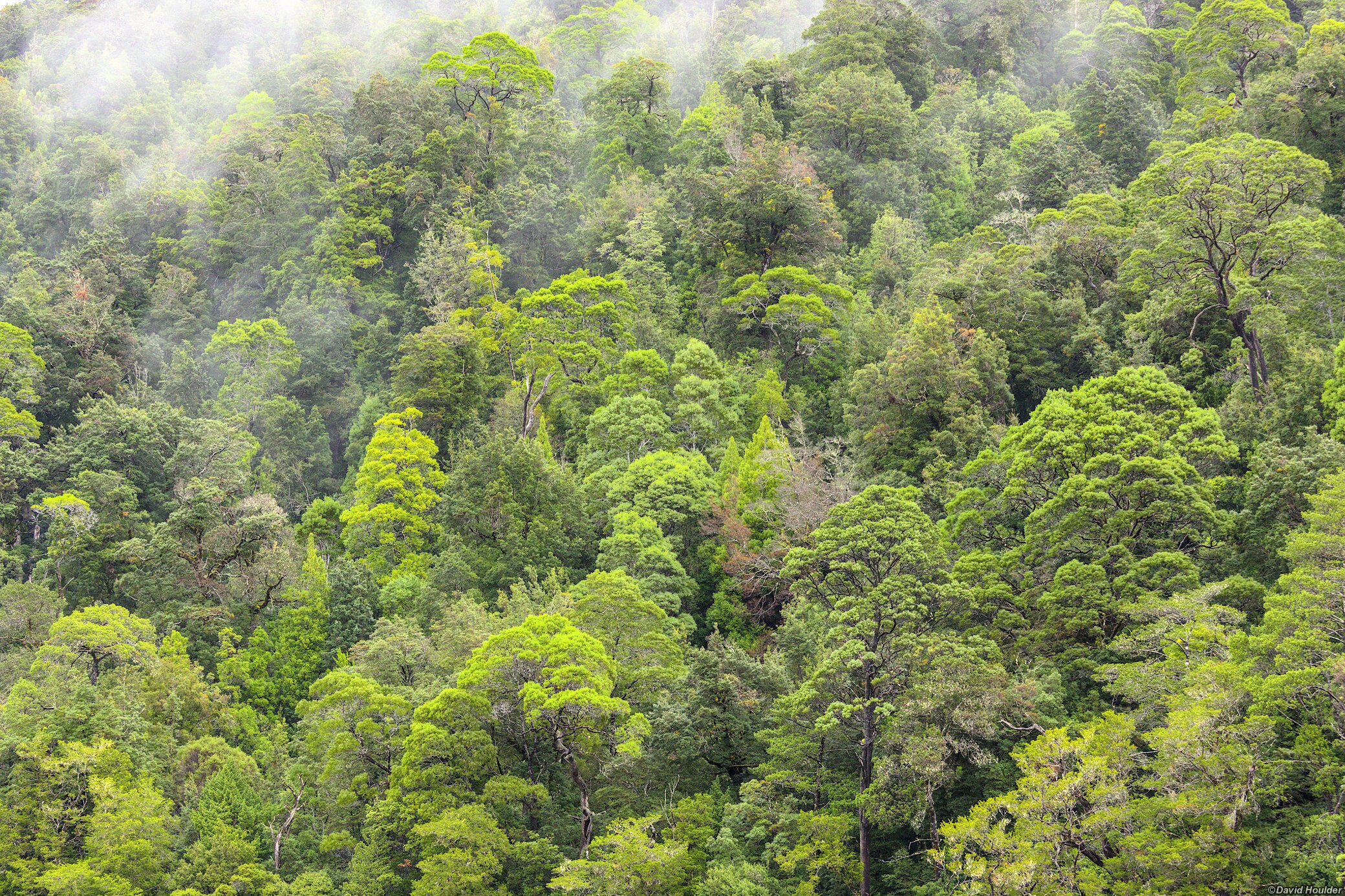
The southern bank of the river This is the sunny side, with notably different vegetation to the rainforest on the northern bank.
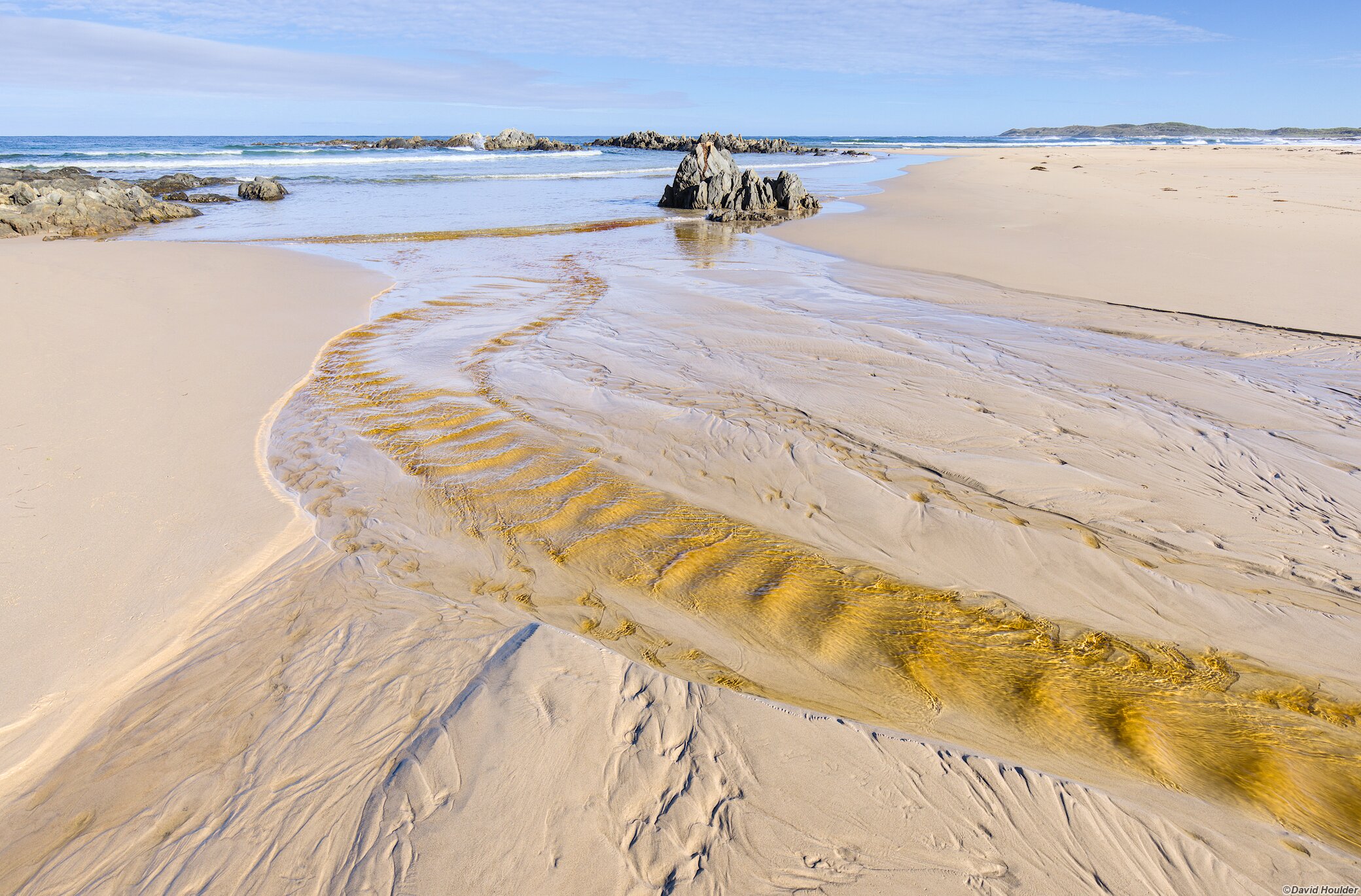
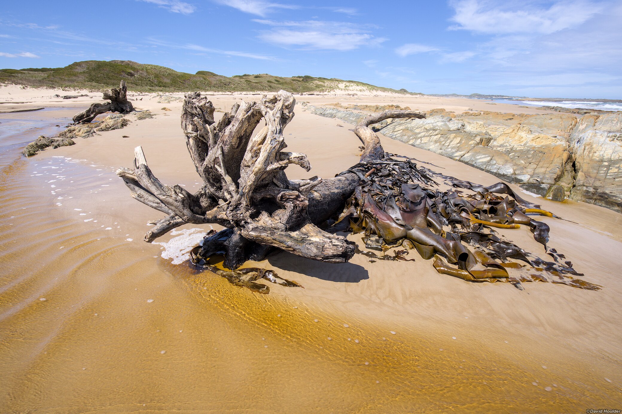
The track north from Pieman Heads 🔗
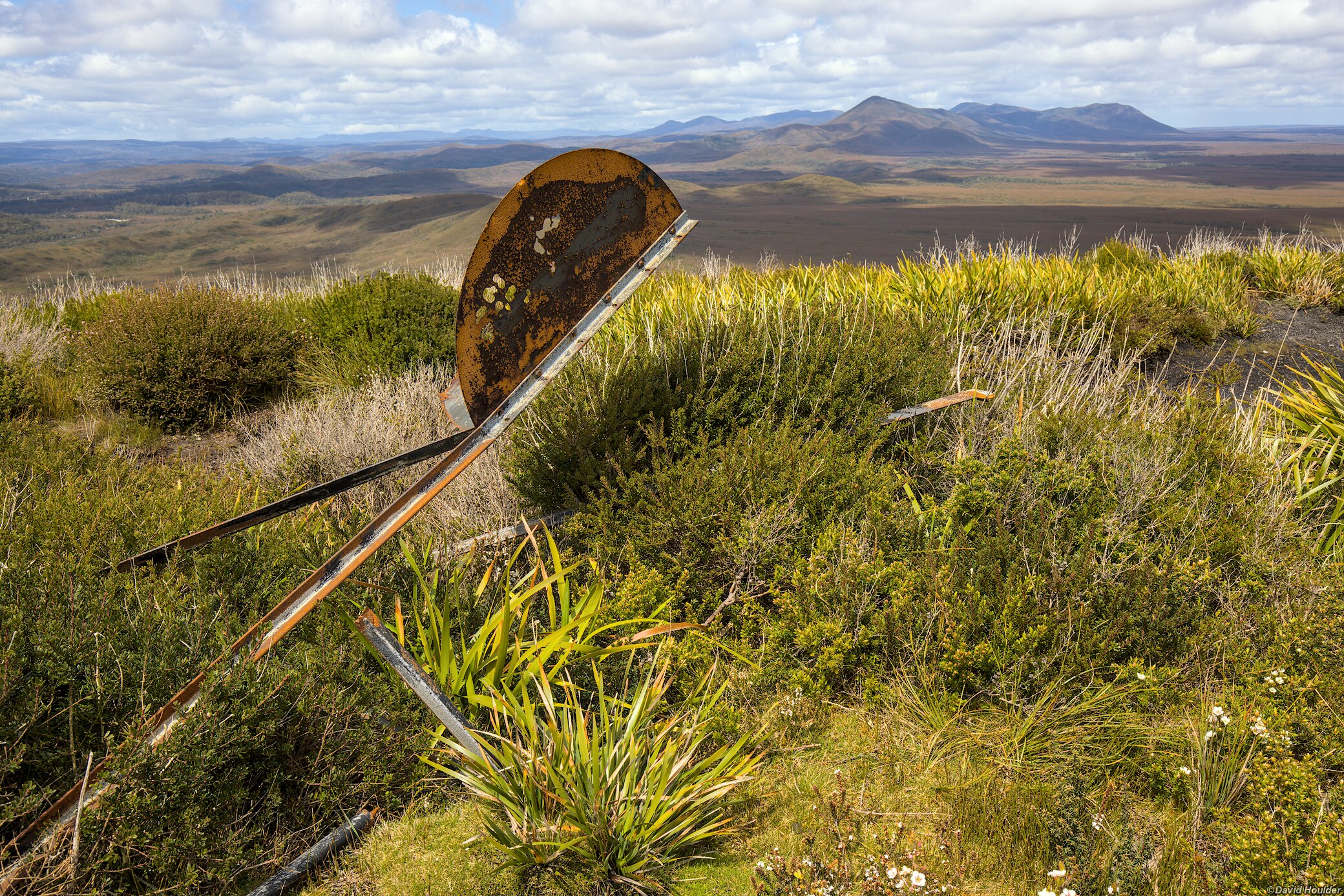
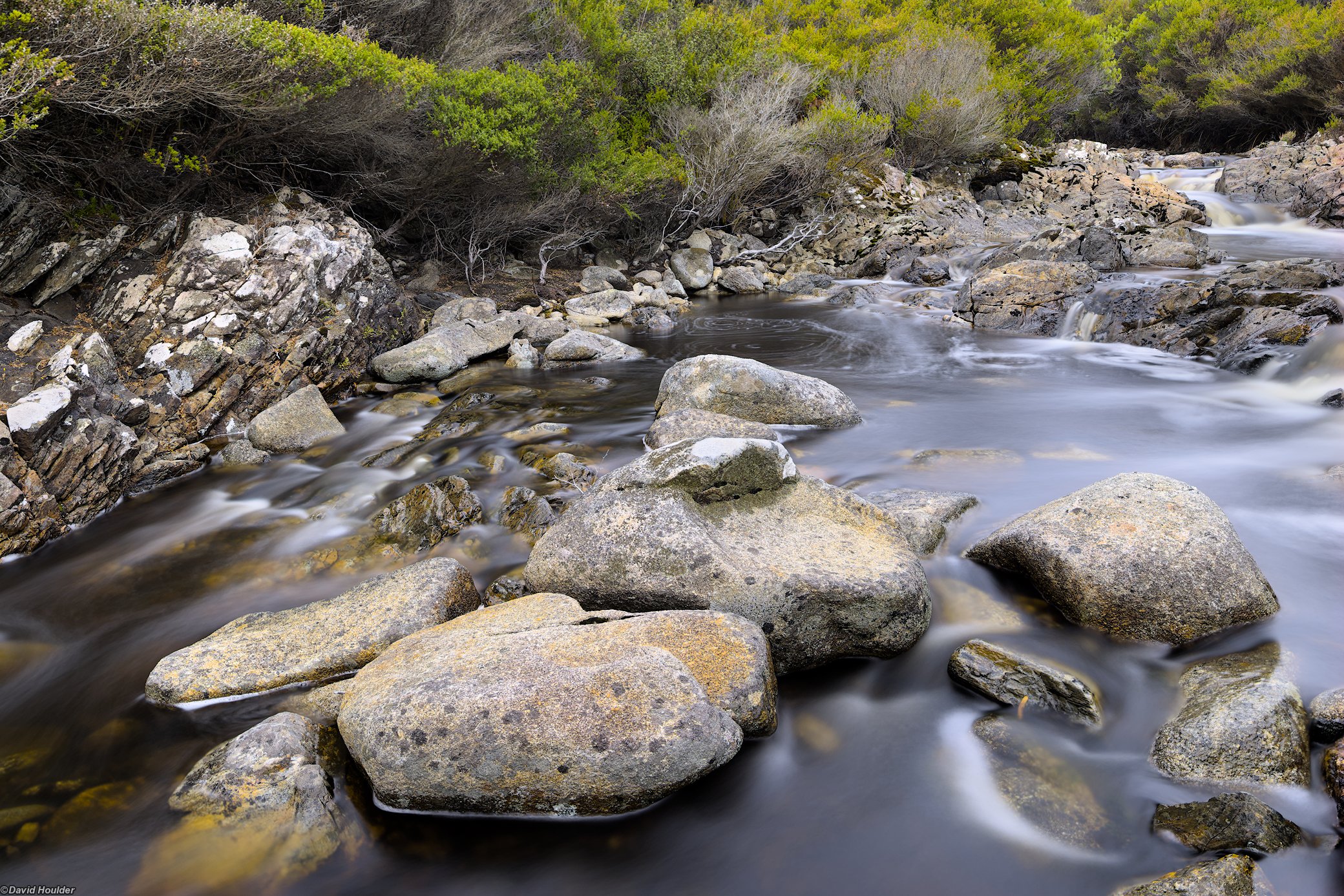
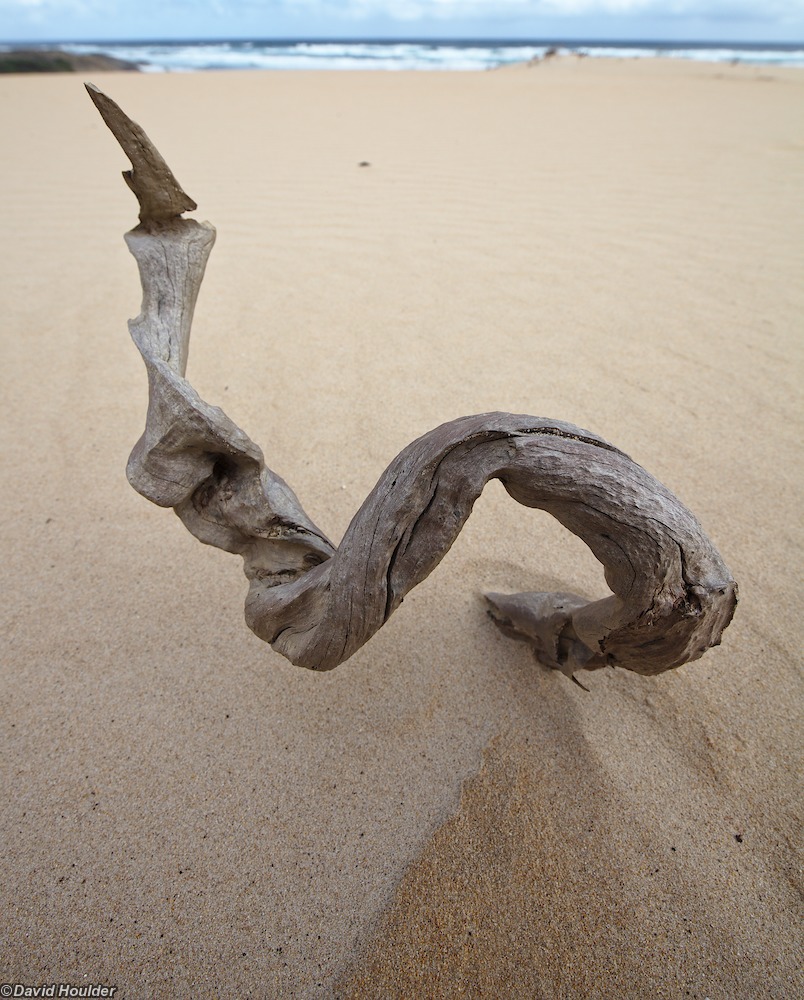
Most of the track is through heathland and vegetated sand dunes, and years of 4WD traffic has eroded it to more than a metre deep in many places. At the time of writing, this area of the coast is off-limits to vehicles and we didn't encounter any, but there is pressure to have the area reopened. Fresh water is available in several creeks along the way, but as always, they may dry up if there's been no recent rain, and be prepared to treat your drinking water. Ford Creek and Rocky Creek are probably the most reliable sources of water between Pieman Heads and Interview River.
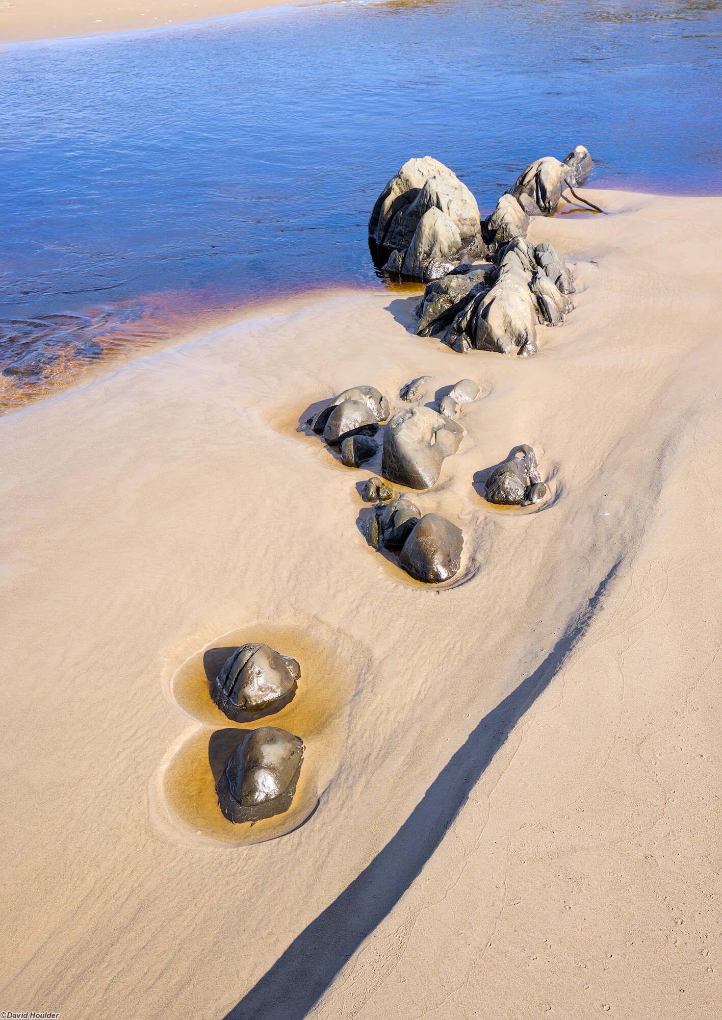
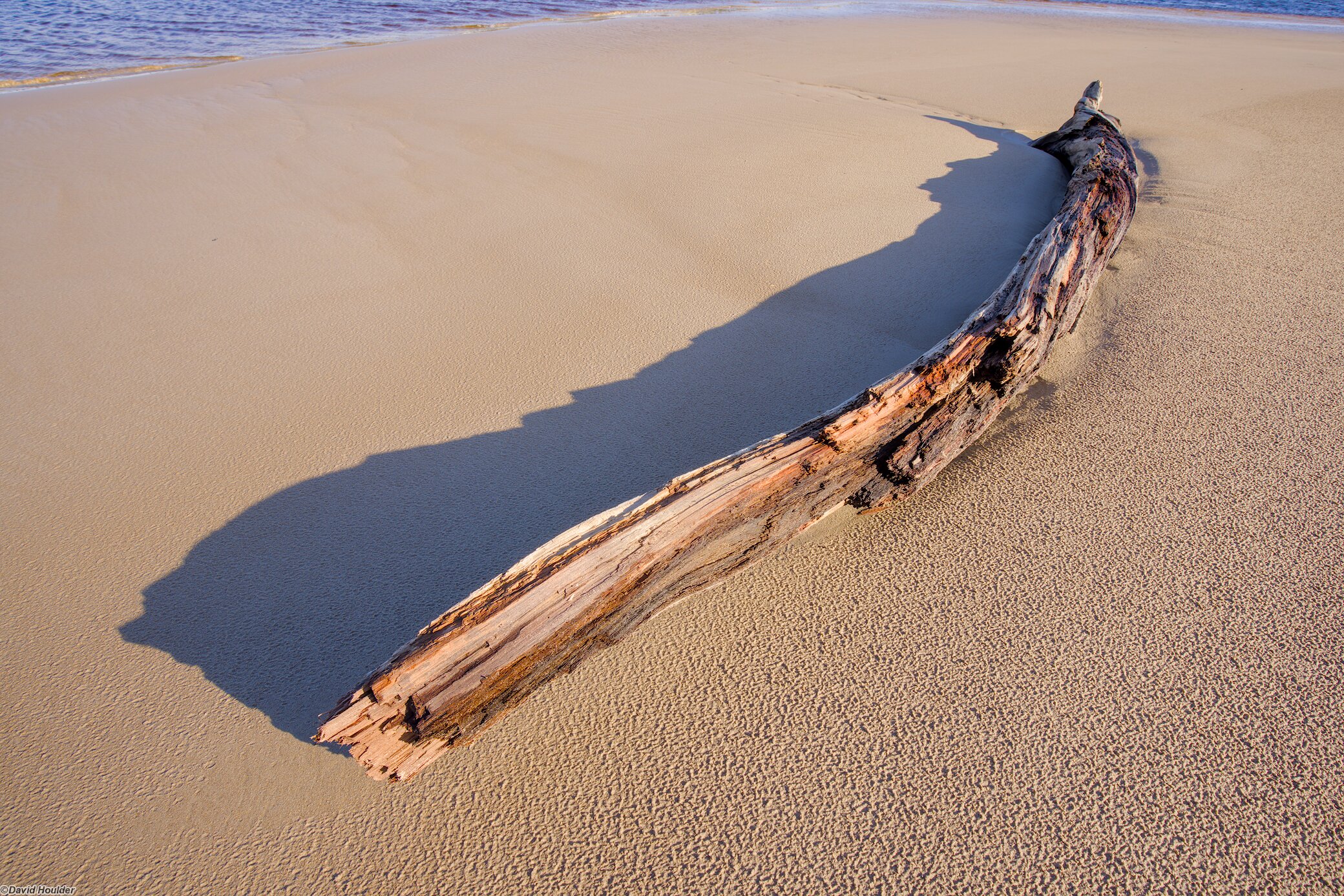
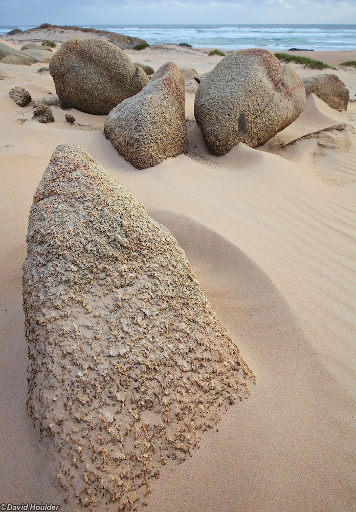
It's a reasonably easy one-day walk to get to the Interview River campsite, where we made camp for two nights. This point marks the end of the defined track. Continuing north from here involves beach walking and traversing large sand dunes, with wind-blown sand covering any tracks within hours.
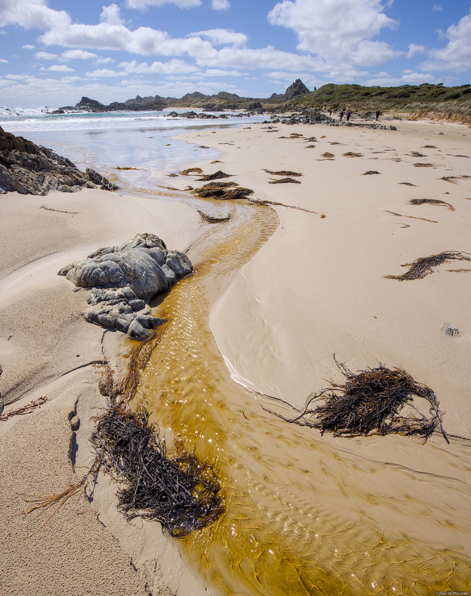
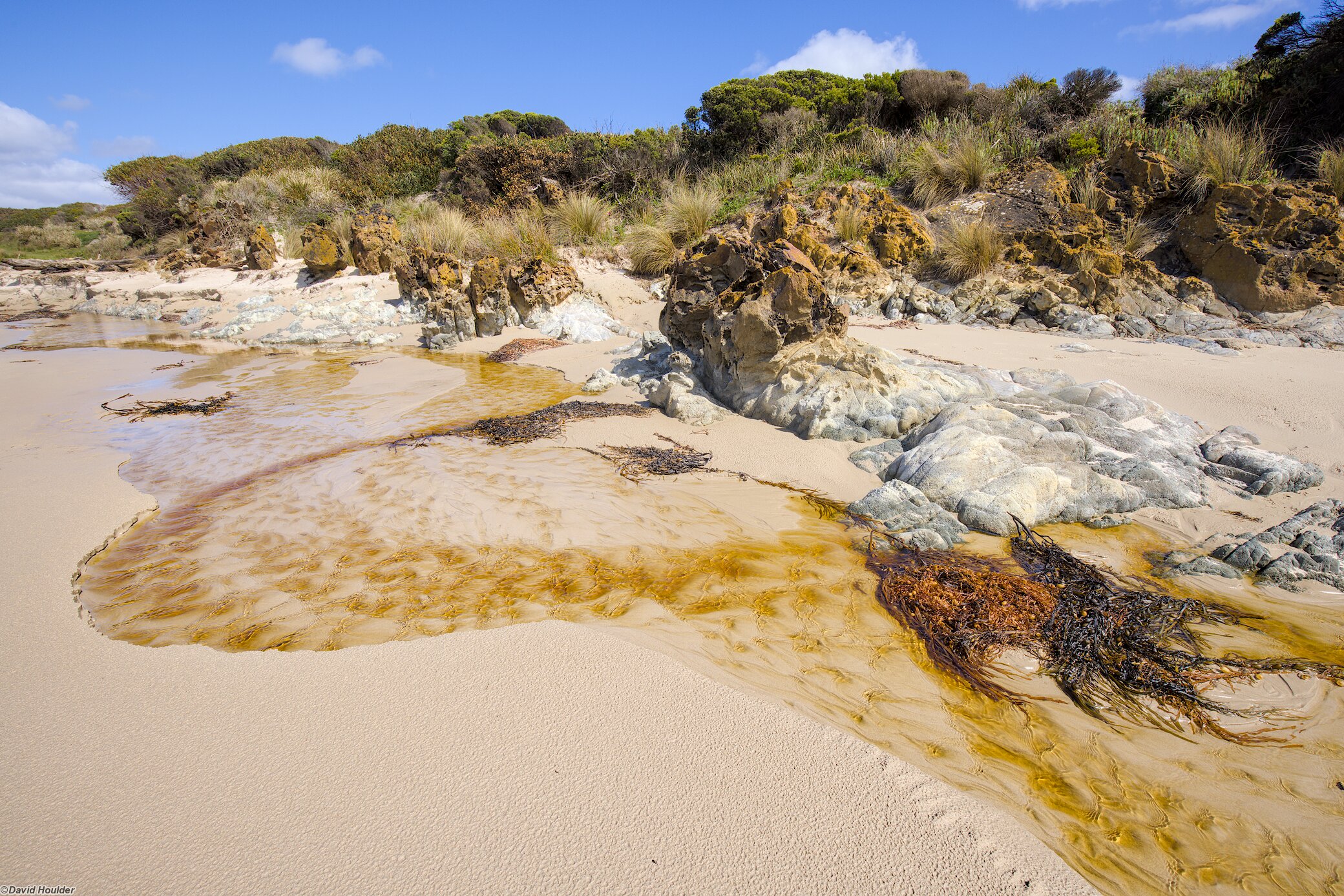
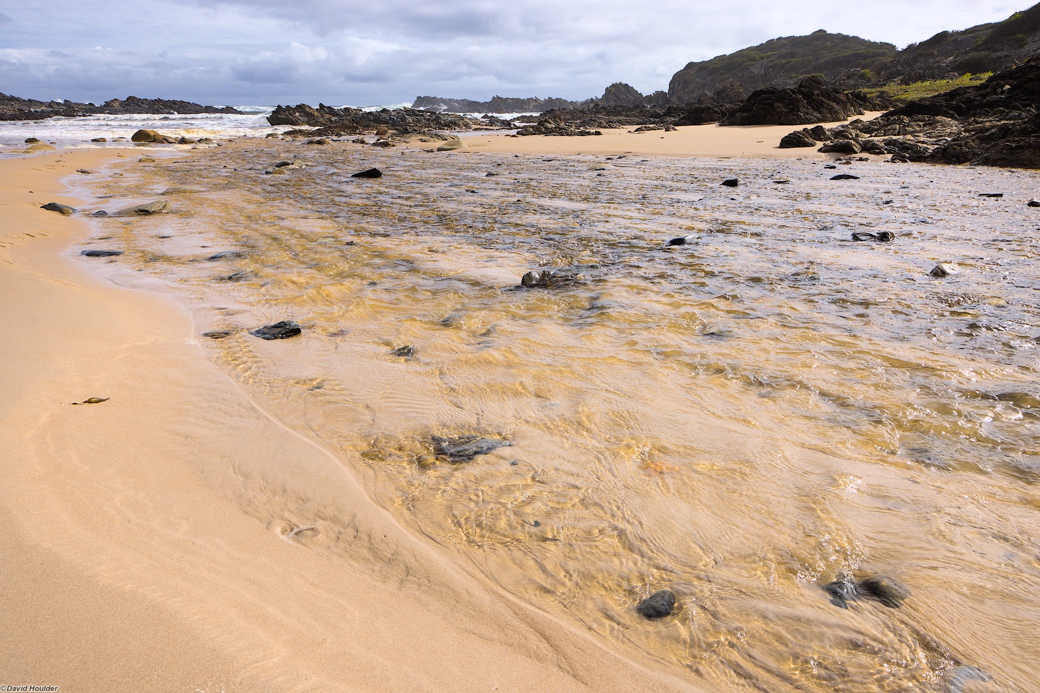
Interview River itself can be reached by walking a few hundred metres further north over some dunes. You can get fresh water from the river provided you go about 200m upstream from the beach, away from the tidal zone.
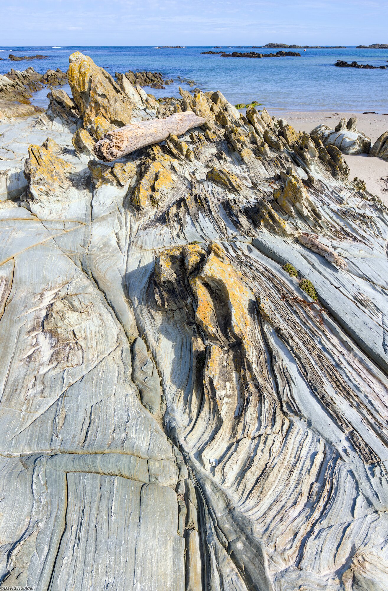
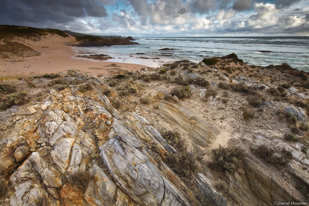
The Tarkine coast is constantly battered by the Roaring Forties. - if you head west from here it's ocean all the way to Argentina.
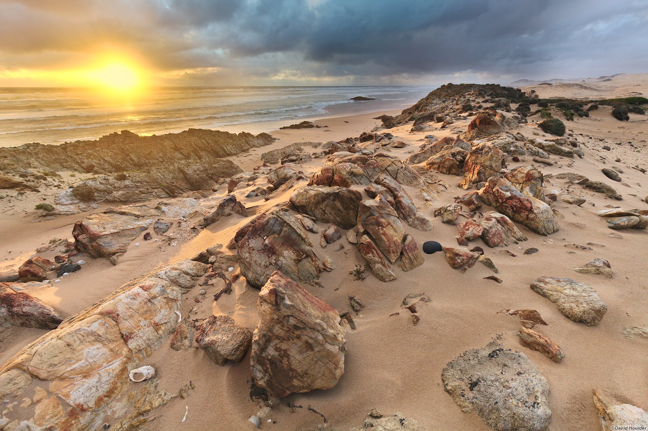
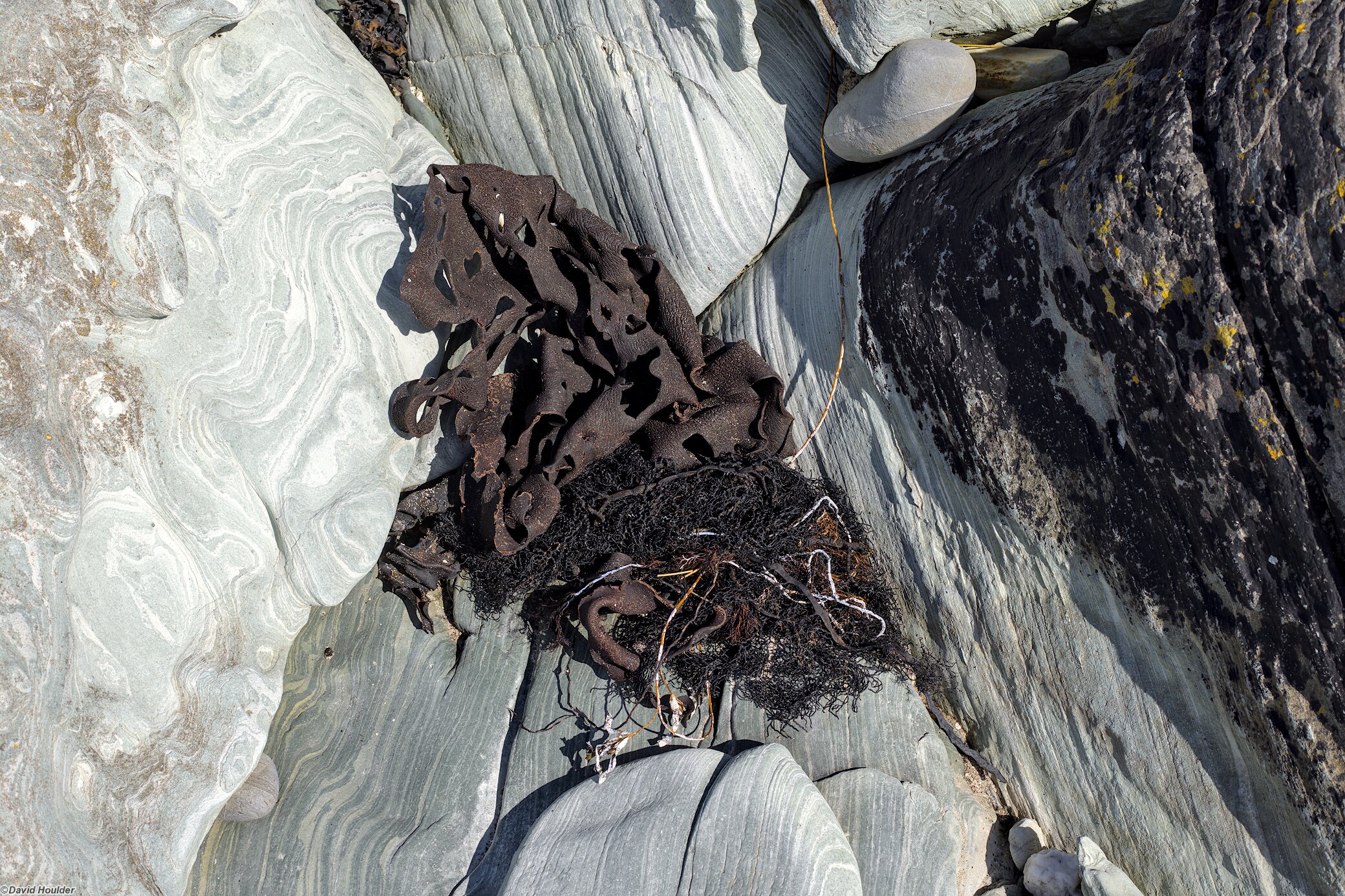
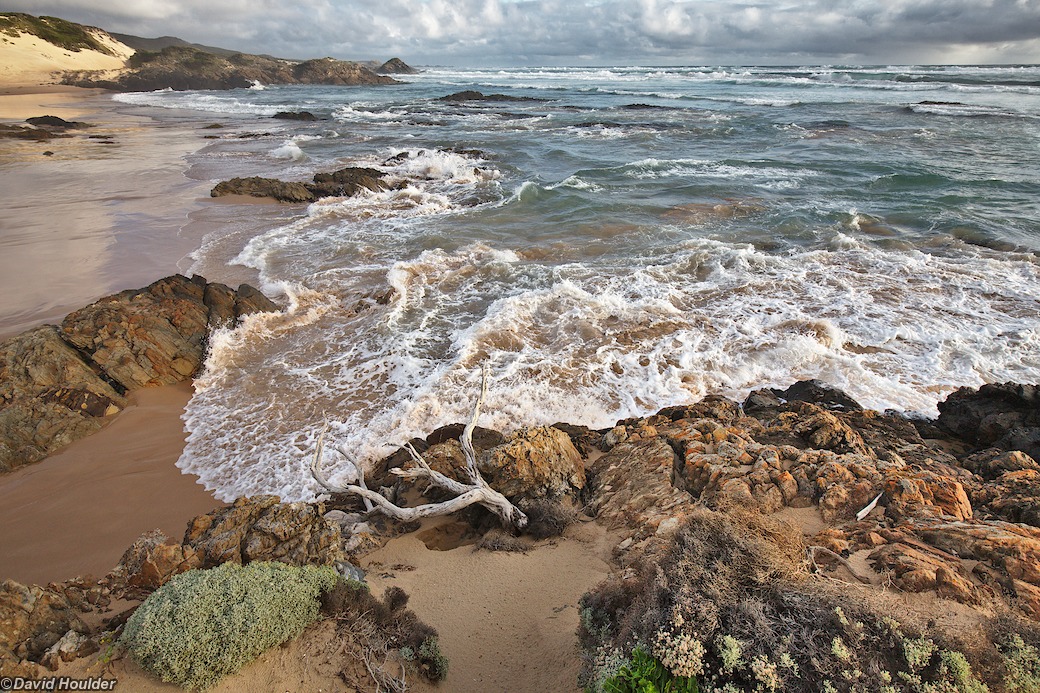
We had less than 48 hours at Interview River, and the light was pretty ordinary for most of it, with this one fleeting exception on the first afternoon. Clearly I need to go back and stay a bit longer…
Arthur River region 🔗
The images below are from day walks south of Arthur River.