Munjina to Bee Gorge
This is a spectacular and arduous walk in Karijini National Park in far north-west Australia.
This is a walk for experienced parties only. People have got lost trying to follow this route and have had to be rescued. If you're thinking of doing it, read the warnings below first. Note that the Karijini park brochure (available here) says:
If hiking overnight, please contact the visitor centre or park rangers. Some activities such as camping in non-designated areas, abseiling and canyoning may require permission from the department before being undertaken
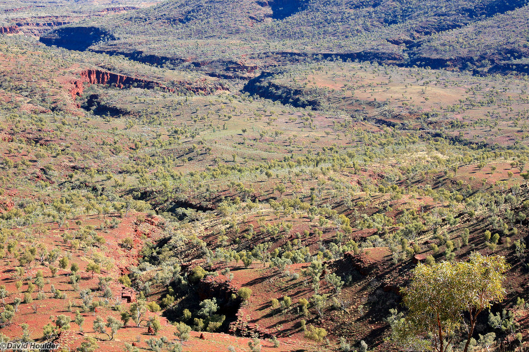
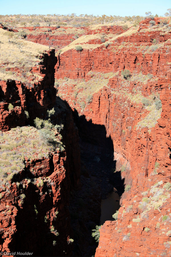
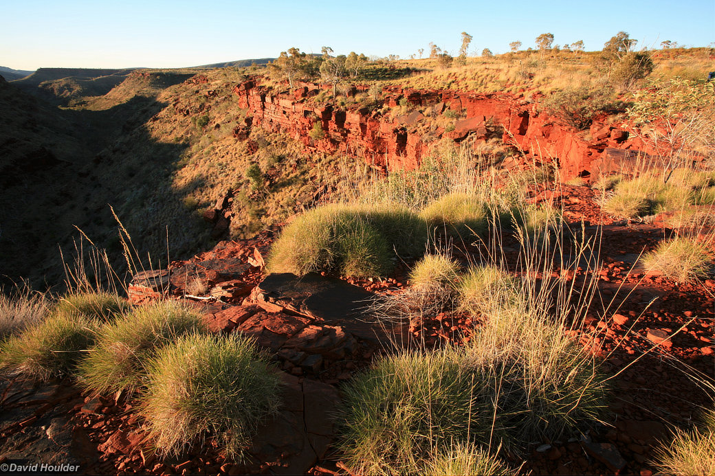
The walk includes many of the more popular areas, such as Dales, Kalamina, Knox, Hancock, Weano and Joffre Gorges, but also has a fair bit of open country walking.
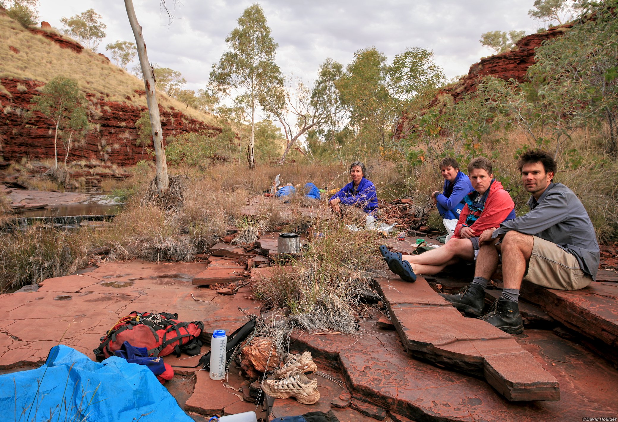
I did this walk with friends Dave, Judy, Ian, Peta and Helen in July 2008. Many thanks to Ian and Peta for planning the route, distributing maps and walking info, providing the lilos and other useful gear, grocery shopping and food drops. The least I can do in return is recommend some of their outdoor gear. I've been using a WE pack for about 15 years and it's still comfortable and going strong. Extra thanks to Dave and Ian for superior navigation skills.
We spent 8 days walking and paddling the route indicated above, relying on food drops at Dales Gorge, Joffre Falls and Weano Gorge,
Warning: This is not a walk for the inexperienced. Since originally publishing this route and these warnings on this web page, I have been contacted by the Karijini rangers after they had to rescue a lost party trying to follow this route. As mentioned above, you need to get permission from them before attempting this walk.
- Very little of this walk is on marked trails.
- You will need ropes to get up Snell Gorge.
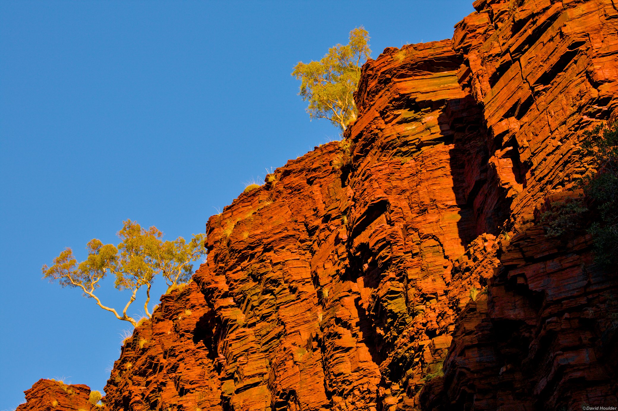
- Many of the slopes and cliffs are made of sharp and crumbly rock.
- The vegetation can be extremely spiky.
- You will need the appropriate maps and a compass and you need to know how to use them. By all means take a GPS, but if it breaks or the batteries run out you will need printed maps.
- Take a Personal Locator Beacon
- There's no mobile phone coverage.
- Water can be either scarce or torrential.
- Don't go into the gorges if rain is likely.
- In winter the temperature will get below freezing at night and in summer it will often be much hotter than 40°C.
- Parts of the walk involve swimming and floating your pack, and the water can be cold.
- Bring footwear suitable for walking in water as well as sturdy walking boots.
- The route on the map above was plotted a few months after the walk and may not be accurate.
This walk is covered by the following 1:50,000 topographic maps
- Mount George 2653-3
- Joffre 2553-2
- Mulga Downs (Optional. Shows the last few km of the track in the floor of Bee Gorge to the Wittenoom Road)
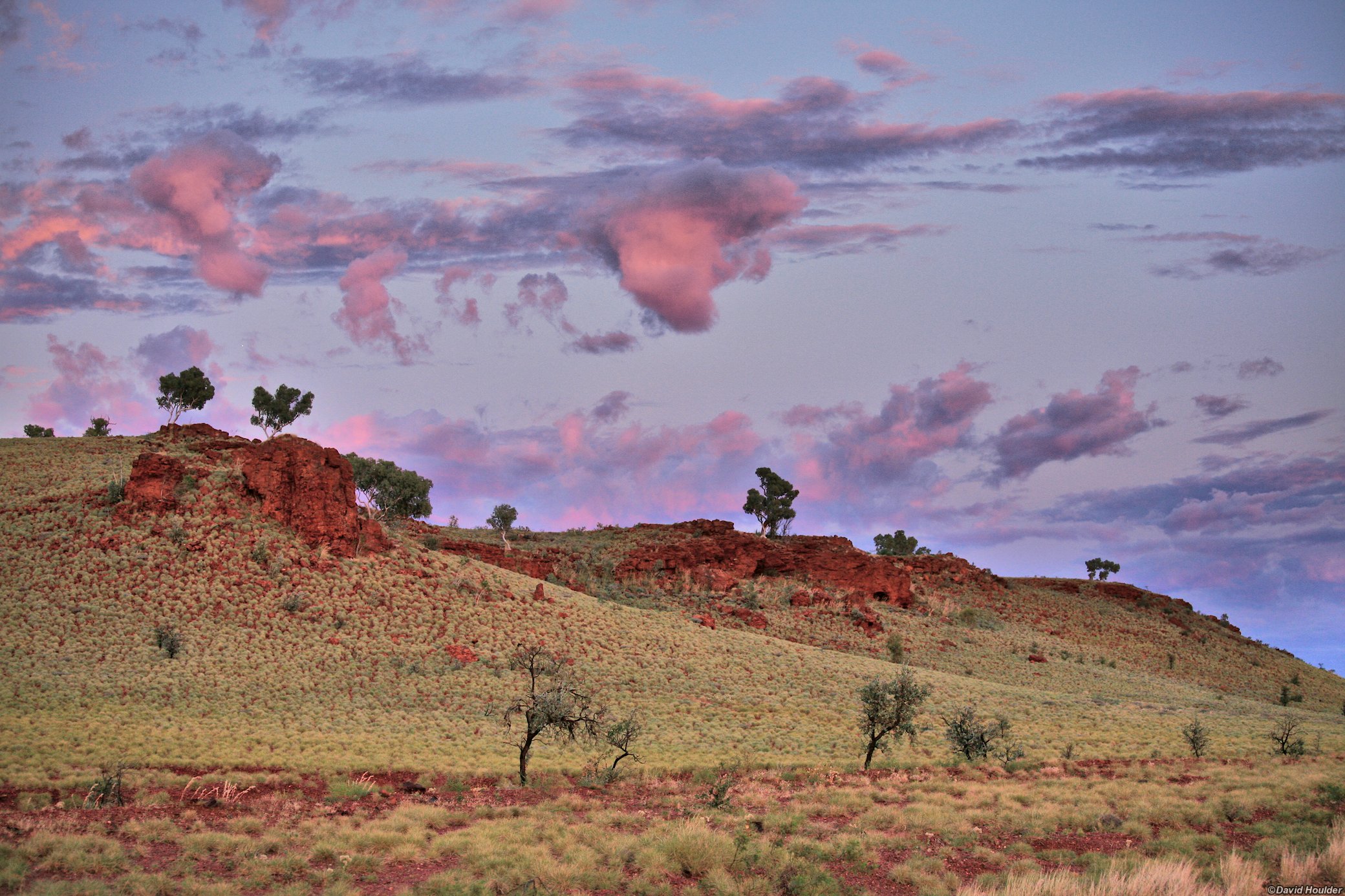
Early morning on the drive from Roebourne to the Munjina roadhouse.

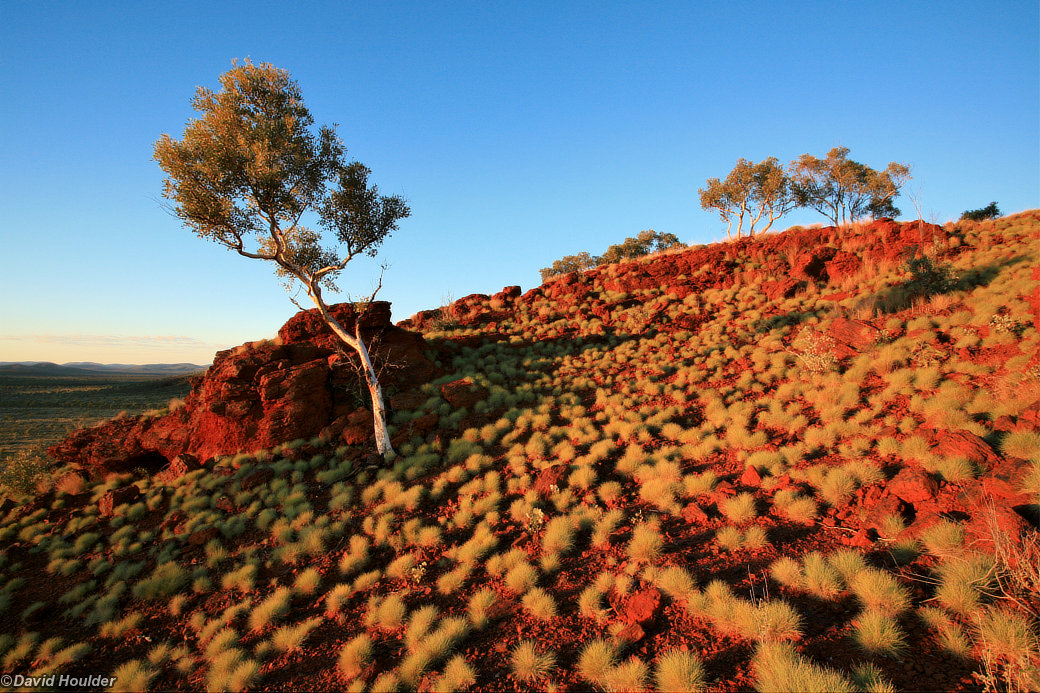
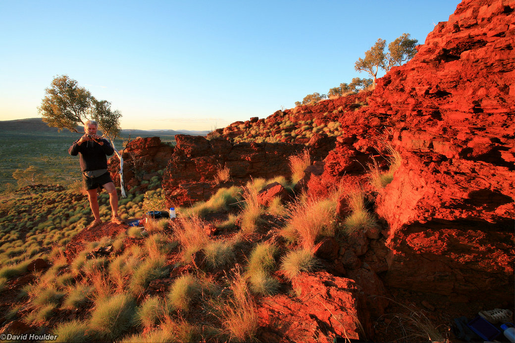
We stopped for lunch in an overhang at the top of this slope.


This was a bit tricky. We found a little near-vertical tunnel that allowed us to descend to the top of the slope.


As we made our way upstream, the gorge changed from a wide valley into... well, a gorge. Not far beyond this point we ran out of bank, which meant we were in for an impromptu swim. We had always assumed that some parts of the walk would involve floating our packs and swimming with them, but I don't think anyone expected it to happen right here. The trick with floating your pack is to line it inside with a large drybag or 2 tough plastic bags, and pack your gear inside that. Float the pack with the harness side up. Even a heavy pack will float with more than half of it above the waterline.

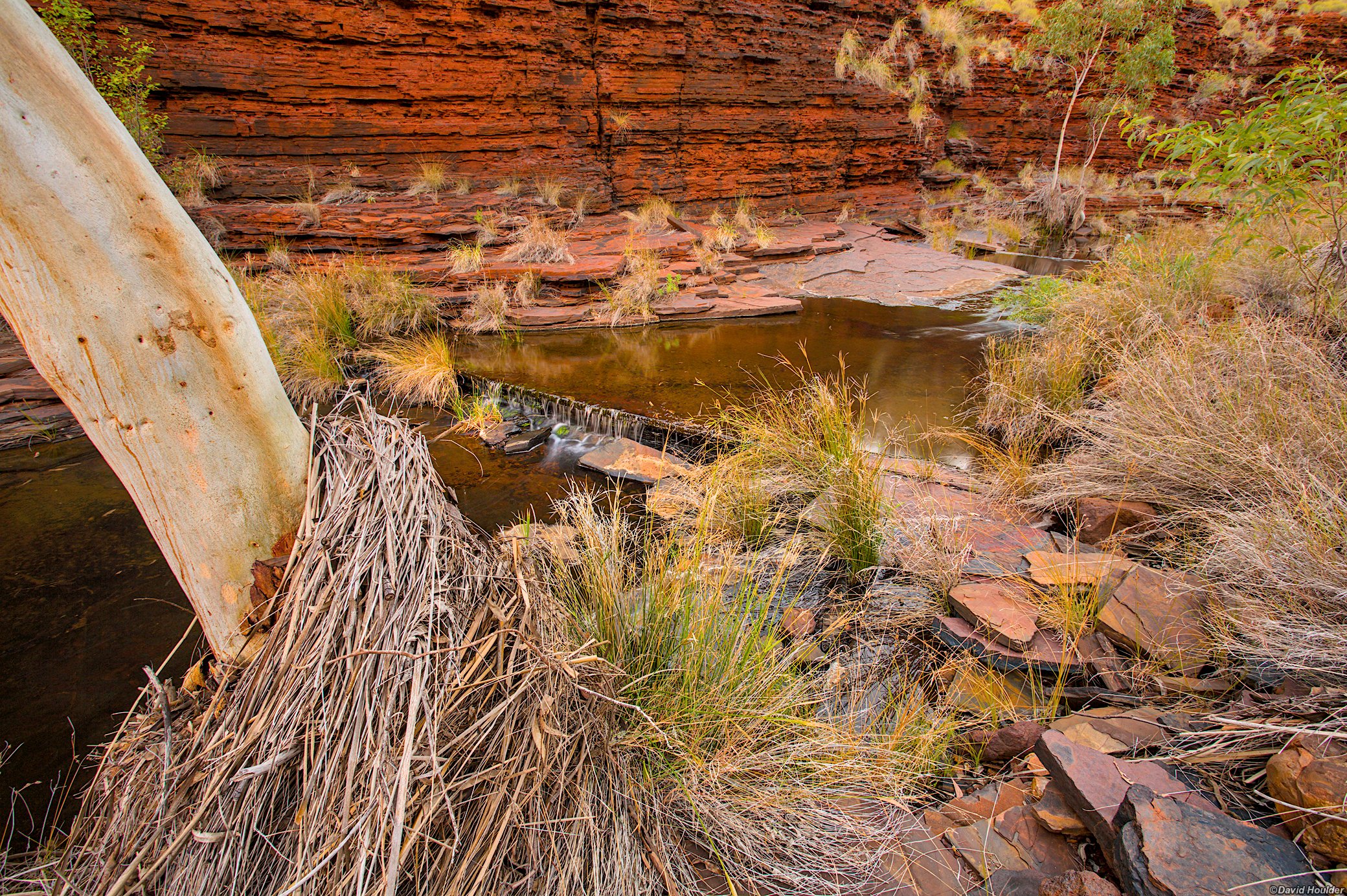
Further upstream and we're back to easy walking.

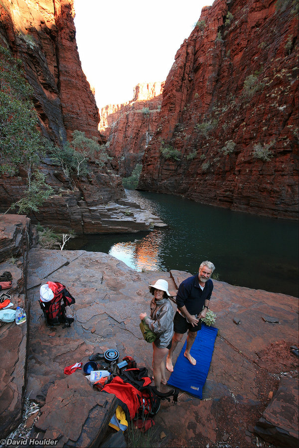
The second night was a dry campsite, so we had to lug a lot of water up from Dales Gorge.


Four of us slept under this overhang.


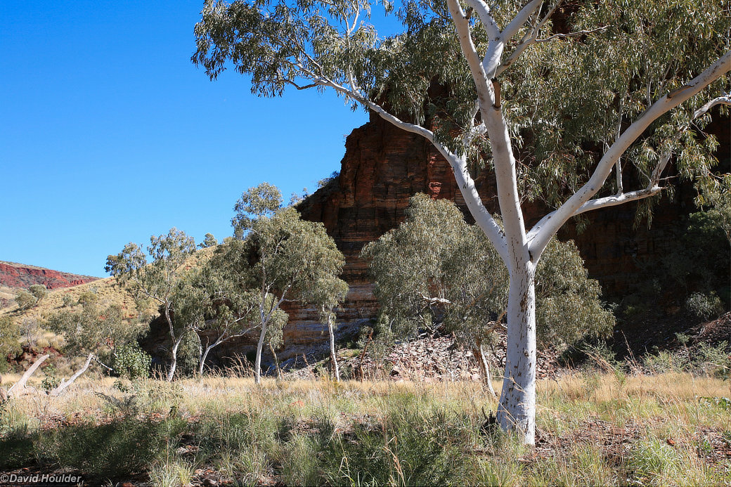
This is at the top of Kalamina Gorge
I've seen worse.
A few metres downstream from the campsite.


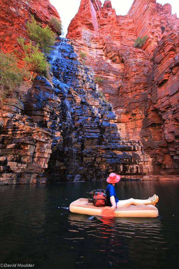
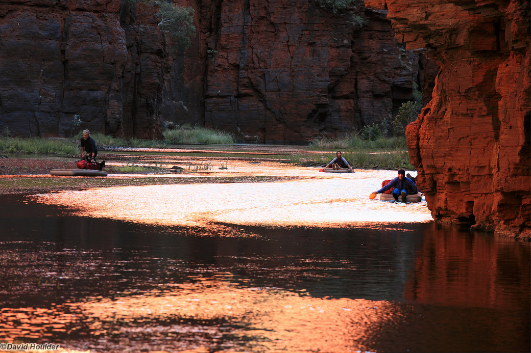
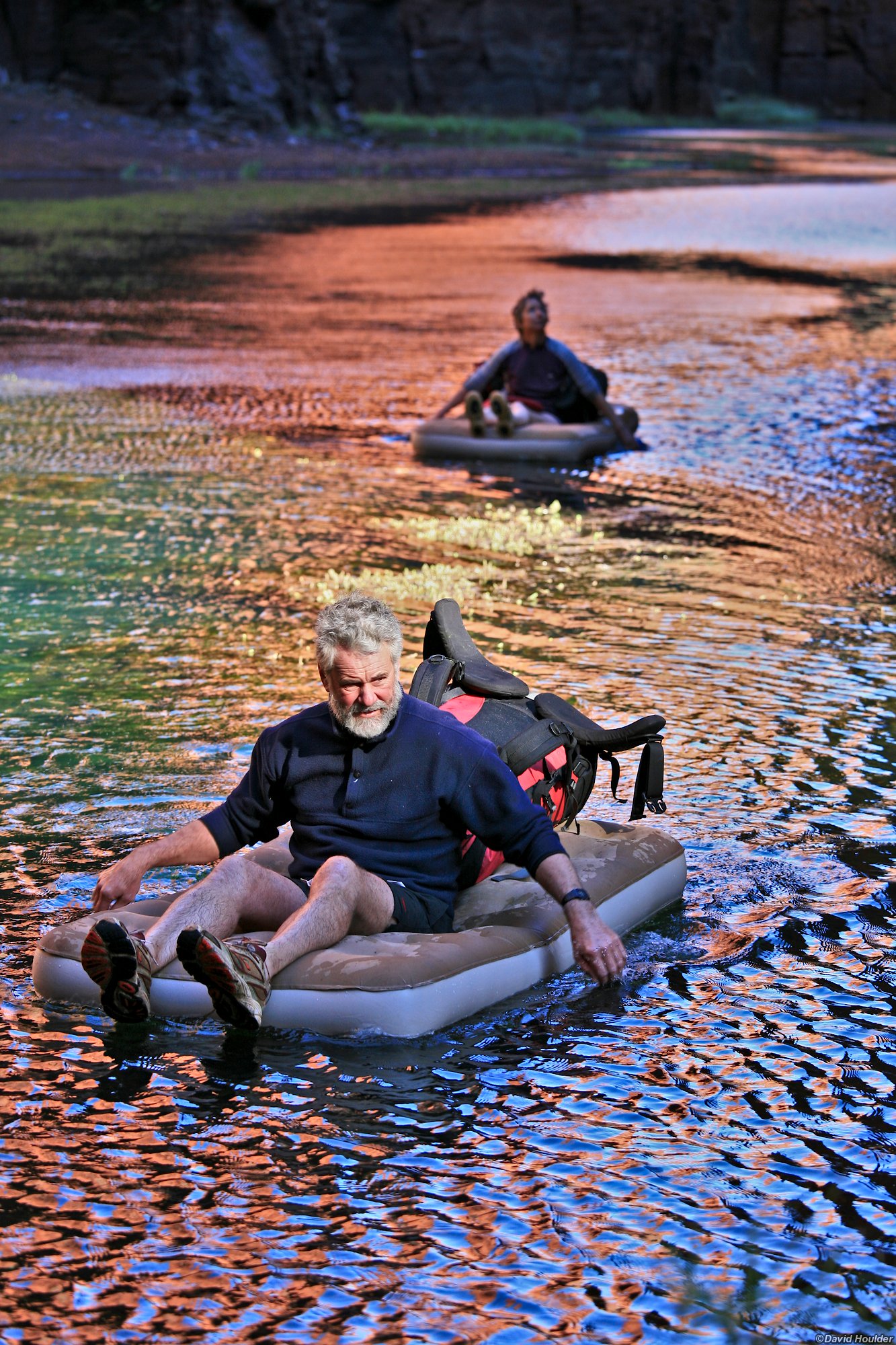
Days five and six were mostly spent paddling these lilos down Joffre Gorge, Red Gorge and Wittenoom Gorge. There are quite a few points in the gorge where you have to pick up the lilo, scramble over rocks with it and your pack and set sail again downstream. Here we see Dave taking in the scenery in Joffre Gorge.


Dave and Ian explore the lowest section of Hancock Gorge, just up from its junction with Red Gorge.
There aren't many safe campsites in the gorge, but this one looked pretty good.
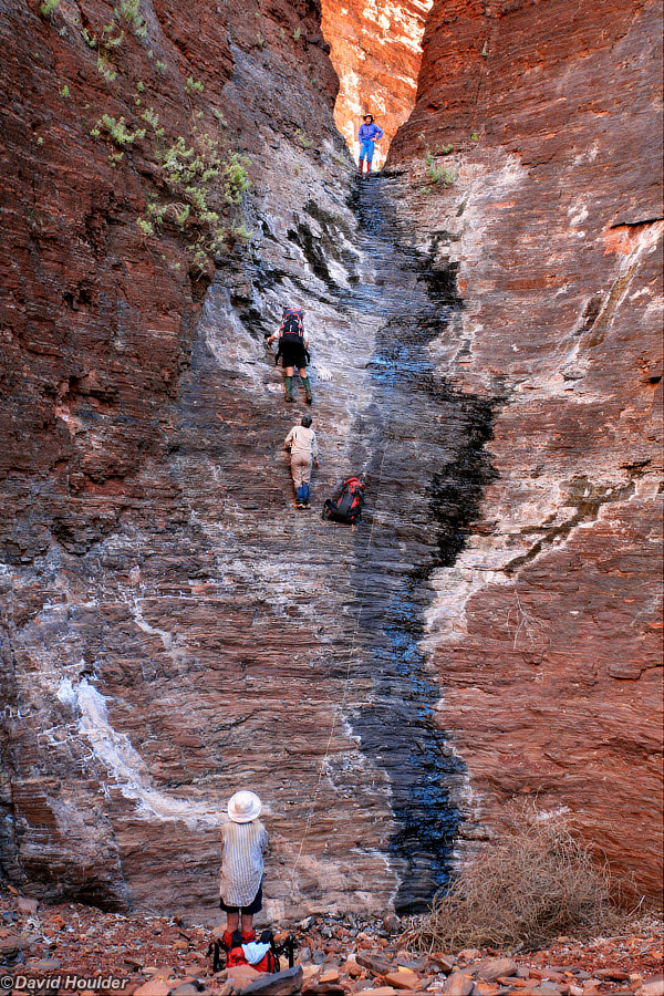
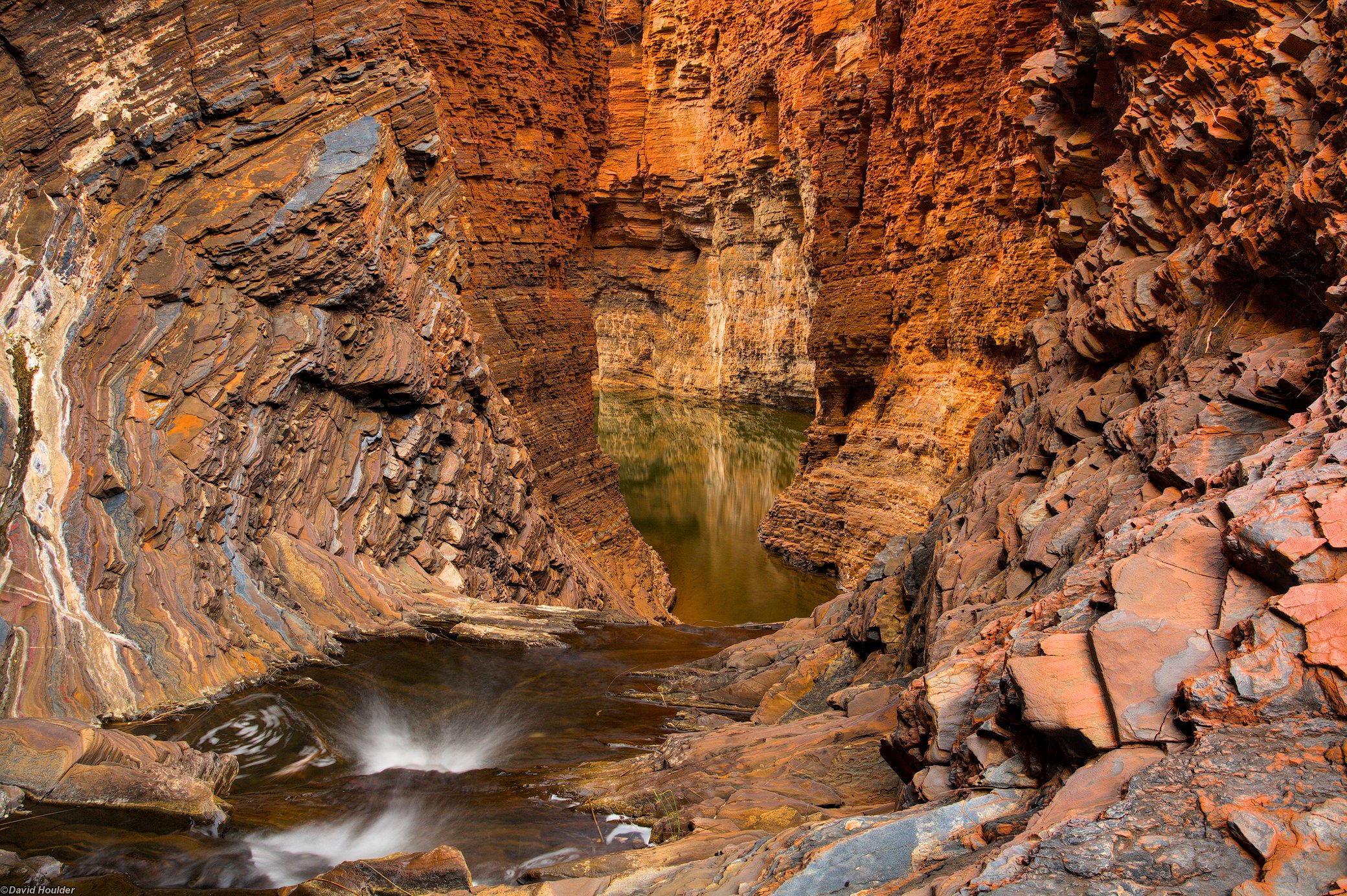
Ascending Snell Gorge.


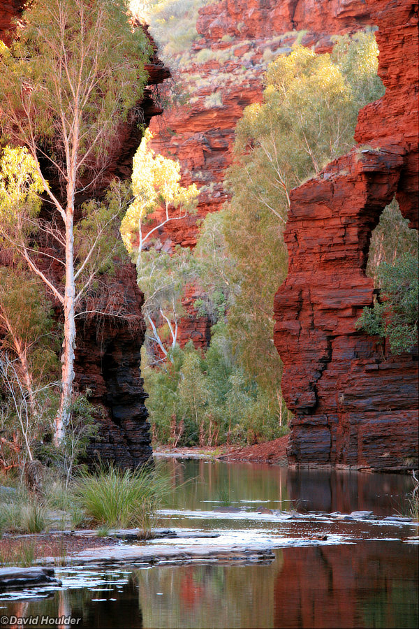
This is where we were paddling just a day or two before.


At the Bee Gorge campsite.


... which is usually a reasonable plan. Not here though. There's not much traffic on this road. We waited here for so long that we saw this grader rumble out of the distance, pass by us, disappear in the other direction, then reappear as it came back to do the other side of the road later that afternoon. After a bit more waiting around we all started walking off towards Wittenoom and Ian and Judy eventually got a lift.

Sundown, and our drivers reappear with the cars.