Jatbula Trail
The Jatbula Trail is a 60km, five or six day arc through Nitmiluk National Park, situated just north-east of Katherine in the Northern Territory. Note that the trail plotted on the map above is only an approximation - the actual track may differ from this plot and may change over time. I did the walk in June 2015, and the notes below describe the conditions and arrangements in place at that time.
The walk is pretty popular and you have to book a place on the trail. See the official website for details. June and July are the best months to go, and slots for these months may be booked out six months in advance, so get in early.
It's pretty easy as bushwalks go, both navigationally and physically - I think it's the least hilly walk I've ever done in Australia. There's plenty of scope for swimming at each campsite, and you typically arrive at each campsite by early afternoon. The trail starts just across the river from the Nitmiluk visitors' centre. You'll need to book the 5-minute "Northern Rockhole" ferry ride to get to the start. From the river bank the track heads north, then curves around to the west to finish at Leliyn (Edith Falls), where there's a good commercial campground.
The booking conditions limit you to a maximum stay of one night per campsite. Since you usually have lots of time in the afternoon to explore each site and swim, I found that to be entirely reasonable. It also means that you'll usually be camping with the same group of walkers each night, which adds a nice social dimension to the walk.
There's no scope for food drops on this trip, but a number of factors mean that you won't need any. For starters, you'll probably have less gear in your pack than for most walks. If you go in winter you can probably leave your rain gear behind - although there was a light shower one morning when I did the walk in early June. You also won't need much in the way of clothing, and if you rinse the clothes you're wearing when you get to a campsite, they'll probably be dry by the next morning. You'll only need a light sleeping bag too. Finally, I found that I ate less food than I expected, probably because it was so warm. My guess is that 900g of dry-weight food per person per day would be heaps.
The only fly in the ointment with this walk is coordinating transport to get you to the start and pick you up from the end. At the time of writing, Gecko Canoeing runs shuttle buses between Katherine, the Nitmiluk Visitors Centre and Leliyn, but the price per passenger increases if there are fewer than four passengers per trip. There are no commercial flights into Katherine, so you'll need to get there by bus or car - I used the bus from Darwin. I ended up getting a taxi to the start of the walk (about 30 minutes from Katherine as I recall), but thankfully there was a quorum for the shuttle bus on the return leg from Leliyn which takes about an hour.
See the official website for more information and booking details.
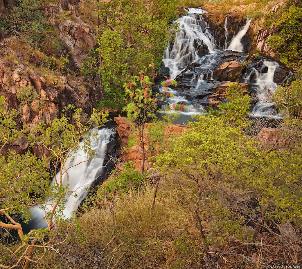
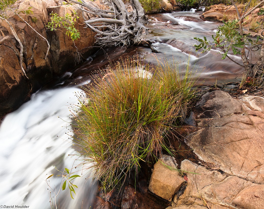
Day one consists of a fairly easy 8km walk to the campsite at the top of Biddlecombe Cascades. From here it's a few minutes' walk to a great spa pool halfway down the cascades.
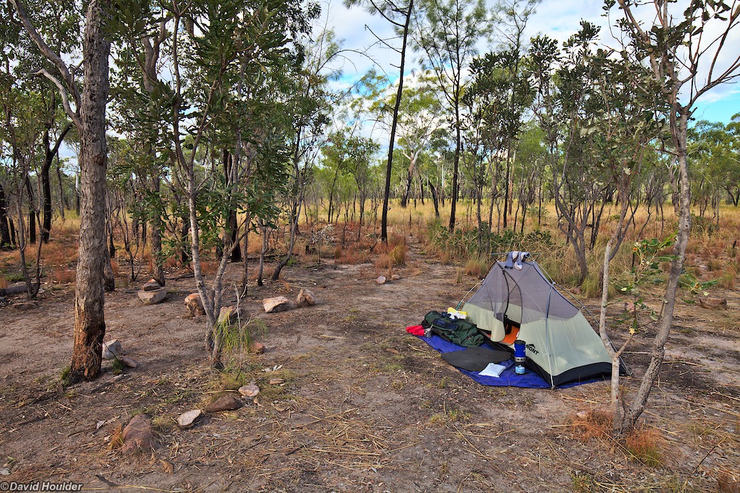
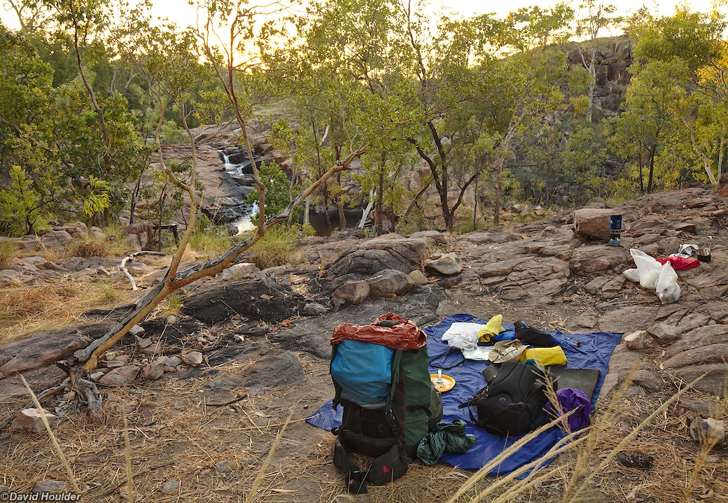
Although I carried the outer tent fly, I never used it during the walk. There was a shower on the morning of day two however, so it's probably worth carrying one just in case. I usually pitch my tent on the lightweight blue groundsheet you can see here. It provides a little more protection for the tent floor, and also makes it harder to lose things around the campsite.


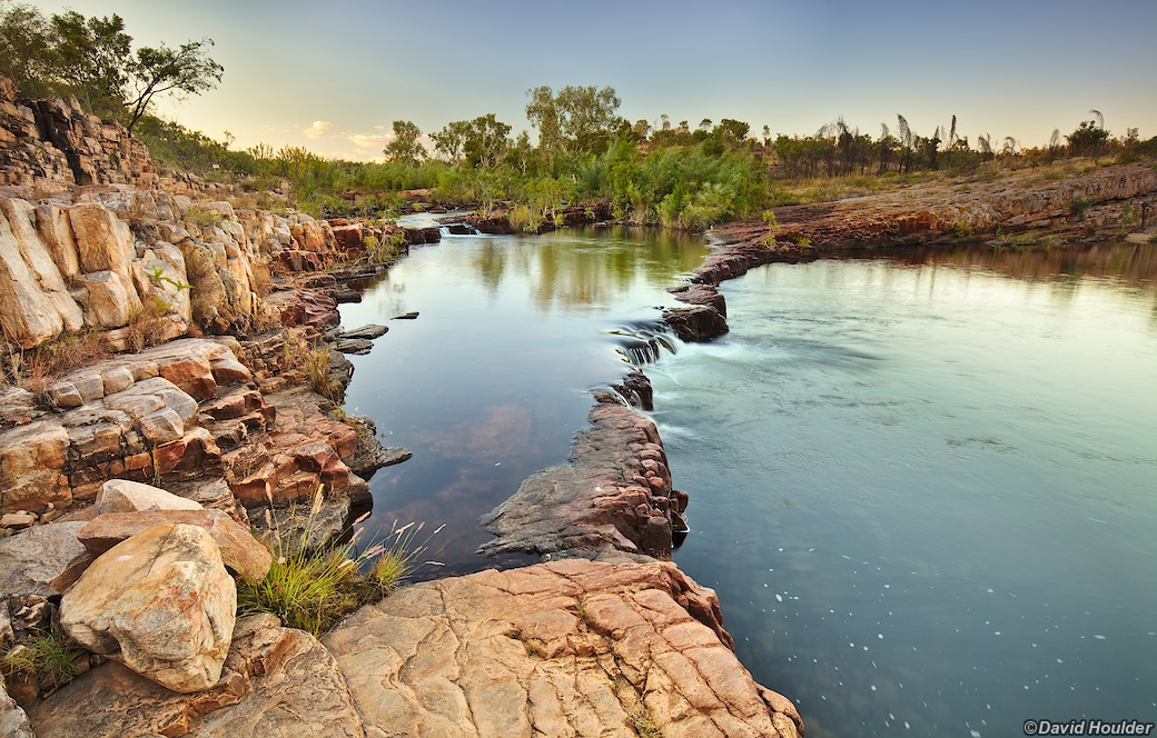
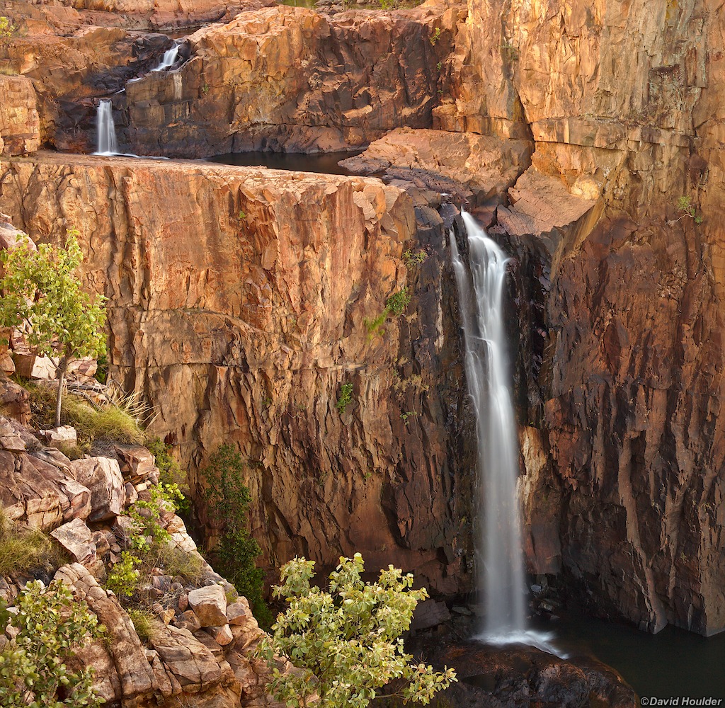
After making camp on day two, you can cross the river and head downstream for about a kilometre to see some great views of the falls.

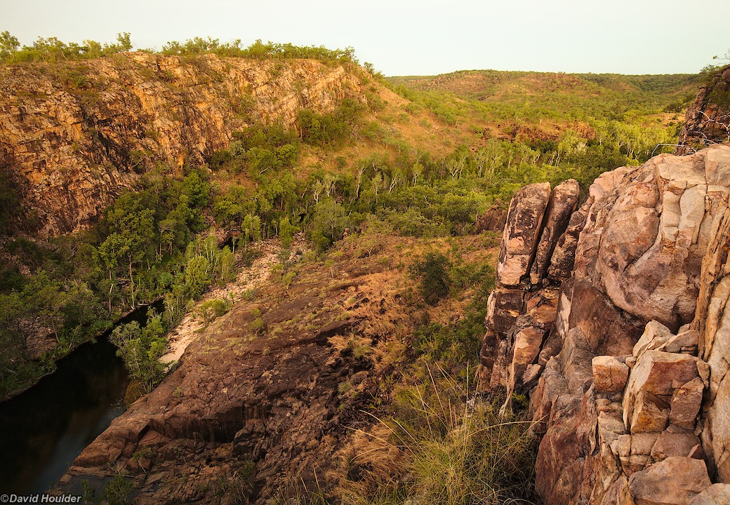
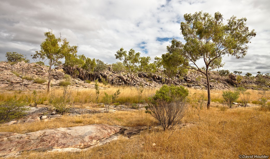
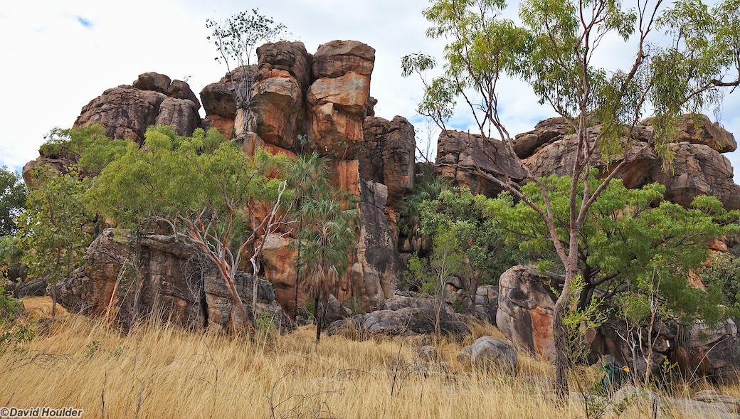
Well by now we're all getting a bit sick of all those tedious waterfalls and rockpools, and it's about time for the countryside to start showing a bit of imagination.
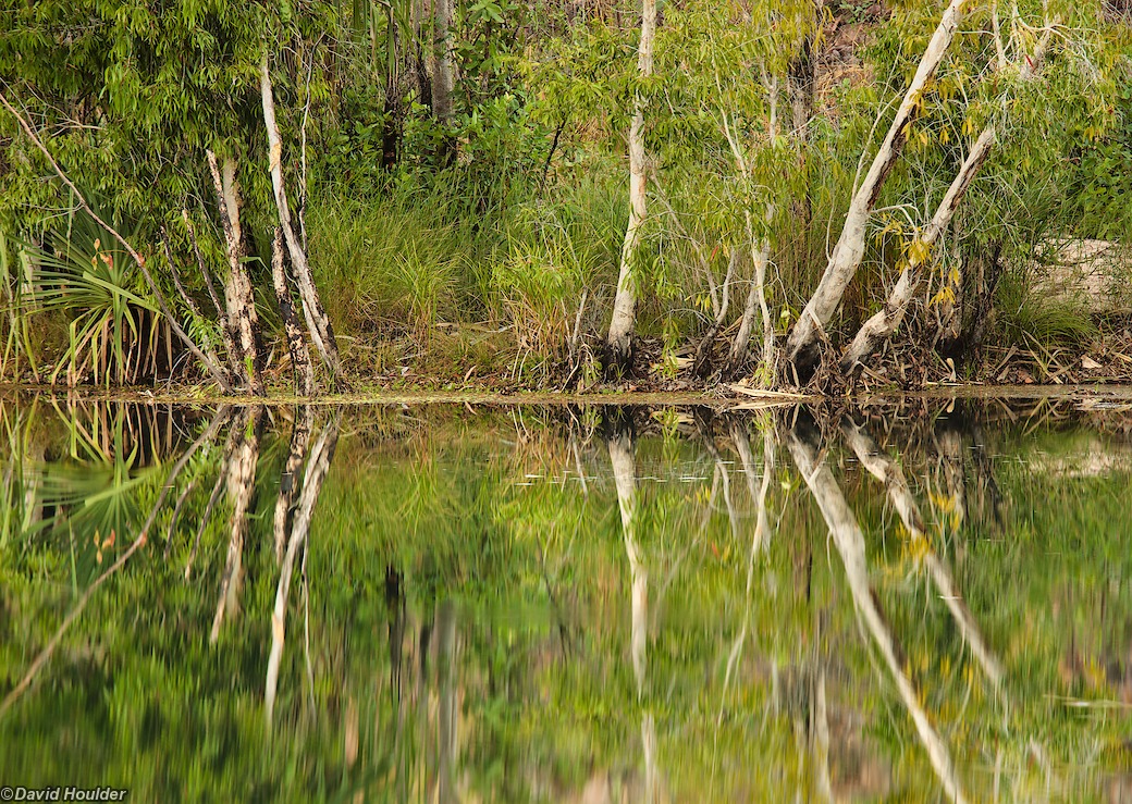
Day four offers up Sandy Camp, which is a spacious, pleasant and (yes) sandy campsite beside a large pool, fringed with paperbarks and water lilies. This is the view from my tent.

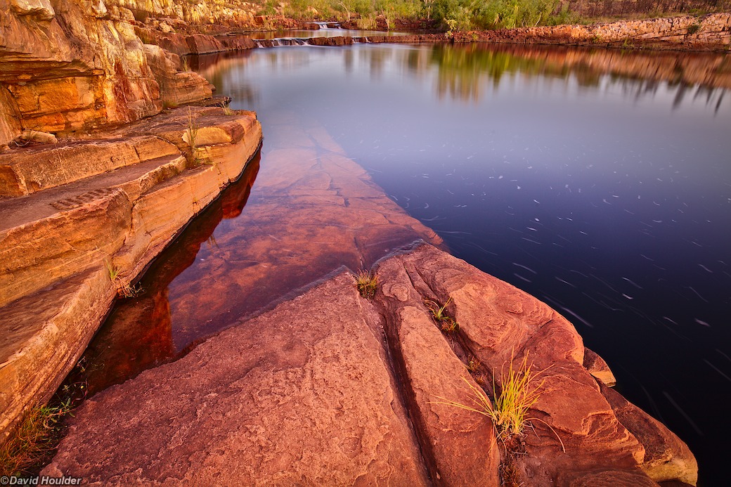
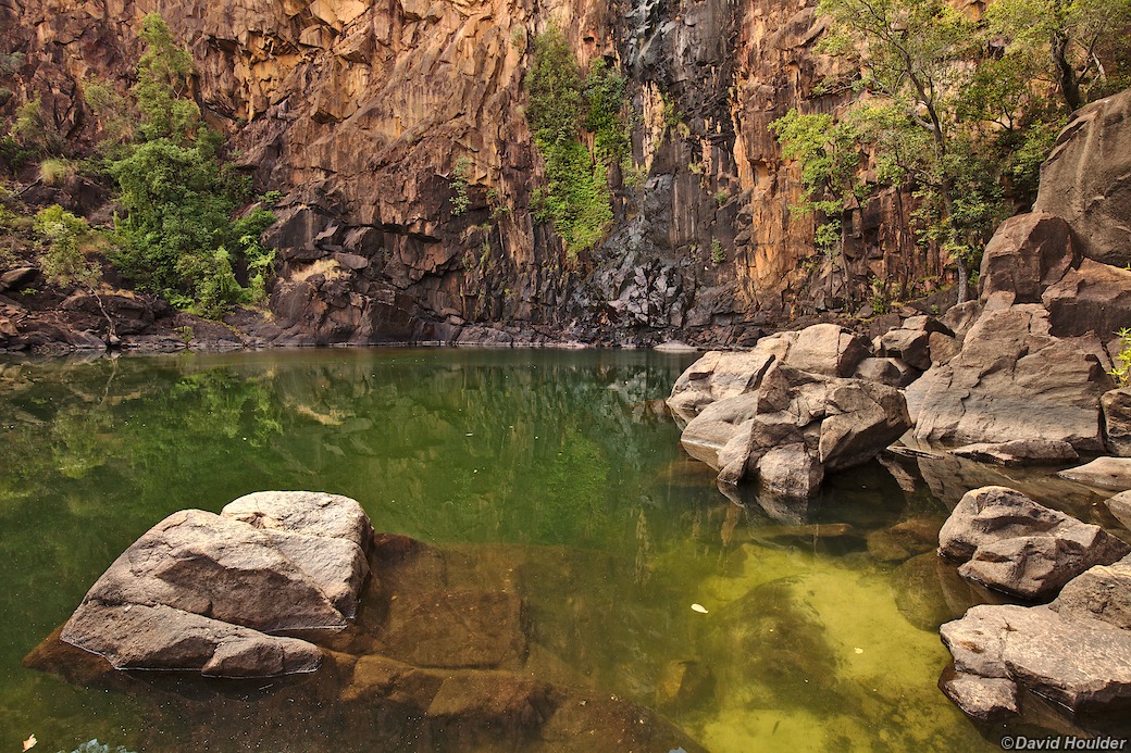
On day five you can walk right through to Leliyn (Edith Falls) if you like, but I decided to camp at Sweetwater Pool. This makes the final leg on day six just a few hours long. It also means you get to see (and swim in) the pool at dusk and dawn.