Published: Nov 2009

Nerriga to Yadboro

View Nerriga to Yadboro in a new window. 
Note: indicated routes are approximate. Use official topographic maps for navigation.

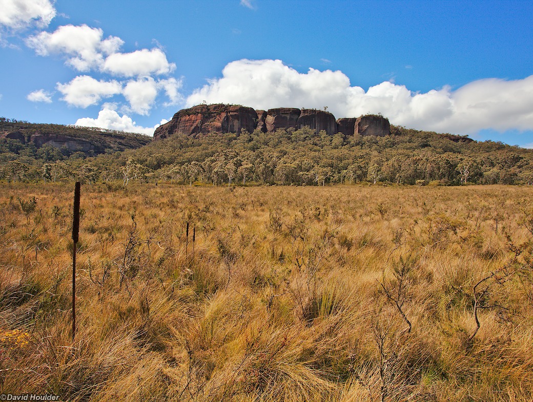
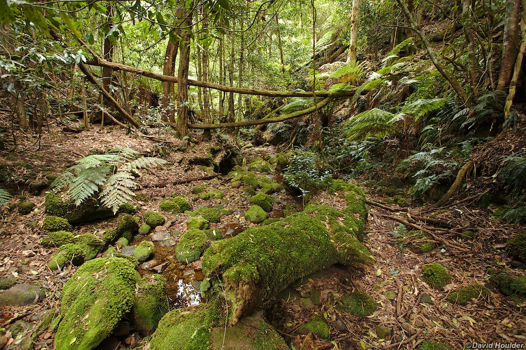
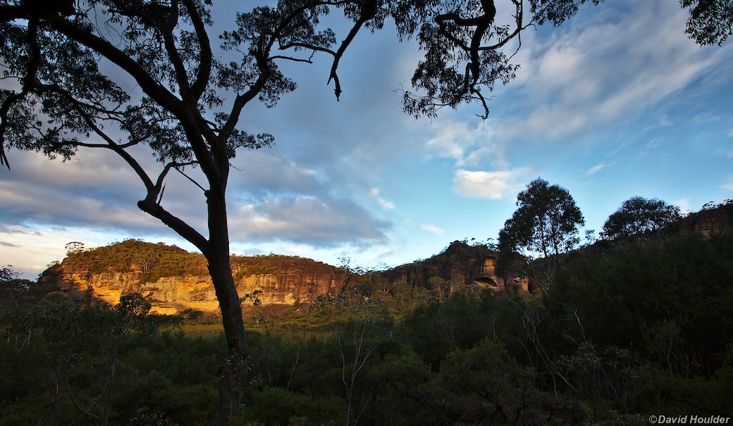
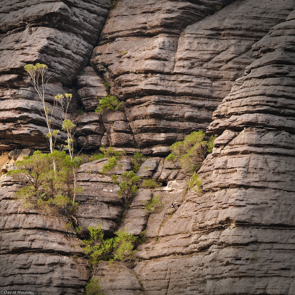
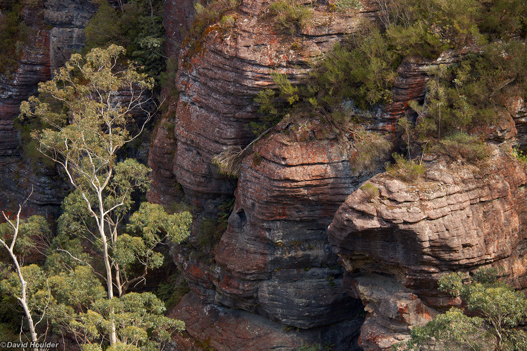
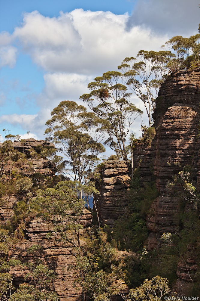
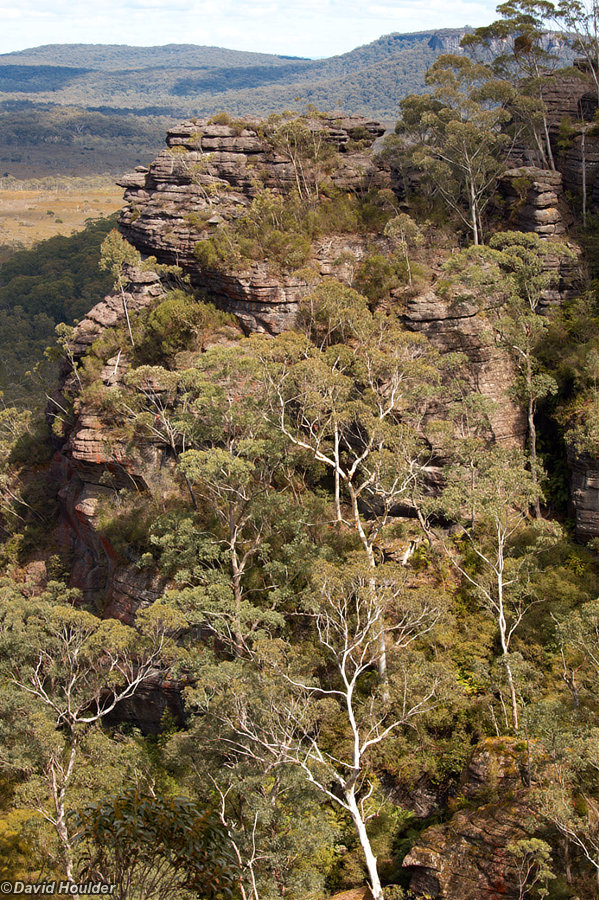
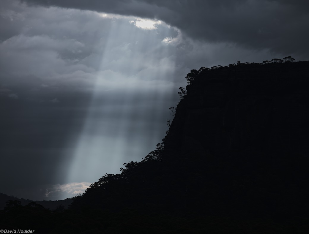
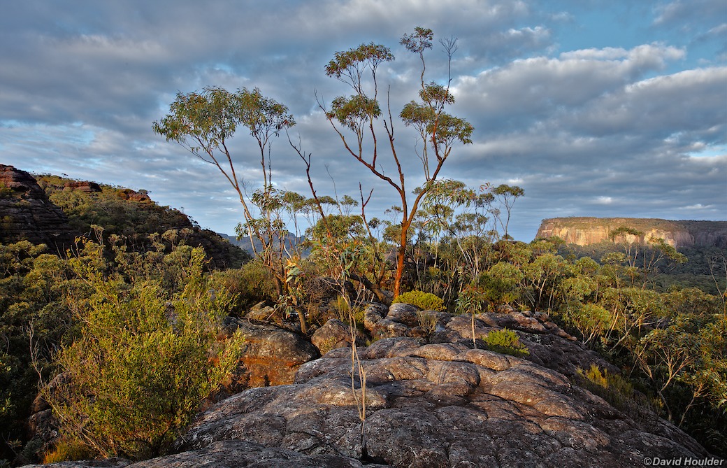
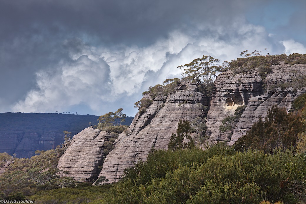
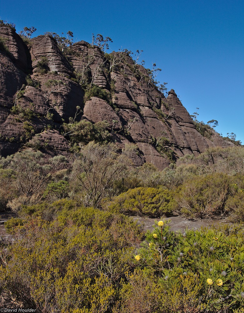
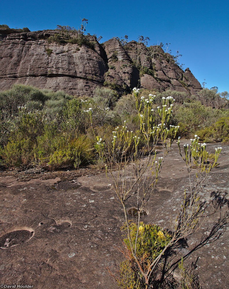
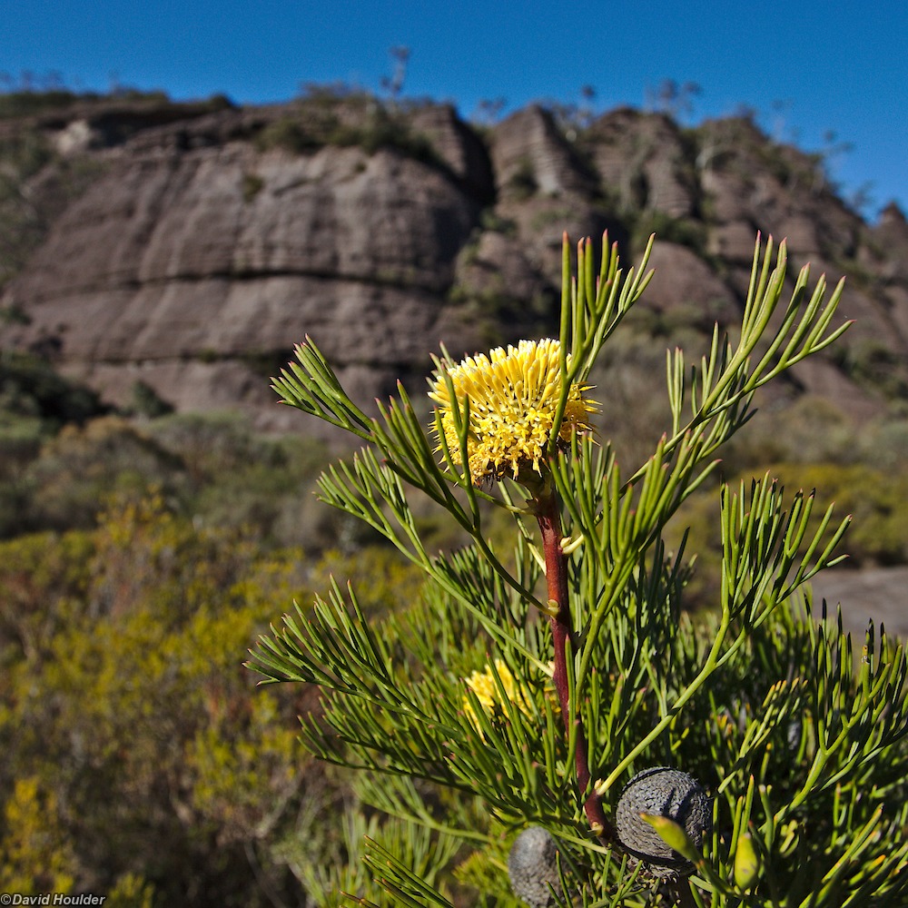
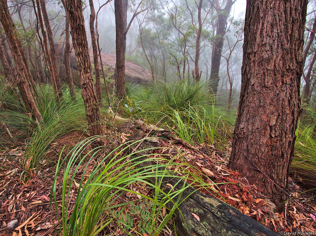
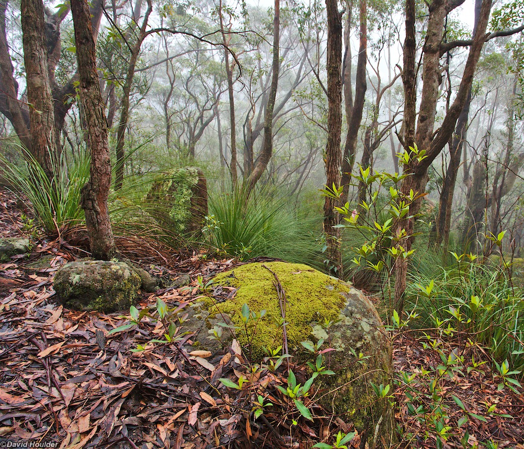
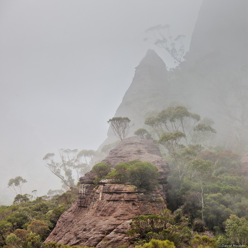
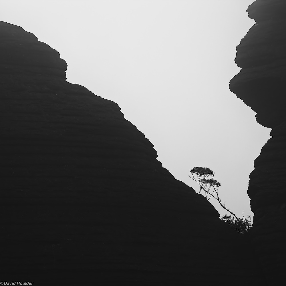
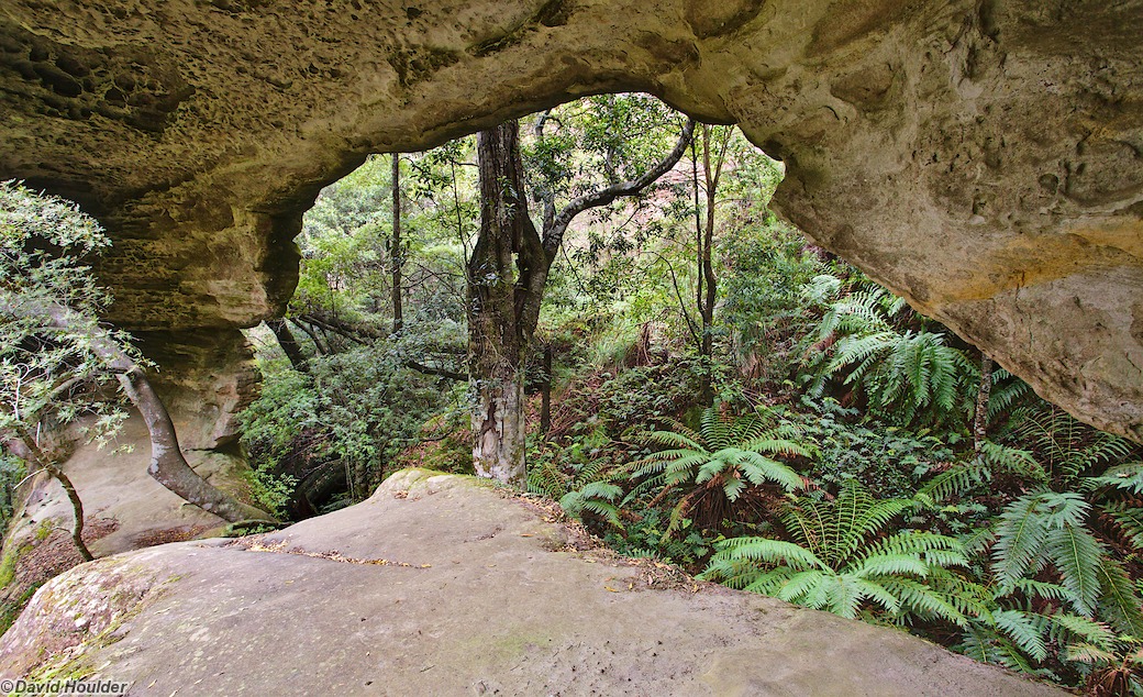
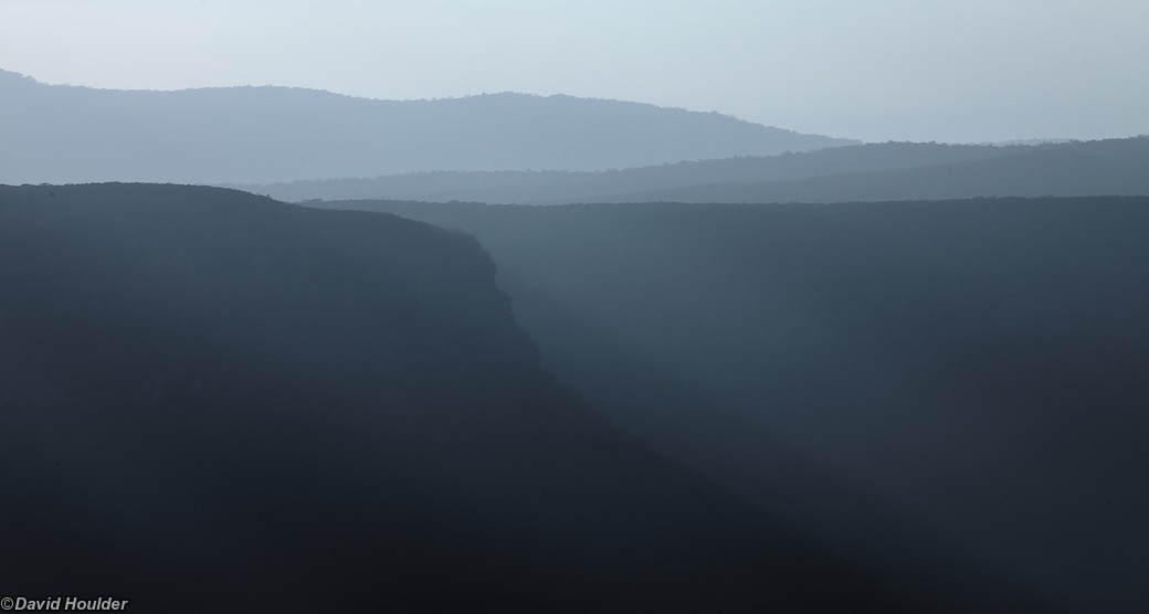
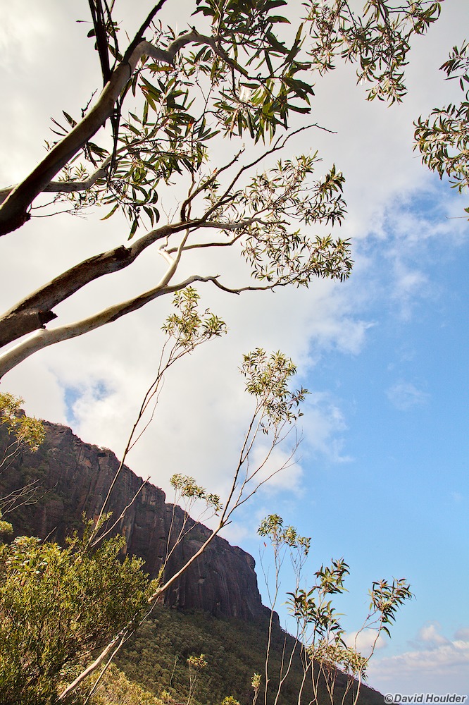
This is a walk from the somewhat informal Nerriga entrance of Morton National Park to Yadboro Flat, taking in many of the best bits of the Budawangs: Hidden Valley, the cliff-faces of Mount Haughton, Mount Tarn, Mount Cole, Monolith Valley and (for the energetic and those blessed with better weather) The Castle.

A few things to note:

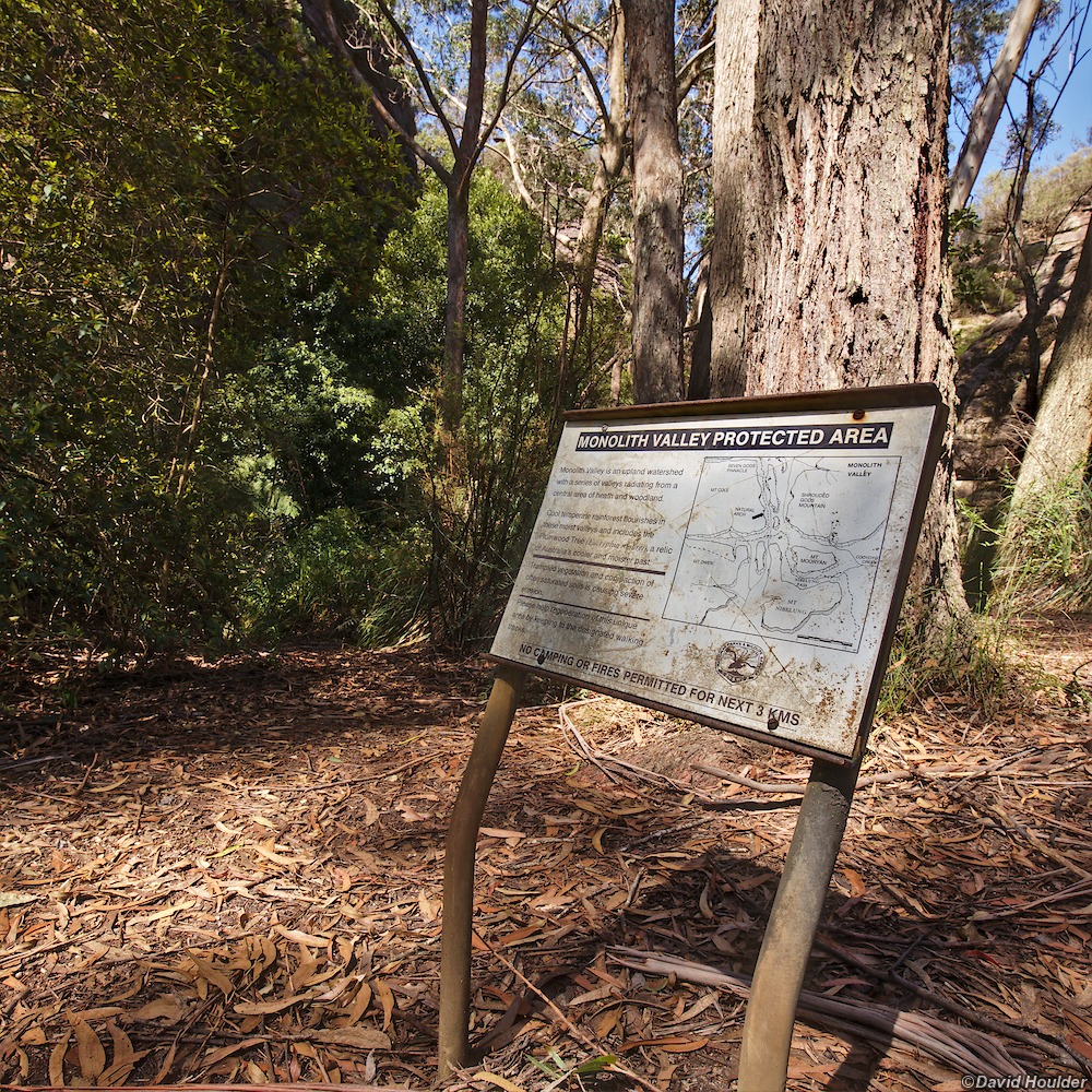
  • Camping is restricted along this route. See the official requirements and guidelines here. In particular, camping is not permitted in Monolith Valley and Hidden valley.
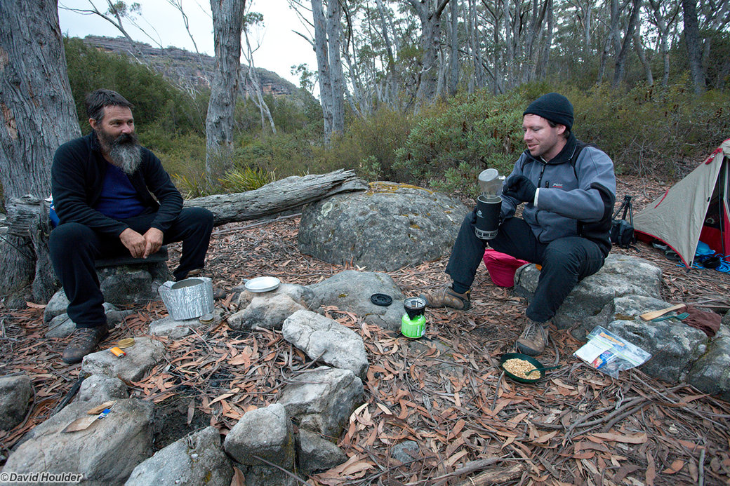
  • There's an excellent campsite a few hundred metres after crossing The Endrick River at roughly ENDRICK 454040 - it's flat and grassy. We, of course, camped a few hundred metres short of that, on the verges of the 4WD track and didn't discover the fantastic campsite until the next morning.
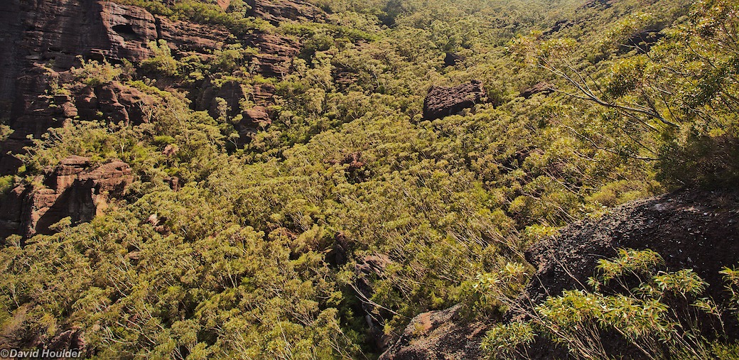
  • The Corang map (8927-3N) and this OpenStreetMap page show a track running around the northern side of Mount Cole and into Monolith Valley. We completely failed to find the way through from the Mt Cole camping caves and ended up bush-bashing around the base of DonJon Mountain and investigating every potential gully, until climbing up beside a creek on the eastern side on a compass bearing perpendicular to the marked track. We were clearly not the first people to do this, as we kept finding knots tied in the Xanthorrhoea fronds along the track, but it's definitely not advisable. If you zoom in on the map above you'll see the wrong way shaded red, and the supposed correct way in yellow.

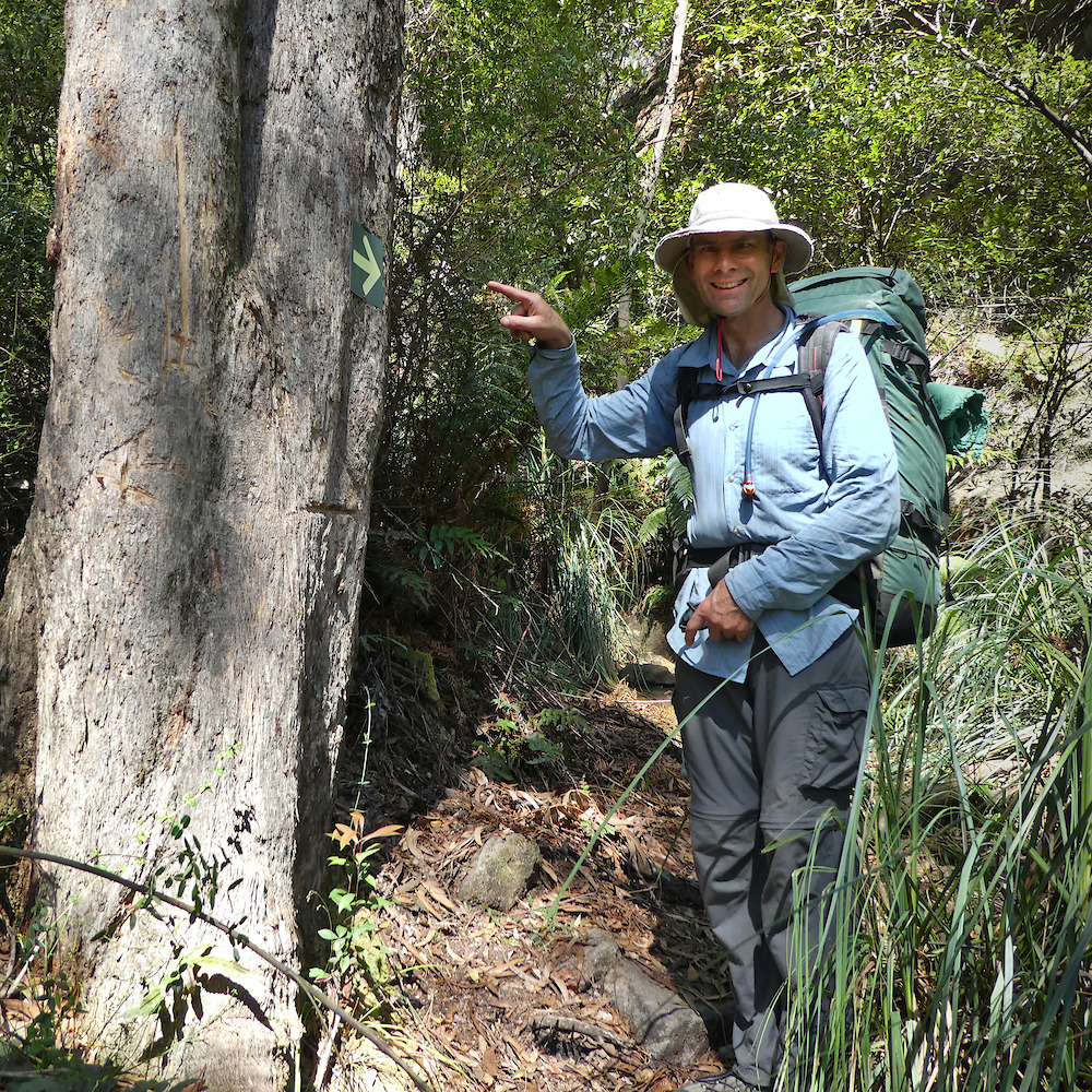
    In 2017 I found the elusive turnoff which is (now) marked with a conspicuous arrow.

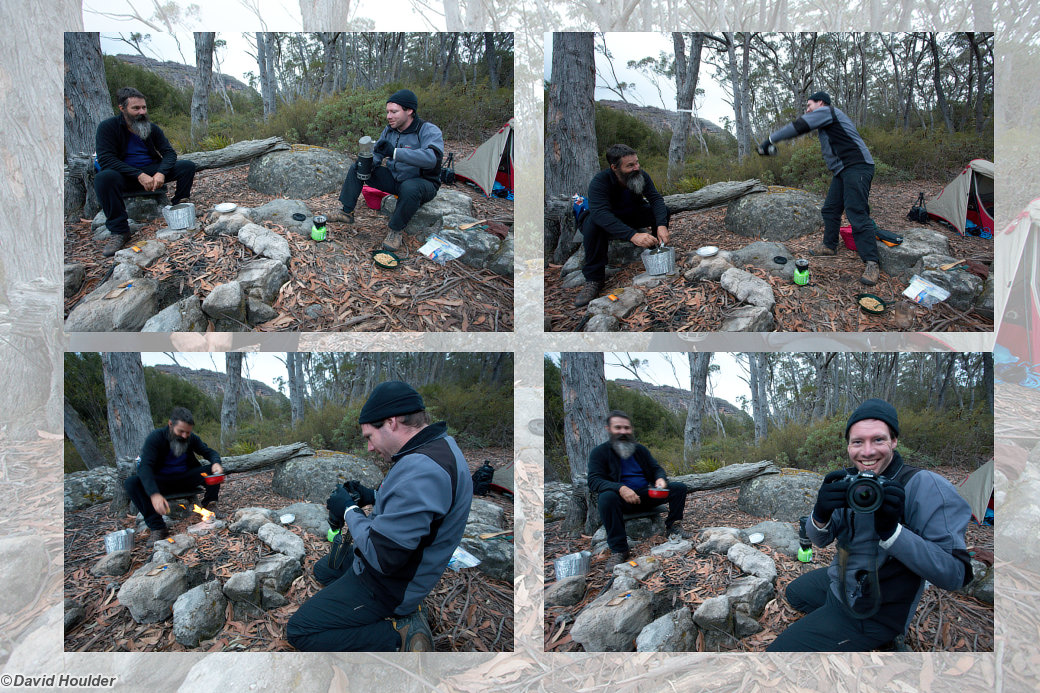
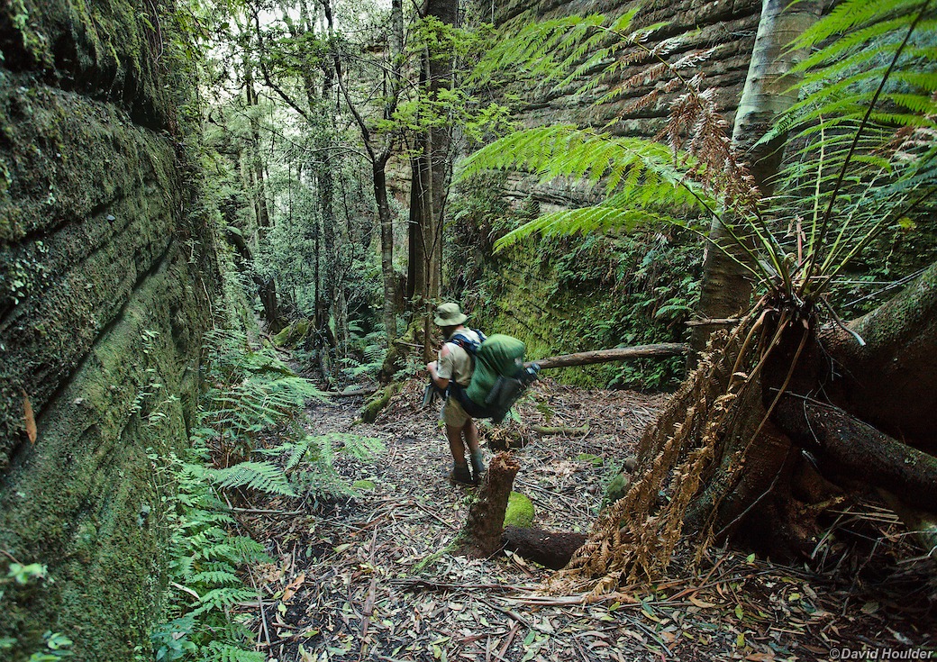
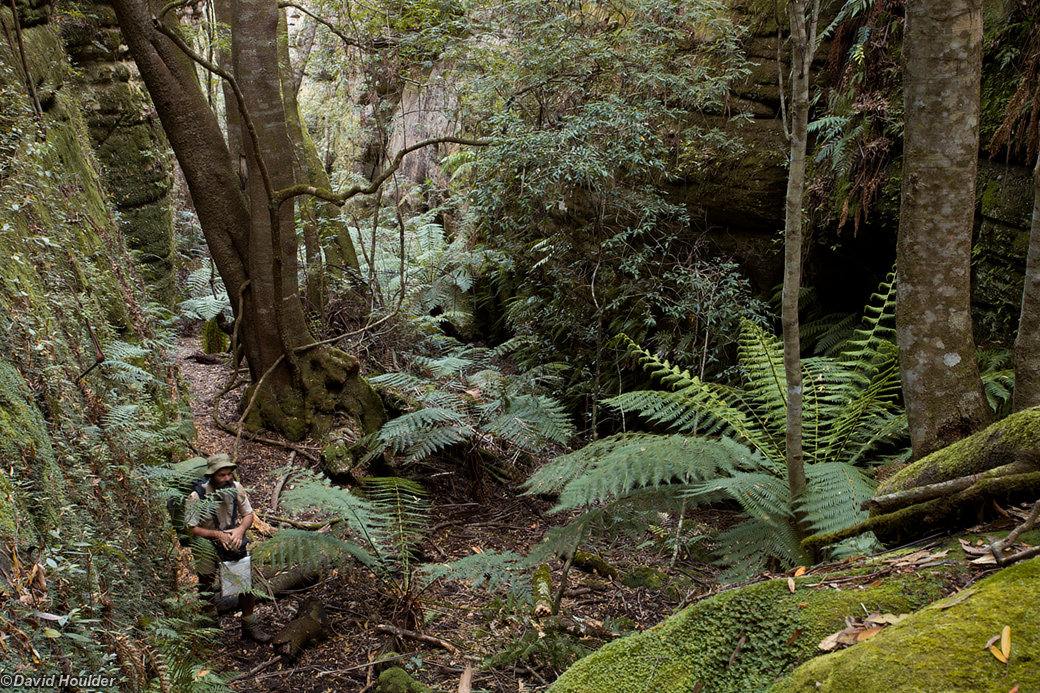
The place-markers on the map above show the route travelled at a pretty relaxed (and in some cases, lethargic) pace. The party in this case consisted of Rob Gray, Glen Turvey and myself, and the slow pace allowed plenty of time for photography. See Rob's and Glen's sites for other perspectives on the walk. We spent about four days poking around Cooyoyo Creek, Monolith Valley and The Castle saddle.

Note: The map above is just a rough guide. The marked locations and route may be highly inaccurate. If you want to do this walk, get hold of the proper topographic maps and use them to plan your walk in conjunction with a reputable guide book.

Scribbly gum

These trails in the bark of this tree are made by the Scribbly Gum Moth larvae, Ogmograptis scribula.

Quilty's clearing
Some classic Budawangs terrain a few kilometres from the start of the walk on Red Ground Track
The Vines

A view of the creek at a convenient rest spot on the way to Hidden Valley.

Sun setting on the walls of Hidden Valley
The last rays of the sun on the north-west flank of Mt Sturgiss
Hidden Valley cliff face

A view of the south-west wall of Hidden Valley from part of the way up Mount Sturgiss.

These rounded and eroded rock formations are sometimes referred to as pagodas due to their resemblance to the tiered towers found in parts of Asia. The best examples in The Budawangs are probably on Mt Sturgiss.
Quiltys Mountain

A view from the west rim of Hidden valley in the afternoon.

The campsite

Rob (left) and Glen (right) relaxing at the end of the day.

Hanging around the campsite
This image also appears in People
First light on Quilty's Mountain
On Mount Tarn

In the middle of Mount Tarn there's a rock outcrop the size and shape of a surfacing submarine. From that outcrop you can see over the Banksia scrub.

Wildflowers

Beside the track from Mount Tarn.

Donjon Mountain from Mount Tarn track

That lumpy thing in the middle of the horizon is Donjon, which we inadvertently ended up skirting the next day.

Probably not the way

Here's Glen returning from our reconnoiter up one of the gullies between Mount Cole and Donjon. Maybe this was the right way after all, but it sure didn't look appealing at the time.

In 2017 I did a walk in the opposite direction, starting at Cooyoyo Creek and walking back through Monolith Valley to the headwaters of the Corang River. The track from the base of Mt Cole into Monolith Valley is marked with a conspicuous arrow - or at least it is now.
The sign looks pretty new, so I'm going to assert that it wasn't there in 2009. There are some substantial markings in the bark of the tree, which look like they've been there much longer, but I guess we missed them in 2009. So, be on the lookout for this tree as you're walking around the base of Mt Cole
And in case you needed more reassurance, a little further towards Monolith Valley there's this comforting sign.
Descending into the Green Room

After finally regaining the Mount Cole Track, we soon descend into a shady grotto in Monolith valley colloquially known as the Green Room.

Rob in the Green Room

Rob standing very still in the Green Room.

Shrouded Gods from Monolith Valley

Apparently you can get up on top of Shrouded Gods if you have a rope and can chimney up between the rock faces.

Isopogon in Monolith Valley

The only reason I know this is an Isopogon is that we met a ranger on the track who called it that.

Castle Saddle in the fog

After traversing Monolith Valley we descended to the excellent campsite at Cooyoyo Creek. The next morning was a little damp and foggy, but that's not unusual here.

Water drop on Xanthorrhoea

At The Castle Saddle

In Monolith Valley
After walking through Monolith Valley in bright sunshine the day before, we returned for a day walk under very different light.
Water drops on Casuarina in Monolith Valley
Leaning Tree

Back in the Green Room in Monolith Valley

Green wall
Natural arch in Monolith Valley
Cooyoyo Creek pool

The foam is due to the tannin in the water, leached from leaf litter.

View from Cooyoyo Creek campsite

A short stroll from the Cooyoyo Creek campsite reveals this fantastic view over Pigeon House (Didthul), Byangee Walls and the Clyde valley.

As with most areas in the Budawangs, the Cooyoyo Creek campsite is a fuel-stove-only area so, as appealing as they are, campfires are not permitted. Do your best to leave no trace.

Regression #1

From Cooyoyo Creek

Regression #2

From Cooyoyo Creek

Saplings on Castle track

On the track down to Yadboro Flat.

Backlit saplings

On the track down to Yadboro Flat.