Nadgee Wilderness Walk
This is a 3 or 4 day, 55km walk along the southern NSW and northern Victorian coast. Please see the official NSW National Parks page for more information. Note that numbers are limited and permits are required for camping.
This walk was done between December 1999 and January 2000, and the track and conditions may have changed since then.
Organising transport to and from this walk is a bit of a hassle, but worth it because it's quite spectacular. If you've got two vehicles you could leave one at Mallacoota and another at Merica River, but unless your party is big enough to split in two, you'll have to do a lot of extra driving before or after the walk. You can get to and from Mallacoota by bus though, and you can probably organise a tour operator in or near Eden to pick you up or drop you off at Merica River.
Either way, you'll need to organise transport across the inlet at Mallacoota. Mallacoota Cruises run a ferry service using the M.V. Loch-Ard, which I think may be the same boat we used back in 1999.
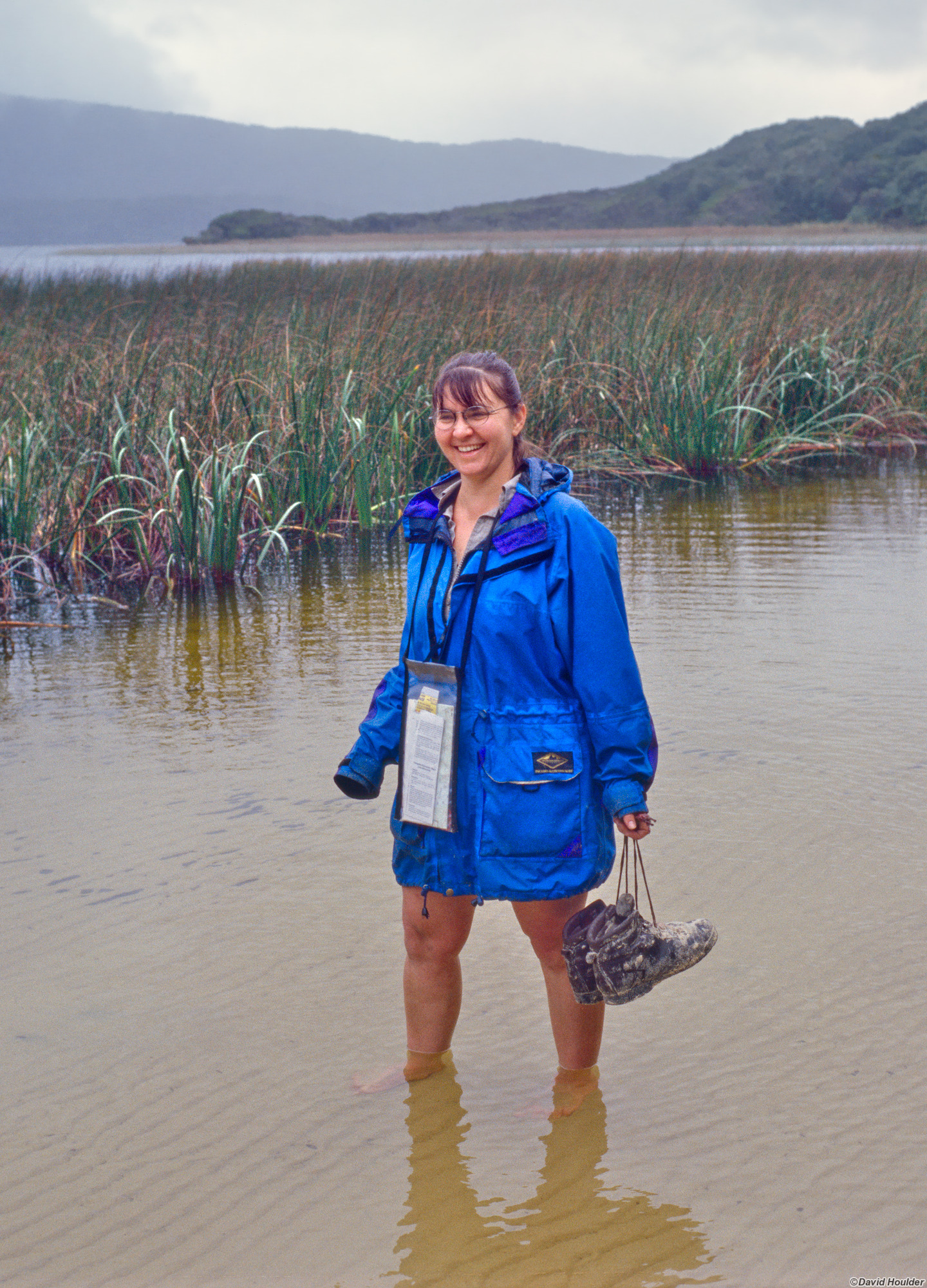
We did this walk by driving to Merica River, leaving the car at the ranger station and getting a lift down to Mallacoota (ask the National Parks people about this when you book your walk permit). From Mallacoota another bloke with an old wooden boat, some lamingtons and a Van Morrison tape took us across the inlet. From there its a couple of hours of walking through the inland dunes and heathland to this spot near the beach.
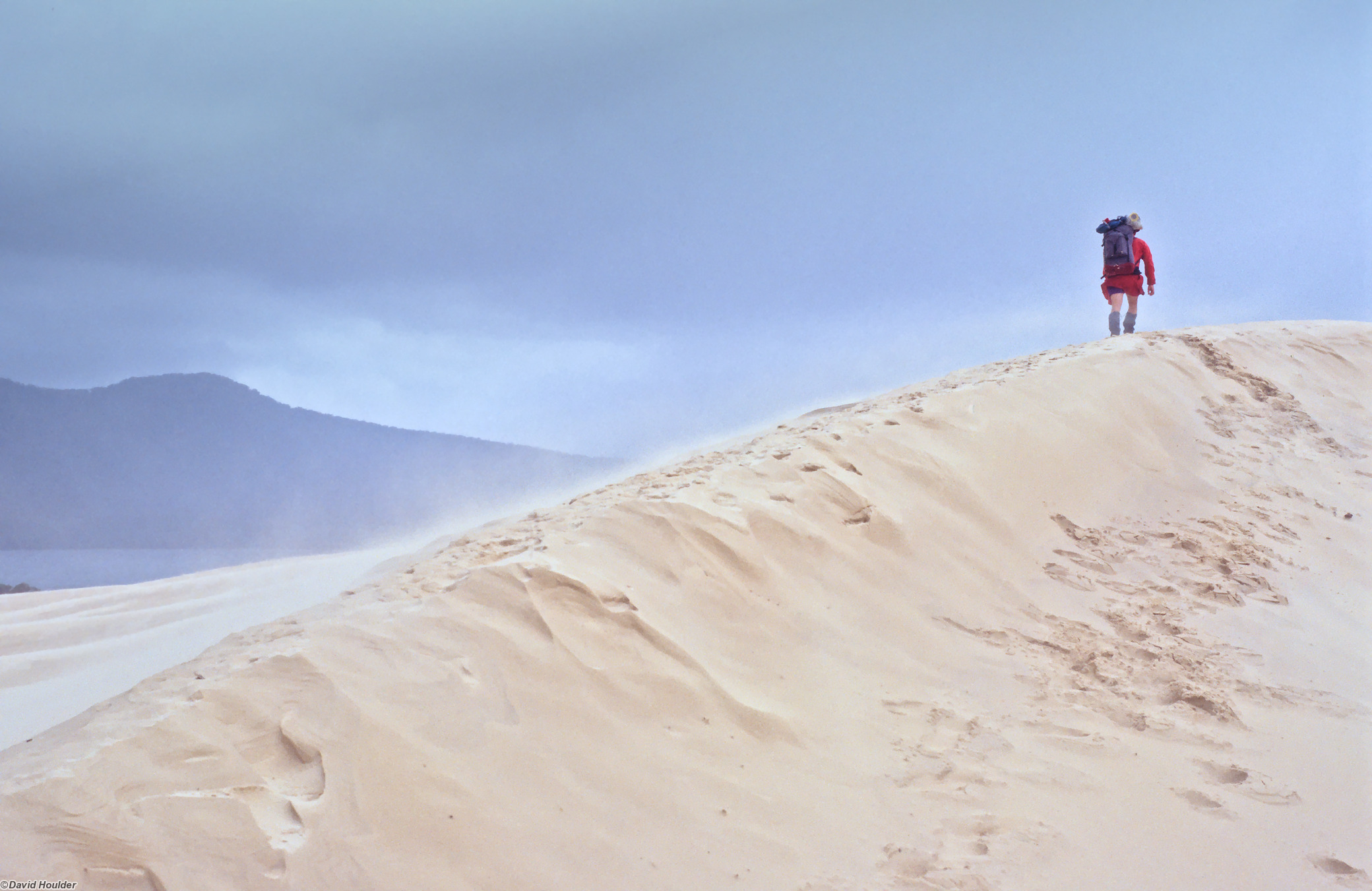
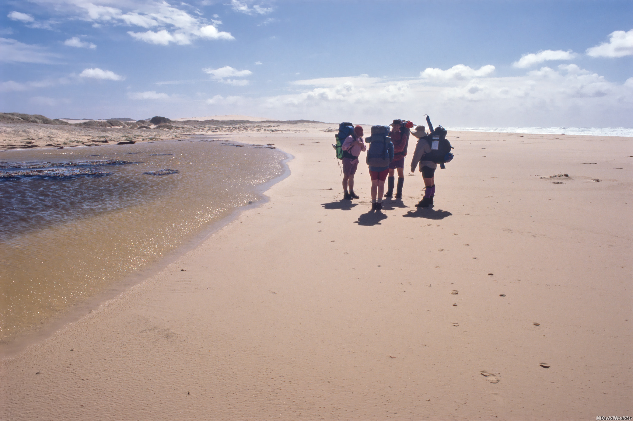
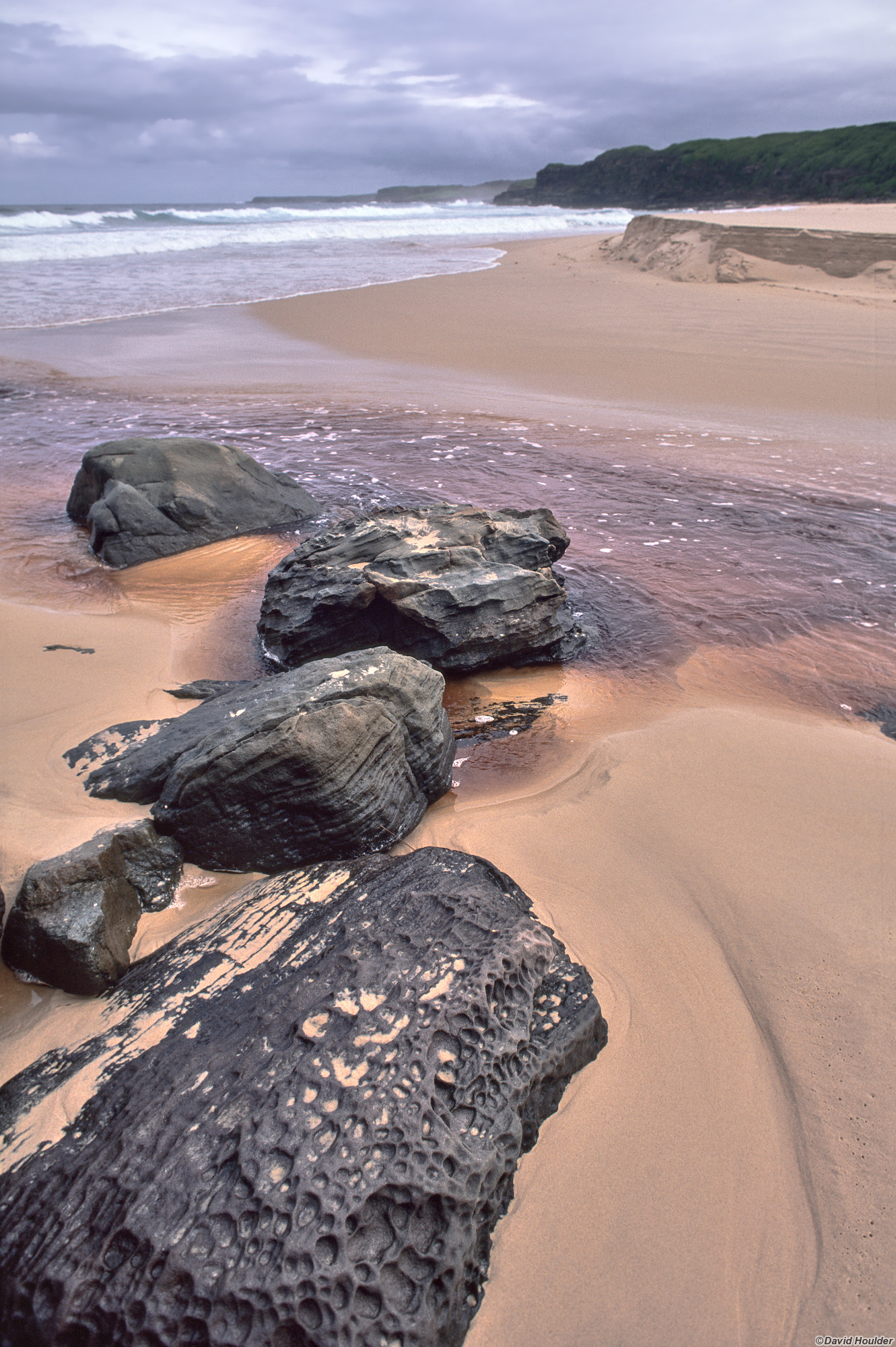
Be prepared to walk on a fair bit of soft sand. This dune was advancing on lake Barracoota, eating up the banksias and spitting them out again years later as decayed stumps in its wake. When we were there I reckon it was moving maybe a metre a day.
Our campsite was just to the left of this picture. It could well be engulfed by the dune by now, but the main advance of the dune is seen here, just up the shore a little way, so it may still exist.
There used to be a telegraph line running from the mainland out to the lighthouse on Gabo Island. Apparently there was enough of a sandbar or something that you could put poles up, but thats long gone and Gabo Island really is an island now.
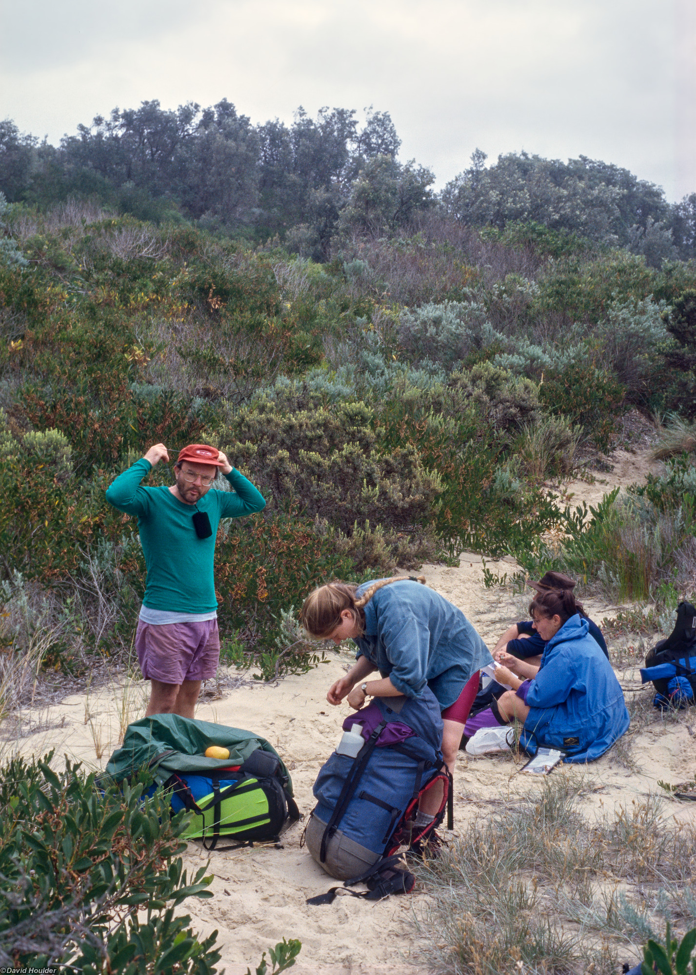
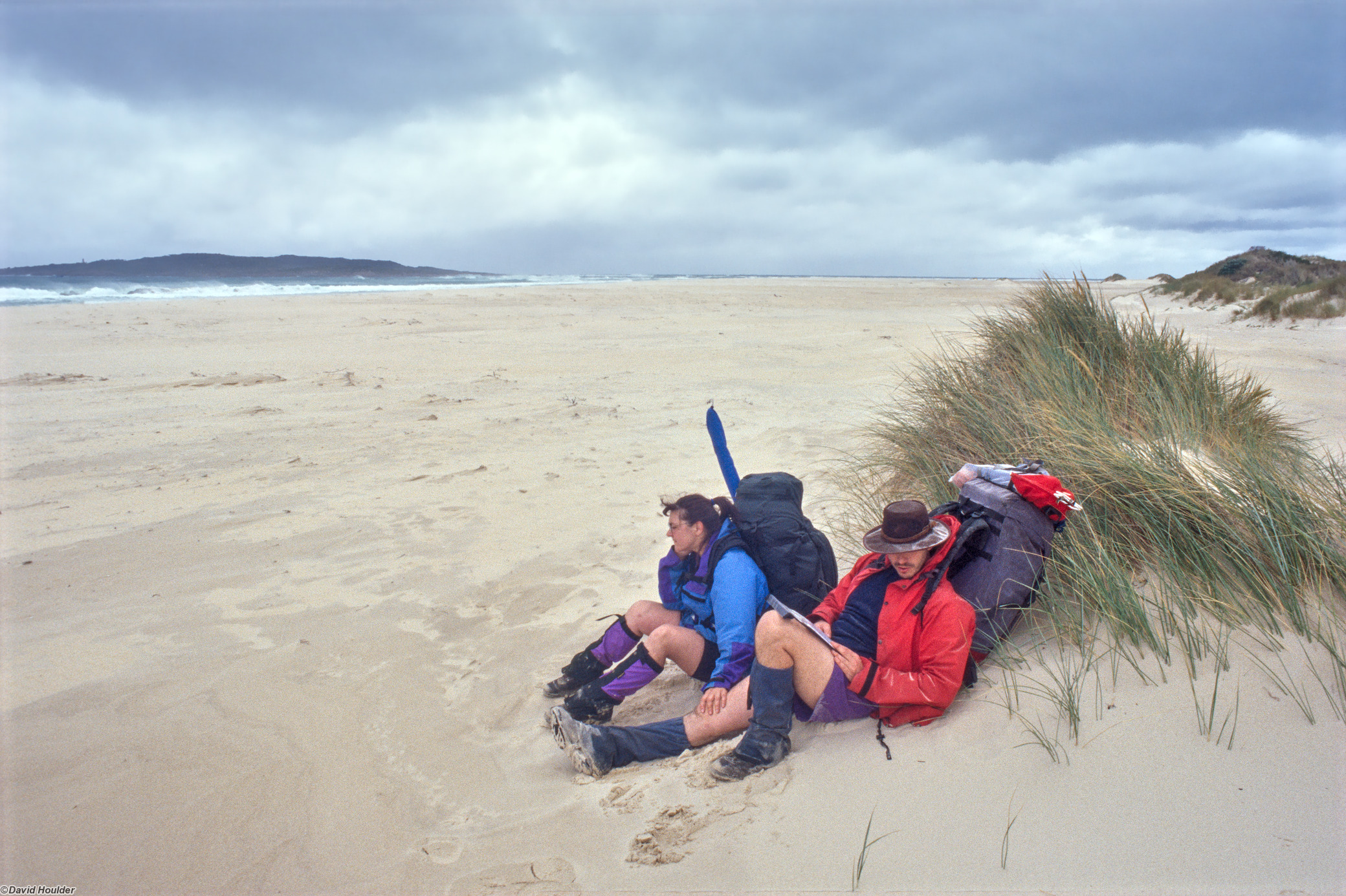
This part of the coast is notoriously windy - its pretty much the south-east corner of Australia, and out on the dunes where there's no vegetation it can get pretty abrasive. Just staying upright and moving forward is a feat. Here we're recovering after a particularly arduous traversal of a large dune. Meika lost his hat in the sandstorm, chased it into a swirling eddy of airborne sand and wasn't too sure if he was going to come out again.
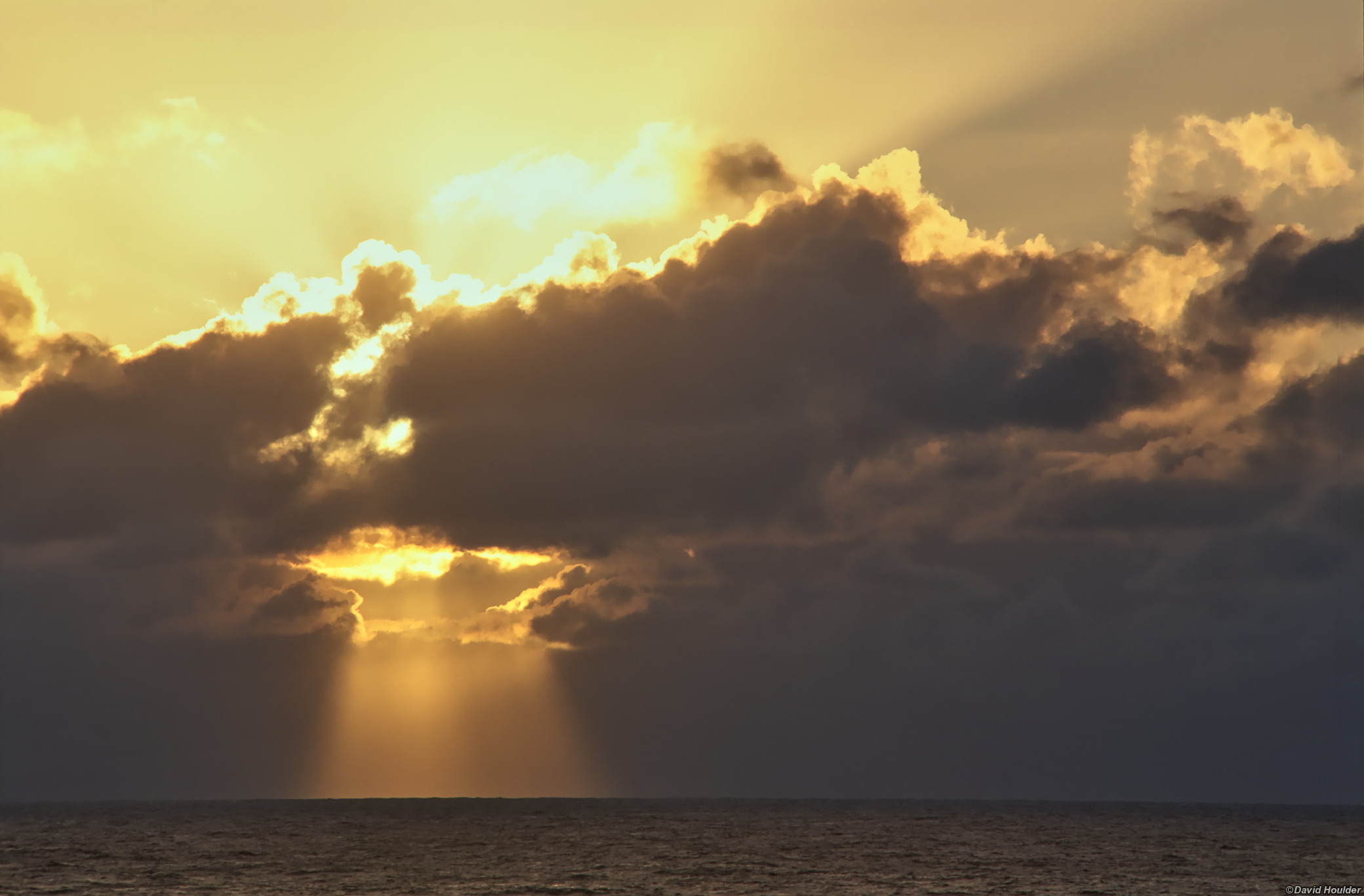
Part of the reason for doing this trip was to be at Cape Howe for the sunrise on 1 January 2000. Apparently Cape Howe (an hour's walk away from this spot) was the first place on mainland Australia to see the sunrise of the new millennium. I guess the same thing applies every year, so for those who start the millennium on 1 January 2001, this was also the place. And it might have looked much the same.
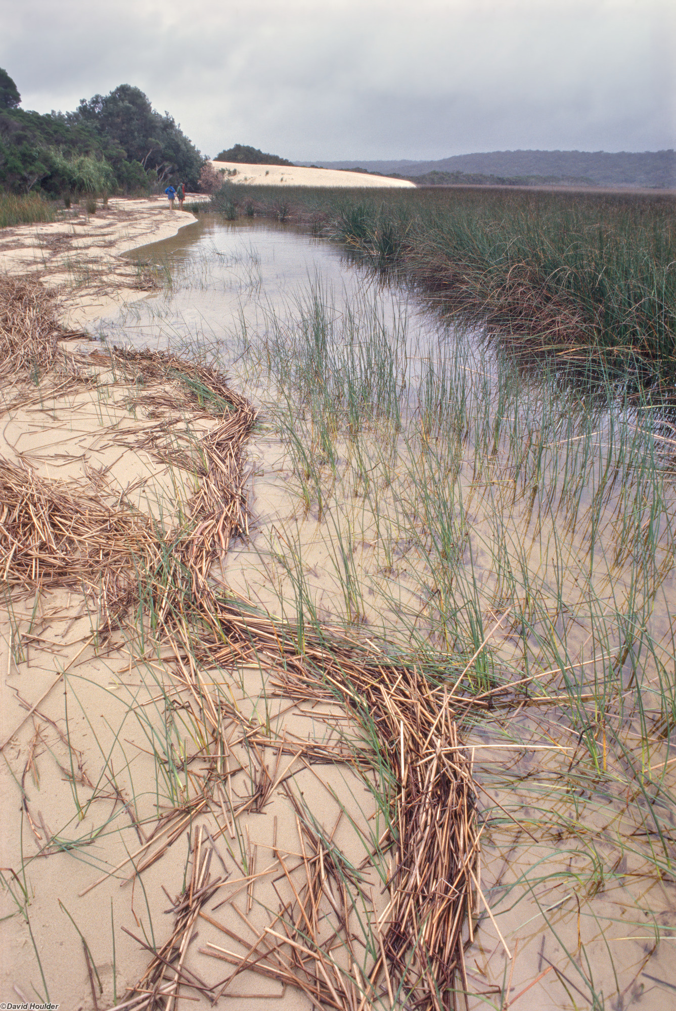
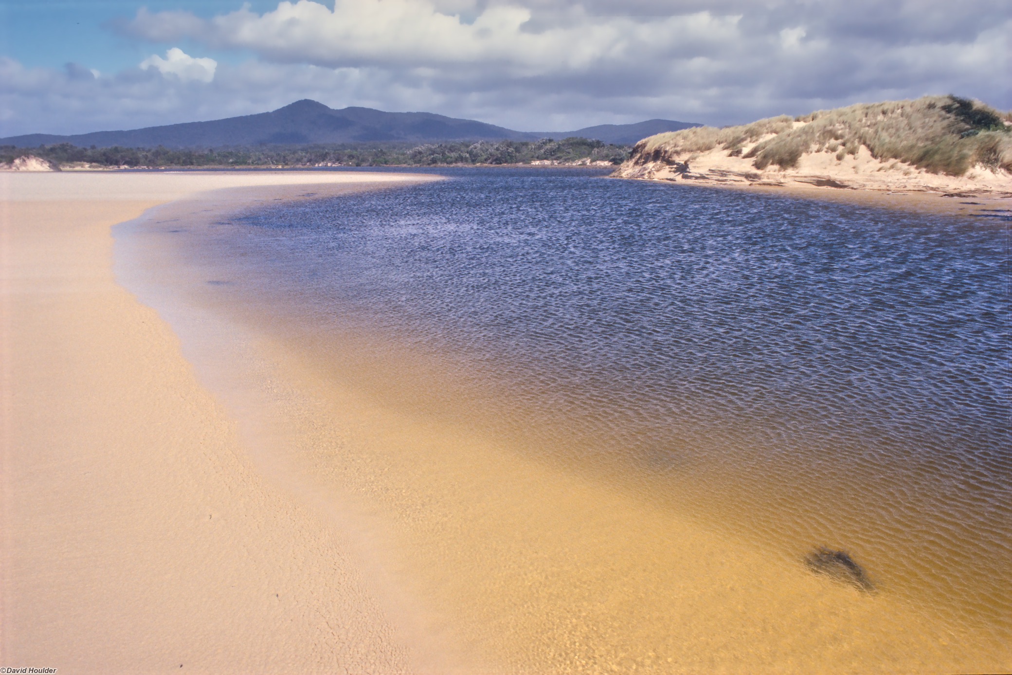
A little after sunrise on 1 January 2000. Our campsite is on the shore of the lake, a little to the right of this photo.
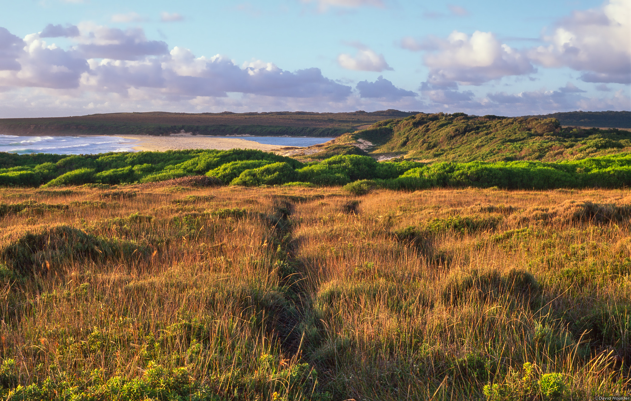
A little further north and another lovely campsite.
The campsite is just off to the left.
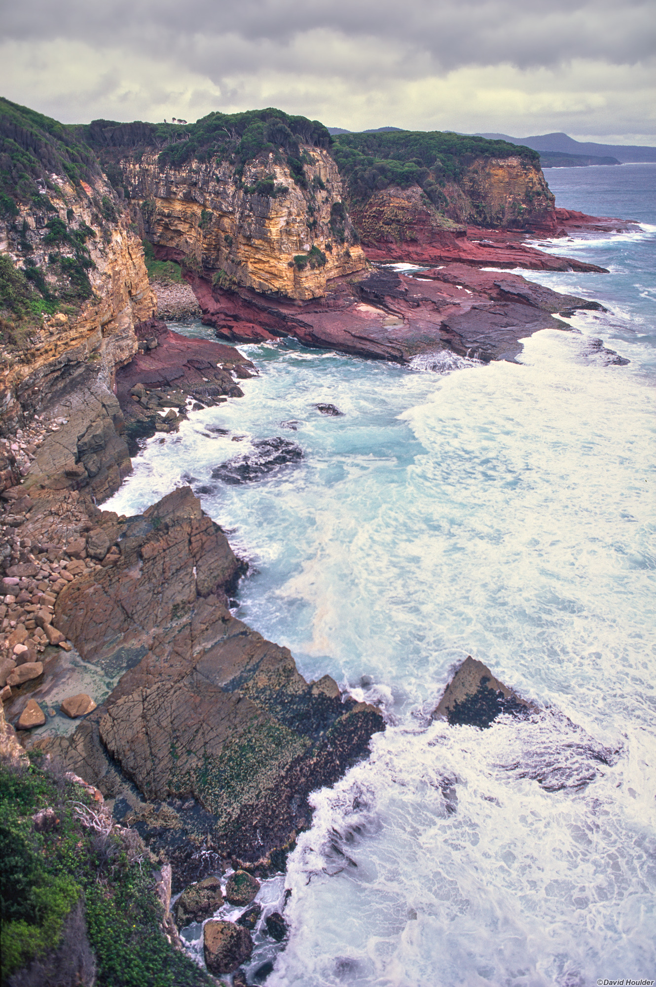
As you head north from Cape Howe the terrain starts to change. Dunes and beaches give way to heath, cliffs and headlands.
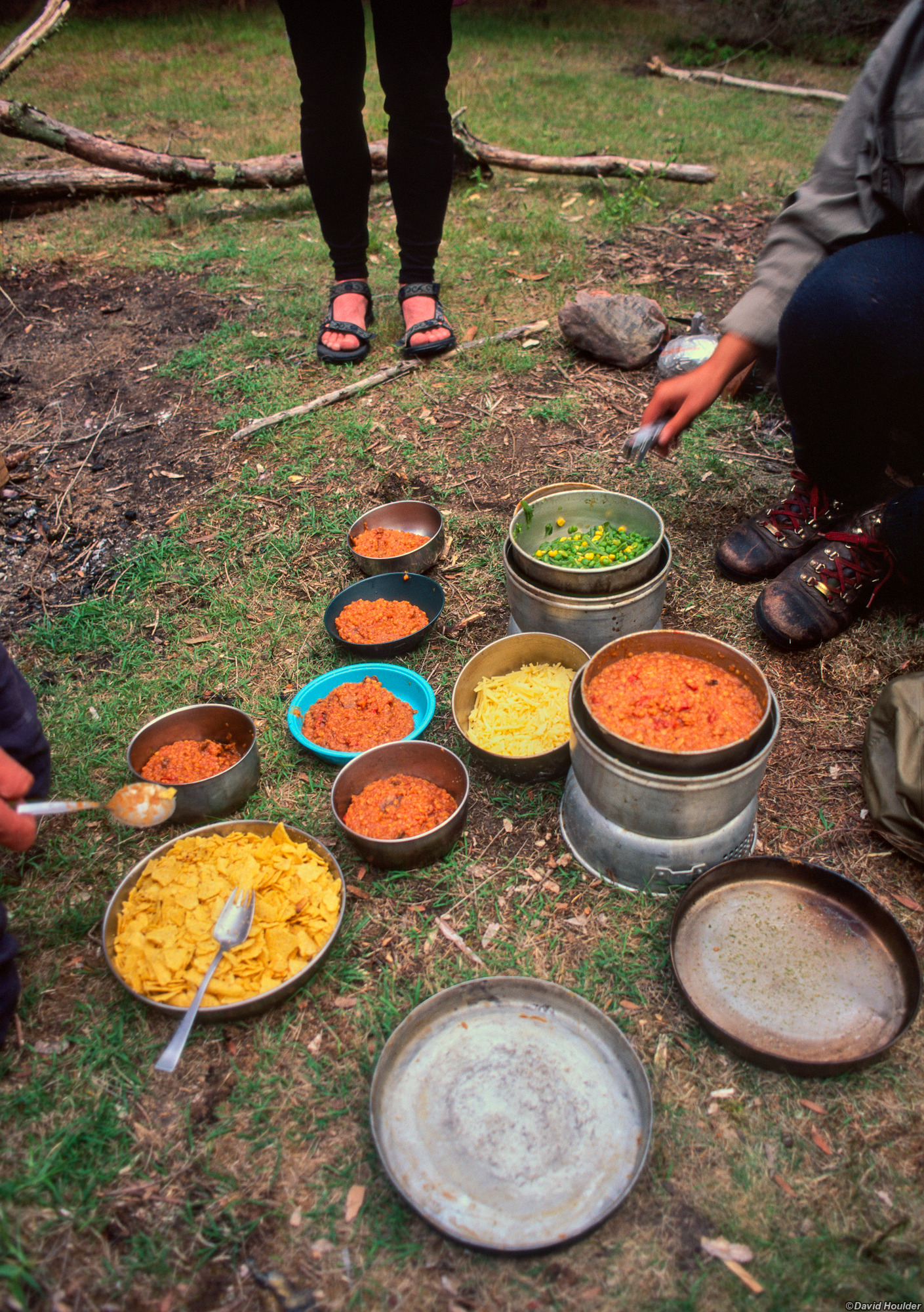
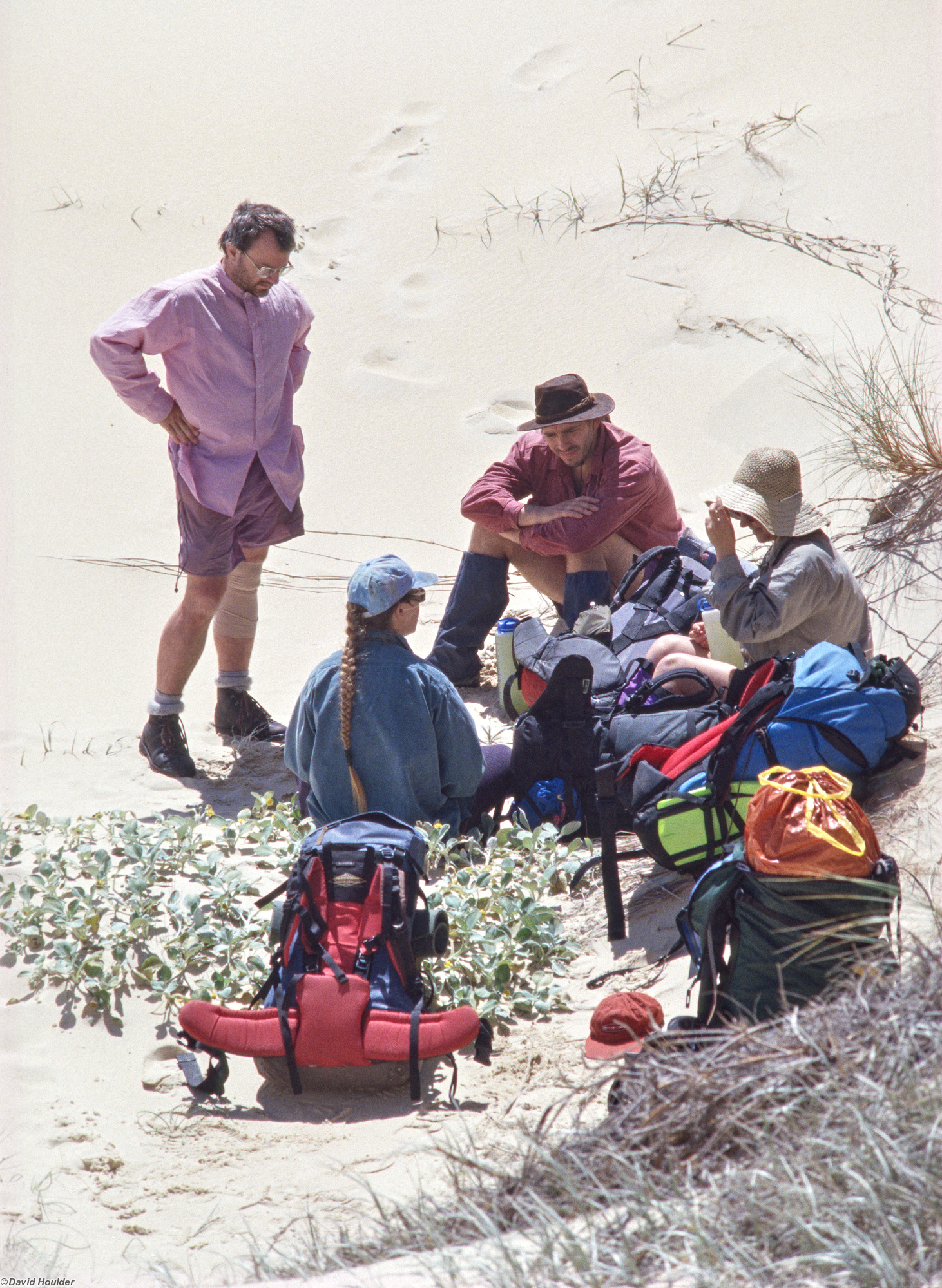
You can cook almost anything in a Trangia. I've heard that even souffles are possible. They're so low-tech that there's almost nothing to go wrong. I even jury-rigged a sardine can as the burner once when I borrowed one that was missing this vital component. Here we have a dinner for five - chili beans, as I recall. You will notice that the corn chips (bottom left) are somewhat more fragmented than the ones straight off the supermarket shelf.
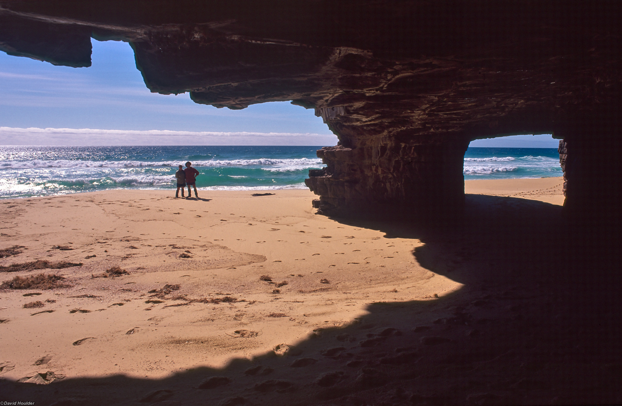
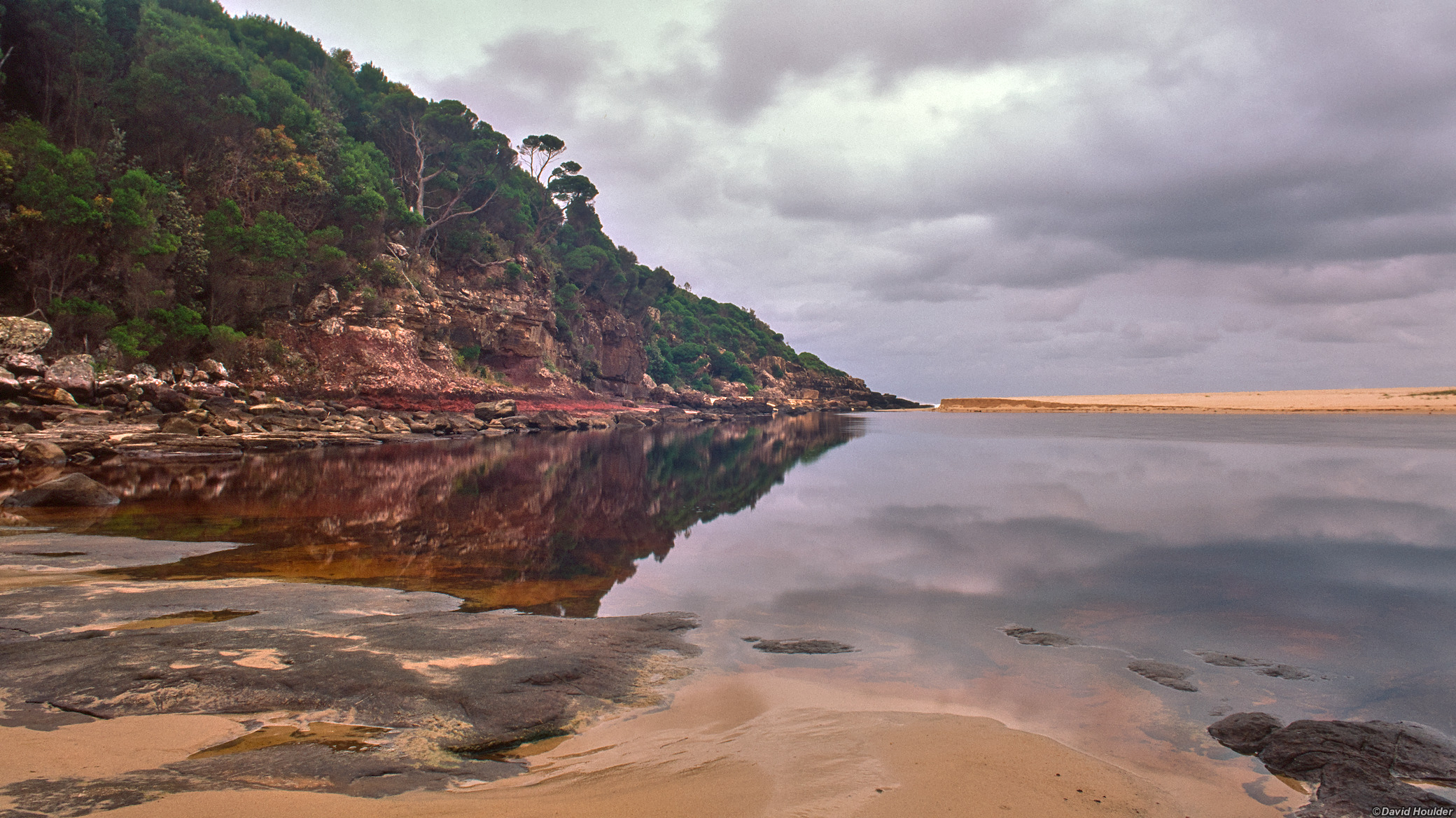
At the northern end of the walk are a couple of caves that the sea has carved into the headland. At low tide you can explore them. This one is quite cavernous, but there's also a narrow rectangular one, just big enough to stand up in, that extends into the cliff for about 50m.
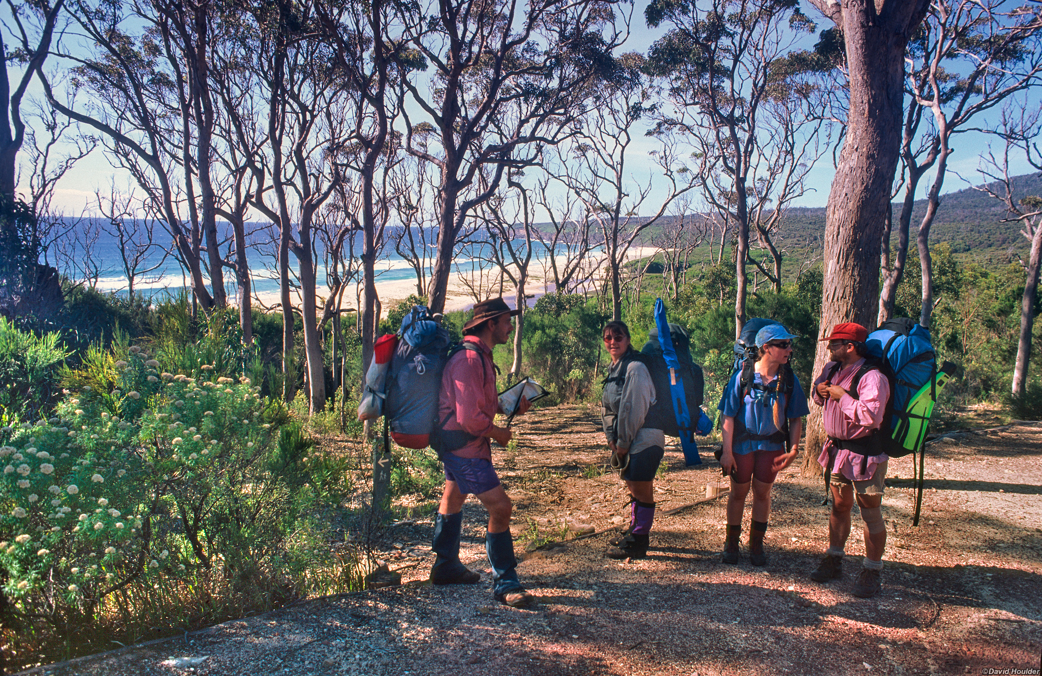
Just up the hill from the caves. From here its about half a day's walk to the ranger station where we left our car about a week ago.