This route passes through some of the most arid country in Australia. However, it does actually rain here from time to time, and when it does, the unsealed parts can become impassable. Check the conditions with local authorities if you're thinking of going this way. In mid 2010, the road through the Arckaringa Hills State Heritage Area (also known as the Painted Desert road) was in particularly bad condition. The section south of Oodnadatta is known as the Oodnadatta Track and closely follows the route of the Overland Telegraph and the old Ghan Railway .
Outback Central Australia (Watarrka to Marree)

Watarrka National Park 🔗
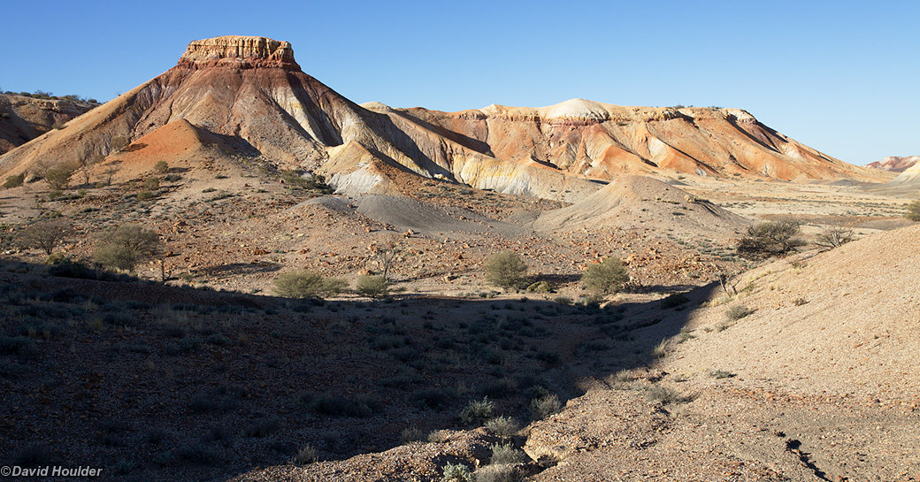
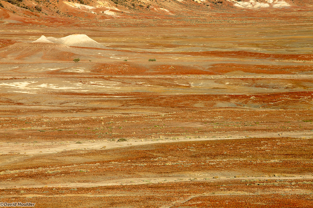
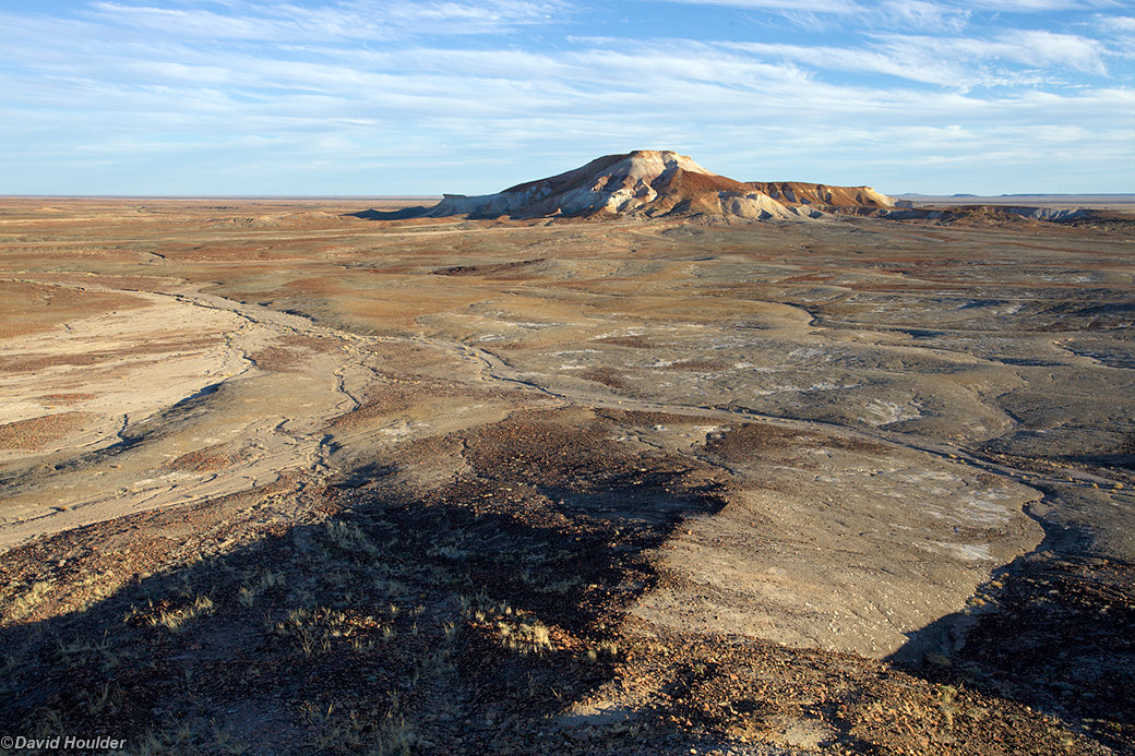
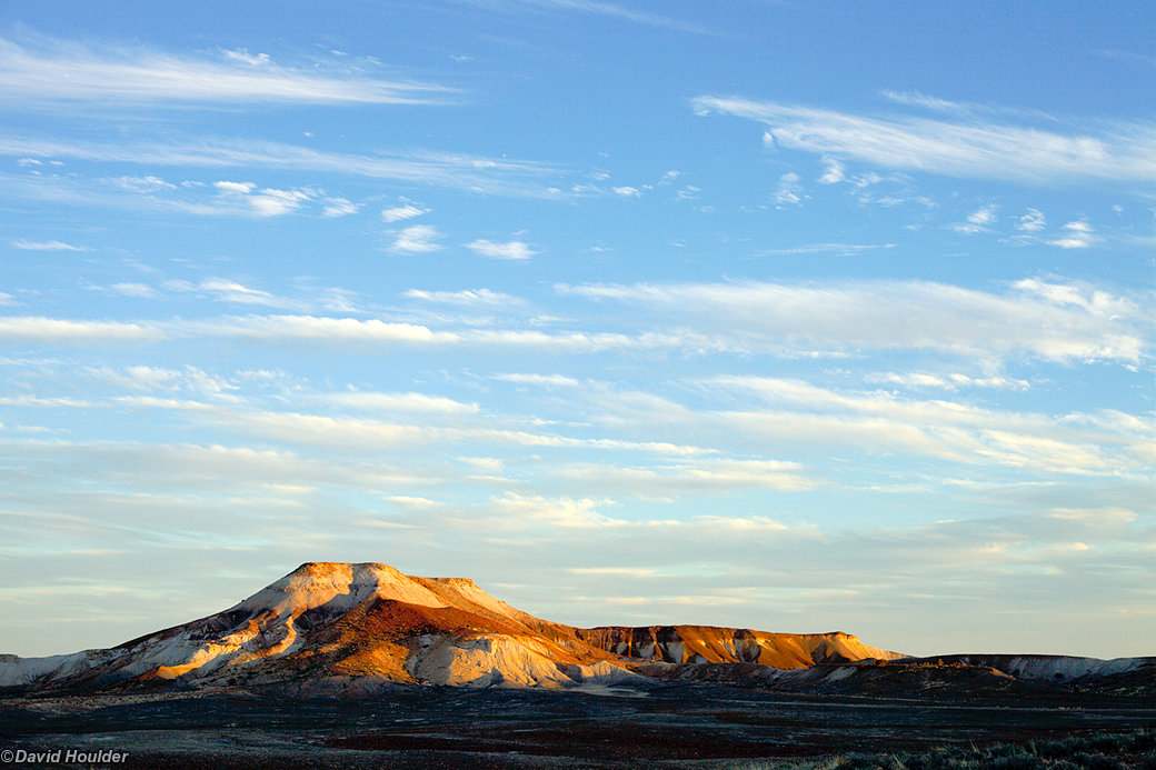
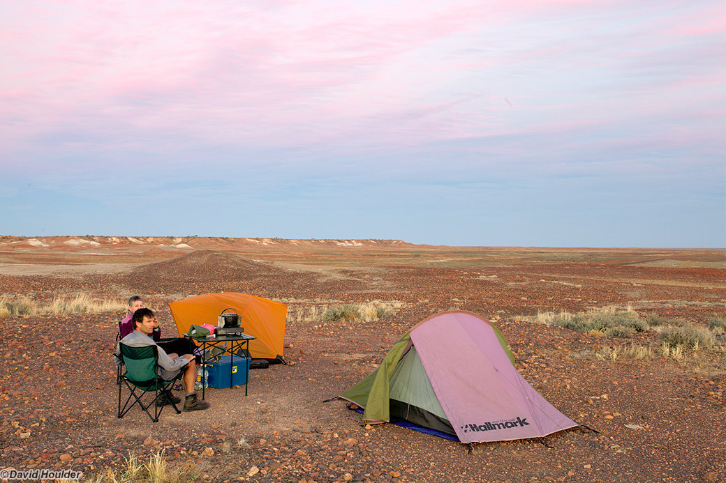
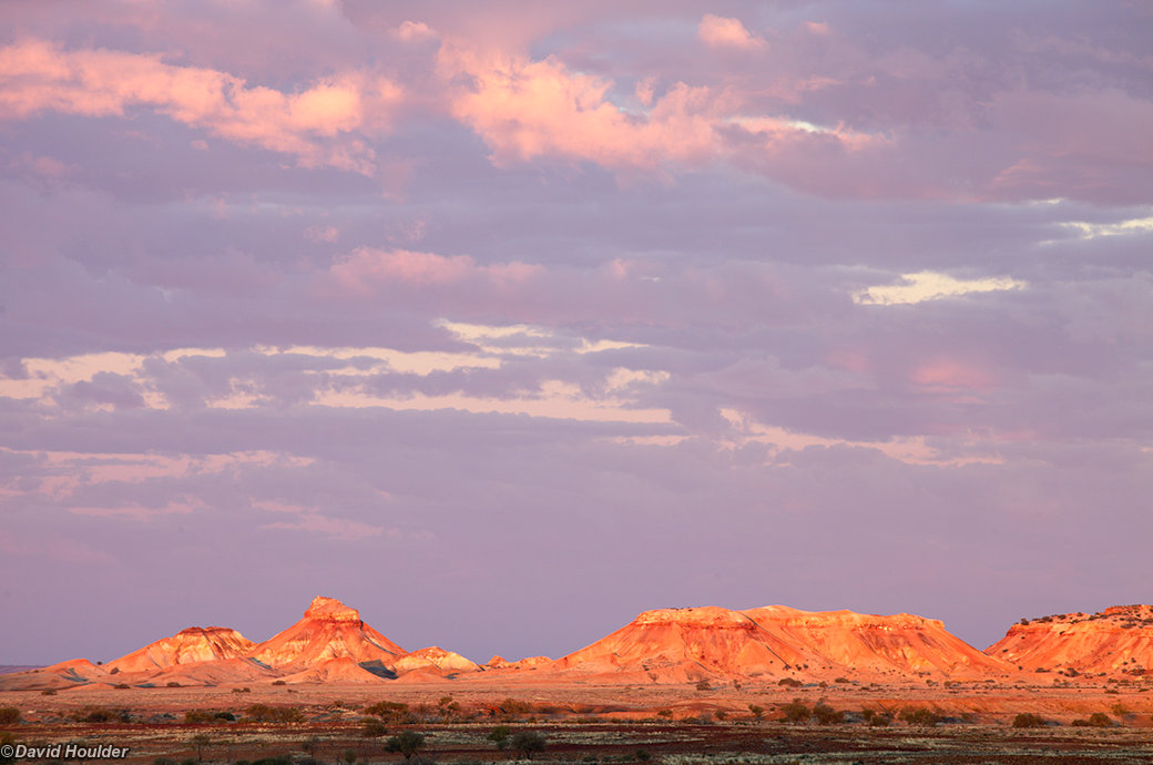
Between Marla and Oodnadatta is the Arckaringa Hills State Heritage Area, colloquially known as the Painted Desert. You can find out more about the area on the official website.


Coward Springs is situated beside the old Ghan Railway in northern South Australia. You can find out more at the Coward Springs Wikipedia page. This area is situated along the boundary of the Great Artesian Basin where water trickles to the surface though mound springs. In the late 1800s, a bore was sunk at Coward Springs that literally turned the trickle into a flood. The flow has been staunched considerably since then, but this spa pool at the campground is still well supplied.
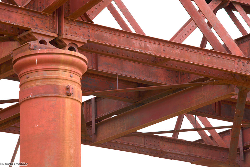
Built for the Great Northern Railway in 1890-1891, this bridge over the Neales River is 1922 feet (585 metres) long and was quite an engineering feat in its day, especially considering its remote location. See the Wikipedia page for more information.
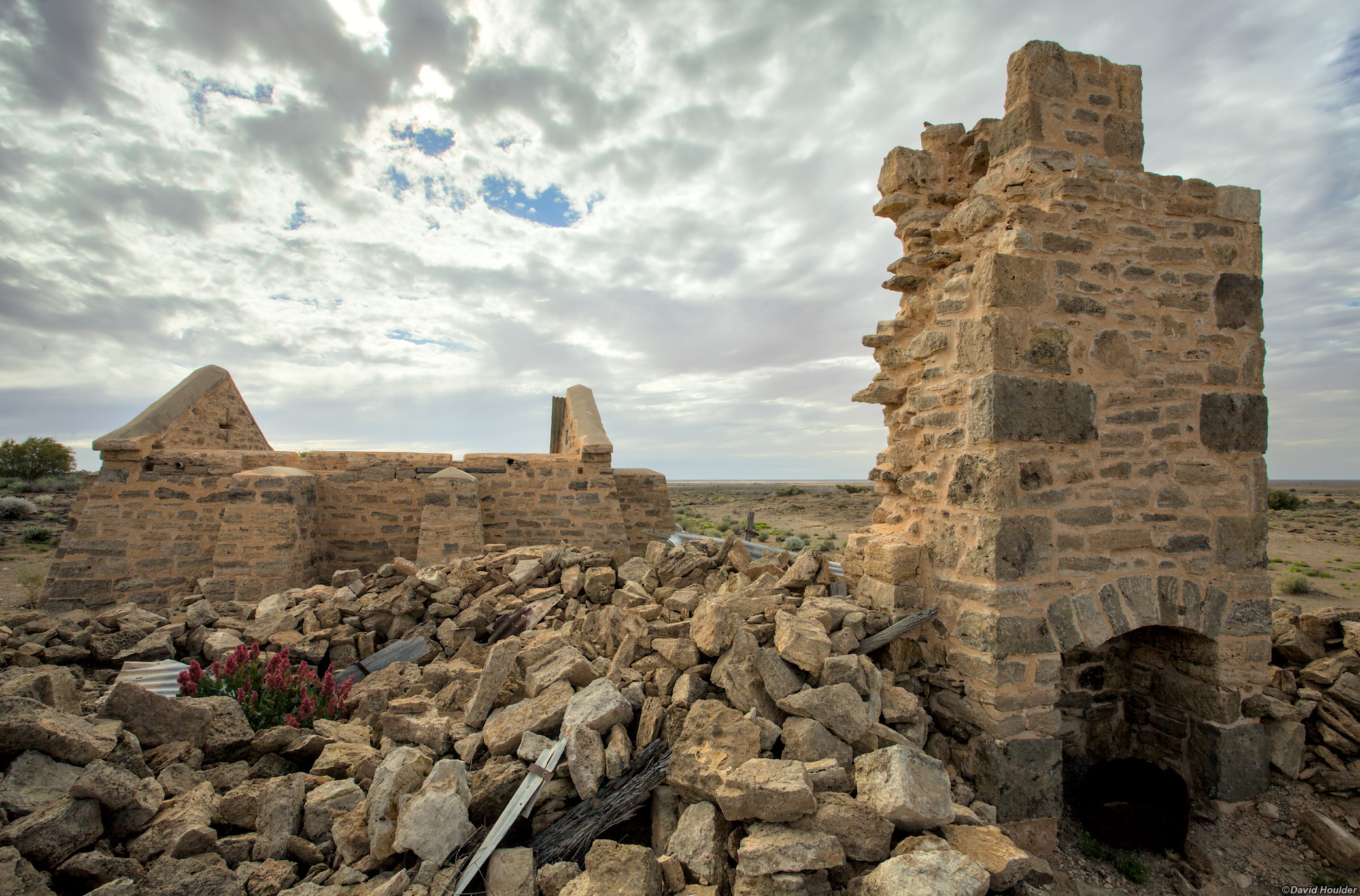
The remains of the Overland Telegraph station at Strangways Springs See the official fact sheet for more details.