Western half, 2003
The following photos are from the 2003 leg, from Ellery Creek to Mt Sonder.

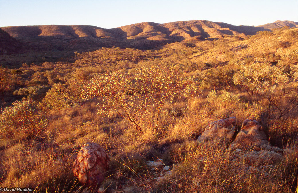
We got dropped off at Ellery Creek, about an hour's drive west of Alice Springs. From there we picked up the Larapinta trail and headed west. There was a bit of rain about a week before the walk, and a fire went through this area about a year before that, so there were quite a lot of little herbaceous things poking their heads through the soil to take advantage of the conditions.
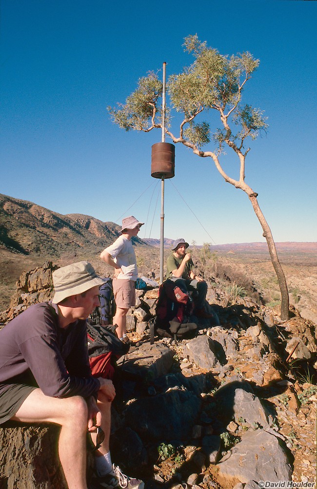
Mid afternoon on the first day at the trig point between Ellery Creek and Serpentine Gorge. We were all a bit weary at this point, and in retrospect it seems as though the first day was one of the hardest. Although there was no great ascent or descent on that day, there was a fair bit of climbing on and off these ridges, which was pretty tiring. And we all had full packs and hadn't been walking for a while, which didn't help. That's Brendan in the foreground, with Julie and Dan beyond.
The only problem with walking the trail from east to west is that you find yourself walking into the setting sun a bit. You need a hat with a decent brim, not only for your head, but to use as a handheld lens shade for photos like this. Here you can see how the rock strata have been folded into giant waves and then the softer layers eroded away. Almost looks like a 4WD track. The greenery in the foreground is sprouting Spinifex, presumably brought to life by the rain a week before.
Day two. Looking towards Ormiston Pound at the top of the ascent from Serpentine Gorge. This was the first big ascent of the trip.
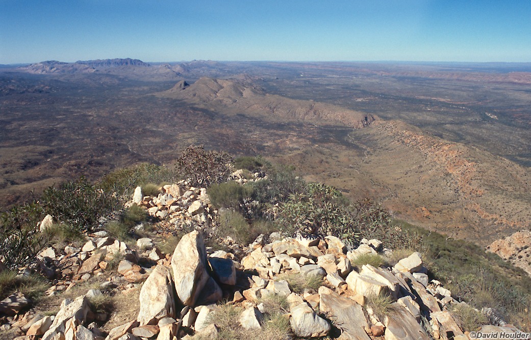
Somewhere near Counts Point on day two. This point is about 300m higher than the campsite we left that morning.
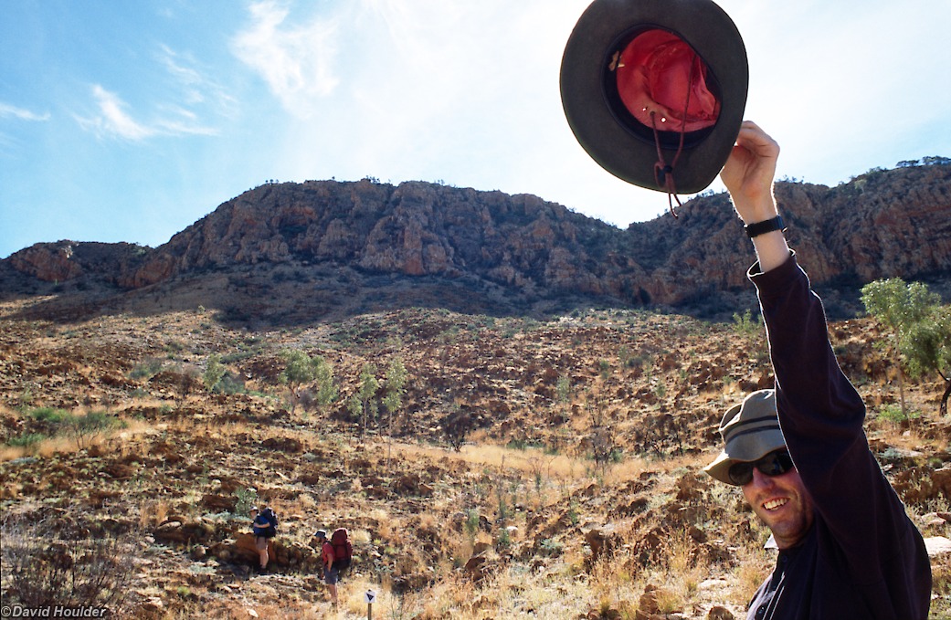
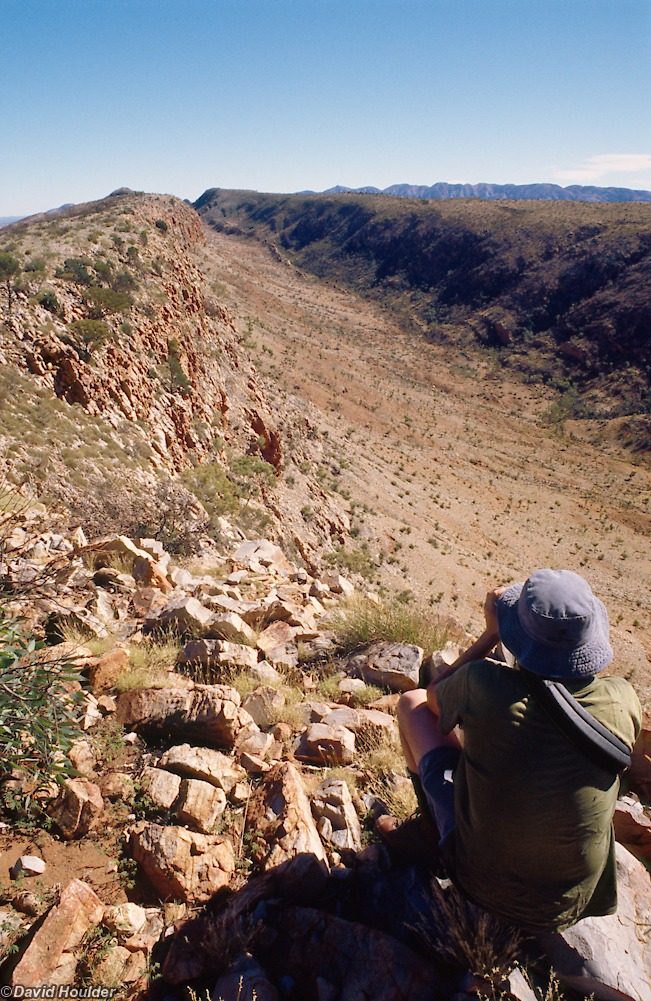
As I said, you need a hat to keep the sun out of your eyes.

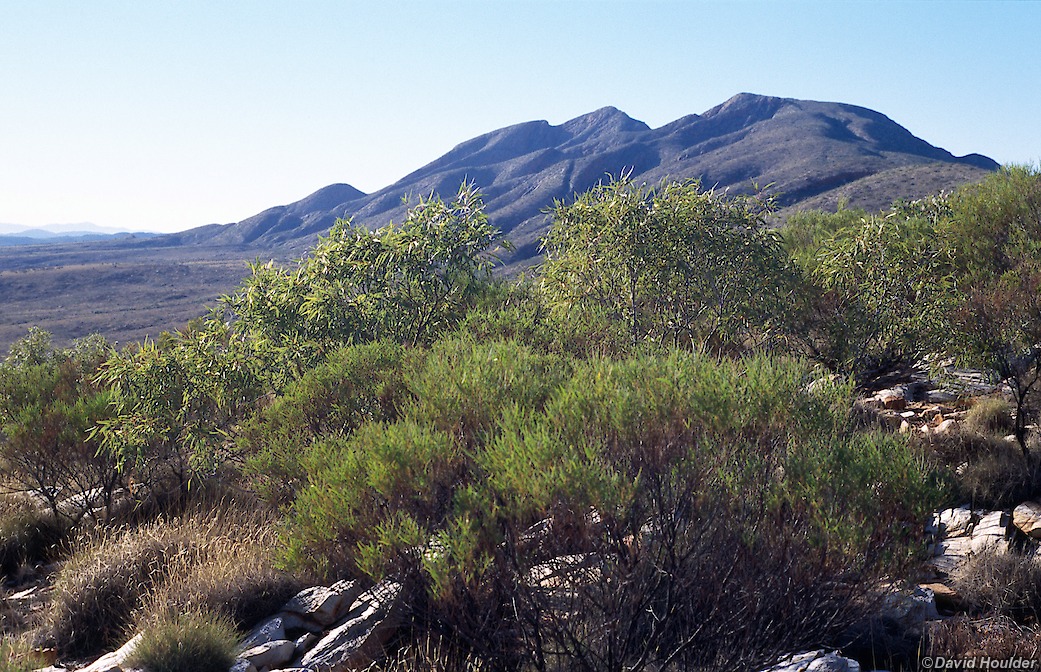
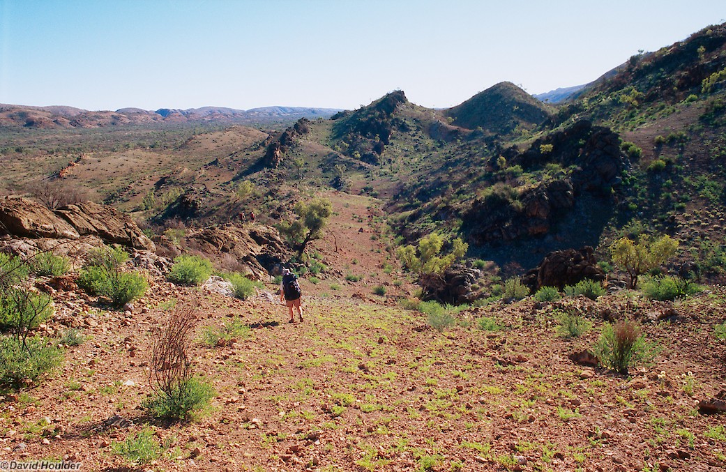
After Inarlanga Pass there's this long, wide valley that takes you down to Waterfall Gorge. Although it looks sort of glacial, the Larapinta track notes don't mention glaciation, so I guess the shape is due to the usual wind and water processes.

A weary but happy party just above the campsite. Despite its name, this was our only campsite without a reliable source of water.


One of the last views of Mount Sonder before Ormiston Gorge. These ghost gums are quite common in this area, but it's rare to find one on top of a ridge like this. Under a full moon it's easy to see how they got their name - the stark white bark really stands out at night. A favourite subject of Albert Namatjira too.


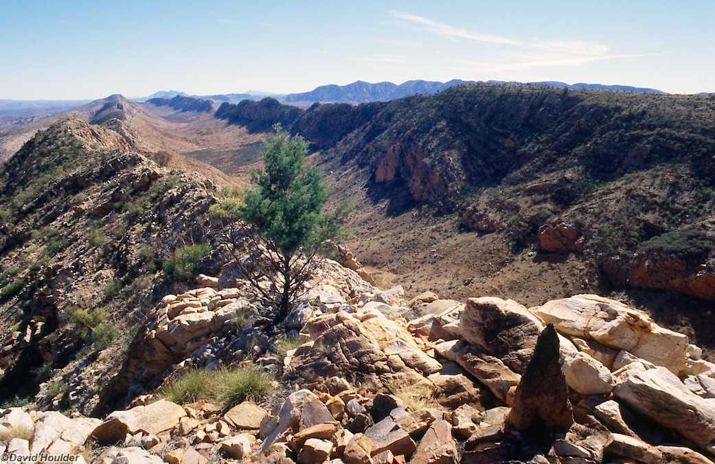
Another view from the same spot as Leaving Glen Helen. From here it's a two day walk to Redbank Gorge, camping overnight at Rocky Bar Gap, followed by a day walk up Mt Sonder.