Dales Gorge to Figtree Crossing
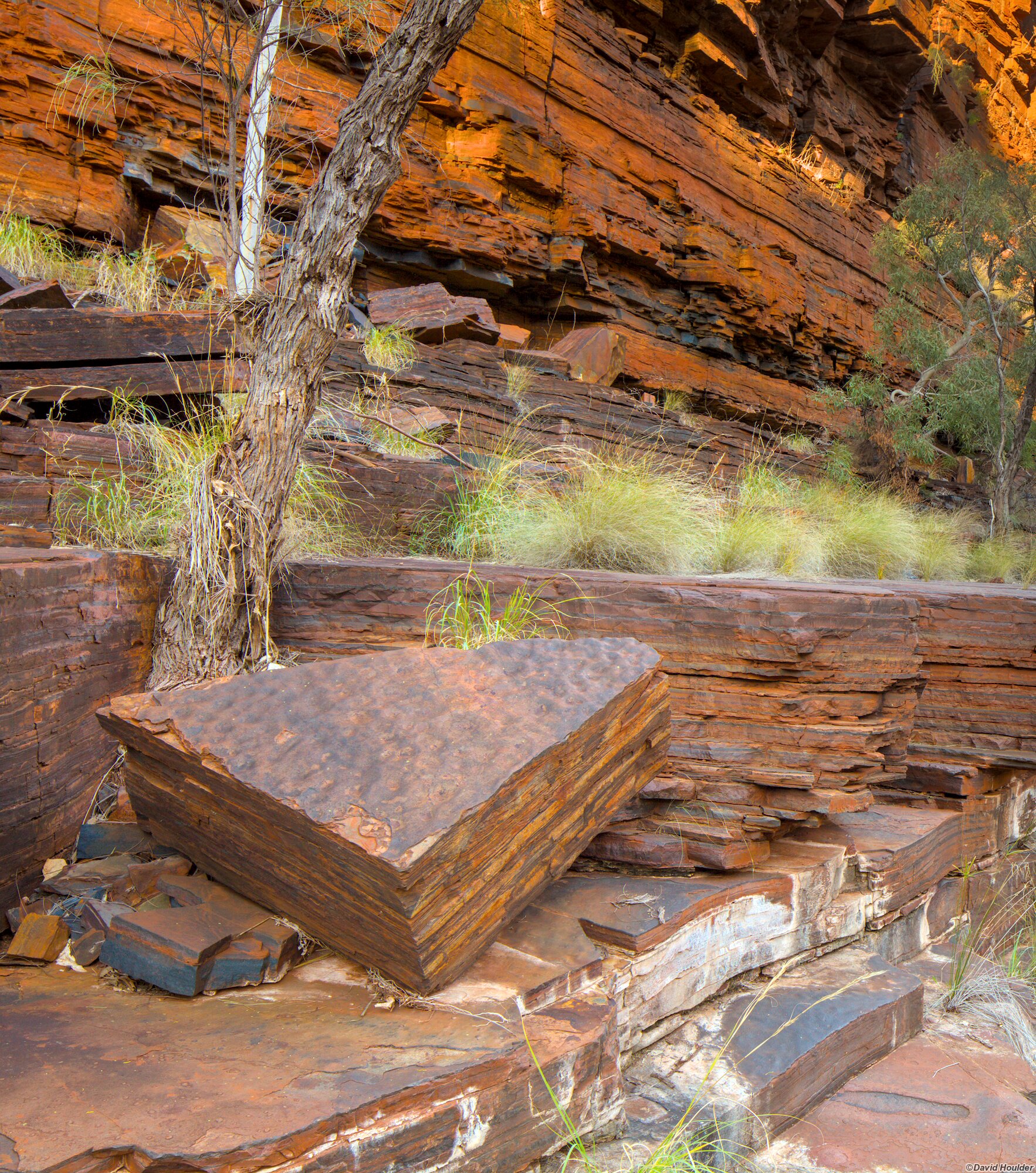
I did this walk in June 2011 at the end of the 2011 Pilbara trip . It can be done over four days at a fairly relaxed pace, but see my warnings in the Munjina to Bee Gorge walk about weather and terrain. The main attractions are the side-gorge exit from Dales Gorge, the plateau across to Munjina Gorge and the upper reaches of Munjina Gorge. The geology in those two small gorges is as weird and diverse as you're likely to find anywhere. They contrast with the intervening plateau with its spinifex, termite mounds, flowering shrubs and trees. You'll need the following 1:50,000 topographic maps:
- Mount Windell 2652-4
- Mount George 2653-3
The start of this walk retraces in reverse the early stages of the 2008 Munjina to Bee Gorge walk. On the 2008 walk we ended up having to swim a large pool as we approached the Circular Pool turnoff, but this time we discovered that by sticking to the northern bank we could get past the pool with dry feet. We had a fairly late start on day one after exploring the day-walk areas around the upper end of Dales Gorge. so the first campsite was basically on the first patch of reasonably flat, dry ground that appeared as the light was failing.
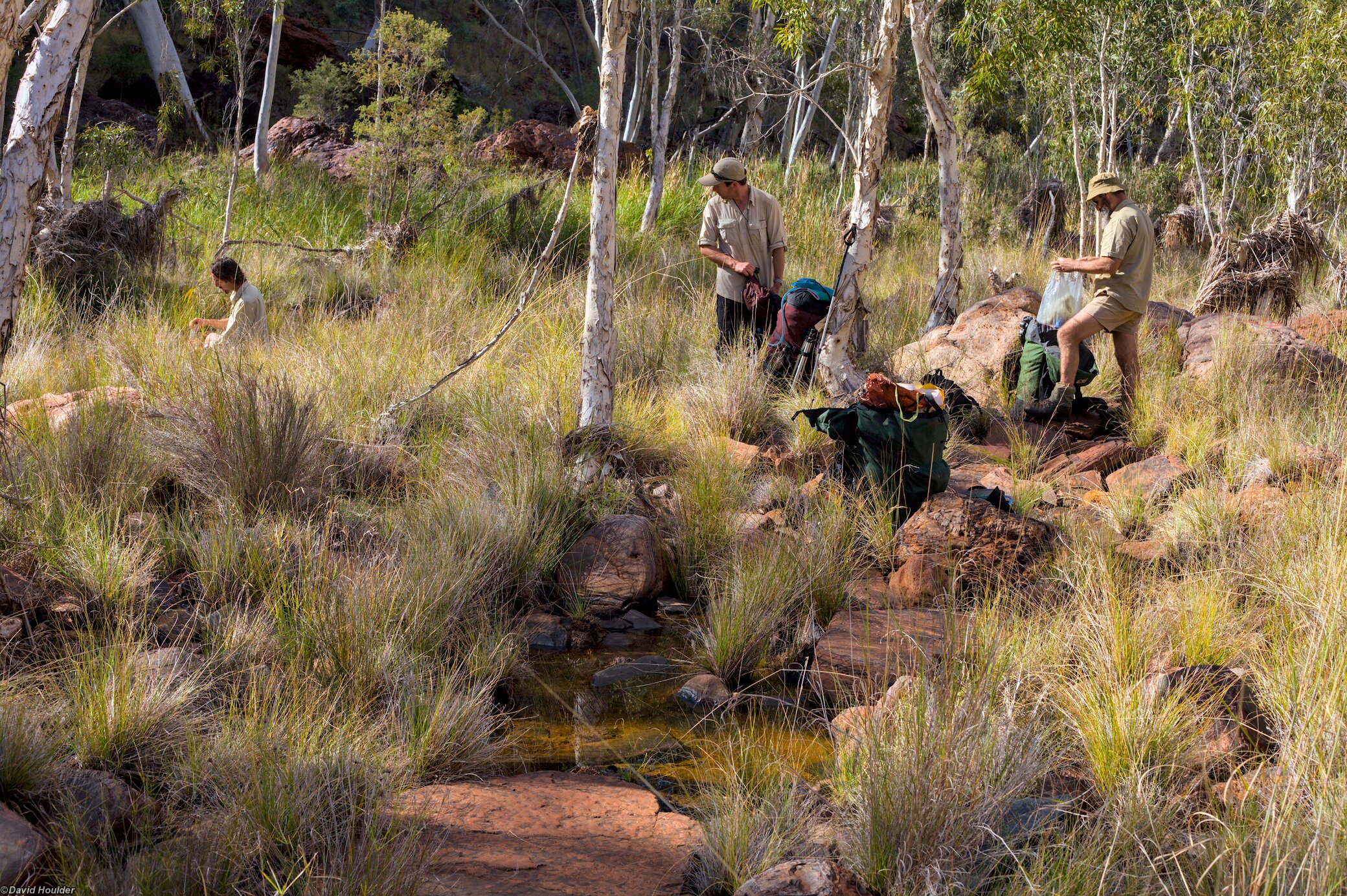
Day two took us past Dignum Gorge and down to a nice campsite at the exit-gorge junction. There was a reasonable supply of running water here, although this might not be the case in a dry year or later in the season. Not being in a rush to get anywhere, and having budgeted time for photography, we spent day three here too.
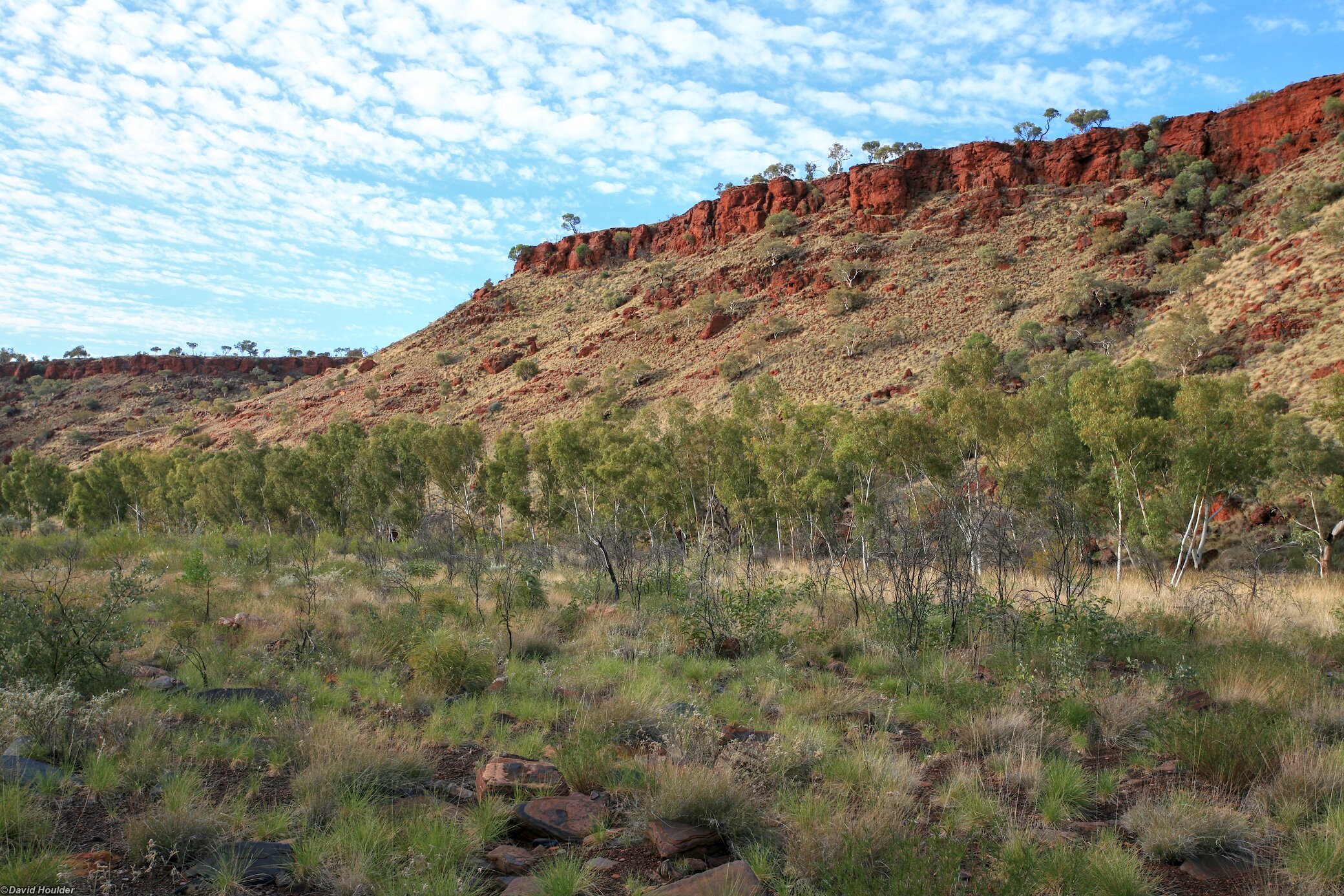
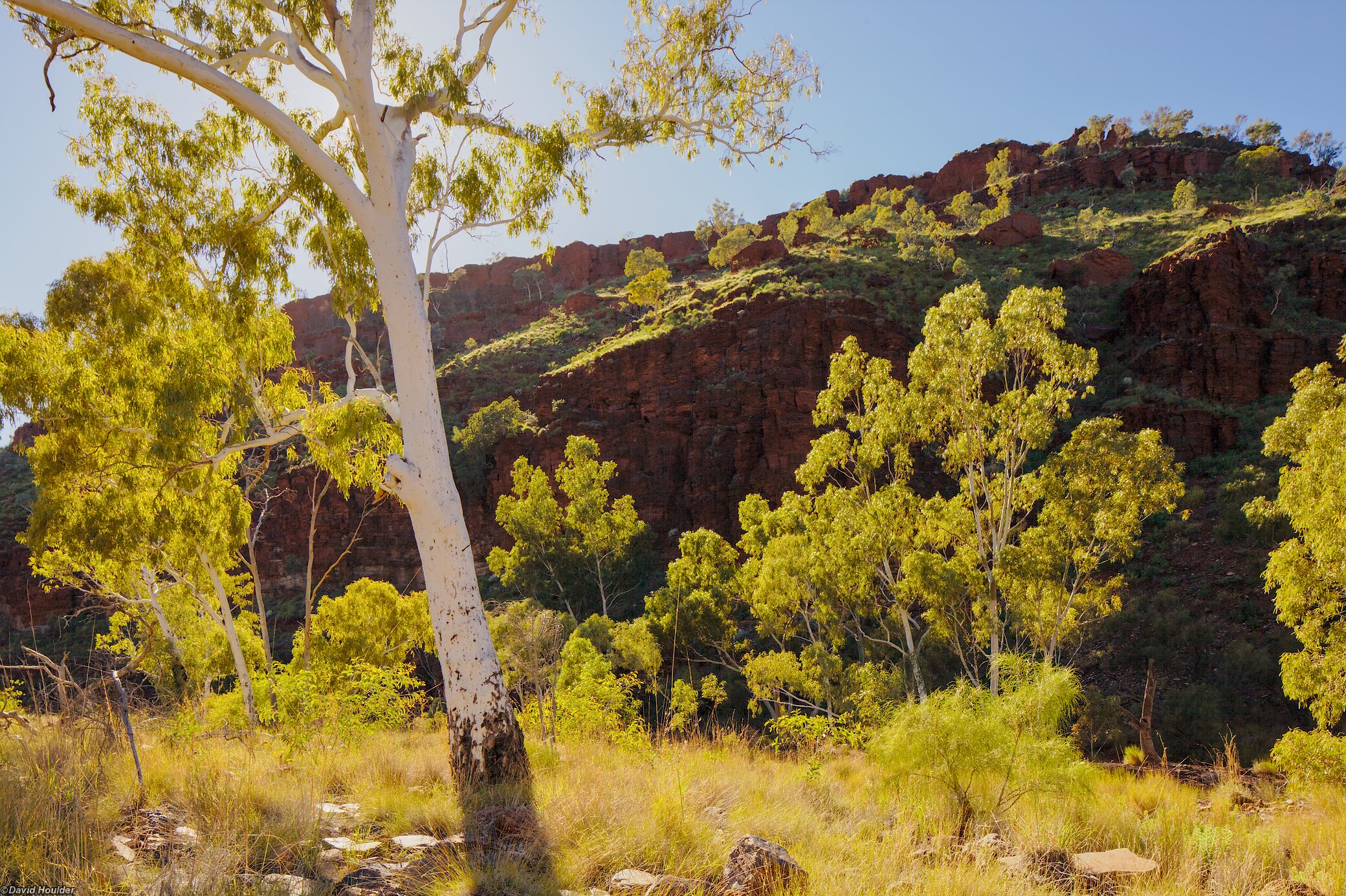
Day four saw us walking up the exit gorge, across the plateau and down into the Munjina Gorge tributary. We made camp at the edge of the creek bed at the junction of a south-western tributary. This was a pleasant campsite, but judging by the flood debris in the trees nearby and the sculpted mounds of gravel here, this would be a fairly bad place to be if any significant rain fell. Although the weather was fine, we camped on the edge of the creekbed and had easy access to higher ground just in case.
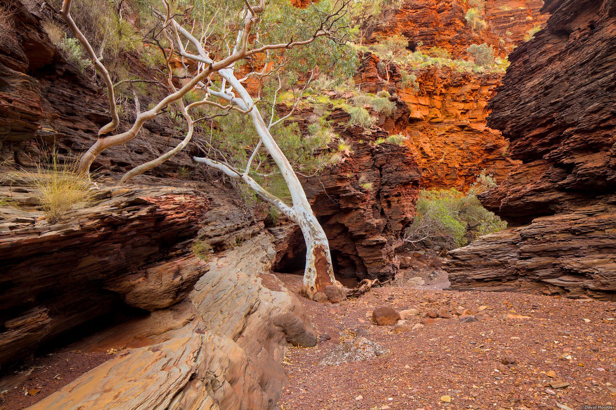
The original plan for day five was to follow the gorge out to Figtree Crossing to meet the highway, but at the junction with the eastern branch of Munjina Gorge we reassessed that. The eastern gorge was swampy, knee-deep in flood debris, waist deep in reeds and thick with paperbarks. We pretty much all decided right there to scuttle up to the southern rim and make our way out along that. From that vantage point we could see that the gorge looked like pretty slow-going all the way along.
On day one, just beyond the eastern extent of the Dales Gorge Trail. From here it gets a bit rougher and you may need to swim parts a little further downstream if you can't get around the pools.
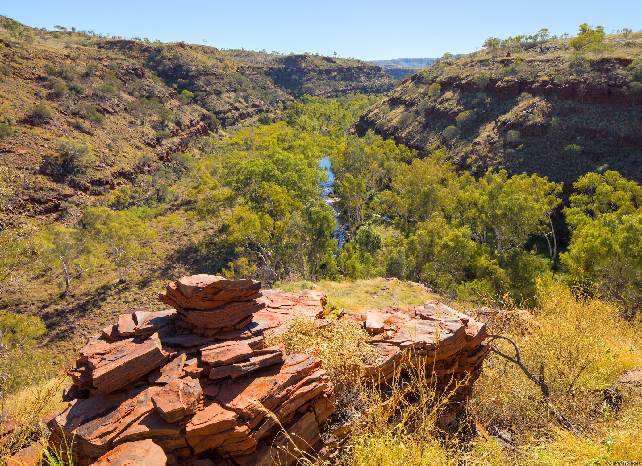
As you head downstream the gorge widens out.
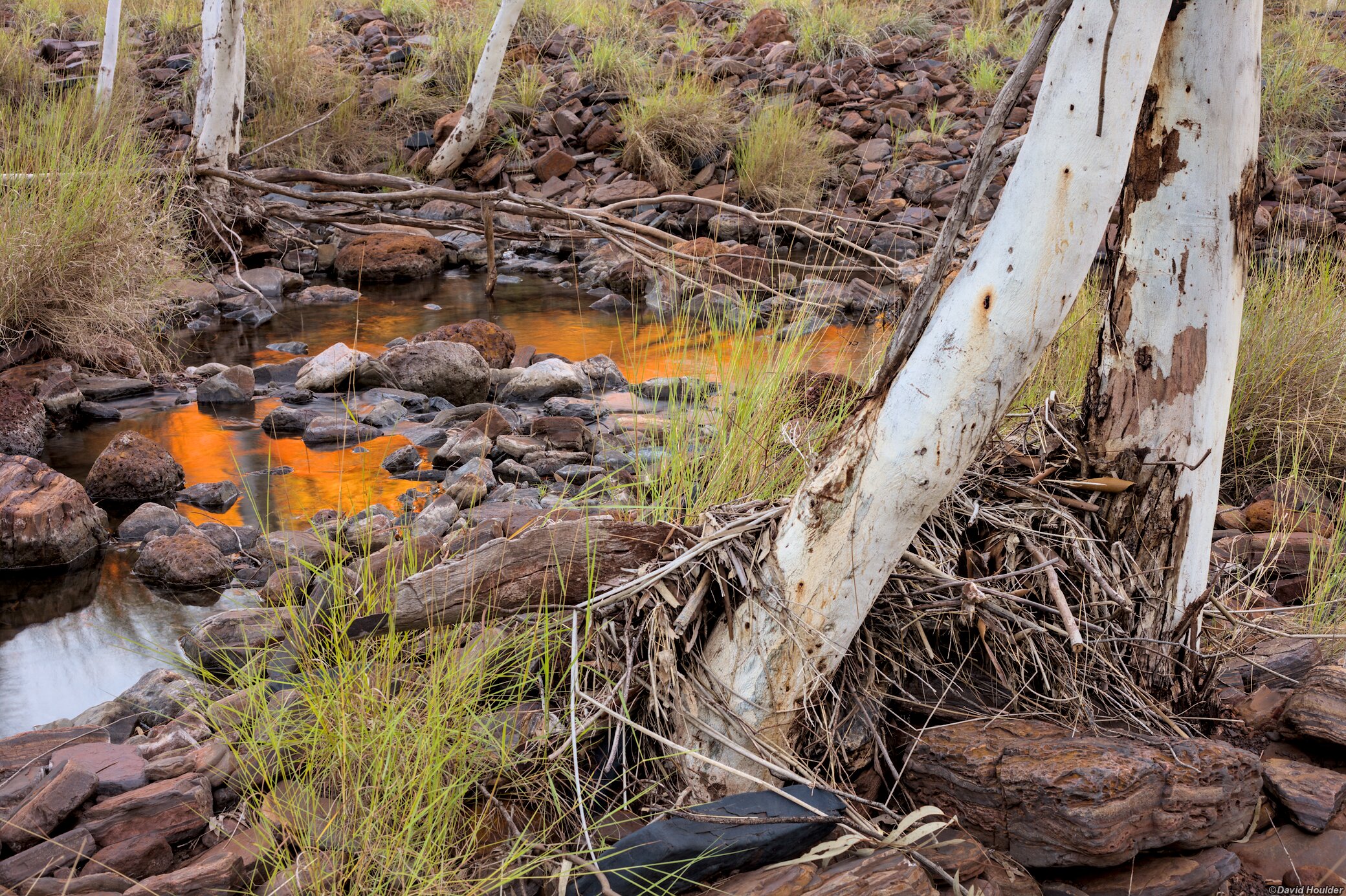
Near our second campsite, with reflections of the gorge wall lit by the rising sun.
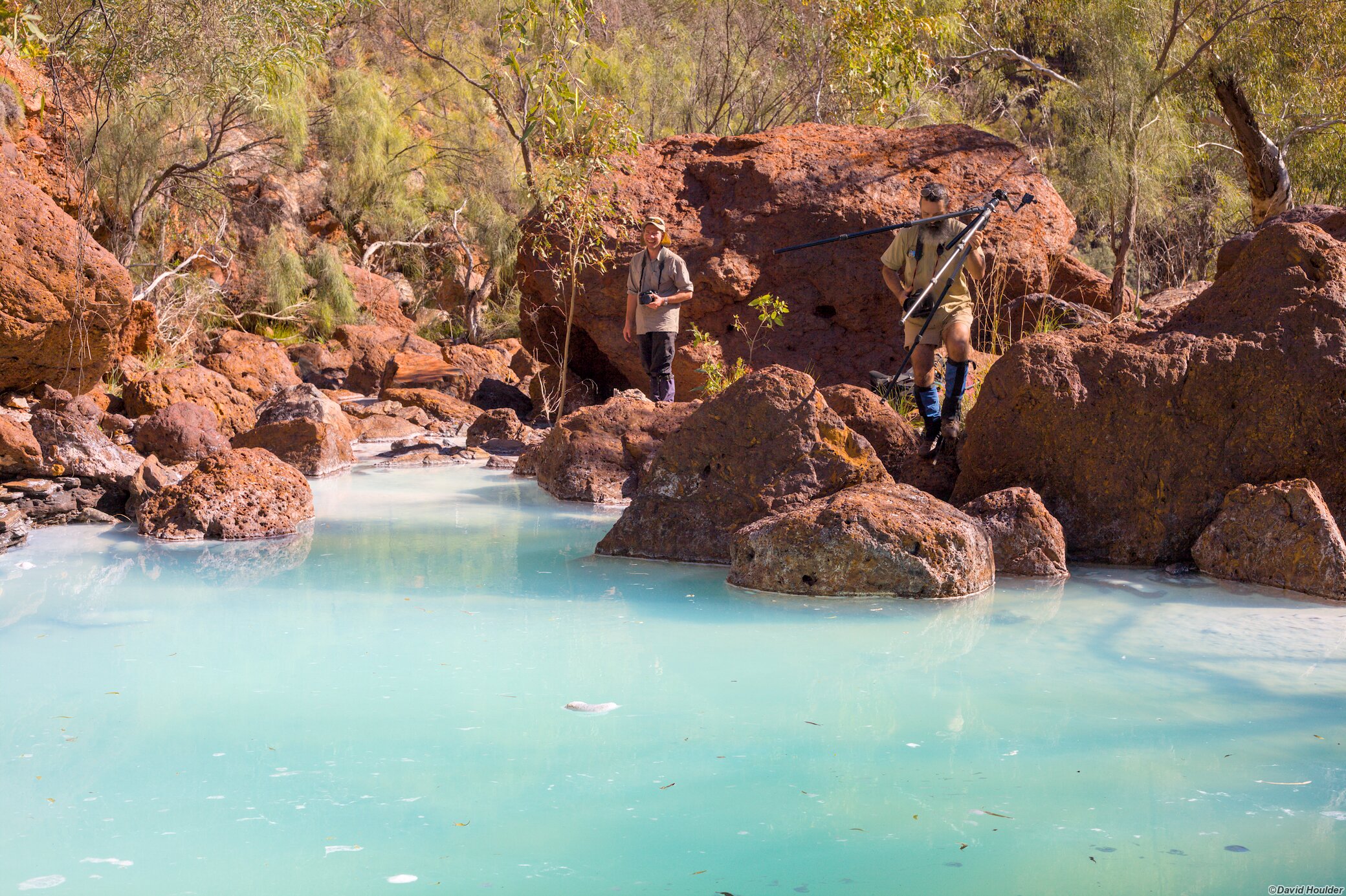
This is one of the most bizarre things I've seen on a bushwalk. This large, milky-blue pool is situated at the top of the exit from Dales Gorge (grid reference 681104 on the Mount Windell 1:50000 map). The only clue I have about the colour is from Bushwalking in the Pilbara by Kim Townsend, where he writes
Sometimes the water in the uppermost pools of this gorge is undrinkable due to dissolved minerals and acidity. The pool at 680108 is often a clear blue colour similar to a chlorinated swimming pool.