View Mount Bogong in a new window
This is a multi-day walk in the Victorian High country. We started a few kilometres beyond Falls Creek and ended up at the village of Bogong a few days later.
This is a multi-day walk in the Victorian High country. We started a few kilometres beyond Falls Creek and ended up at the village of Bogong a few days later.
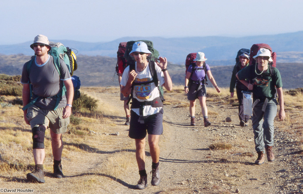
On the Mount Nelse track, an hour or so into the walk. The track is reached by driving through Falls Creek, past Rocky Valley Dam on High Plains Road and turning left a few kilometres past the dam wall.
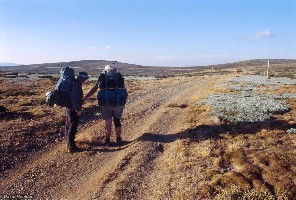
A little later on day 1, heading toward the first campsite. The walking on the first day is pretty easy: you can see the track ahead, skirting Mount Nelse at the top left. The first campsite at the Roper's Hut site is a couple of kilometres over the horizon. The hut itself was destroyed in the recent bushfire, but it's still a great campsite.
From the Roper's Hut campsite there's a 600m descent down Duane Spur to the unimaginatively named Big River, then another 600-700m climb up the (again, unimaginatively named) T Spur to the 2nd campsite at (wait for it) Camp Creek. Both of these spurs were extensively burnt in the fires, but when we did this walk in April 2004 the forest floor was already carpeted with seedlings.
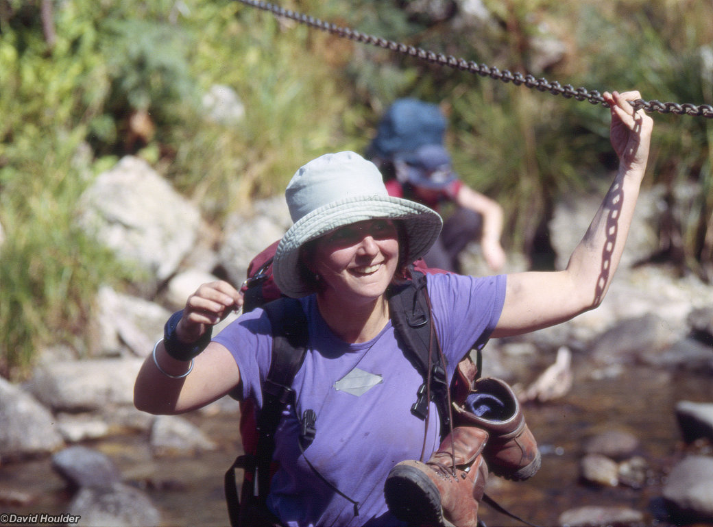
A brief stop on the way up from Big River. At this point everyone's feeling a little worse for wear: the descent to the river is fairly taxing, as is the climb up the other side.
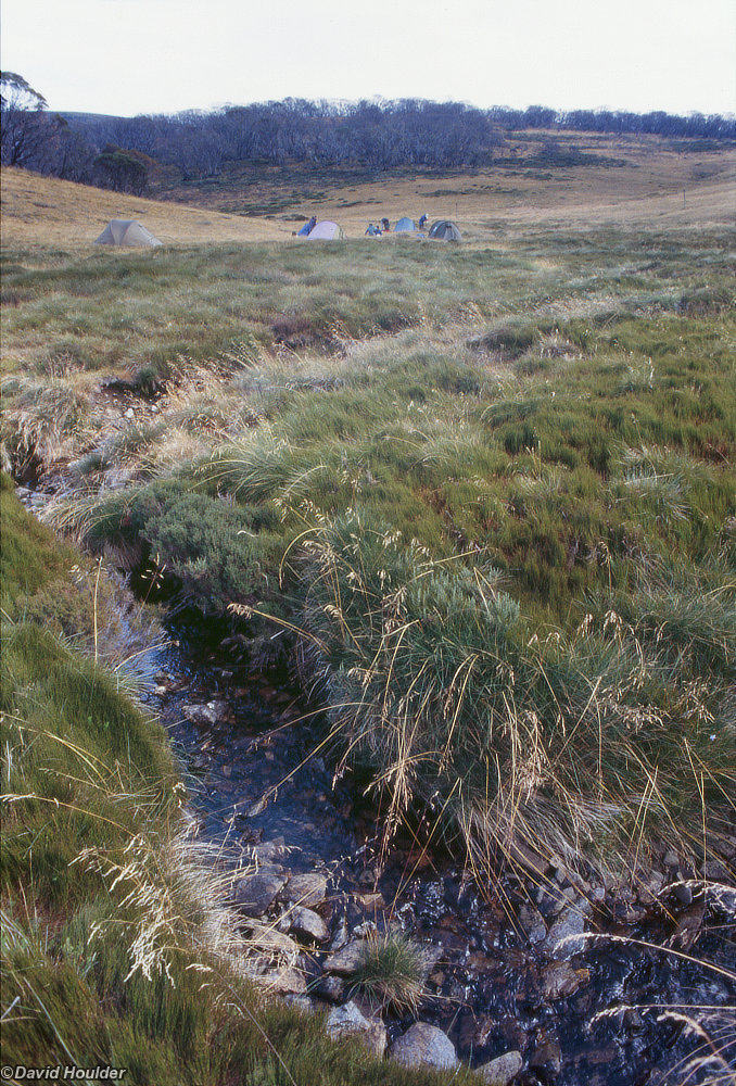
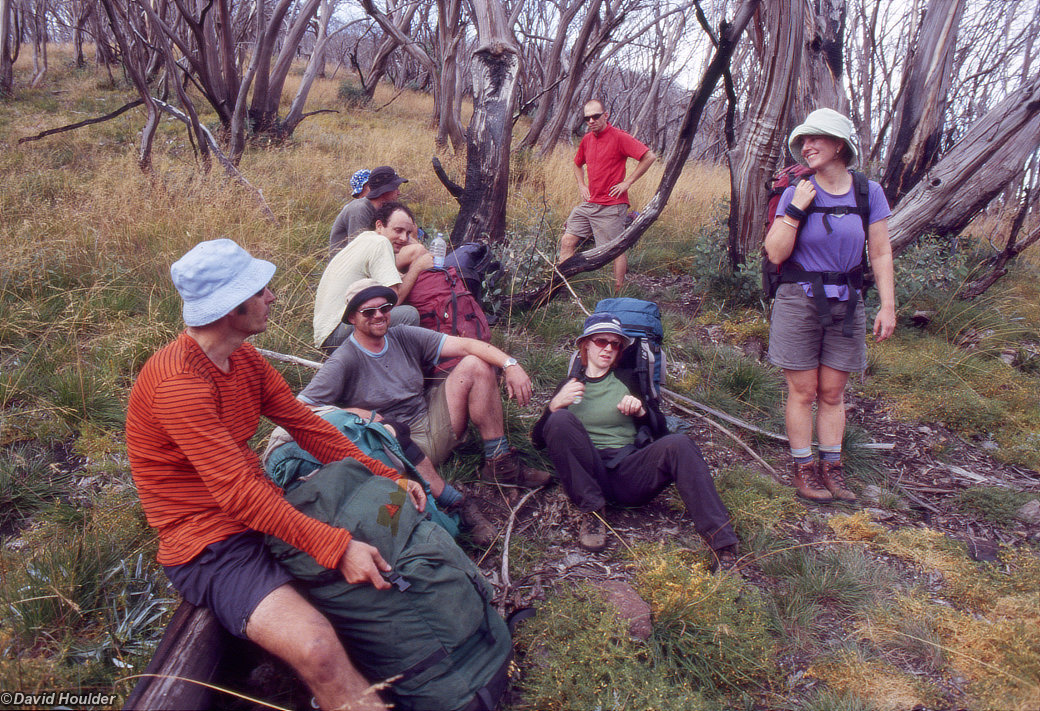
Many of the higher parts of the walk seem to have escaped the fires, including this great campsite on Camp Creek. a few kilometres south east of Mt Bogong.
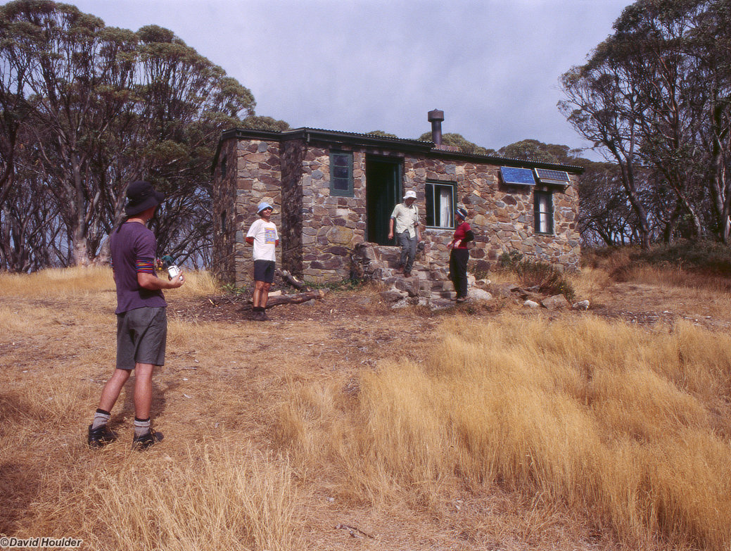
This is Cleve Cole Hut. a kilometre or so along from the 2nd campsite. It's luxuriously appointed, as far as huts go, including (it would seem) a solar powered lighting system, and a toilet block out the back. I'm not sure what the status of this hut is - contact Parks Victoria to find out. Even if it's an accommodation option, assume that it's full and plan to camp in the grounds around the hut.
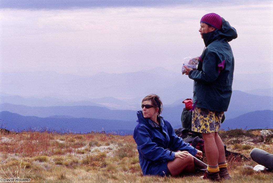
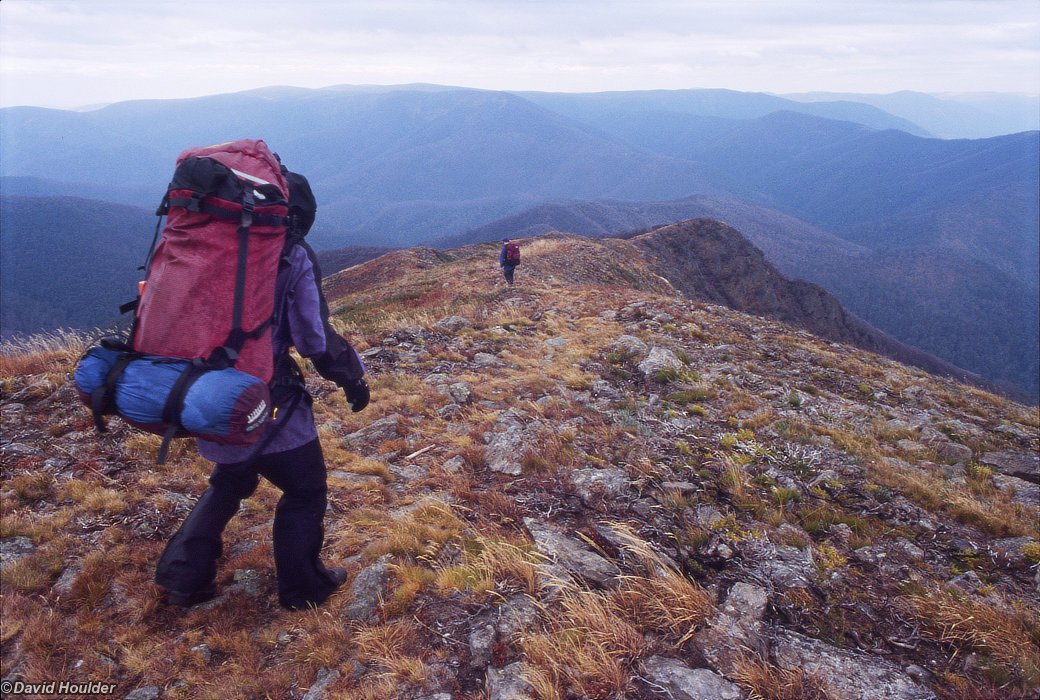
A snack break before final stroll to the top of Mt Bogong. We're above the treeline here, and it's starting to get a bit chilly.
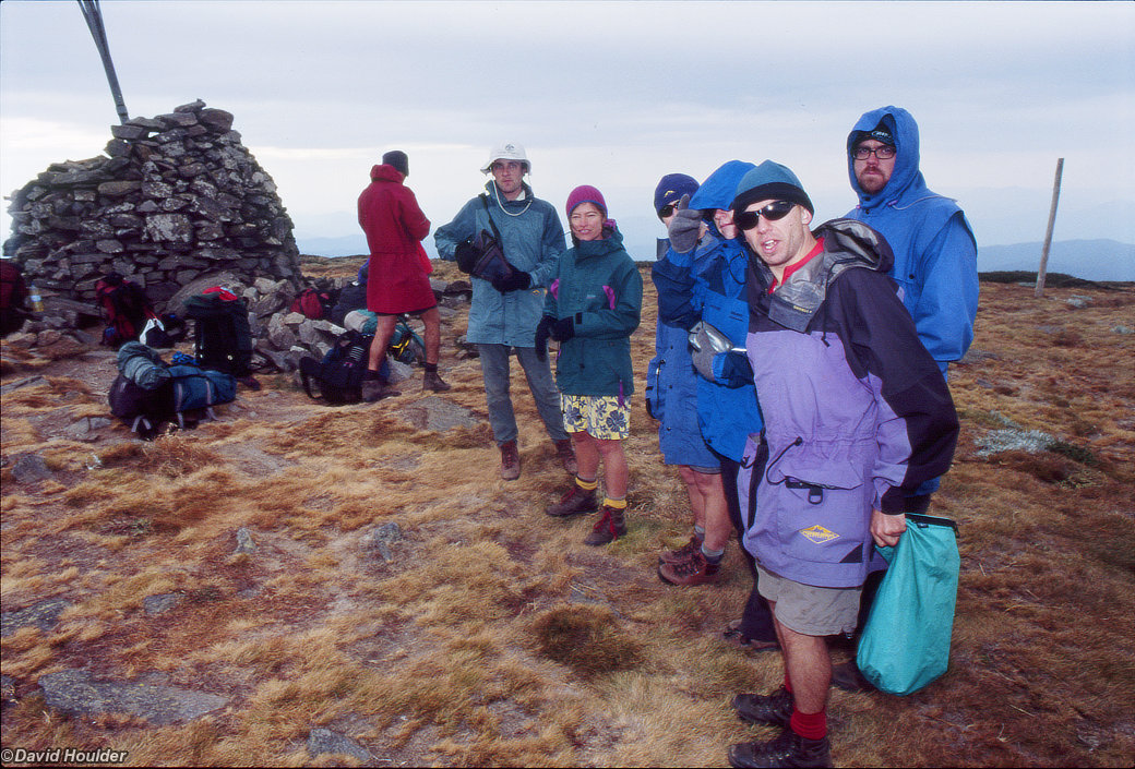
On top and pretty chilly. This time yesterday some of the party were having a dip in the river, but the altitude there was a kilometre less.
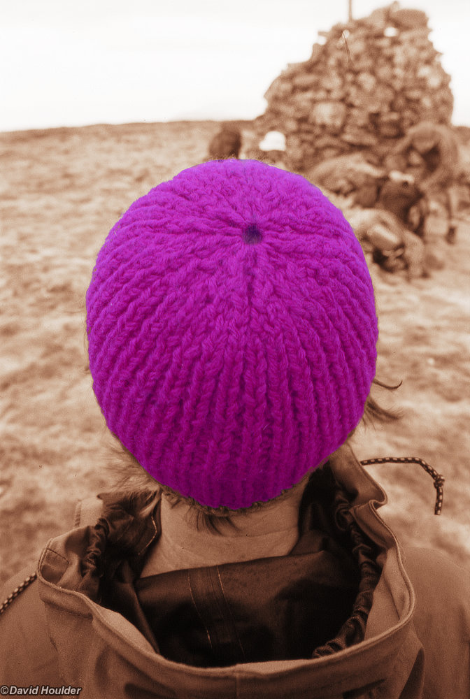
No, a magenta beanie (the kind you find in a second hand store).
"Thats one small step for man...". This is where we leave Mount Bogong and return to the warmer climes below.
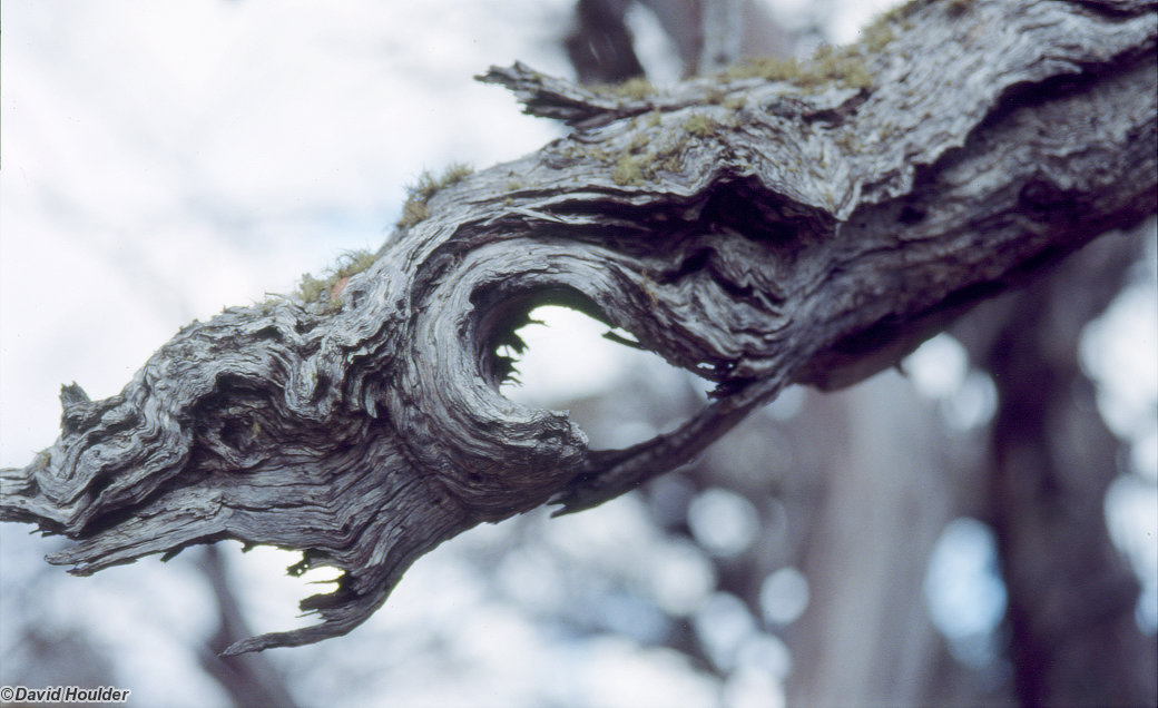
A branch of a snowgum, Eucalyptus Pauciflora, in a small grove of ancient trees halfway down the ridge that had escaped the recent fires. By the look of them I'd guess they must have escaped or survived several previous ones too - they're pretty much the most gnarled and battered snowgums I've ever seen.
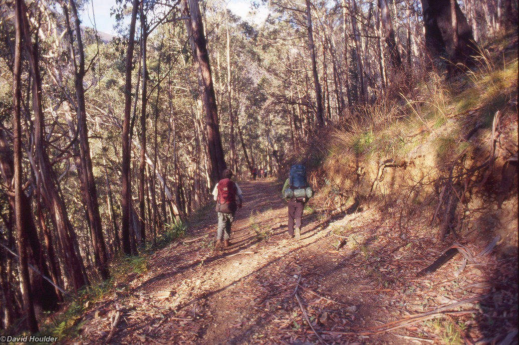
Heading towards the final campsite at Bogong Creek saddle. A lot warmer down here: it's pretty much rainforest by the time you get down to Bogong Creek.
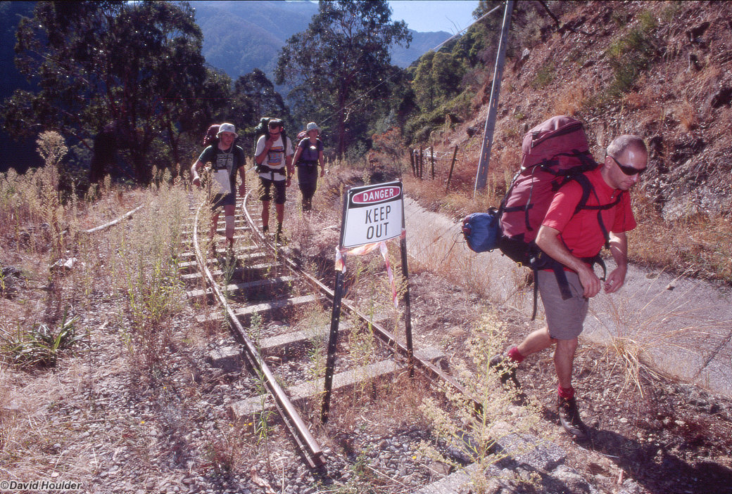
From Bogong Creek there are a number of options to get back to the bitumen. We chose a firetrail that became a tramway once we'd bypassed a slightly alarming landslip.