This is an easy two night, three day walk, starting and ending at Heathcote railway station. It's based on two walks I found here and here. See those pages and the relevant 1:25000 topographic maps for full details, but the basic idea is
- Day 1
- Head west from the Heathcote railway station
- Find the high-voltage powerline easement, and follow that south down the hill for a few hundred metres.
- Find the bush track that leaves the end of the easement track heading west. There's a rusty car body at the start. The track at this point is not particularly well defined.
- The bush track meets a much more well defined track at a T-junction after a hundred metres or so. Turn right.
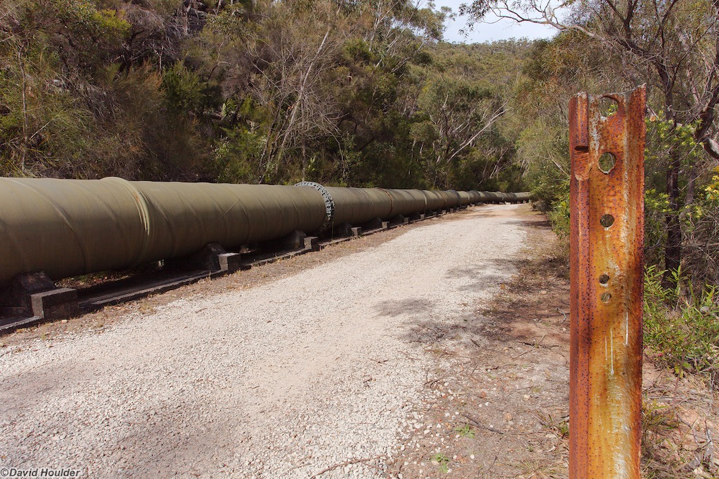
- Cross the pipeline, and follow the piepline service road south and west until you get to the causeway across Heathcote Creek.
- Cross the causeway and pick up the bush track that leaves the causeway a few metres up on the west bank.
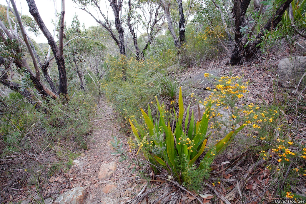
- Follow that along Heathcote Creek, ignoring the Goanna Track turnoff, until you get to the signposted junction with the Mooray Track and creek crossing at about 113219 on the Appin map.
- Cross the creek and head up to kingfisher Pool campsite.
- Day 2
- Follow the track up to Waterfall and head to the railway station
- At the back of the railway station carpark there's a sign indicating the start of the Uloola Falls track.
- Follow the Uloola Falls track past the oval and on to the Uloola Falls campground
- Day 3
- From the Uloola Falls campground, head towards Karloo Pool and then on to Heathcote to complete the loop.
This would be a good walk to introduce people to overnight bushwalking. Not only are the distances short and the tracks mostly well defined, but there's the option of bailing out at Waterfall railway station on day two if necessary.
You need to obtain camping permits from the NSW National Parks and Wildlife Service for the Uloola Falls and Kingfisher Pool campgrounds Although it's an easy, short walk, it happens to span the corners of four maps. You'll need the following 1:25000 topographic maps
- Campbelltown 9029-1N
- Appin 9029-1S
- Otford 9129-4S
- Port Hacking 9129-4N
I strongly recommend that you take the maps and a compass and know how to use them. Through pure inattention I walked right past the Mooray Track turnoff to Waterfall at 113219. While the continuation of Bullawarring Track (marked in orange on the map above) is initially well defined, it peters out after a kilometre or so, and it wasn't until I pulled out the map and compass that I figured out where I was.