Note: indicated routes are approximate. Use official topographic maps
for navigation.
Wilsons Promontory
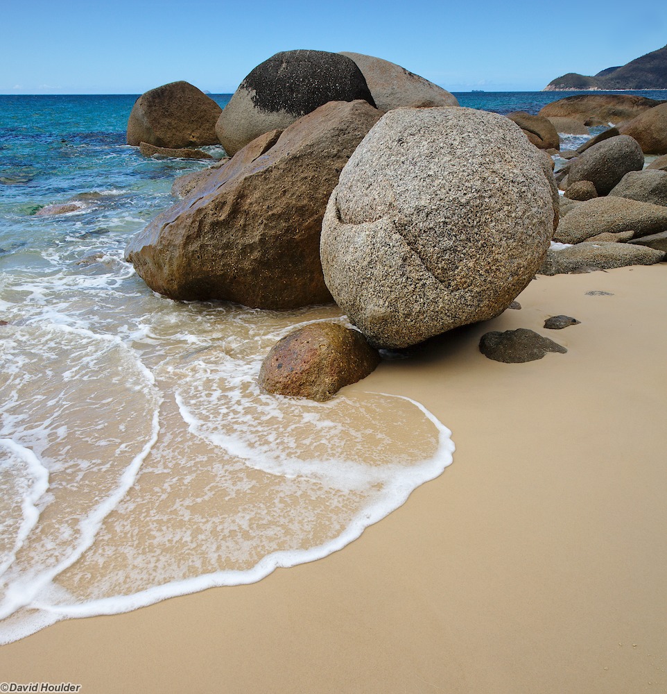
This is a four day walk around Wilsons Promontory National Park, the southern-most part of the Australian mainland. It's got a bit of everything - rainforest, heathland, Eucalypt forest, beach walking, ocean views, sheltered bays and a windswept western coast.
See the official park website for current conditions and more information. It's a fairly popular walk, so you need to book the campsites. When we did the walk (December 2016), there was no public vehicle access to Telegraph Saddle, but there were shuttle buses running between there and Tidal River.
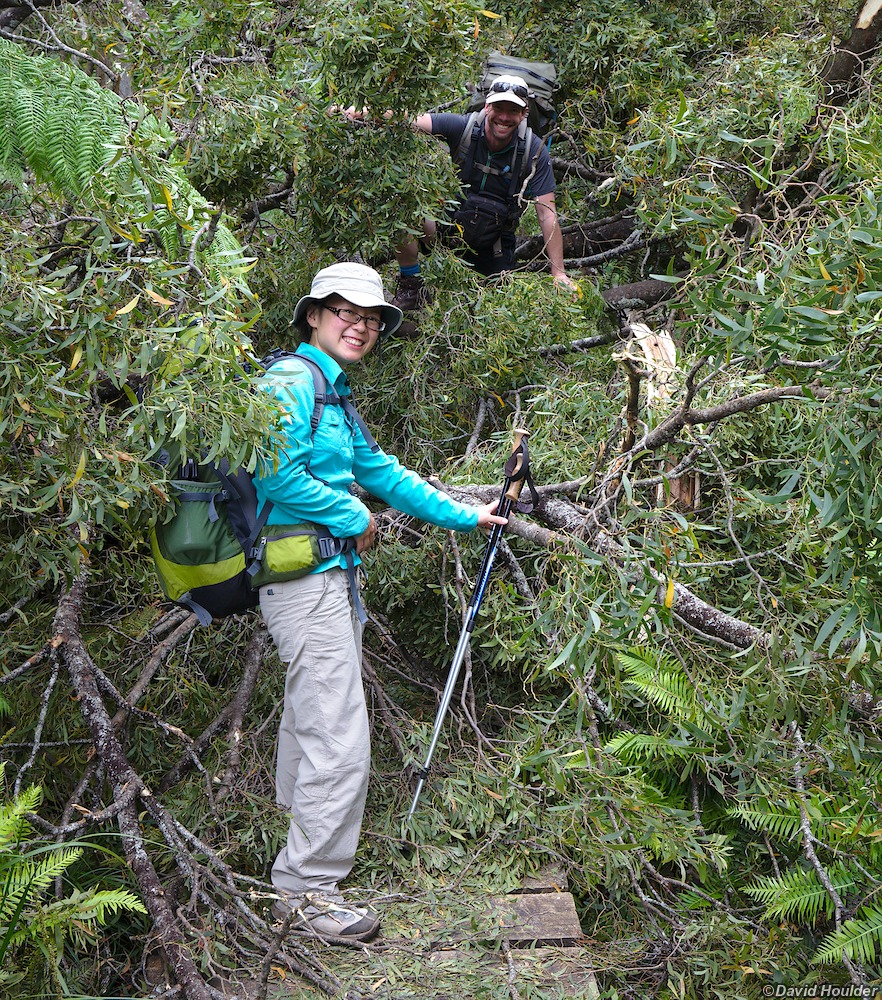
On the track from Telegraph Saddle to Sealers Cove. There's a lot of boardwalk
along the lower part of the track, which makes walking pretty easy - until this
happens.
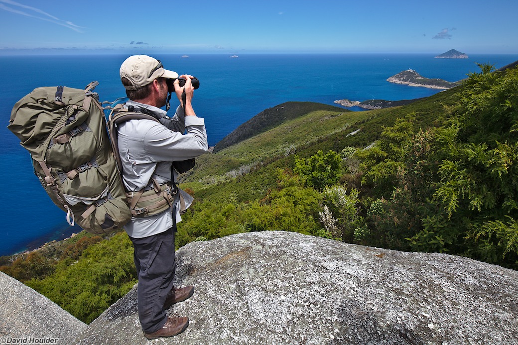
Glen looking south to the lighthouse
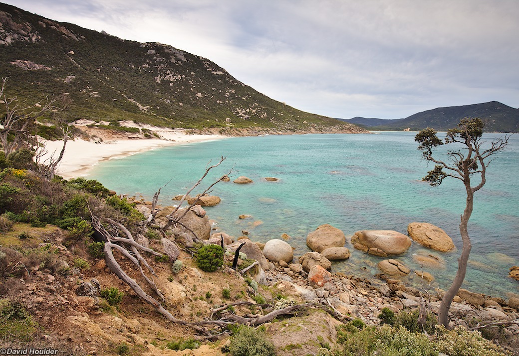
Caroline admiring the vegetation at Oberon Bay
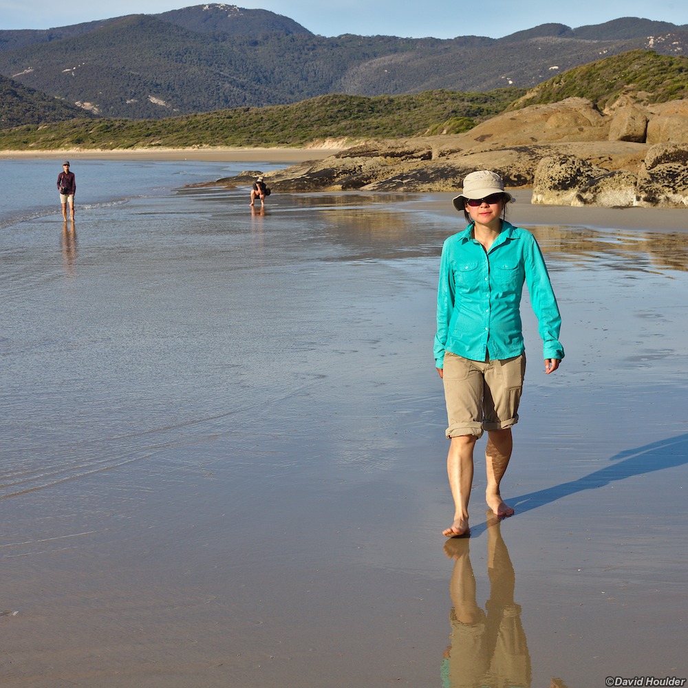
Walking on the beach at Oberon Bay

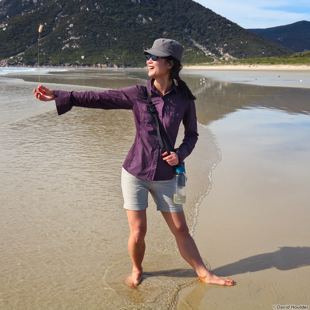
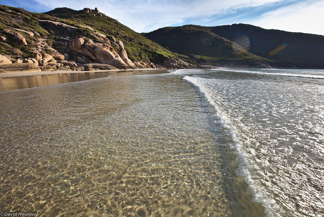
Low tide at Oberon Bay
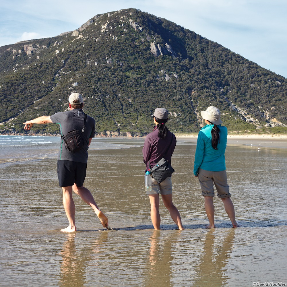
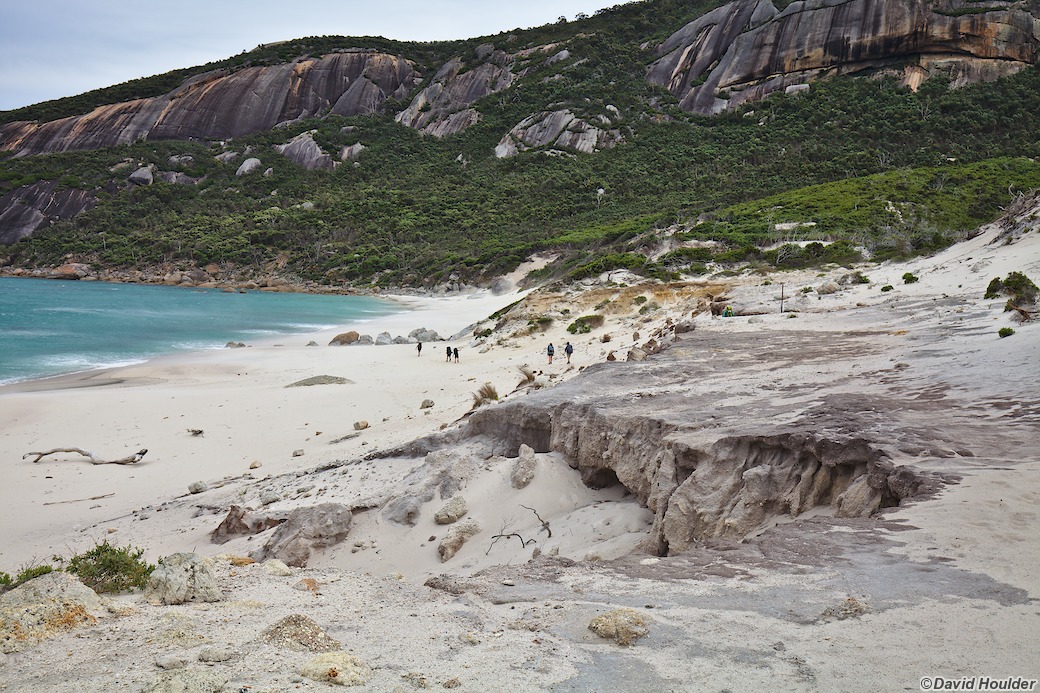
The south end of Oberon Bay
On the last day the wind was ferocious. We're at 39° south here - within a
stone's throw of the legendary Roaring Forties.
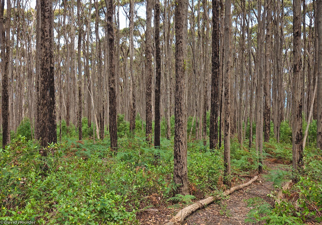
About an hour from the end of the walk.