Updated: Sep 2010
Published: Aug 2010

Eastern half, 2010

Leaving Ellery Creek

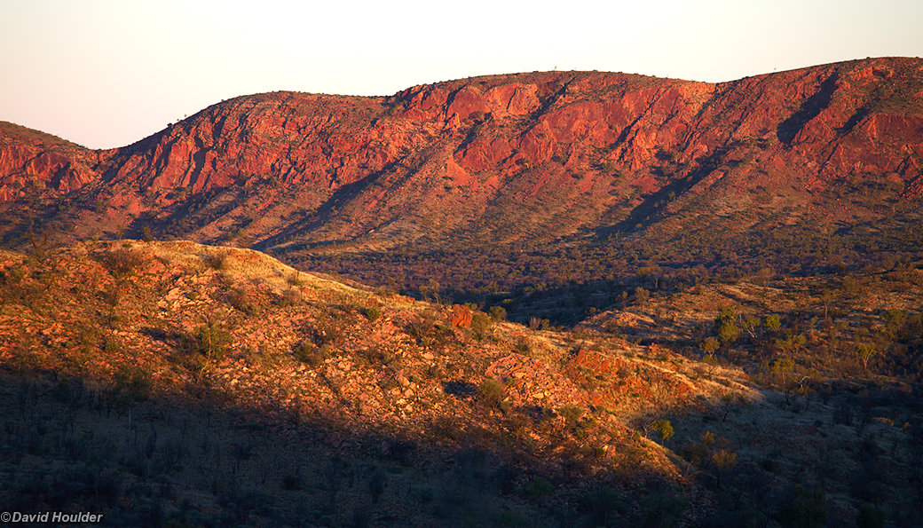
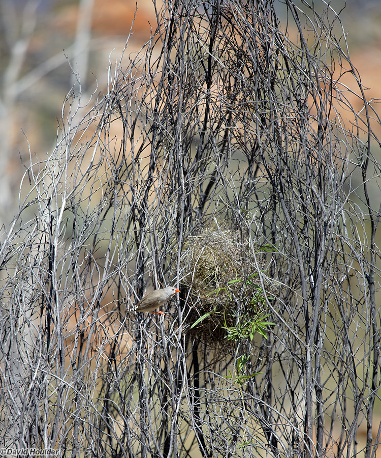
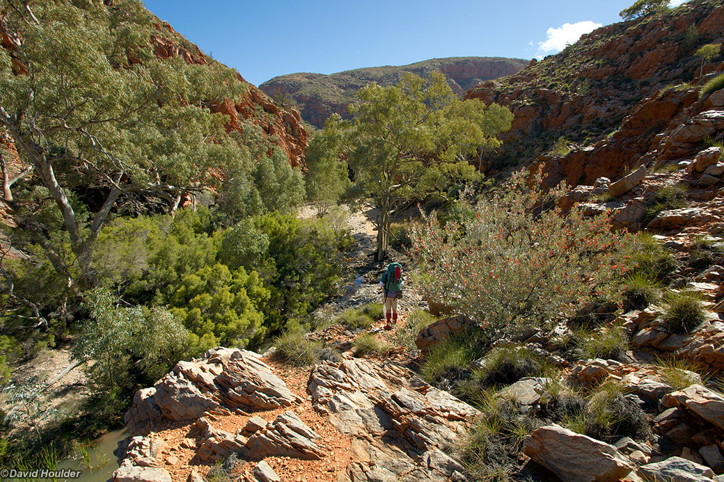
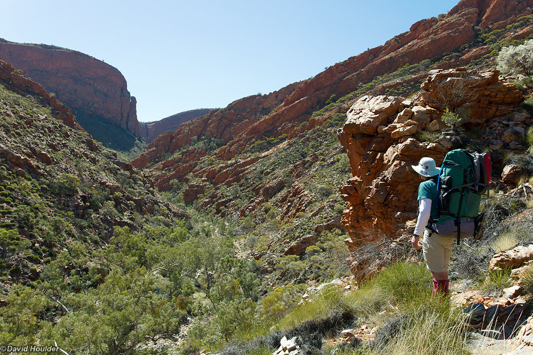
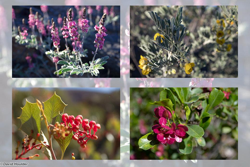
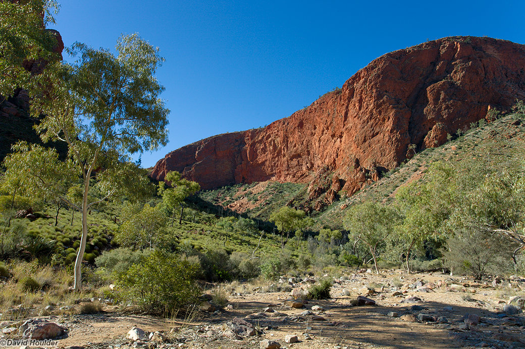
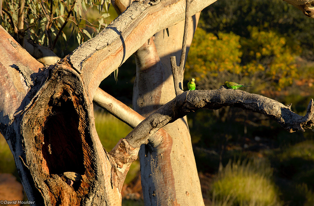
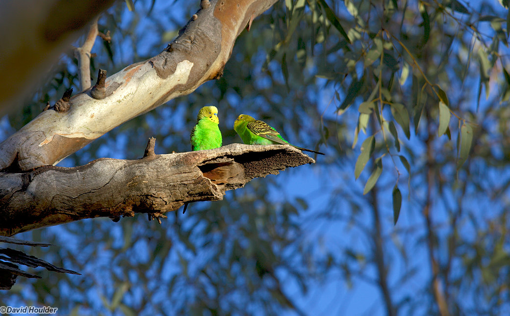
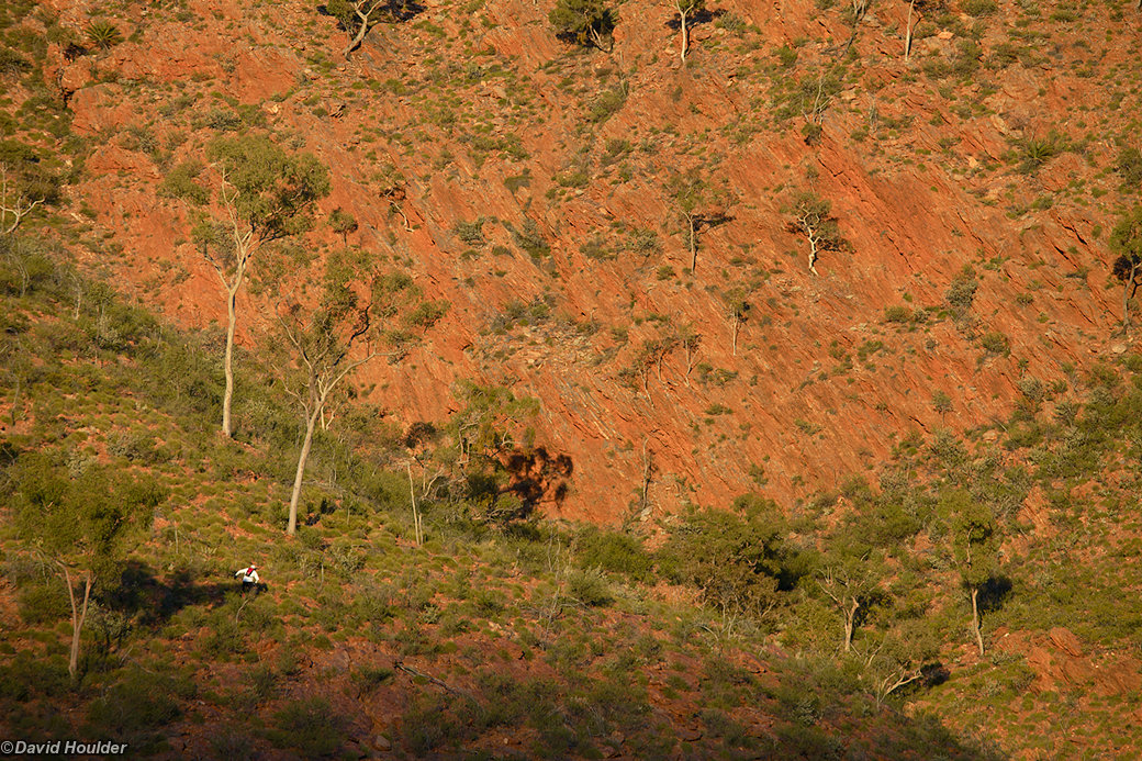
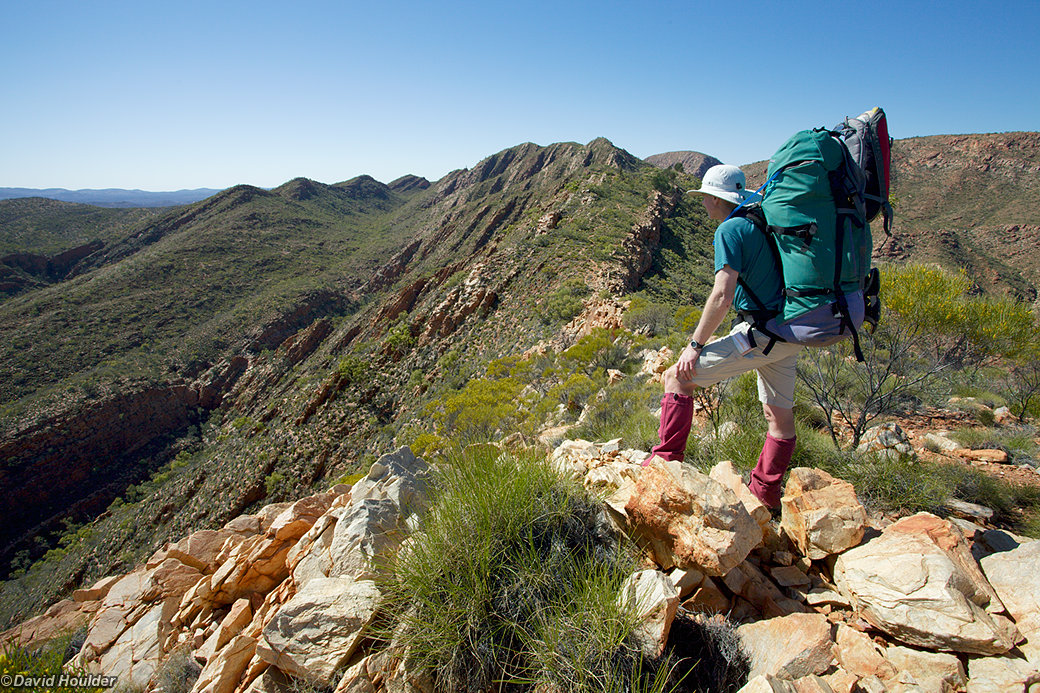
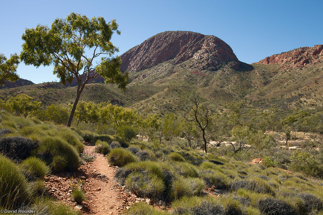
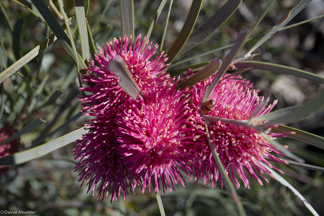
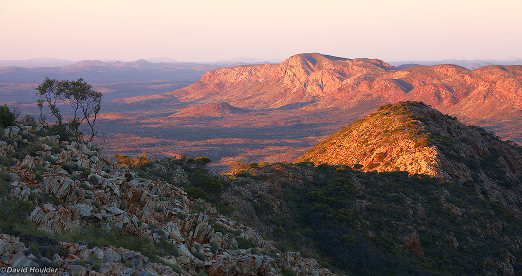
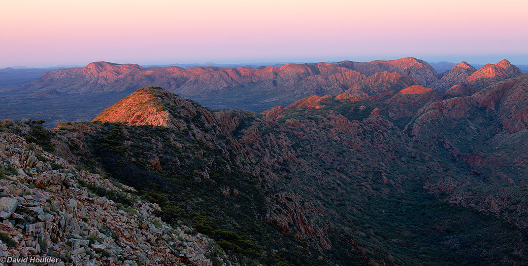
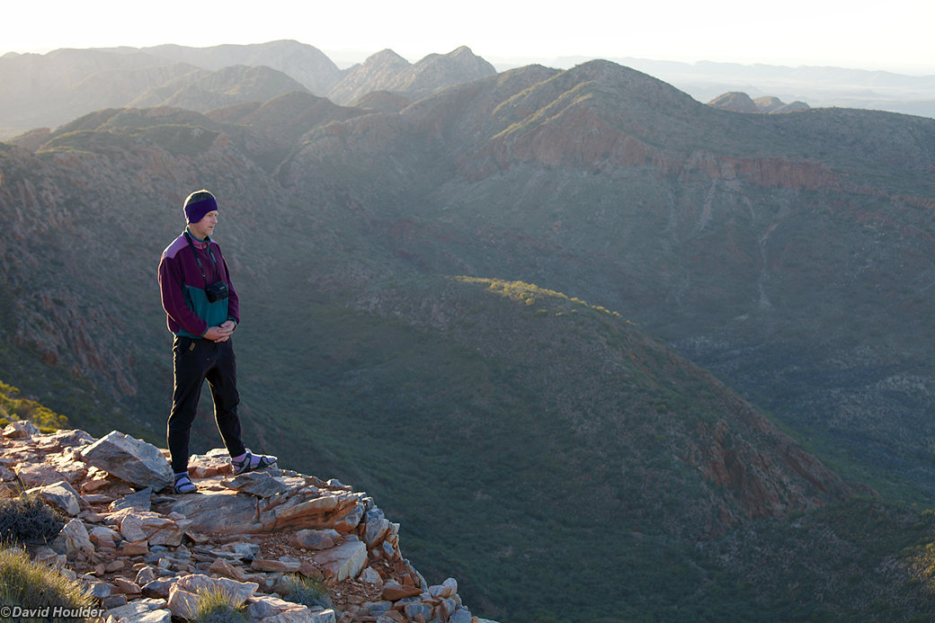
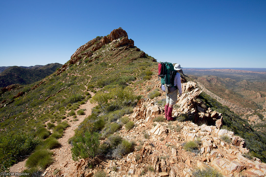
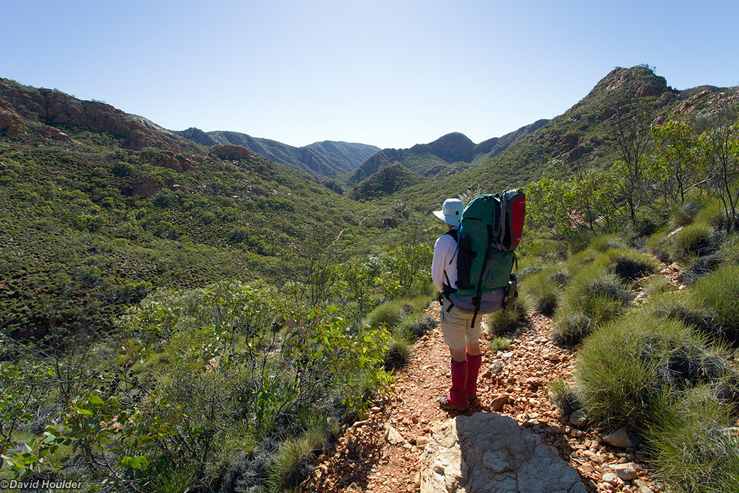
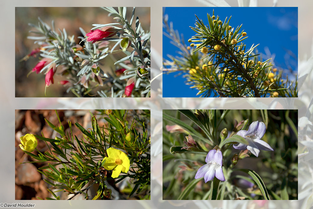
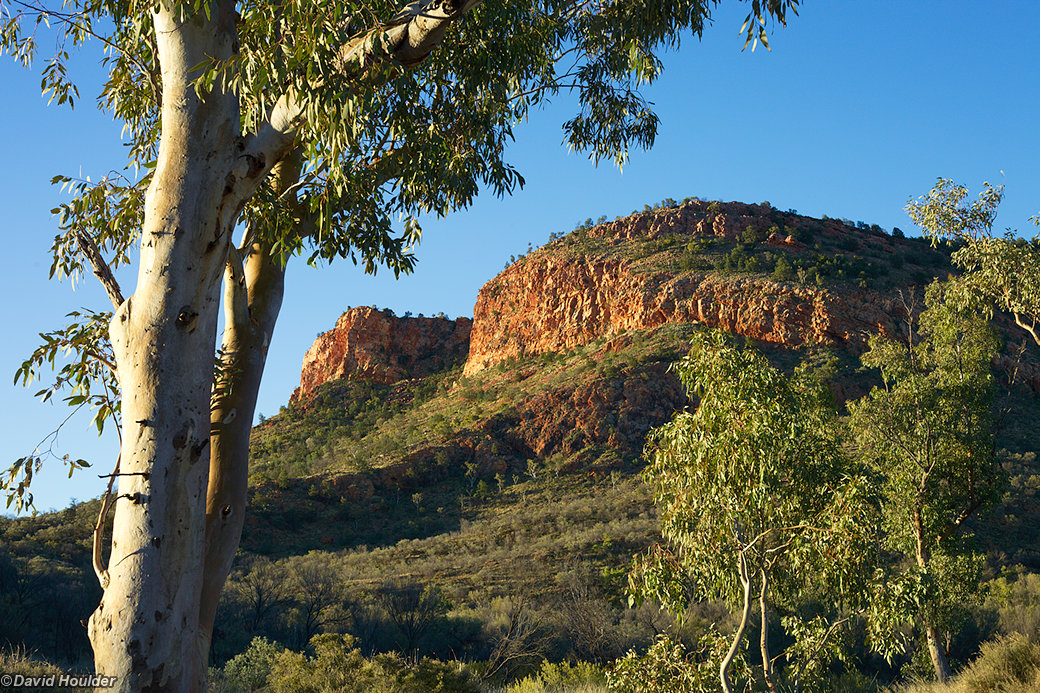
In August 2010 David Singleton (pictured in many of the following photos) and I walked the eastern half from Ellery Creek to Alice Springs. The region had seen abnormally high rainfall in the preceding months which made for an abundance of bird life and flowering plants.

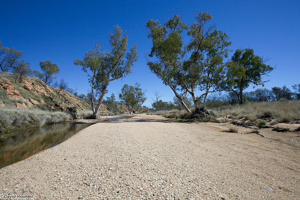
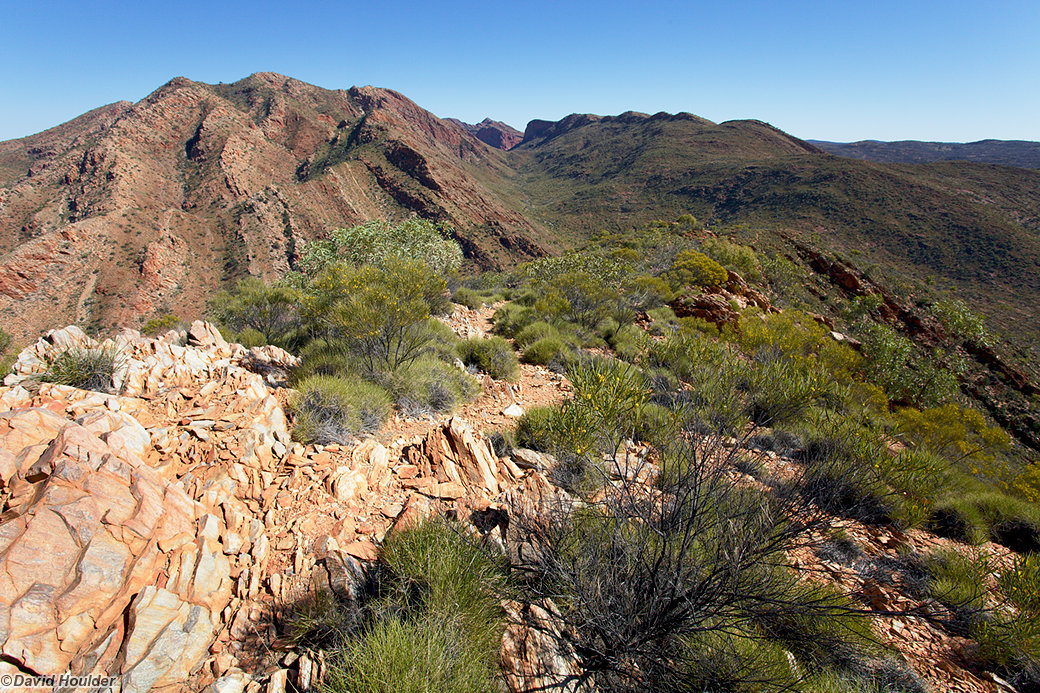
This image is from the morning of day one, just a few hundred metres from the Ellery Creek carpark. We paid one of the tourism operators in Alice Springs to get us here and drop off our food-drop at Standley Chasm.

A few points to note:

  • By walking from west to east you avoid having to organise transport for the end of the walk, as you walk right back into Alice Springs. However...
  • The last day of the trip is the least interesting, and I don't think you'd miss much by stopping at Simpson's Gap.
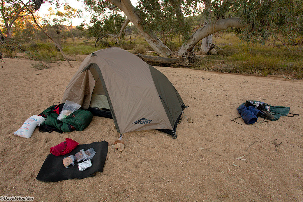
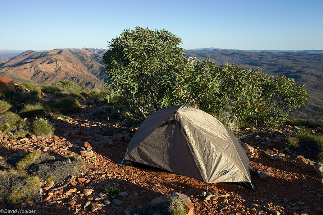
  • Standley Chasm has a kiosk and (in 2010 at least) you can put in a food drop there for a few dollars. The campground there was small, sloped and close to the diesel-powered generator, so we decided to camp a little further along the track.
Leaving Ellery Creek

That green grass is Spinifex. It looks quite like your average tufts of grass in this photo, but it's reallyspiky. Wear gaiters if you have them.

Day 1 - heading across the plain

Navigation is generally easy - the track is mostly well-defined and is dotted with track markers in the form of little signposts sporting blue arrows. The map is handy for identifying features though, and for getting yourself out of trouble should you stray off the track.

Lunch, day 1

There are lots of sandy or pebbly creek-beds that make great campsites - assuming the risk of rain is negligible. You'll often see debris at head-height or higher in the trees in these creek-beds, so you wouldn't want to be there if it's about to rain.

Wildflower beside the track
This image also appears in Nature
Sunset at Rocky Gully

A view from a spot just above the first campsite at Rocky Gully.

Drying tent fly

It gets pretty cold at night, so even with a well-ventilated tent you end up with a lot of condensation on the outer skin of the tent. On most mornings we had the ritual of hanging the tent flies up to dry off most of the moisture.

Zebra Finch and nest

There were lots of breeding Zebra Finches along the track.

Hugh Gorge

Morning of day three.

Avoiding the flooded bit of Hugh Gorge

The main track in the gorge at this point was under water, due to all the recent rain. While it was probably possible to wade or swim through, we figured it was probably quicker and less hassle to bypass the flooded section by scrambling further up the slope. We were probably wrong, but we got some good views.

Everything's flowering

Just a sample of the flowering plants encountered so far.

Acacia in flower in Hugh Gorge
This image also appears in Nature
Hugh Gorge Junction

At this point the track heads off to the right, over Rocky Saddle and down to the campsite at Fringe Lilly Creek. We dropped our packs here and walked the extra kilometre or so to check out the top of Hugh Gorge before rejoining the track.

Top of Hugh Gorge
Hugh Gorge cliffs
View from Rocky Saddle

Looking back to Hugh Gorge

Budgies at Fringe Lilly Creek

Every tree hollow in every watercourse in the West MacDonnells seemed to be home to breeding Budgerigars. Here's the tree above our campsite at the end of day three.

More Budgies at Fringe Lilly Creek

Morning of day four at the campsite.

View from Fringe Lilly Creek campsite

Just after sunrise on day four. The white figure is David S. heading off for a run.

On Razorback Ridge
On Razorback Ridge
Looking north from Razorback Ridge
Birthday Waterhole campsite
Approaching Brinkley Bluff

Day five - a big ascent ahead. The campsite is on top of that bluff at 1209 metres.

Flowering Hakea on Brinkley Bluff
Stuart's Pass from Brinkley Bluff
Looking south-west from Brinkley Bluff
Late afternoon on Brinkley Bluff
Last rays from Brinkley Bluff
Morning, day six

The view from Brinkley Bluff

Brinkley Bluff campsite

I've had worse.

Heading down to Standley Chasm
Day seven - Gastrolobium Saddle
Fish Hole
Flowering shrubs

A few more of the flowering plants encountered since Brinkley Bluff.

Tree trunks in the creek bed

Trees at the day eight campsite near Arenge Bluff.

Bark patterns

Closeup of a tree trunk in the creek bed

Arenge Bluff from campsite
Icy morning

The overnight temperature dropped below freezing on a couple of nights. This actually made drying the tents a bit easier - you could shake most of the ice off.