Updated: Apr 2012
Published: Mar 2012

Great Ocean Walk

View Great Ocean Walk in a larger map

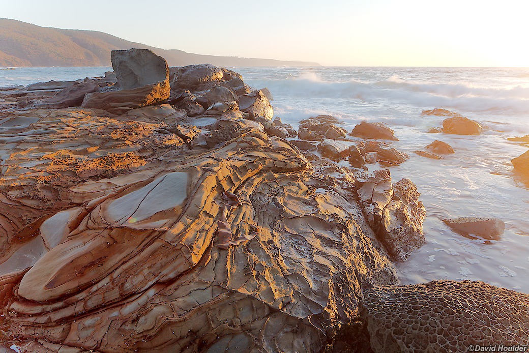
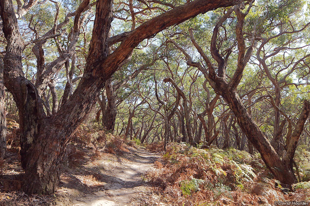
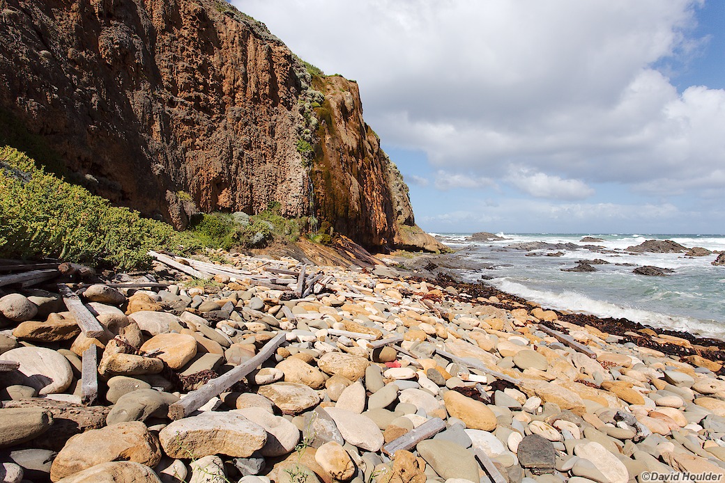
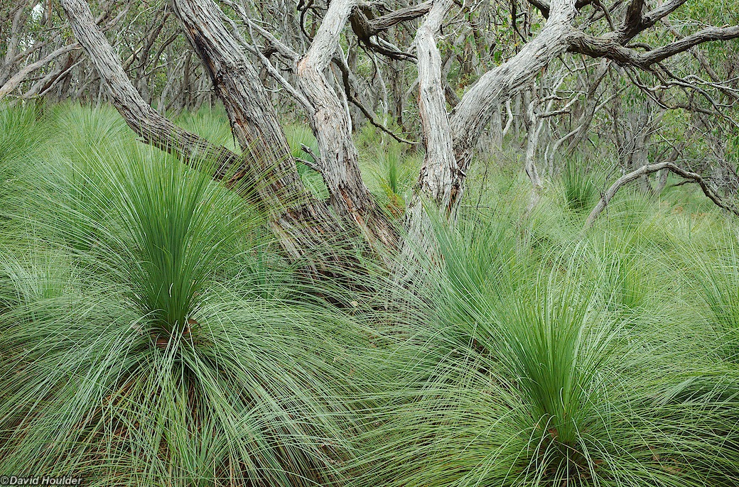
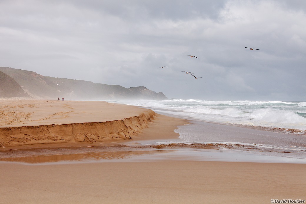
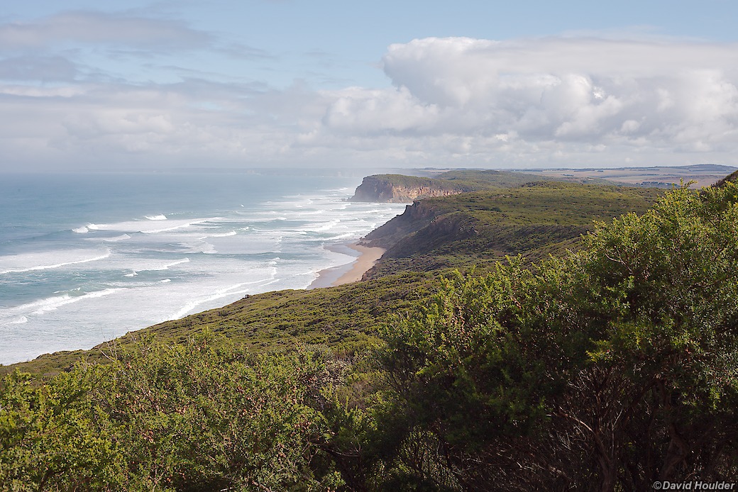
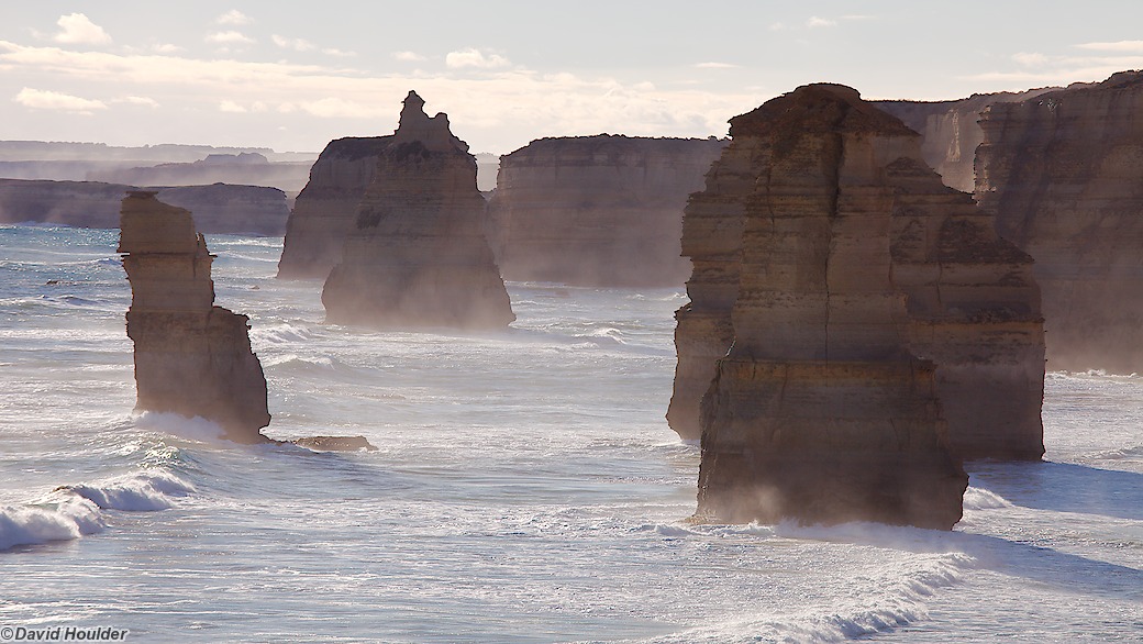
The Great Ocean Walk starts in Apollo Bay on the south coast of Victoria (Australia), and ends at The Twelve Apostles, roughly 13km shy of Port Campbell about 100km further west. It's designed as an eight day walk, with the longest day being about 15km.

You can buy a special GOW annotated walk map from Parks Victoria, which is the only map you need to do the walk. In order to avoid carrying eight days worth of food, I posted a food drop to Bimbi Park, a caravan park on Manna Gum Drive, just near Cape Otway. Bimbi Park has some good walk notes too - see their website.

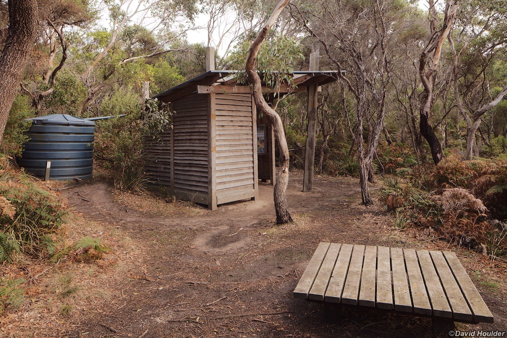
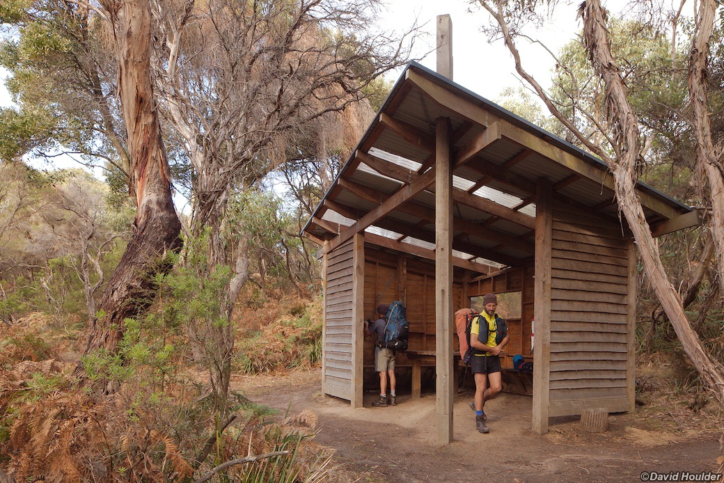
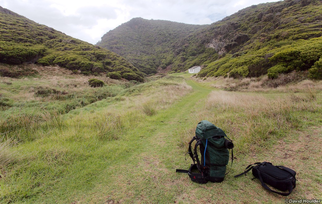
The walk is fairly popular, so in order to prevent the area from being trashed, you have to camp at the designated campsites, which you need to book in advance. For full details see the official website. Parks Victoria have built shelters, composting toilets, rainwater tanks and coffee tables (I'm sure that's what they were described as on the design brief - see below) at each campsite, as well as preparing a bunch of levelled tent sites. I think they've done a pretty good job.

Devil's Kitchen campsite

A lot of the walk is inside Great Otway National Park, but bits of it traverse farmland and residential areas.

Arriving at the Twelve Apostles after a week in the bush is a bit of a culture shock - it's a major tourist attraction, buzzing with planes, helicopters and thousands of tourists. It also presents the main logistical hassle of the whole walk. There's a bus service to the start of the walk at Apollo Bay, but no suitable public transport at the end of the walk. In 2012, the only regular bus service calls in during the morning, and only on some days. Mobile phone coverage was basically non-existent, at least on the Optus network, and the only fixed-line phone at the visitors' centre was in the helicopter booking office. The helicopter folks were kind enough to let me use their phone to ring the Timboon Taxi, which will take you to Port Campbell for $50. That's a bit steep, but understandable. I booked the taxi in advance, and confirmed the pickup on the day.

Kelp on the beach

The first few kilometres of day one are actually a bit suburban. The walk starts right in the middle of Apollo Bay, and basically involves walking on a footpath to Marengo at the end of the next beach south. From there the Great Ocean Walk signs direct you to walk right through the caravan park, and only then does it feel like it's going somewhere interesting. If you're after a navigational challenge, this is not the walk for you - the track is almost always pretty obvious, and just about every junction has a GOW sign indicating the way.

From Merengo the track heads out through cleared farmland or along the beaches (take your pick), until it hits the Great Otway National Park boundary towards the end of the day. It's a pleasant enough walk, but not exactly wilderness until you get to the campsite. This kelp washed up on the beach caught my eye though.

Elliot River
The track finally gets into something resembling wilderness towards the end of day one. The first campsite is in the forest a few hundred metres up a ridge from this spot, the mouth of the Elliot River. Although it's called a river, it's really just a creek - hardly enough to wet your boots.
Night sky at Elliot Ridge
As luck would have it, there was a new moon right in the middle of the walk. The first night was mostly clear, so I got a good view of the stars through the forest canopy at the Elliot Ridge campsite. There's one problem with doing this walk during a new moon though - it makes the high tides higher, which can make some of the beach walking especially risky if your timing is wrong. It also makes the low tides lower, so it can work in your favour too. A full moon also exacerbates the high and low tides.
Dried kelp ikebana
Artfully arranged by Mother Nature
This image also appears in Nature
On the track to Blanket Bay
Day two is an inland forest walk to Blanket Bay, mostly on firetrails or old 4WD tracks. It's a really nice bit of the walk - the track winds through a few different types of forest along the way.
Eroded rocks on a rock shelf by the sea

I've been thinking lately that I should try to do more black-and-white photography. When I look at other people's work, it's almost always the black-and-white stuff that I find most engaging. The trouble is, with a digital camera in hand, it's all too easy to forget to put your "black-and-white eyes" on, so there's a tendency to shoot everything with the intent of retaining the colour.

As I was setting up for this shot, it occurred to me that the experience was quite reminiscent of working with my large-format Tachihara field camera, on which I've shot almost exclusively black-and-white film: I had a camera on a tripod, I was using a wide angle lens with tilt and shift movements (which are de rigueur for large-format), exposing manually, and focusing manually while looking at a magnified view on the live-view screen on my DSLR camera.

At the time I wasn't sure whether it would end up being a colour or a black-and-white shot, When I got home and started processing the camera raw file, I left it as colour, but a few days later I started experimenting with a black-and-white version. In the end I much preferred the black-and-white version.

Morning at Blanket Bay
Leaving Blanket Bay

Leaving Blanket Bay on day three, the track follows the coastline pretty closely until it gets close to the Cape Otway lighthouse. The country is not as damp as that on day two, and the vegetation is dominated by these smaller eucalypts and coastal heath.

The designated campsite for this leg of the walk is a few hundred metres past the lighthouse, but my plan was to stay at Bimbi Park, a nearby caravan park. Before leaving home, I posted food for the remainder of the walk to Bimbi Park, which allowed me to have an extra day at Cape Otway and meant that I never had to carry more than five days worth of food.

Parker Inlet
Like the Elliot River, the Parker River is another creek with delusions of grandeur. It makes a nice spot for lunch on day three though.
Ripples at Parker Inlet
Rainbow Falls

On day four (actually day five if you count my lazy day at Cape Otway), there's an optional 1km side trip along Station Beach to Raindow Falls. The falls are fed by a spring from above the limestone cliff face. The dripping water has built formations similar to those seen in limestone caves.

The base of the falls is right at the high-tide mark, so it's best to plan your walk to be here at low tide. I turned up at high tide of course.

Aire River
Finally - a river that is genuinely river-sized.
Aire River Bridge
The day four caampsite is just beyond the other end of this charming wooden bridge over the Aire River.
Looking back to Aire River
On the track to Johanna Beach on day five.
Castle Cove
Xanthorrhoeas

There are a couple of spots along the walk where the understory consists almost entirely of Xanthorrhoeas, commonly known as grass trees. Unfortunately, some of these areas are also infected with Phytophthora cinnamomi, which kills them. There are boot-washing stations at several points along the track to try and help control the spread of the disease.

Johanna Beach
Johanna Beach forms part of the track late on day five. There's about 2km of very pleasant beach walking, including a traverse of the mighty Johanna River, seen here in the foreground.
Looking out to sea from Johanna Beach
Milanesia Creek

A secluded fishing shack at Milanesia Creek on day six.

Most of the walk up to this point on day six is along gravel roads through farmland and rural residential blocks. It's definitely easy walking, and the countryside is quite pleasant, but you're not bushwalking by any stretch of the imagination. The scenery improves in the last kilometre or so before this Milanesia Creek crossing, as the walk down to the water is though a private wilderness reserve.

The creek crossing itself can be a bit tricky at high tide, and due to my impeccable timing I arrived just after a high king tide. Even after waiting for an hour or so I was lucky to escape without drenched boots.

Rough seas on day seven
Looking towards Point Ronald and Rivernook
Day eight saw a return to sunny weather and a walk through some nice coastal heath in the morning.
Scary Tree
Did I mention that parts of this walk are though areas that you wouldn't exactly classify as wilderness? On day eight the track goes past the Princetown Recreation Reserve, where you can see this large, brutally pruned pine tree.
Twelve Apostles
The walk ends at a spot known as Gibson Steps, where you can walk down to the ocean and poke around. There's a carpark there, but the actual Twelve Apostles visitors' centre is about 800m further west along the shoulder of the Great Ocean Road - and it's a culture shock. If the weather's good, it will be buzzing with cars, buses, tourists, helicopters and light aircraft.