
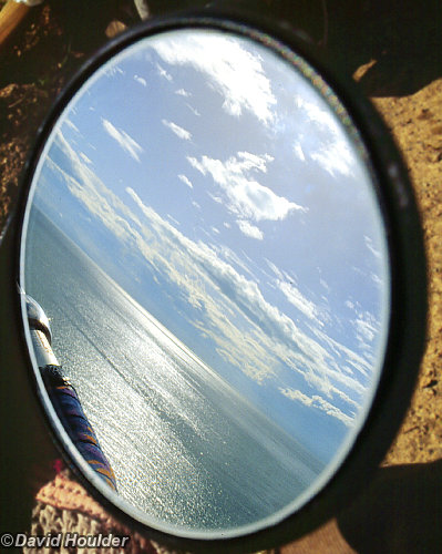
Yes, I was riding the bike when I took this photo. and no, I wasn't looking through the viewfinder. I put the camera on a stubby little tripod I was carrying, preset the focus and exposure, and set the self timer. It was then just a matter of starting the timer, holding the camera out to the side by the folded-up tripod and getting up enough speed to get a good amount of motion blur in the foreground. There's a good deal of serendipity in the composition - the self-timer chose the decisive moment here.
Miscellaneous
The Corromandel peninsula is the thumb sticking up from the eastern side of the North Island of New Zealand. This is the one of the views you get when you're riding up the west side of the peninsula. I'm told that you can now do a loop of the whole peninsula by bike, but when Giff and I did this ride in 1993 you had to get a bloke with a tin boat to take the bikes around the northern tip because the walking track wasn't ridable.
Namadgi National Park 🔗

Pryor's Hut is just off the fire trail that runs from Mt Ginini down to the Cotter River in Namadgi National Park. The hut itself is right on the ACT/NSW border, the view from the toilet is sublime, and the trail from there is pretty much all downhill to the Cotter about 15-20km away.

A quaint old bridge that used to cross the Cotter upstream of Corin Dam. It's gone now, but there's a usable but not so attractive ford a little way downstream.

Orroral Valley is the next valley east of the Cotter. Its a naturally treeless frost hollow where the heavy soil and the cold air draining from the surrounding hills creates an environment that most trees can't tolerate. The dominant vegetation in frost hollows is usually a thick blanket of lumpy tussock grass that makes for very slow going by bike, but there's a fairly good track through Orroral.