Updated: Sep 2014
Published: Aug 2014

Outback New South Wales

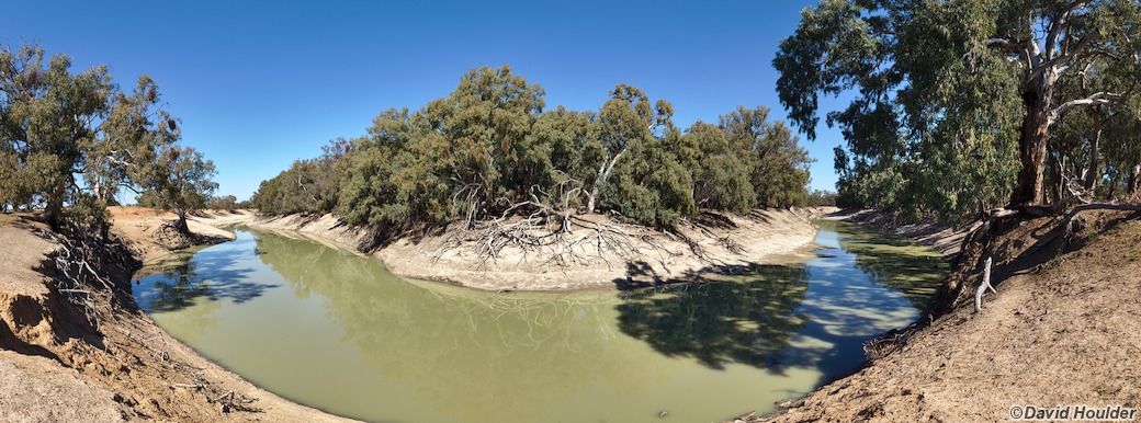
This is a road trip visiting three of the more well-known national parks in far western New South Wales: Mutawintji (formerly Mootwingee), Kinchega and Mungo. The only large town in the area is Broken Hill, and you can count the other settlements on the fingers of one hand. Using both hands you can almost count their combined populations too. Parts of the route follow the meandering Darling River, which offers great camping opportunities - camping at Coach and Horses campground was worth it for the dawn chorus of butcherbirds alone.

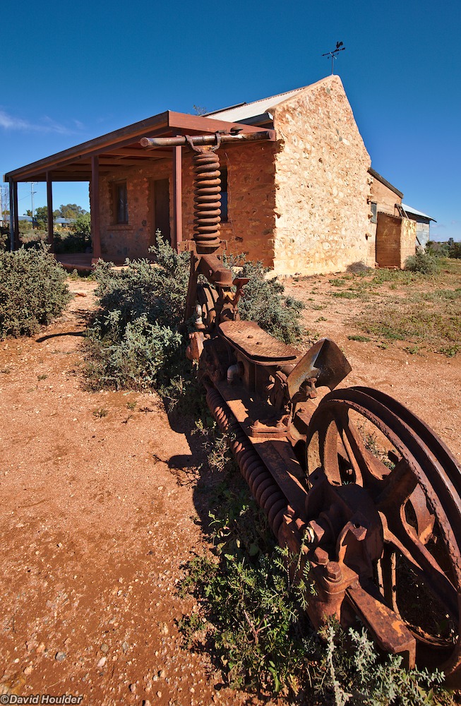
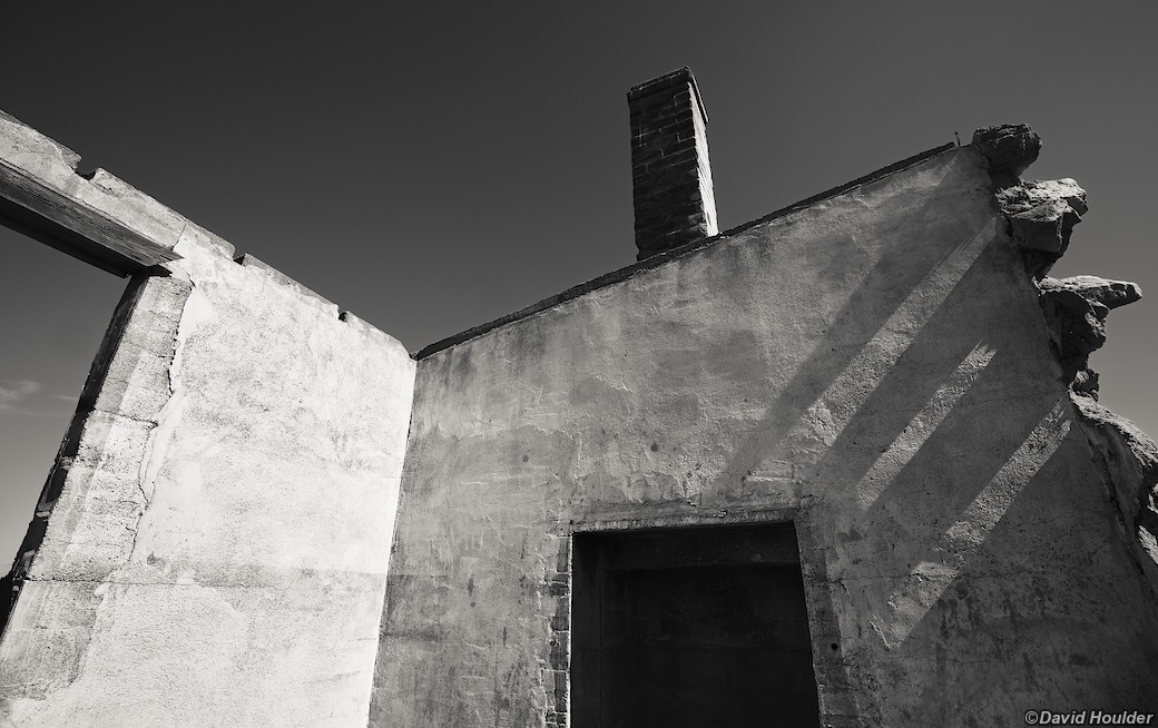
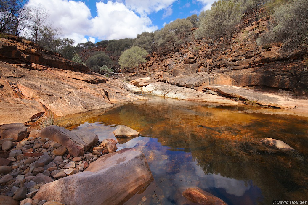
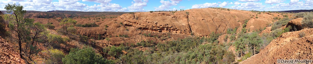
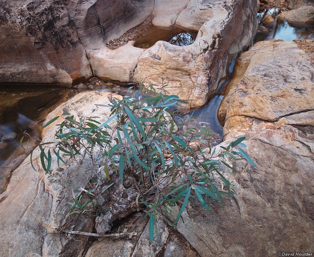
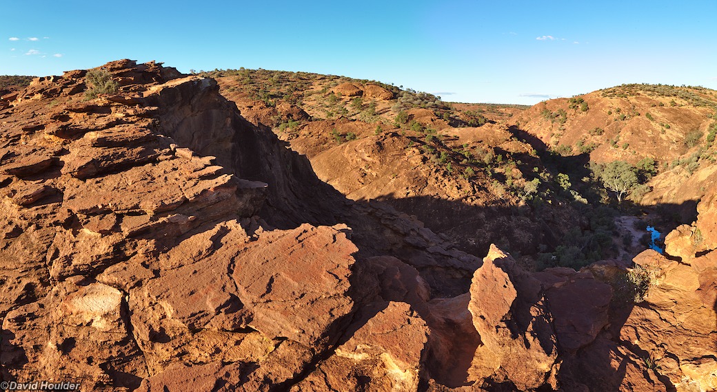
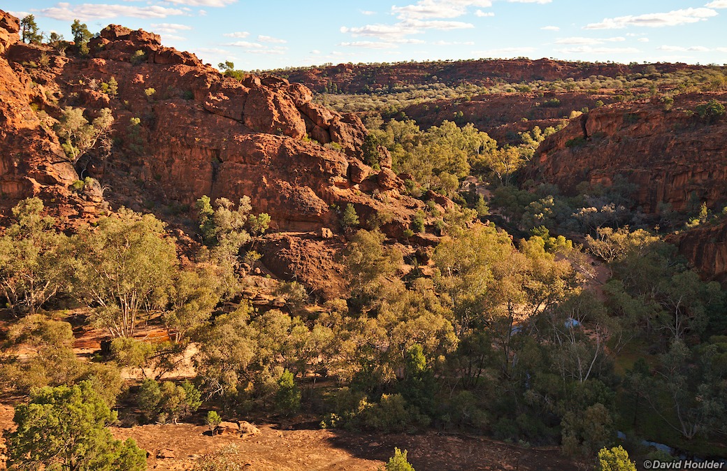
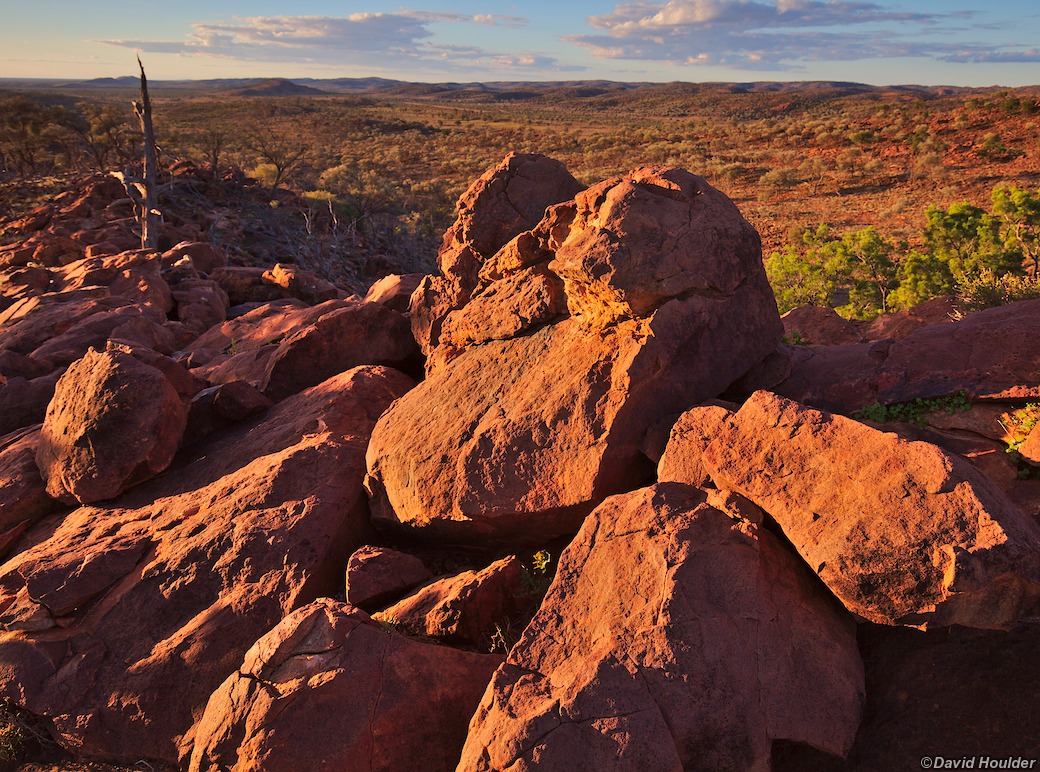
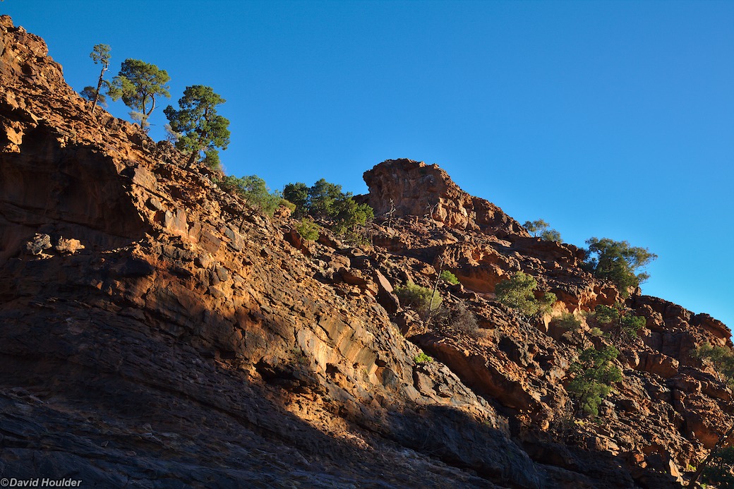
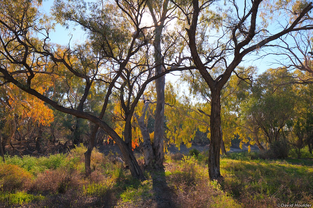
Mutawintji is probably the most scenic of the three parks. The sandy beds of the two main watercourses in the park, Homestead Creek and Mutawintji Creek are home to large red gum trees. The creeks are incised into the red rock of the Byngnano Range, and the upper parts of Homestead Creek are dotted with small rock pools and cascades if the creek is running. Cypress pines and Mulga trees grow amongst the rocky outcrops at higher elevations. It's also renowned for its Aboriginal rock art, and remains a culturally significant site.

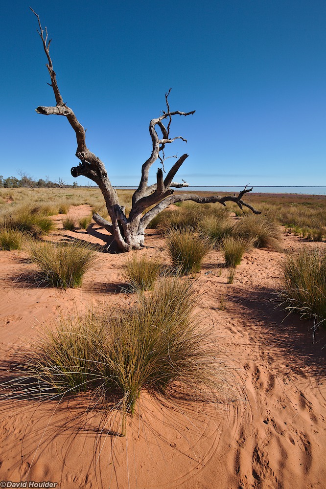
Kinchega is bounded on the east by the Darling River, and contains several large, shallow lakes.

Mungo is best known for its archaeological significance, with human remains dating back 40,000 years being discovered there  in the 1960s and 70s.

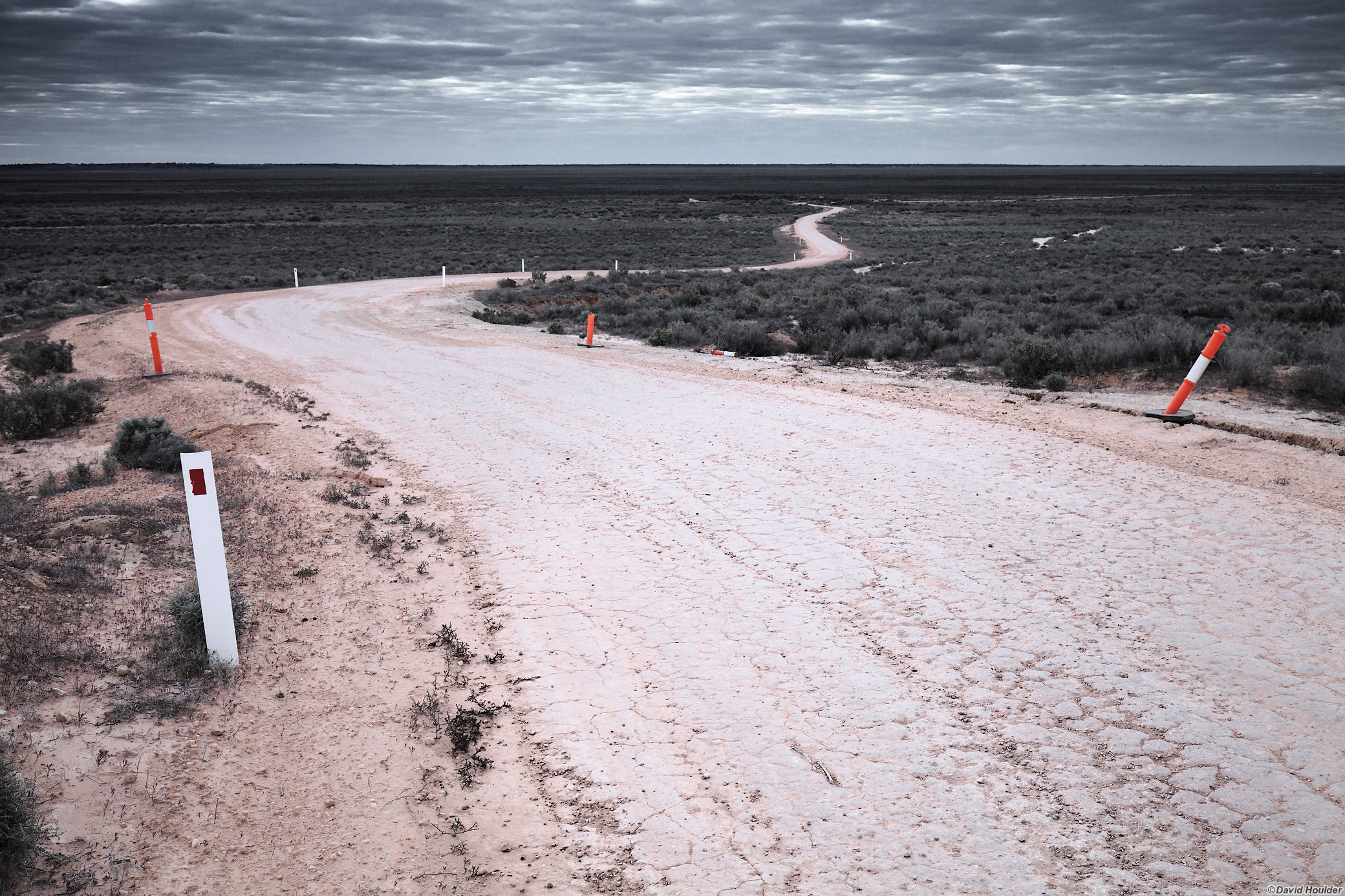
A fair bit of the route is on unsealed roads which become impassable, even to 4WD vehicles, after just an hour or two of rain. These roads are made of clay and silt, and provide about as much traction as an ice-skating rink when wet. Check with the local police or other authorities about road closures.

Winding dirt road disappearing into the distance

Looking west from the ancient shoreline of Lake Mungo.

Tens of thousands of years ago the lake was full, and life thrived around its shores. Just to the right of this spot is the area where human remains dating back 40,000 years were discovered.

Weathered wooden fence, rusted gate, shrubs and distant shed
In the late 1800s, a woolshed and yards were built near the western edge of the ancient Lake Mungo basin. The shed and these fences were built from the local White Cypress Pine (Callitris columellaris). They've not succumbed to termites, but the harsh climate has clearly taken its toll.
Mungo Dunes
Until the introduction of sheep grazing in the 1880s, the dunes on the eastern shore were stabilised by vegetation. Since then, erosion has taken its toll and now the dunes near Vigars Wells are slowly moving eastwards, driven by the wind.
Dunes and footprints
Photographer on Dune
On this trip I was accompanied by Judy, Steven and Stephen, seen here clambering around the dunes near Vigars Wells. There's reliable water here via a soak behind the dunes, and Cobb and Co coaches used to stop here in the 1800s.
Silverton Ruin
Homestead Creek loop walk
Starting from the main campground, the Byngnano Range loop walk in Mutawintji National Park takes about five hours and provides great views of the park. There had been a decent amount of rain in the previous week, so the creek was merrily trickling its way from pool to pool.
Mutawintji panorama
A 180° view looking north from the highest point on the Byngnano Range loop walk.
Homestead Creek
View of Homestead Gorge
View from Mutawintji Ridge
Just west of the main campground is a ridge, offering good views to the north and west. A marked trail starting and ending at the campground takes a couple of hours.
Birds!
Mutawintji, like many places in the outback with reliable creeks and waterholes, is a magnet for birds.
Budgerigars
Your classic Little Brown Bird
Mutawintji Gorge
Mutawintji Gorge is situated a few kilometres to the south of the main camping area at Homestead Creek.
Workshop fence
I saw this while walking to a cafe near the river.
Kinchega campsite
The most popular campsites in Kinchega are probably those along the river drive. A very windy road follows the meanders of the Darling River, and every hundred metres or so there's a campsite like this.
Lake Cawndilla
To the west of the Darling are some of the Menindee Lakes. These ephemeral lakes are now managed as water storages, and it's fairly common for them to be very low or completely dry. Lake Cawndilla is the southern-most lake in Kinchega, and had plenty of water in it.

At first I thought these purple flowers were Paterson's Curse, but they're not. Any ideas?

Boiler
Before it became a national park, Kinhega was a sheep station. Scattered around the shearers' quarters and woolshed is a collection of 19th century farm machinery.
Kinchega Woolshed

...And at night the wond'rous glory of the everlasting stars... (Banjo Paterson)

Karloo Reach
Just off the road north of Pooncarie is a prime example of one of the majestic meanders of the Darling River.